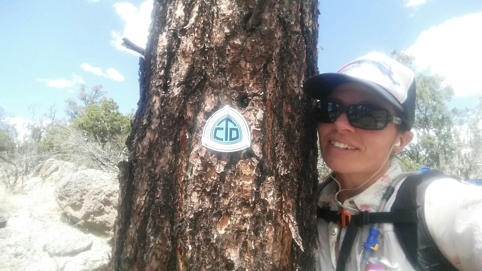
Continental Divide Trail: Day 26 – 20 Miles (428 miles from Mexico)

I have a heavy heart this morning. I just got word that a friend’s husband passed away (cancer) and this comes not even a month after another friend’s husband passed away (cancer). The three of us went to highschool together….we are in our late 30’s, and to have both deaths so close together is mind boggling. I’m hiking for them today. For the inevitability of all of our passing, but in sorrow that theirs was too soon. Missy & Melissa, I love you girls and wish I could be there for you.

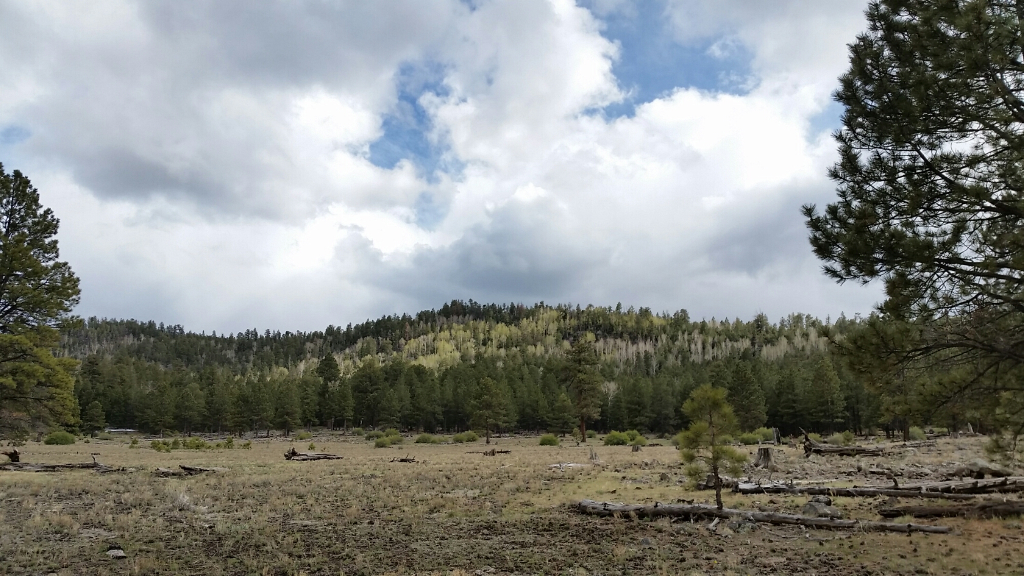
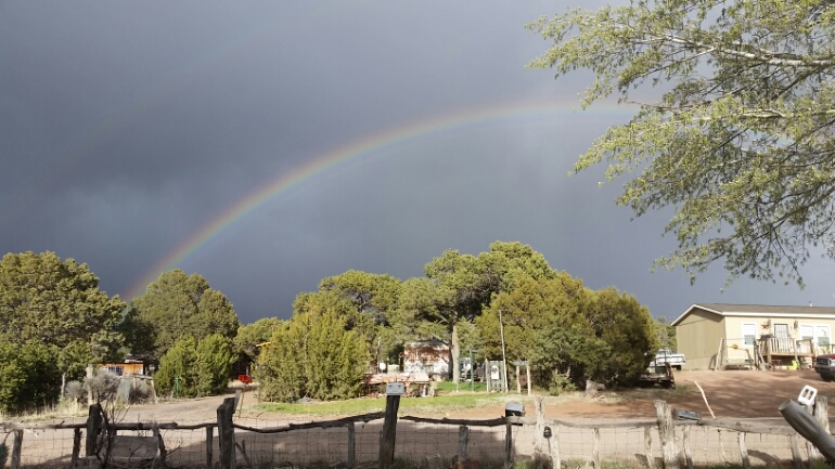
The day started with snow. It blew in cold and fast…having looked at the weather report I expected it after noon, giving me time to hike up Mt. Taylor before it hit, but it started early. I fought with the decision to climb it or not, and after the sun had come out for a while and as I hiked toward the mountain, I had a break at the junction. Sure it was cold, but I could at least check out. I headed up the road to the summit trail,  turned a corner and realized the mountain was covered in snow already and it looked to be white-out conditions. Well, I turned around. While I’m solo I still want to be safe and enjoy myself, and that did not look like fun up there. Bummer, on a good day I bet it is a breathtaking view.

image

It was fun at first!

image

Getting deeper...

So I hiked on the CDT and got snowed on, and hiked and snow, and break, up because it was too cold for break, snow.

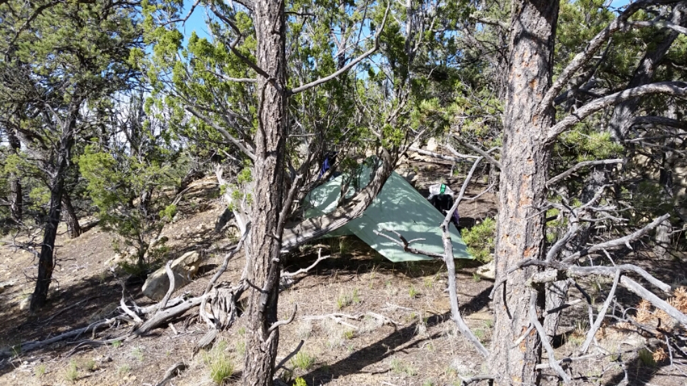
COLD but I was doing ok, I kept changing layers as it got cold then I got warm then the sun came out, anyway….i kept moving until I decided to put up my tarp and have a nice long lunch/nap in my sleeping bag…when I look up and see a pavillion! A shelter with a nice gravel floor! Wow! And cars….hmmm dayhikers?

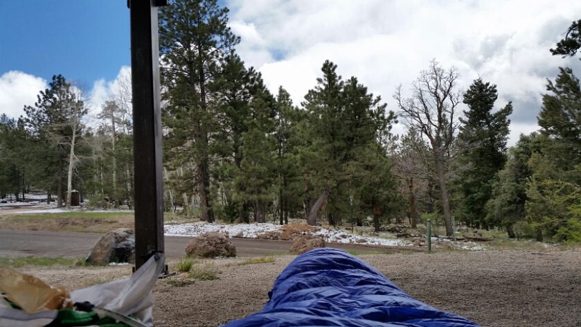
So I set up all my stuff on the floor under the pavillion and proceeded to stay there for two hours in my sleeping bag. At one point a woman came out of the woods behind me; she had been trail running and that was her car, the other belonged to two other women running with her. People!
image

Sitting in the pavillion

We chatted for a while as I was still on the floor in my sleeping bag…ha! It was cold! One of the women gave me a banana and the other some crackers, nice!

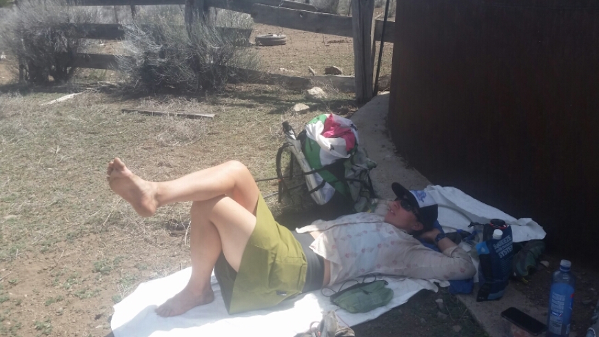
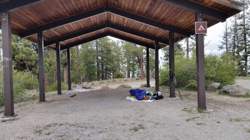
Then I layed back down and dozed a while when I heard a car drive up the road (dirt forest service road…sometimes you have no idea how used or unused these roads are). Out gets a cop, he was concerned when he say someone laying there on the ground, but once I gave him my story he understood. He drives around now that more roads are open for the season to check things out. Ok, well when he drove off I packed up, I might as well hike some more.
image

What I looked like to the cop; I was napping.

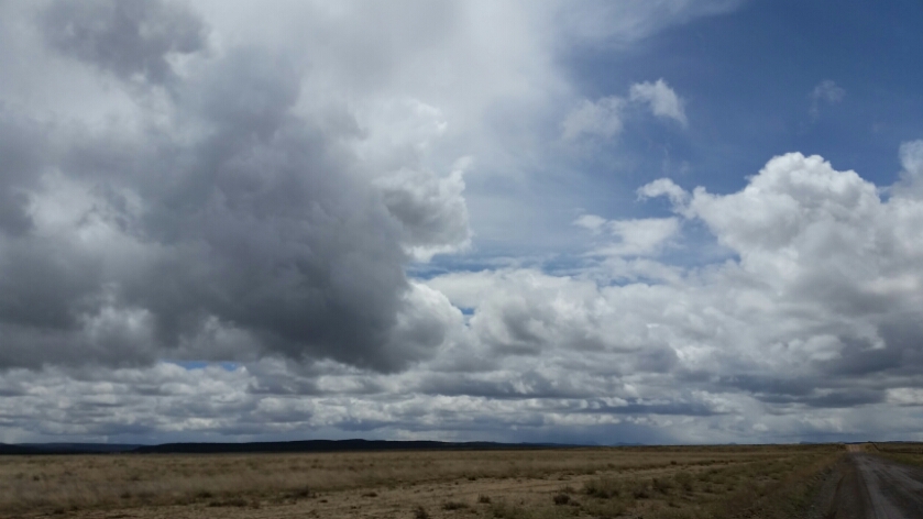
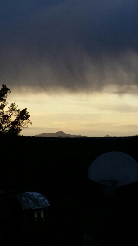
A repeat of the morning. Snow, sun, warmish, cold, cold, snow…..repeat. At my last water source for the next 25ish miles I strapped 14 pounds of water to my pack, and the going was slow after that.

image

Wild horses!

image

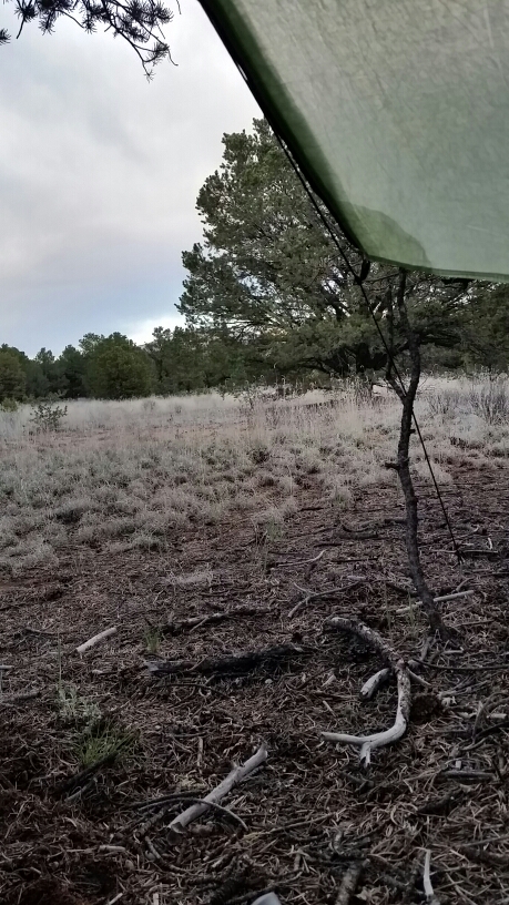
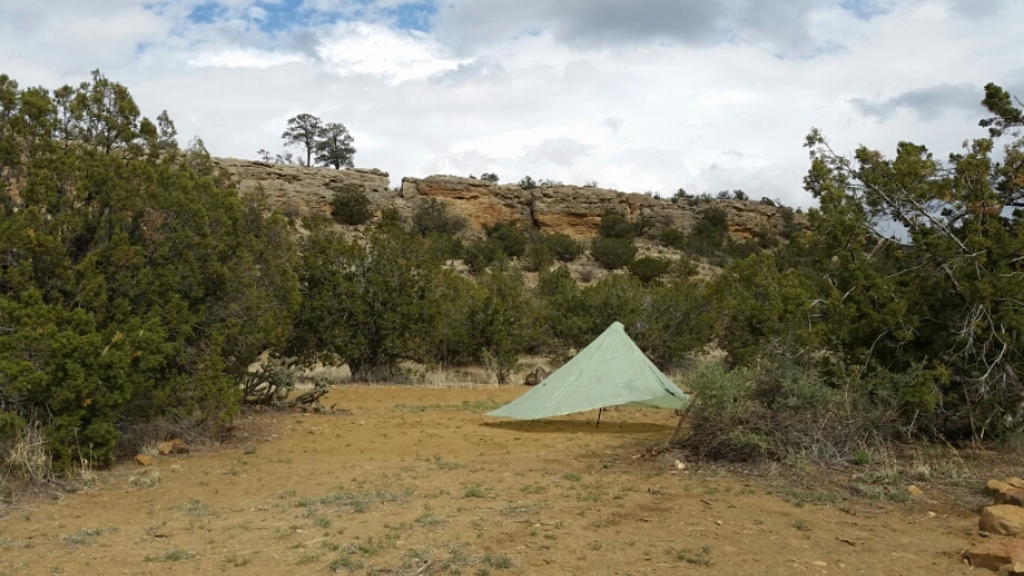
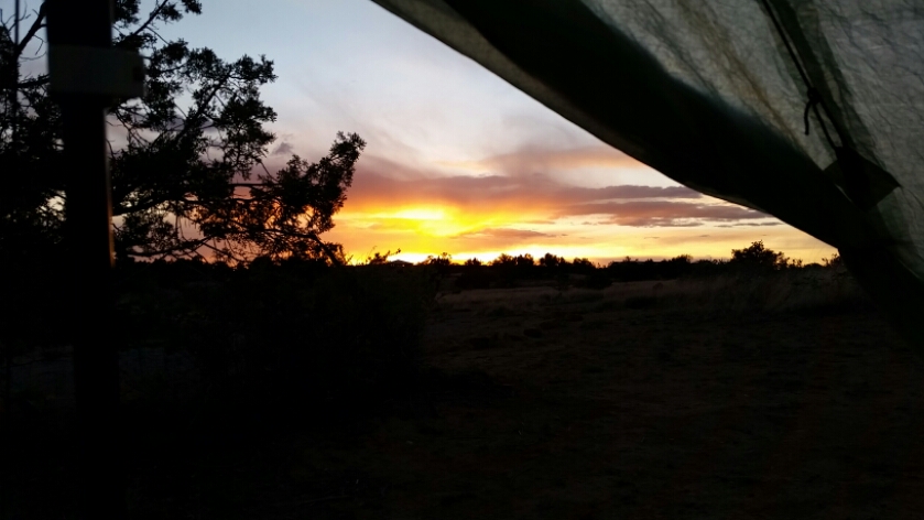
I found camp and am DONE. It’s a cold night but I have my SMD tarp staked snug to the ground, and I have the hood of my jacket snug on my head…it’s almost too warm…I got this!

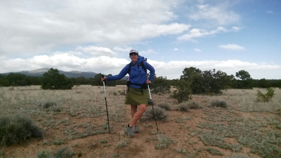
All my gear is doing awesome out here, super happy with what I chose to carry…my new Oboz Luna’s are SICK! I swapped my shoes out in Grants, and these babies were meant for me. We just cruise over the rocks like they’re nothing. I love the agressive soles on these things.

So tomorrow: hiking. Day after: hiking. Day after that: doing what I love, hiking.

image

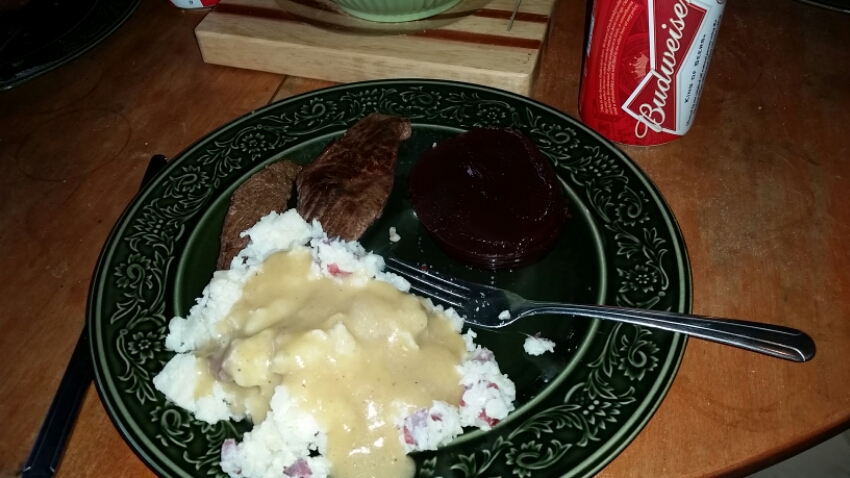
And sucking on almond butter packets

Continental Divide Trail: Day 25 – 13 Miles (408 miles from Mexico)

I woke to Godzilla at 3 in the morning. When I woke in the middle of the night I thought about laying there trying to convince myself to go back to sleep, but then I remembered I was in a hotel room…with cable! Now I don”t even have a TV in real life. Sure, Kirk and I watch enough Netflix that it’s practically the same thing, but all those channels? Dude. I watched some movies…and 3am this morning it was Godzilla.

I did end up going back to sleep for an hour or two, but at 6am i was up and making coffee, planning what I had to do before hiking out, and before check-out at 11am.

Somehow I got everything done and by 12:30 was trying to decide between the brisket on fry bread, or the Navajo Taco at the local cafe. YUM. I went brisket.

Then commence the walking on pavement again…but not for as long this time. I headed north out of Grants, and got a bit nervous as I hiked past the prision…a few were out in the yard and I couldn’t hear what they were yelling because I had my headphones on and the music – loud.

image

Before long I was at the Mt. Taylor trail head, and on trail! Wooooooweeeee! There is more rain and storms on tap for the next few days, so my climb up up up wasn’t too hot for all the cloud cover. I topped out at a mesa, and have a wonderful few hours of walking on top of the world before climbing up to over 11,000 on Mt. Taylor.

image

image

In fact I camped with a view of the mountain. Oh yes, we will meet tomorrow.

image

Continental Divide Trail: Day 24 – 17 Miles (395 miles from Mexico)

It’s interesting to look at the miles I’ve hiked (or think I’ve hiked, sometimes all I can do is guess) compared to the “official” CDT mileage. Because I took the Gila alternate as compared to the Black Range, and the roads compared to the longer walk over the lava flow, my milage is over 100 miles less to this point that others that took both of the longer routes. Again, not that one is better than the other, they are just different hikes…I can truly see that almost no one hikes the same Continental Divide Trail, there are just too many choices to make on a daily basis that impacts mileage and routes!

So yesterday ended with an amazing sunset. The day was another test (aren’t they all though?) of my resolve and I had to make some route choices.
image

I hiked out of Sand Canyon where I was perched on a ledge out of sight from the old road below, and the hiking was serene and beautiful. There were less clouds in the sky than the previous few days…but no clear sky by any means. I had a feeling I would be seeing more rain.

image

I started the day with a pose and some rocking music

image

Sand canyon

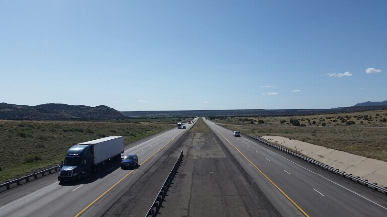
I arrived at highway 117 and was in for a LOT of miles on the pavement. I tried to mix it up by walking on the grassy/sandy shoulder of the road sometimes, but often those were uneven surfaces, and it was just easier to walk on the edge of the road even though it gives the feet a beating.

I took a break in some sage bushes on the side of the road, thinking anyone who spotted me from a car would think I was homeless or crazy or both. Hmm, maybe!
image

I walked through the Narrows, a high sandstone cliff that towers over the road…narrows because on one side cliff, the other side jagged lava flow. Pretty freaking cool!
image

I followed the road around to the towering Natural Arch that has formed in the side of the cliff. There was a pull-out and short trail to take a closer look at the arch, and a bathroom! and garbage cans!!! The simple things just make me explode with joy sometimes.
image

I continued on the road to a parking area where I took a nice long break and had to decided if I would take an alternate that took me over some lava flow and up a canyon to the west side of Grants (but possibly NO water on that 23 mile section) or continue up the road, there was at least one water source, but I wasn’t sure about camping options since most of the land was Acoma Reservation land; I wasn’t about to poach that. When the rain started to come in again and distant thunder was in the air, I opted for the road walk. Ok, maybe I’m a weenie when it comes to lightening, but oh well. My choices to make! From there I looked up on my phone (oh the power of smart phones!!!!!) a public land map to see where along the 15 miles of road could be a place to camp for the night. I found a pocket of BLM land was mapped…probably my only choice for a legal camp spot, so I continued up the road.

image

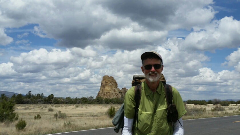
I met Montana Mike on the road

Just 4 miles later I found a sign that said BLM Campground. Huh! I didn’t know that was there, it was the answer I was looking for. Granted it was a few miles short of where I wanted to hike, but I knew not to look a gift horse in the mouth. And as if the world wanted to let me know I had made the right decision, there was a momentary break in the clouds and rain, and the sun came out as I hiked up the road to the campground. Thanks world!
image

image

Home sweet home

The spot was free and I claimed a square of ground. Soon after I met fellow traveler, Lou, who is bike-packing around the west. What a treat! The next 3-4 hours we talked each other’s ears off about adventures, plans, trips, and more.

When I woke this morning on my sandy little spot of paradise, I quickly pack up…I was going to town! Now I know I just left Pie Town, but there are towns where you have to wash your hair in a trickle of warm water with dish soap, and there are towns with hotel hot tubs, Dennys restaurants, and just about any kind of fried food imaginable. Oh yeah, Grants is that kind of town!

image

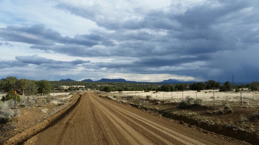
More road

image

Go road? Go Macro!

I pulled up to the Highway 40 intersection with 117 to find a Subway!!! Actually Restless Wind had sent me a text letting me know the Subway was there (He’s about a week ahead of me on the trail), so I ordered up my 6″ sub and reveled in the ability to sit in a chair at a table. (the little things!)

I hadn’t looked too closely at the map….I thought I was closer to Grants than I was…but turned out town was another 5 miles away. Ugg. Ok. Pack on, rootbeer in hand, I kept walking.

image

Those things are moving fast

The road is KILLING my feet. Ouch. The pounding.

I finally crept up to the Travelodge to get a room for the night. Hot tub, laundry, continental breakfast, walmart and Dennys right next door, it was no suprise to find this was a popular spot for other hikers. The woman at the front desk told me the local news had been in to do a segment on the trail just yesterday and they had a whole group that had been staying there.

I just wanted to chill, so I got a few beers, some snacks, epson salts, and various other goodies, and only left the bed and cable TV to take two showers and an epson salt bath.

image

Explosion!

image

My view

Ahhhhhhhhhhhhhhhhh.

Continental Divide Trail: Day 22 – 20 Miles (356 miles from Mexico)

I just want to hide today. Actually, I think I’m hidden pretty good up on a canyon ledge…Can I be antisocial if there are no other people around? Since waking up this morning in the Thomas’s trailer, I’ve only seen cars…no other hikers, but I still just want to pass by unnoticed. My mental state can probably be partially attributed to my monthly cycle…retreating into myself can happen during that time, but also the weather and warnings I’ve been getting must play into it as well.

After a close brush with lightening yesterday, I was not pleased to see the forecast was the same today. After a pleasant first mile or two on the road, the sky opened and rain fell. I was covered up nice and good, but I started re-thinking my plan to hike the Malpais, or the lava flow area. It is rich in history of the native americans that traveled through these parts, but I knew there were no trees for much of it. In fact, I would be the tallest thing around, and with dark clouds on the horizon and even darker ones sure to come after I had some thinking to do.

image

Hiding at break

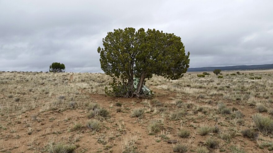
My mood was in the dirt…so I set up my shelter next to one little tree that I could find before they all disappeared, and mulled over my route choices. I made a hot dinner and took a nap too…at the end of my break I decided to go the route of trees and canyons…and not play the human lightning rod. Yes, I feel a bit lame for skipping out on that section, but as a solo hiker I HAVE to hike where I feel most safe.

Ahh safety…so apparently there has been some drug smuggling activity in the area as well…the Ley maps allude to this and Snorkle actually has a chilling story about the next stretch of trail I will hike…needless to say I am NOT camping there, so have cut my day short to camp safe and hide in case there is anything to hide from. And I also touched base with my good friend Sage who had some words of caution about Grants…apparently she had an unsavory interaction there and just wanted me to keep my guard up, all of these events have me holed up in a tree as camouflaged as I can be.

image

Hiding at camp

The clouds are dissipating, the sky is supposed to be mostly clear tomorrow, maybe I won’t be as tired and will be a bit more optimistic.
image

Continental Divide Trail: Day 21 – 16 Miles (336 miles from Mexico)

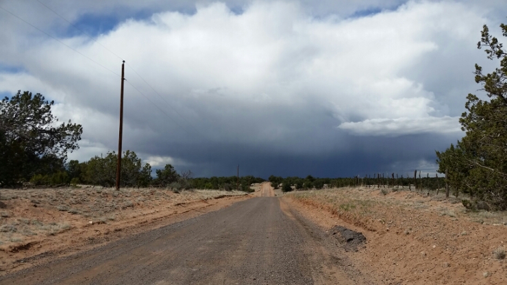
Back on the trail…err, road. More road walking today, but the excitement came with a massive lightening and hail storm. Oh joy. Well my rain gear works…having an umbrella is pretty sweet too. But strikes about a mile away were NOT enjoyable.

image

Its coming for me!

The morning started out better, coffee, eggs, and more good company followed by a trip to the post office to pick up my resupply package and a box of goodies from my parents…mmmm, more cheetos!

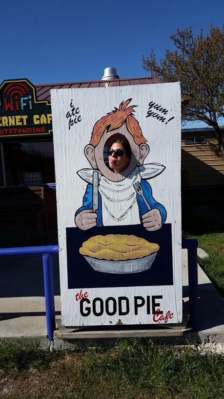
Boston Bones and I stopped by the Pie Town Cafe where we had lunch yesterday to take our photos in the big cut-out out front, when the owner came out to see if we were there for breakfast…I already ate, but ok! I can have a second helping! The restaurant wasnt quite open, but he made coffee for us while we waited for the grill to fire up. Mmmmm.

image

After that I went back to the Toaster House to pack up, and headed out about noon. Heavy pack, I know I have more food than I need, but it’s so hard to give up the goodies I sent myself and my folks sent, so I’ll eat well this stretch.

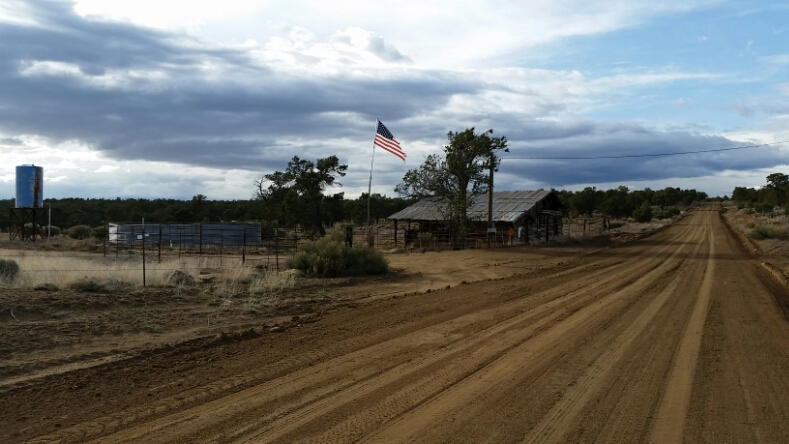
The road out of town was not a friendly place. Sign after sign warned against tresspassing, and I started to wonder where I would camp. I knew that about 16 miles down the road at the Thomas Mountain Ranch that I could get water, and the folks, I had heard, were quite welcoming.

image

image

A welcome sight!

After the storm, and the threat of more to come during the night, I figured I would ask the Thomas fam if I could camp on their land.

I arrived, and seeing a sign saying please knock, I did so an the door opened to some of the friendliest and most welcoming folks I’ve met. They were about to sit down to dinner and invited me to join them, wow! And then to top it off they offered me a place to sleep in their RV in the yard. I would have hiked on or tarped, but the thunderstorms were thick in the air, so I gladly accepted their offer. I’m all set up and am reveling in the generosity of these folks, and grateful I don’t have to be out in the storm (I HATE lightening).

Peace!

Continental Divide Trail: Day 19 – 26 Miles (320.4 miles from Mexico)

We do a lot of crazy things out here with a little bit of incentive. My incentive this morning was pie. When I woke at 4:30 to answer nature’s call, I figured I should get packed up and start hiking….the cafes in Pie Town have early hours, 3 or 4pm I had heard…so if I had any hope of eating pie today, I needed to start hiking early. Lets go!

image

I started with coffee in hand and my headlamp on…it was a road walk, so I knew I could make my way until sunrise. Yes I am crazy. And I flew. I had 10 miles by 9am, and took a short break and kept hiking. Maybe to you hiking that many miles for Pie sounds a bit loco, but after a few weeks of hiking big miles, little things like food take on an incredible importance, and I don’t even have my hiker hunger yet! It’s also interesting to push yourself a little bit to see what you can do.

image

The last 10 miles were uncomfortable. I put on music to take my mind off the pounding in my feet. Now there is acceptable pain, and dangerous pain. I knew the fatigue in my legs and the pounding in my feet hurt, but wasn’t doing me any real damage, so I kept hiking. Blisters can heal, tired legs can rest…although after days like this you often need a day off to recover, but I can’t pick up my resupply box until Monday (today is Saturday) so I would have a day off anyway. So I keep hiking.

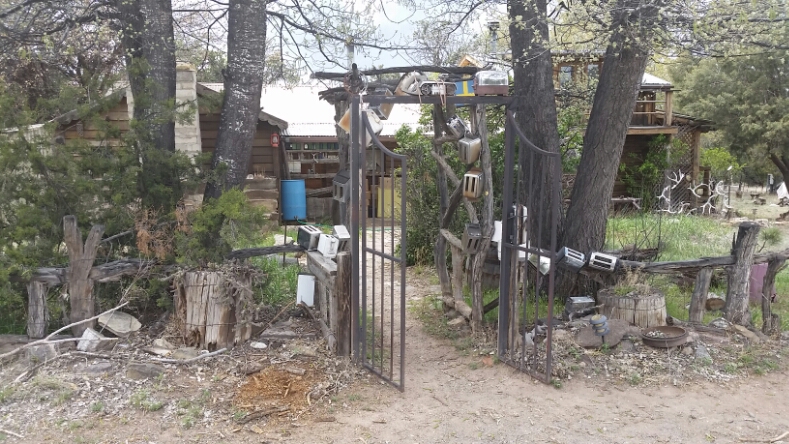
About 2pm I pull into Nita’s Toster House…a hostel so called for the numerous toasters that decorate the exterior. Why? Not sure, but I know it is a haven for hikers and cyclists that pass through this lonely corner of New Mexico. There isn’t anything in Pie Town except for a few cafes that serve pie and a few other food items, a small post office, and the hostel. You have to send a resupply box here since there is no store, and the hostel becomes an eclectic meeting ground of travelers.
image

I claimed a bed upstairs in the loft and limped down to the Pie-O-Neer. I ordered the mexican apple pie with chilis in the pie, yum! and met Andy, Lion King and Bird Dog. We exchanged stories and then I went back to the toaster house to shower (next door at the RV park…yes it was delicious, but since there was no shampoo I used dish soap, that works pretty well!)

There is limited to no phone reception here, which makes a lot of us techno-folks a lot more present…and the rest of the afteroon/evening I caught up with new hikers Grits, Boston Bones, Andy & Axyl.

After a few beers and scrounging in the hikerbox and the fridge/freezer, which is stocked for hikers, I’m ready to turn in. The new blisters I earned today need to heal and I need to sleep.

Continental Divide Trail: Day 18 – 24 Miles (294.4 miles from Mexico)

Sleeping high on a ridge was actually quite warm last night. I didn’t even have my sleeping bag cinched so tight that only my mouth was exposed…some of the last nights have been like that…

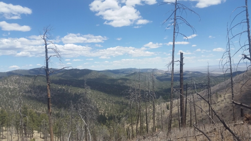
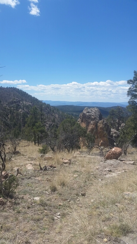
The day was beautiful and we traversed the high ridge and climbed a bit more before dropping down down down a few thousand feet…the view was stunning, we could see the town of Reserve to the west, and the rest…what we would walk through later.

image

image

We hiked all morning since there was no water to be had…often we’ll take breaks at water sources as we fill up, but we’ve had a long carry, and will have another long carry after our one source today at a cow tank windmill. We met Peru hiking south to complete a section…she filled us in on the hikers we know…there are bunches of people behind us, and some in front, but like many thru-hiking bubbles, we are probably all traveling about the same speed, so haven’t seen anyone new in days.

image

Peru

We took an early lunch at the windmill and I filled up all 6 liters of capacity anticipating 15 more hiking miles without water, a dry camp, and possibly 10 miles of hiking tomorrow before our next good source. There have been a number of good seasonal sources, but you never know when those are going to end, and I like my water. I’m happy to carry much more than I need for the assurance that I’ll be covered.

image

Gotta get my nap in

image

Bearclaw & Axyl at our one water source

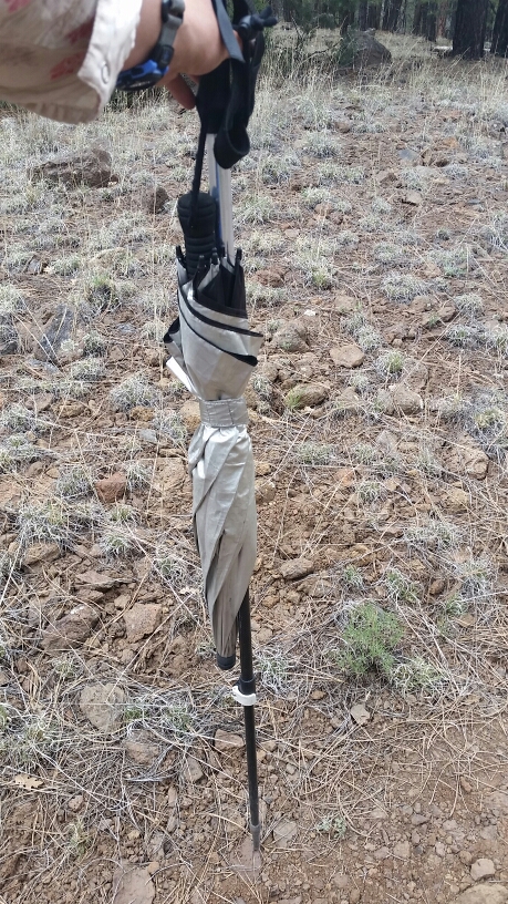
The afternoon was pleasent roadwalking, and some incoming clouds and possibly thunderstorms gave us some much desired shade. We had a few sprinkles at one point so I busted out my umbrella. When it passed without much happening, but the threat still present, I discovered I could wrap the umbrella around a trekking pole, giving me easy access if I needed it! I was quite proud of my discovery. But, no, I didn’t need the umbrella again.

image

Brilliant!

We wound our way through some rolling hills finally to Mangas Mountain, the site of a lookout tower and we hoped a place to lay our heads for the night.

The climb was slow and ardous since we were tired from a long day, and when we got up I sure enough, passed right by the side trail to the lookout. When we realized it, we were already about a mile from the tower. No way we were going back, an extra mile!!!

So we found flatish spots to camp…unfortunately Bearclaw’s foot is having some swelling and pain…possible fracture??? She’s going to get a ride from the lookout in the morning to find out what the deal is. We just had a friend, Race, get off the trail a few days ago due to a staff infection in his foot. Man, the stakes are high out here! I wish Bearclaw & Race speedy recoveries!

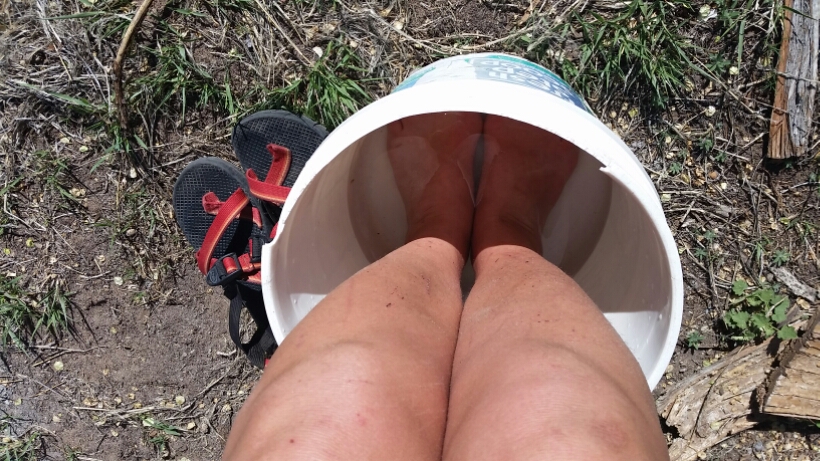
So Axyl and I will make our way to Pie Town tomorrow. I’ve already been dreaming about what food I’ll eat…but even more exciting willl be the shower I’ll take. It will have been 11 days since my last shower. 11 days!

I’ll leave you with that odor.

Continental Divide Trail: Day 17 – 21 Miles (271.4 miles from Mexico)

I’m going to try and not start each blog entry with “I’m tired,” but when I and writing at the end of a long day, it’s spot on. Just know that I’m tired…these miles sometimes flow, sometimes get hiked in fits and starts. Today I’m surprised to have hiked 21 miles…my legs sure feel it.

The three of us didn’t get started until almost 7:30…quite late by my standards so far. As Bearclaw and I walked down the road we were given a quiet hello by an elk standing in relief just up the road. Pretty spectacular!

image

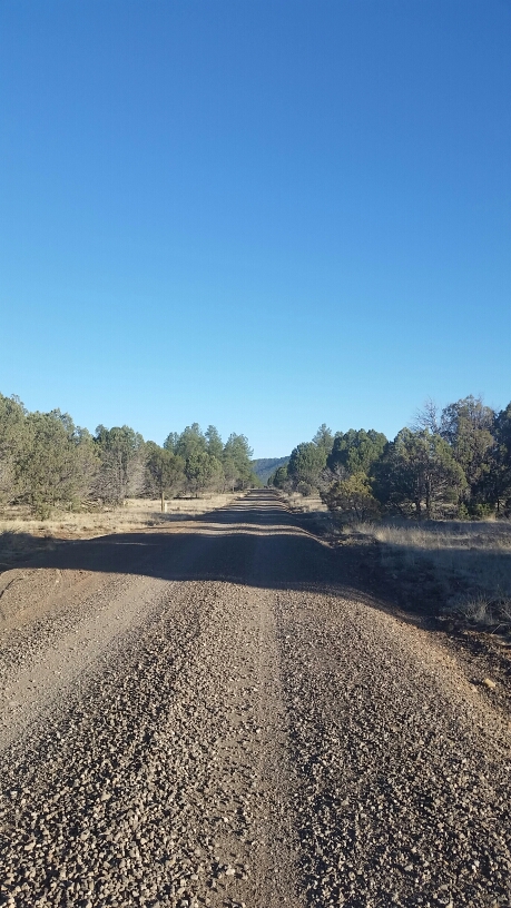
The morning road walk

The morning was COLD and we road walked quickly to try and stay warm. The start of the day wasn’t too scenic, but once we finished the Gila alternate and were back on the official CDT the views welcomed us. And reception!!! We had lunch at over 9,000′ because Bearclaw and I were glued to our phones…it has been a long stretch without reception, and we just wanted to let loved ones know that yes, we are a love, and yes, the trail is getting hiked.

image

On top of the world! Over 9,000'

A burn area made the next section a little dicey with tons of blowdowns…but soon we were floating down beautiful trail up and down wooded and rocky mountain tops. It was truly wonderful to be back on trail after so much road walking and the disappearing trail in the Gila.

image

Purdy

image

I like seeing this again

The afternoon miles did not come quickly…but now we are camped on top a ridge with the hint of a storm on the wind. We all set up our shelters and have set to dinner and other tasks. My legs are aching…the ache of many miles…but also the ache of many miles to come. I hope to make it into Pie Town this weekend…for PIE and some rest for these appendages of mine.