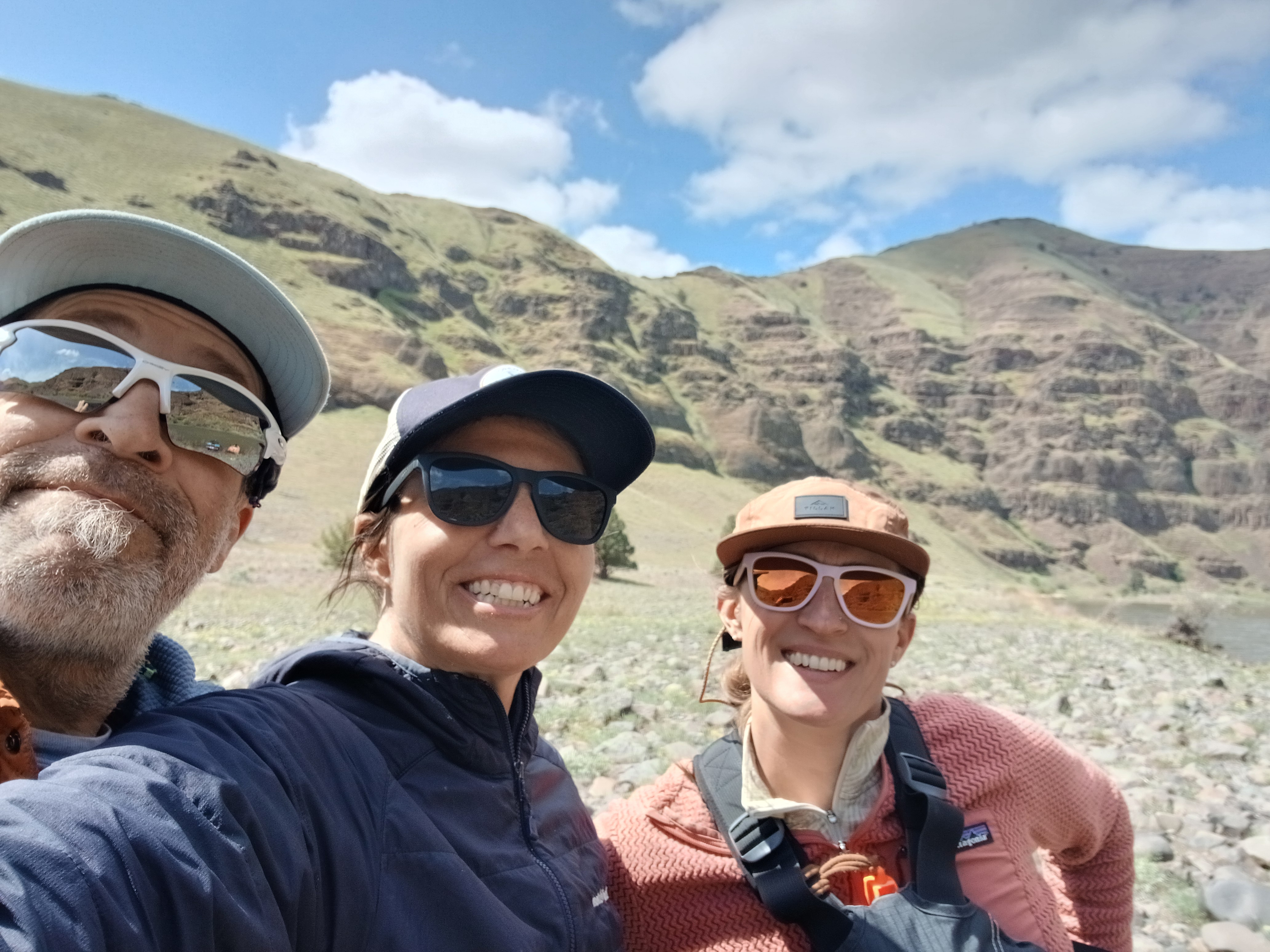
The most illuminating aspect of spending decades of my life walking across the world has been welcoming a shared experience with strangers in far-flung places.
When I met Jesse on the Oregon Desert Trail, I could only see an angry rancher with a gun on the front seat of his pick-up until we started talking about the wonders of nearby Orejana Canyon, and we both turned soft and pleasant. Sue and Don rolled up an impossibly rocky road in their ATV while I was deep in the Superstition Mountains on the Arizona Trail; I started my internal grumble at having my pleasant morning interrupted by a noisy gas engine when they offered me a cold drink and fawned over my efforts. And then there was the time I met another Renee – we were both curious about the other: one, a world traveling solo female hiker meeting another: a former nuclear engineer on the remote Lemhi Pass along the Continental Divide Trail.
It all comes down to curiosity and kindness.
I have been offered more cold water, cold beers, and cold sodas by strangers than by my closest friends and family, and that makes me very happy. That gives me hope. That with face-to-face interactions: my humanity looking at your humanity, me in my dirty pee-stained legs talking with you in your fabric-softened jeans, we can laugh together, trade stories together, and marvel at unexpected connections.
I love strangers. Especially strangers I meet when we both have something to give each other: respect.
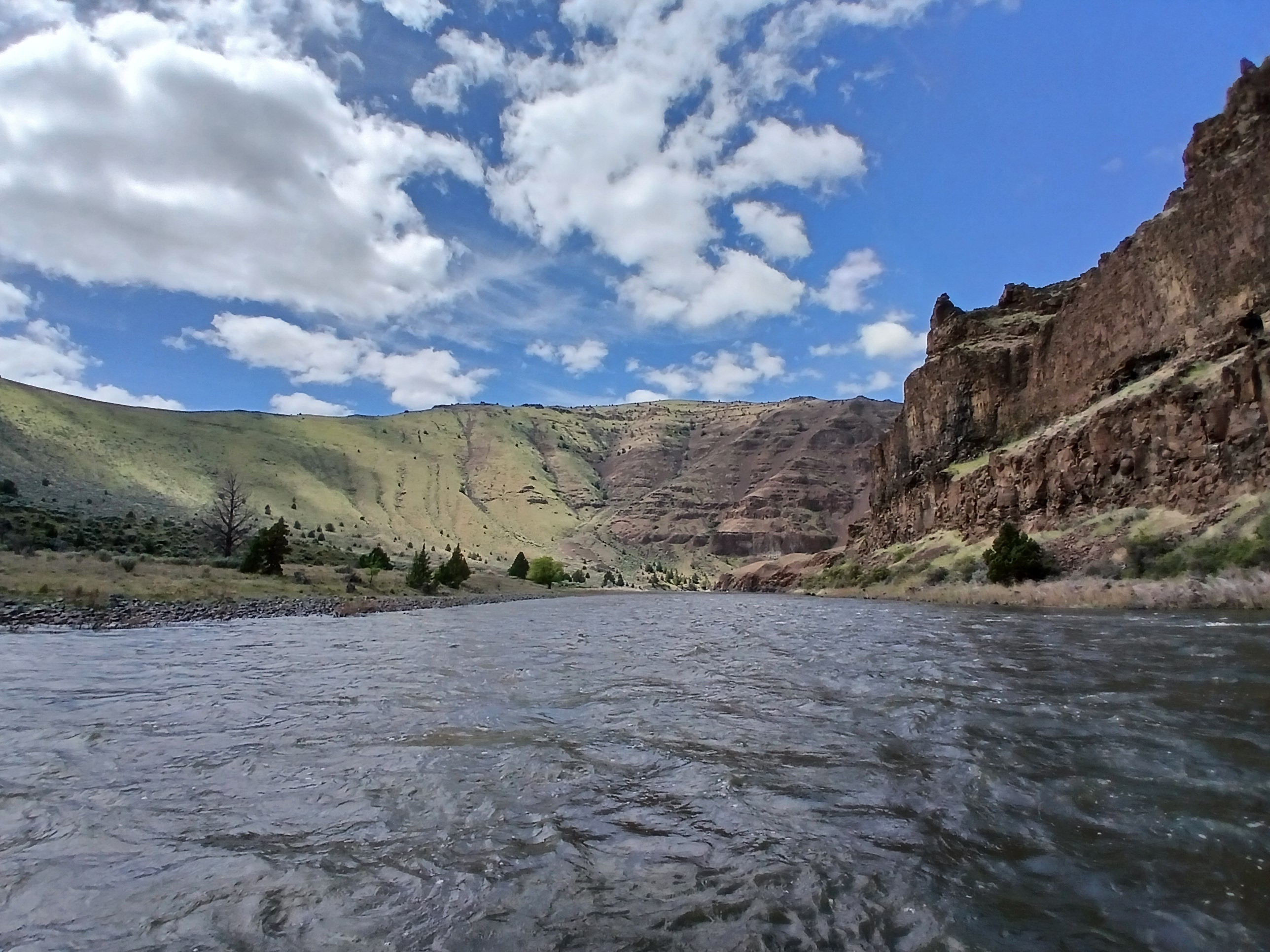
I am happy to report that my reliance on the world to keep me buoyed in optimism and hope began long before the cancer started. It began when I started traveling.
Even back in my first days in Zogore when I was the first health education Peace Corps volunteer to live in the subsistence farming community, not to mention the first foreigner, the curious and friendly welcome of the villagers instantly broke the initial barriers of language and culture in that sub-Saharan African community. Sometimes that looked like bored teenagers sitting in the shade with me while I waited for the shuttered health clinic to reopen after lunch. The head nurse, Adama, was supposed to return in the afternoons to reopen the clinic, but sometimes he didn’t. I taught the boys UNO – they taught me how to cheat. We drank millet beer out of calabashes and swatted flies as we waited the long wait.
I believe in survival of the kindest. Not survival of the fittest, which has been misattributed to Darwin for many long years. In Darwin’s first book about humans, The Descent of Man, and Selection In Relation to Sex, Darwin argued for, “the greater strength of the social or maternal instincts than that of any other instinct or motive.”
Survival of the kindest.
Why is it that kindness and connection can be easier to find away from home, when you are raw and vulnerable, or bewildered and in need?
Is that why I was transfixed by the United airlines in-flight entertainment when I started watching the Pole to Pole TV show recently?
In the first episode, I became enthralled when I saw Will Smith find a sincere connection to another human. (You must be thinking here: “Is she really referencing Will Smith twice in recent blog posts? Yes. Yes I am.) Talking about depression will do that for you, especially when each and every one of us has experienced its heavy pull before. Will was talking to professional rugby player – turned polar explorer, Richard Parks, in a tent after they traveled on skis over Antarctic ice. The camera zoomed in when both men became teary-eyed. Richard was explaining how he broke his shoulder during a rugby game, and when he couldn’t play anymore, he floundered with an identity that didn’t apply anymore (sound familiar??). Will…well in his case, you probably know about the slap heard round the world and his accompanying fall from grace.
“When you are the center of the storm, the key is to keep moving through it,” Richard said. “We need to be willing to step into the unknown.”
And suddenly I sat up in my cramped airline seat. His words echoed how I’ve been thinking about living a life with cancer. Wait, even before then… even when I didn’t know how to deal with the countless cases of malaria, AIDS, and Guinea Worm in Burkina Faso, especially when the village nurse didn’t come back to work.
I pressed play on the next episode. The next leg of Will’s journey took him to the Amazon to meet snake expert Bryan Fry. Bryan and Will were trying to find a large Anaconda and learn about indigenous ways of life when something slid into place in my brain: If you add our assured mortality to the qualities of curiosity and kindness, meditations on death really rounded out my new way of understanding the world:
We are all curious. We all benefit from kindness. We all die.
Bryan had spinal meningitis as a kid, and when he didn’t die, he decided to devote his life to finding venomous animals that might provide new cures to diseases like his. His purpose and curiosity drove him into deep caves and jungles to find the elusive toxins. I watched as Will and Bryan’s eyes welled with tears in the conversation. Did this TV show mean to reveal what happens when people are vulnerable with each other?
In order to find the really big snake, the two visit Waorani elder Penti Baihua. The Waorani live very close to nature, with very little between their skin, the jungle, and their way of life. It turns out the snake, and in turn the tribe, is threatened by oil drilling. The drilling portends the death of an ecosystem, and Penti then says, “When I walk the jungle is when I feel most free.” Haven’t I said the very same thing? Just without the jungle part?
There are connections here that I’m just starting to pull on with this blog post. If I pull too hard, I’m going to have to write a book about it, so I’ll just outline some things that are jumping out at me.
Documenting this very scene in the TV show and discussing the Waorani’s fight to save their home, even highlighting the activism and political mobilization they are engaged in, is the essence of what I’ve begun to mull over…I call it creative activism. Creative activism is using our particular talents (like the expertise of the National Geographic storytellers and camera people) to help communicate dire social or environmental problems to the world in order to activate others’ curiosity and kindness when faced with death.
What is my part to play as a creative activist? Could it be writing this very blog? For another creative activist I admire, check out Jeremy Collins’ book Eventually a Sequoia.
Ok, before I get too meta about it, I’m going to rein it in and go back to what I learned on the airplane.
Will Smith goes to the Himalayas and meets some strangers to talk about finding happiness (turns out, happiness doesn’t necessarily involve going to this gorgeous mountain range, but, I mean, it doesn’t hurt, right?)
It immediately becomes apparent that in those experts’ eyes, happiness is closely tied to experiencing death. The guide narrowly escaped dying in a car crash. Another had a brother who got advanced cancer. Will? A death of ego.
These folks hiked up to a remote monastery to speak with a Buddhist monk who said, “When you turn your full attention to death, you understand what is important and what is not.”
Will went on to extrapolate, “Staring at death introduces you to freedom.”
Chills.
It’s as if everything I’ve been thinking and processing over this past 18 months now has been summed up in this show. In fact, almost everything I’ve been thinking and living is also outlined here.
The courage to follow curiosity.
How can I be happy versus how can we be happy?
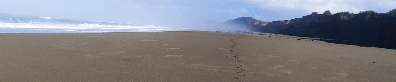
Freedom through movement.
Who are we when we react to death?