I didn’t sleep much, or at all. When dawn came I sat up and made my coffee and a freeze dried egg breakfast I picked up on a whim. Not a fan.
Today would be mostly road walking, and when I say road, I mean this:


For all the exposure and zero trees, the day wasn’t too hot. I could see clouds forming and each time I thought the rain drops might catch me the road took a turn or they stayed just out of reach. As it was it didn’t look like any of the rain was hitting the ground, instead was evaporating before it could touch the parched earth.

Mid morning I noticed a helicopter flying pretty low. To my surprise it circled me twice and went to land in the dry reservoir I happened to be walking by at the time. I had a jolt of worry that I had accidentally push my help button on the satellite beacon I was carrying. Ooooo no!!!

I walked over within shouting distance of the copter when four people got out. I soon found out they were with the Vale BLM and were surveying the earthen damns of some of the reservoirs out here. Whew. They were surprised to see me and offered snacks, but I had packed too much food as it was and passed on the helicopter trail magic.
I continued on and was so tired at lunch that I lay out flat on my tyvek and closed my eyes for half an hour… setting my alarm in case I fell asleep for real. I wasn’t sure I would wake up since I hadn’t slept last night.
Slightly rejuvenated, I ate the avocado I’ve been carrying (so worth it) and continued on the roads. I listened to a bunch of podcasts today. I was feeling a bit lonely and the voices helped to fill the space. This will be my last multi-day hike for a while (not counting another 5-day trail work trip next week and a week in Death Valley this November) and I’m ready to be home for more than a few days at a time.

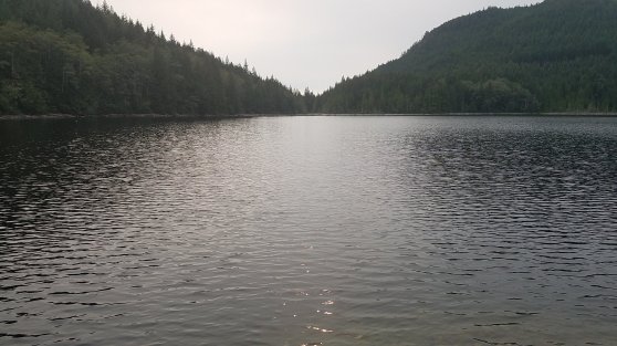
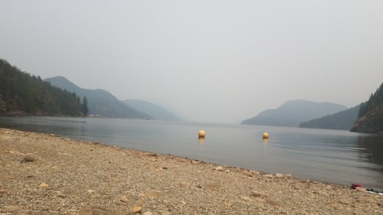
Mid afternoon I dropped down the rim to cross country to the Owyhee River for water and camp. I didn’t recognize the area from my packraft trip two years ago till I got to water’s edge and spied a huge cave surrounded by greenish spires of rock. Oh yeah! I was right around the corner from one of the most stunning sections by Iron Point and Montgomery Rapid.

The river was beautiful and much clearer than the reservoir at Leslie Gulch had been. I stripped down and washed myself and most of my clothes and soaked in the river as much as the extremely annoying flies would let me. I hope they die, or disappear, when the sun sets. As long as they leave me alone.

I thought I might have to set up my tarp tonight with all the heavy clouds from earlier in the day, but there is nothing in the sliver of sky that I can see from in the canyon.