We set our alarms for 5:30am since we wanted to get on the first ferry out of Vancouver, but we were both up before that and hit the road in the dark. (sleep is hard when excitement is high)
Playing the ferry game was going to be one of the more challenging aspects of getting to the start of a trail. Nemo had been able to reserve us a spot on a noon ferry, but we were hoping to switch that to the 7:30am boat…. We had another one to catch after this one! We lucked out and parked our car at the end of the line at the terminal (an impressive feat of logistics and crowd management) . Coffee shops and bathrooms were all over the place for the hundreds of people waiting to cross. We killed about an hour outside my car, oooing and awing as the day lightened up enough to see the water and mountains around us.

We drove onto the first ferry (Horseshoe Bay to Langdale), parked, and proceeded to explore… A gift shop! Cafe! Sundeck! We were totally the tourists with the dinner plate eyes walking around in glee.
We got in line for breakfast and by the time we were sitting down with our eggs and bacon, the ferry was docking. Throwing the leftovers in a take-out box, we got back in the car and drive off the first boat. We then had to drive about an hour to our next ferry at Earl’s Bay.
We cruised in a long line of cars that were loaded up with bikes and boats and coolers…. August on the Sunshine Coast was high tourist season and we were in the middle of it. The day was cool and overcast, which was a great relief to everyone we had met so far. The summer had been hot, much hotter than usual, and fires were all around up here too. Climate change was changing things rapidly, even on the cool and watery coast of BC.
We saw a man hitching, so pulled over and offered him a ride to the next town. He was a first nation’s member and explained he was on the way to pick up his fish. The tribes have fishing rights off the coast, but the runs had been low or non-existent for the past few years. This year was different, and the salmon had come back. There were enough fish from the tribe’s catch this year to allocate each family 50 large fish…a true bounty that would fill their freezers and bellies for months to come.
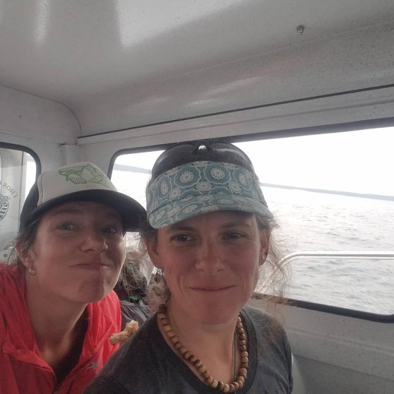
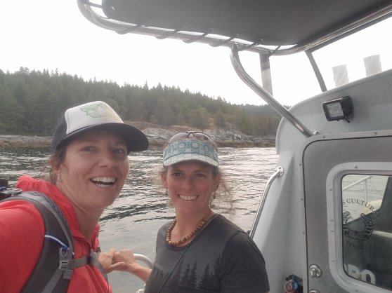
After dropping off our new friend we continued on the windy road to the next ferry at Earl’s Landing. We were toward the end of the line and crossed our fingers that we’d make it on the boat and not have to wait another 2 hours for the next one. Lucky girls! We were one of the last ones to drive onto the ferry and high fived each other…. Almost there! For this ferry ride we sat at the front of the boat on the sun deck and watched the world go by as we floated to Saltery Bay.

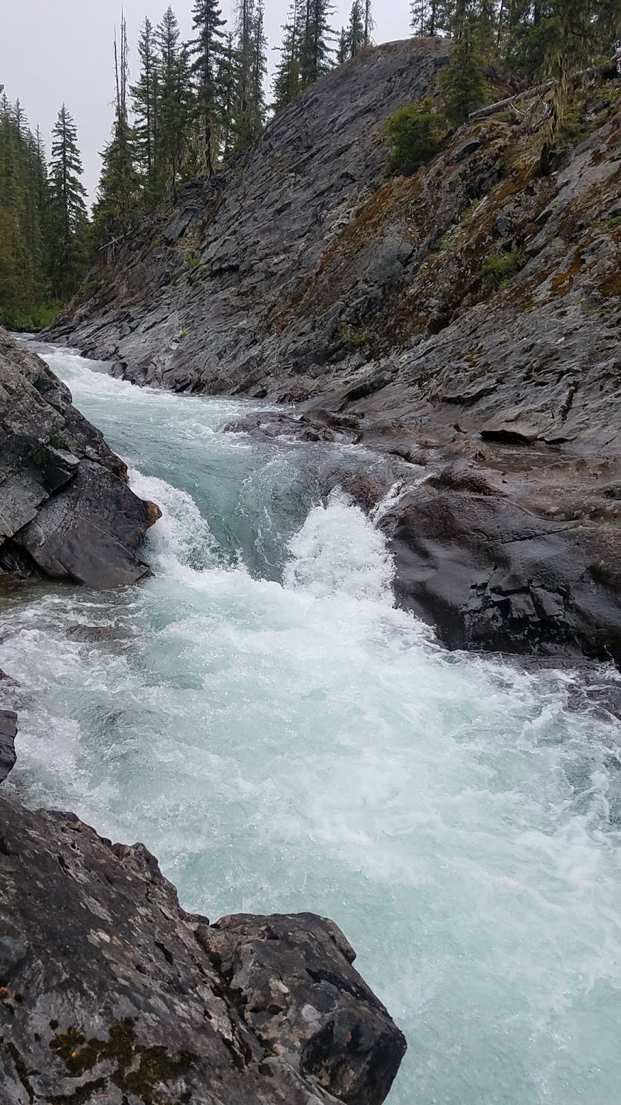
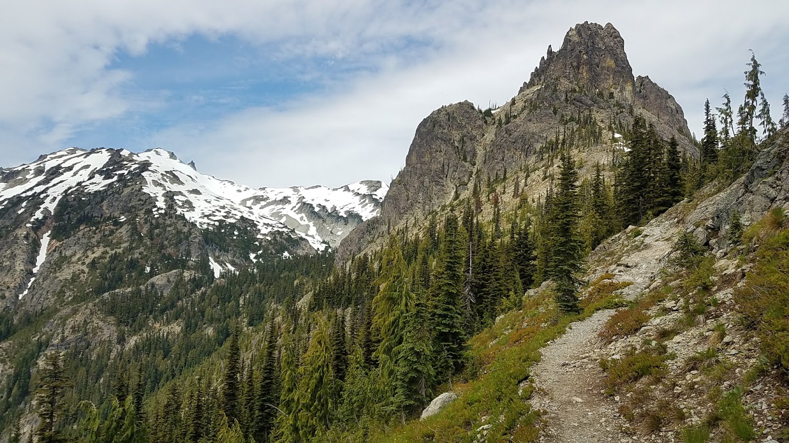
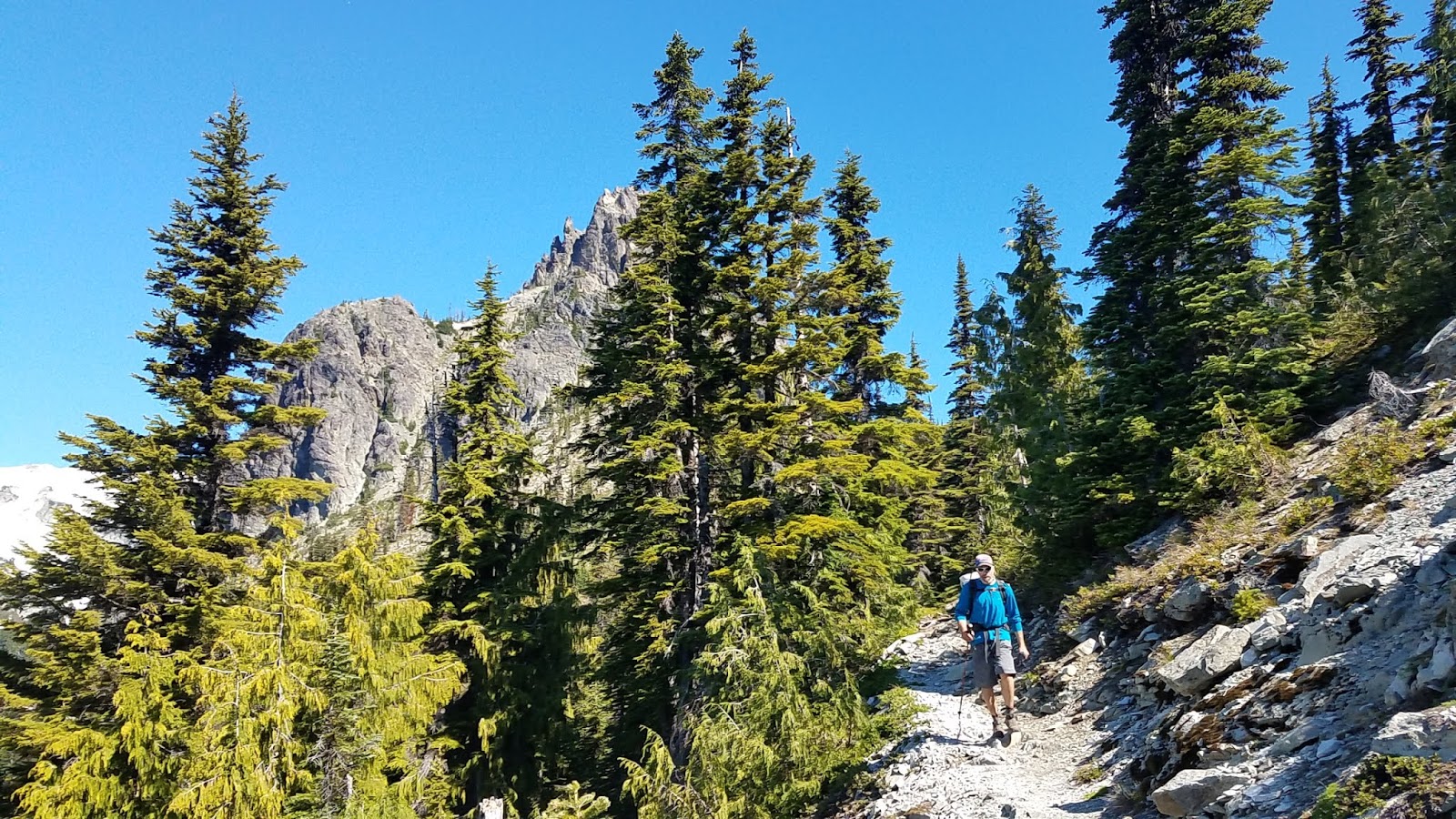
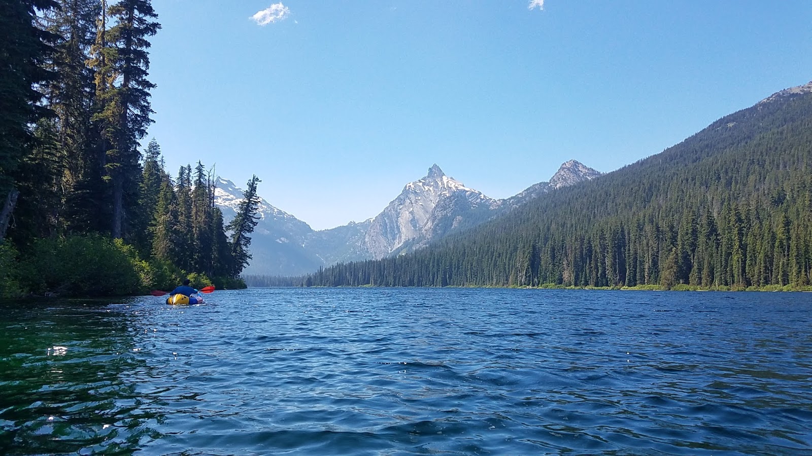
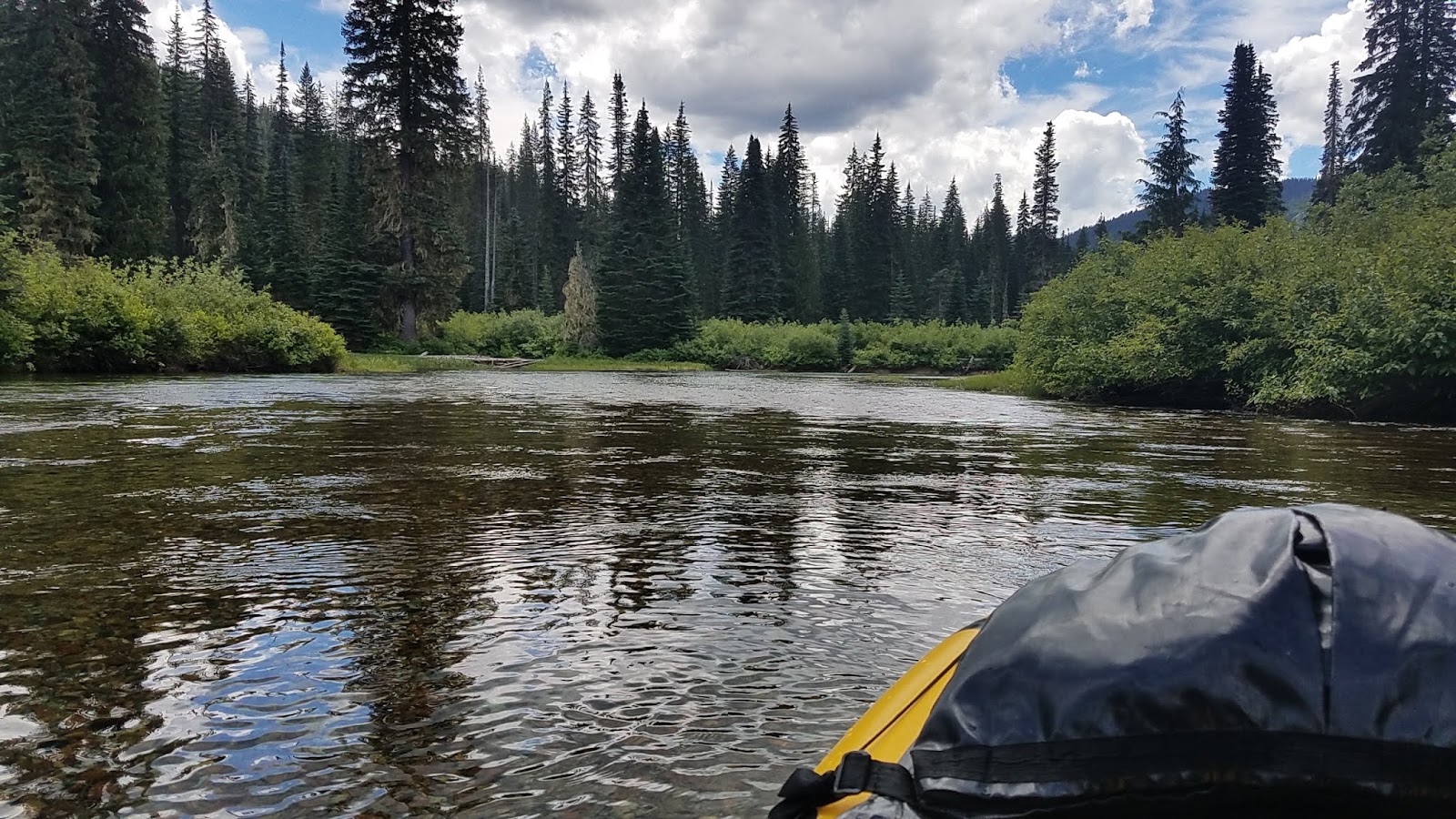
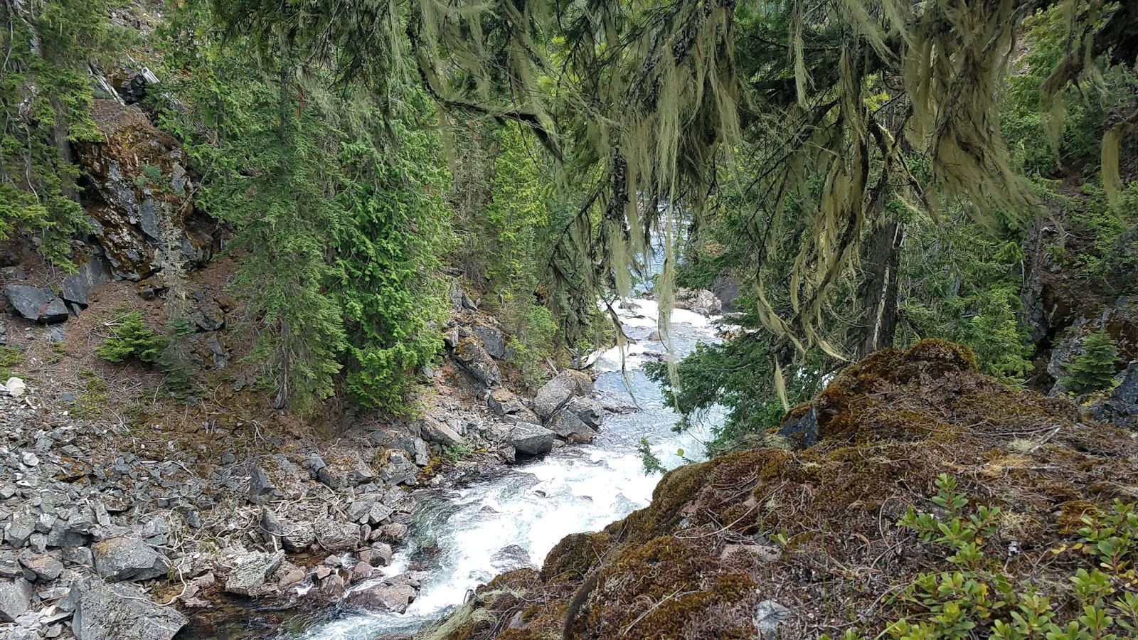
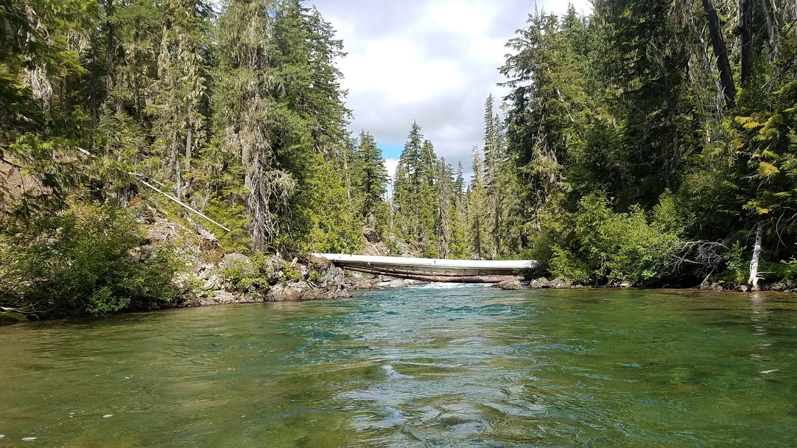
We passed parts of the Sunshine Coast Trail that clung to the side of the steep coastal mountains, and now knew why there were 22,000’ of elevation gain…. It was rugged and achingly beautiful, and it was obvious that there wasn’t much flat ground on these mountains.
We finally drove into Powell River about 30 minutes later, and found Nemo’s friend Courtney’s place. Turns out Courtney lives a short walk from the trail! We figured we’d walk into her place on the evening of day 2, and could leave our resupply with her. So fantastic!
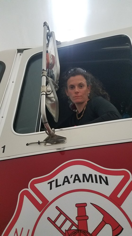
The rest of the day the two old friends caught up, we packed up our food, bought some last minute items, wolfed down an excellent fish dinner at her friend’s food truck, and walked the beach at nearby Tee sho som. Courtney worked as a volunteer firefighter in the community and also taught preschool there. We visited the firehouse and Nemo explored another career path.

We pitched our tent in her yard and before going to sleep had a bear walk through the yard. Hello nature!! We would need to be careful of bears on this trip, but it is prime berry season, so we hope the main tenants of this peninsula will be otherwise occupied and not interested in some dirty smelly she-hikers.
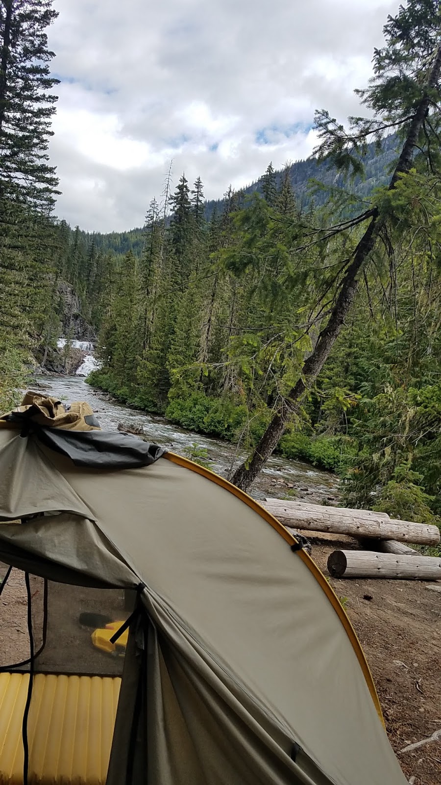
Tomorrow, the trail.