Oregon Desert Trail (1st Section Hike): Day 4 – 23.5 miles (84.4 total)

My legs are shot.

image

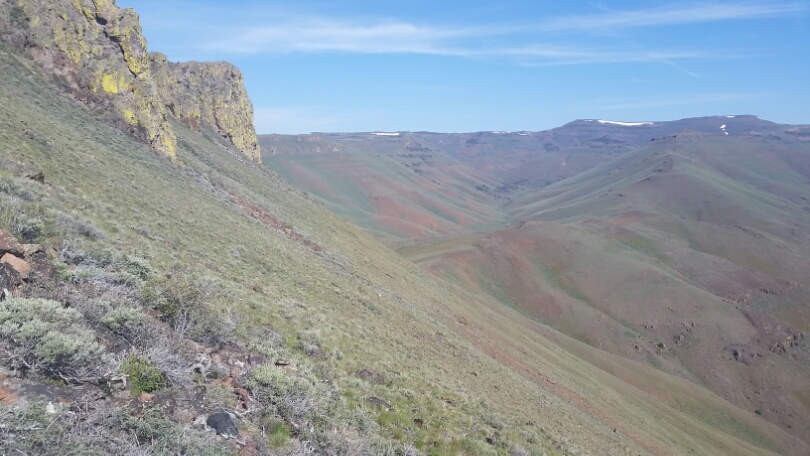
That's what I'm climbing this afternoon

I woke up early again, but stayed in my sleeping bag until the sun hit me. Most of the day was on old dirt roads, dipping in and out of the swells of the Trout Creek Mountains. I saw with irony where I toiled up to climb into the mountains what seemed like a short distance away. And I can see the Steens. And they are snowy. I’m really not sure what kind of conditions I’ll find in the snow. We got fresh snow out here last week, but the weather has cleared since Friday, and should be clear and warm for the next week…so it could conslidate some, and be like the PCT snow I hiked in the Sierra Mountains 10 years ago, or it could be fresh and slidey like on the CDT in Colorado last year. Regardless I’ll have to wait and see. It will be a brutal climb from the Alvord Desert 4,500 feet below the crest of the mountain at 9,500. In 25 miles. It just all depends on the snow. At least I’ll have a soak at Alvord Hot Springs before I head up.

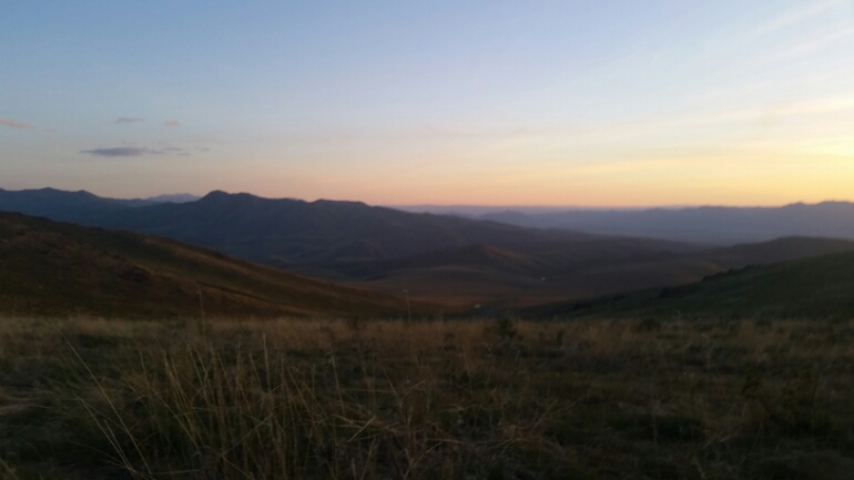
Lots to do before the Steens though, like climb into the Pueblo Mountains via what is supposed to be a really brushy slog. We’ll see if it’s any different going up than coming down. More climbing! But really, that’s what it’s all about. We are linking mountain ranges with some hot valley walking in between, but it’s vast out here. There are plenty of mountains out here. I’m looking into Nevada right now thinking I want to go hike in some of those mountains.
image

Nevada

But back to the hike today. It was another pleasent morning, every water source was flowing or there, but I could have choosen better. I waited before a 10ish mile dry stretch to fill up at Chicken Spring, where my choice was beteen muddy tank water, or skuzzy moss/floaty water. I went with the floaty water and made the mistake of not prefiltering the first bit, immediately the flow was slower. I took off my zip tee and made a pre-filter for the water into my coffee cup. There were a lot of living things in that water!

I climbed higher in the Trout Creeks until there were patches of snow. My legs are just aching. I know they are being destroyed each day, and each day I ask a little more. I really do rememer what it’s like to charge up a mountain and not break a sweat, but you can’t get there without spending some time here, in the ache phase.

Ok, more walking, down to Trout Creek and some lovely aspen, around and through some more aspen, and I find myself at the start of the descent to No Name Spring, and the start of the next section which will take me by Denio, NV – a trail town that’s probably just a post office. Then, into the Peublos!
Oregon Desert Trail (1st Section Hike): Day 3 – 20 miles (60.9 miles)

No wonder I have already almost fallen asleep. In the first half of the day I climbed over 5,000 feet to meet back up with the ODT on top of the Trout Creek Mountains. Tired.

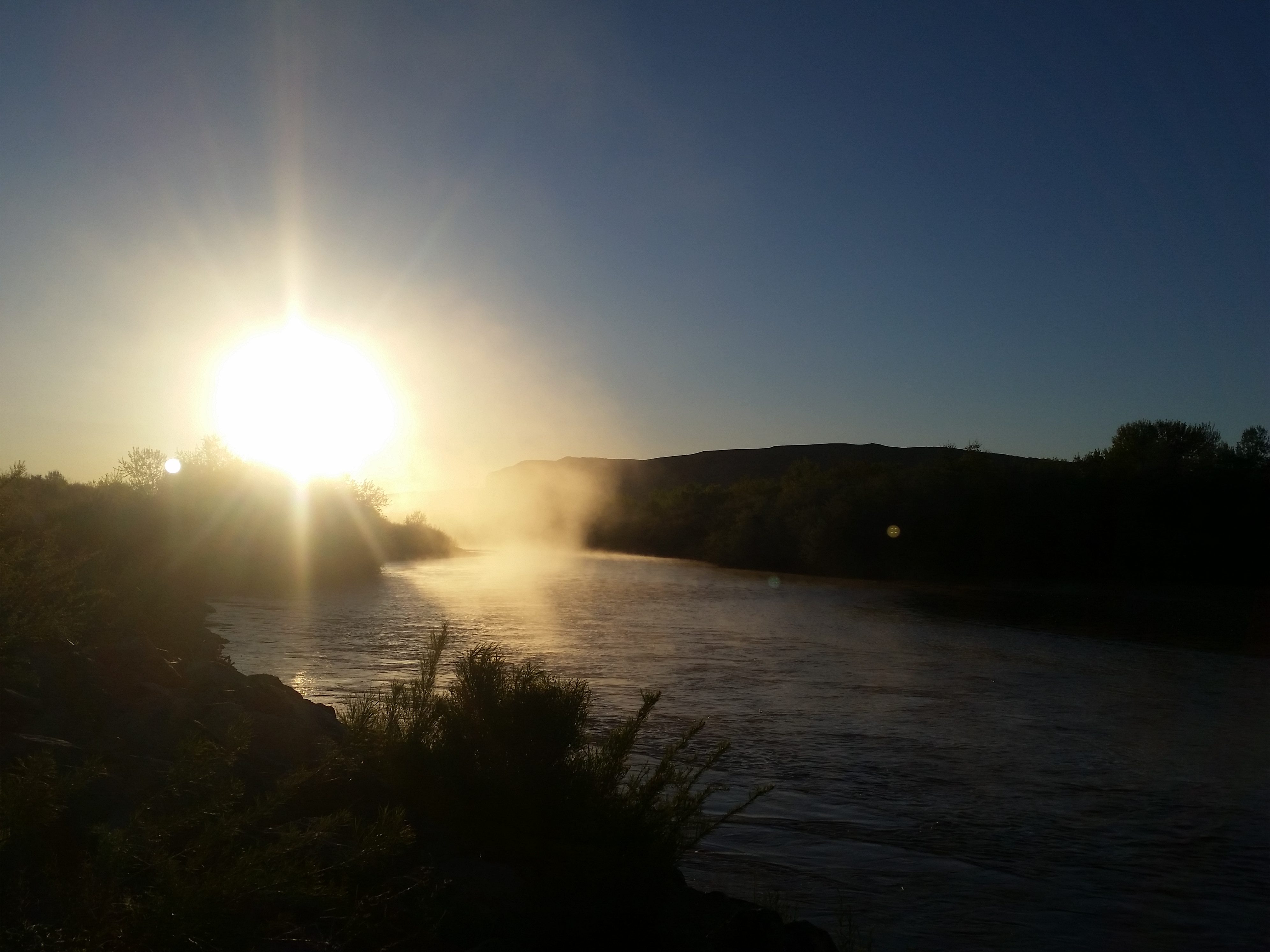
I fell asleep early yesterday and as a result woke about 3am this morning feeling rested. Hmm, a little early, so I laid back down until 4am when I could see a hint of dawn coming. I was walking before the sun popped up, and fortunately, I would need those extra hours of sunshine to get myself up in the mountains.

image

Good morning

The hiking continued for a few miles on the well maintained dirt road before it was time for me to leave the security of the road and start climbing cross country. There were no trees, and the cross country was pretty easy since there was’t much sagebrush. I had to navigate over and around rock outcroppings, each time thinking I’ve made good progress, only to find I had more to climb and thousands of feet left to climb. I took semi-frequent breaks and continued climbing. Finally almost to the top of it all I took a long lunch break under a stand of trees that had escaped being burned up by a big fire that whipped through here a few years ago. Then for the final push up to the top…and whew, there is a road that runs the length of these mountains, a road on a flat top, almost like a mesa. It reminded me of the CDT last year, it could have easily been in Idaho or Montana.

image

Once I connected my alternate back up to the trail I took a nice long break. The next few miles would float up on top of the world.

Camp in tucked cowboy style away in some sagebrush. Tired.

Oregon Desert Trail (1st Section Hike): Day 2 – 20 miles (40.9)

I slept better last night, but my desire to camp perched on a cliff meant a windy night. The tarp flapped, flapped away. Still worth it.

I had looked up the weather, and it was forcasted to be a clear, dry week! I really am lucking out with the weather. As I wound my way down the cliffs to the open range land below I had a slight breeze, and the temps were quite pleasent. I was a long dirt road walk into town, but in those moments I like to pull out a podcast and give my brain something to chew on. Before I knew it I was in town.

image

Coming out of the mountains

I went to the Ideal Market to retreive my box and get a few suppies, then headed over to the Say When Casino to have lunch at the cafe. A fried chicken sandwich and slice of apple pie later, I picked up my things and headed over to a picnic table I had seen down the street at the Library.

The library isn’t open on Fridays, but the table was shaded, there appeared to be a plug so I could charge the electronics, and a spigot on the front of the building was on. Score!

image

I spent some time repacking and reshuffling, did a little reading, a little laying around on the grass, and finally about 2:30 decided to head out. I had hiked 10 miles this morning, and I would be happy with another 5-10. It was another road walk out of town, but it was a treat to be walking towards the mountains and wondering what my “alternate” route would be like. Already this side of the valley seemed dryer. I have 5 days of food and 5 liters of water…all that adds up to a HEAVY pack, and it looked like a lot of the next 20 miles would be climbing up into the Trout Creek mountains. So worth it.

I made my way up into the foot hills, and found a spot tucked into a sagebrush ravine. There are a few cars about, I saw a sign on my way in about rock hounding…maybe I’ll find a rare and beautiful stone while I am out here!

image

My legs are aching. The first week or two of a long hike there is always some pain…it’s just that since I’m only doing 300 miles I’ll be done just as my body is getting used to it.

Oregon Desert Trail (1st Section Hike): Day 1 – 20.9 miles

Well, starting off the hike with some miles! Sometimes I forget that winter makes my feet soft, but I think I did pretty good today.

I woke up when the sun just started over the side of the canyon. Mike was up already and had made the group coffee. Very nice way to start the day! We had a campfire and the group ate their breakfast around the ring, talking about the day. Soon I was packed up and the group saw me off. First up was to cross West Little Owyhee, which we had driven over last night, so I had my chacos on and splashed through the water while the others waved goodbye.

image

The morning was clear and I enjoyed the easy walking on a variety of roads. The way dipped in and out of little canyons, and everything had water. There was much much more water than was referenced on the ODT maps. With all this water were wildflowers. I had really hit this section at the perfect time.

image

Soon I started some cross country sections, and while the navigation was pretty straight forward, the sagebrush and rocks everywhere made for some deliberate walking. To not pay attention would be to twist an ankle or fall, which I only managed to do once today.

image

I didn’t really pay attention to my pace, but stopped when I was tired for breaks. I can feel the ache of a first long day of a hike, plus I didn’t sleep well last night.

image

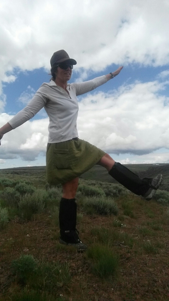
There's ticks! So the long gaiters go on.

Regardless I enjoyed the day, and marveled that there was still snow in the Little West Owyhee canyon. Beautiful!

image

I started on an alternate that will take me right into McDermitt, and found the perfect perch on the side of a series of cliffs. One of my top campsites for sure.

image

Oregon Desert Trail Day 0: 8ish hours of driving

image

Traffic jam

I woke early. It was time to head to the trail! Out the door by 7am, I first drove from Bend to Frenchglen to drop off one of my resupply packages at the Steens Mountain Resort where I had rented a cabin in just about 2 weeks time. I had been in touch with Debbie there, and she was very willing to help out and she will be a great resource for hikers to come. The Frenchglen Hotel is a popular place to stay, and serves great meals, but I had been too late in calling them about availability, I’m hoping I’ll be able to have a meal there, but those get reserved fast too!

Next I drove to Fields, which is a one-stop shop kind of place, and unfortunately their rooms had been booked too, but Sandy who owns the store is letting me drop off a resupply box there. I could have completely resupplied from the store, and they have a grill to I plan on visiting when I hike back through. I did get one of their famous milkshakes though.

image

The snowy Steens

Next up was McDermitt, which lies just over the state border in Nevada. I went to the Ideal Market, really the only game in town, and had a good chat with Ken and Deva who own the place. Ken even remembered Sage, the first ODT hiker, from when she hiked through 3 years ago. VERY friendly folks and more than willing to help hikers out.

It was at the ideal market that I met up with the ONDA crew. I was driving a work truck out to meet up with a volunteer crew that would be heading to the Little Owyhee for a few days of inventoring, so I would be able to leave the truck with them for someone to drive back to Bend after the weekend, while I hike out tomorrow.

It’s a real treat to get to hang out with these folks tonight, in fact I met Pace again, a PCT thru-hiker I had met in February at an ALDHA-WEST hiking event in Cascade Locks. Small world that he is on the ONDA trip! Lots of questions about the hike and the route, and we all sat around a fire enjoying the dry evening. It has been a very wet spring, in fact there are still patches of snow out here, and it literally snowed over most of this area just last week. As fortune will have it, the temps look to be warming and the skies clearing, at least for the next week. I’m so excited to be out here, and will be hiking tomorrow!

image

Camp

Go’in Hiking

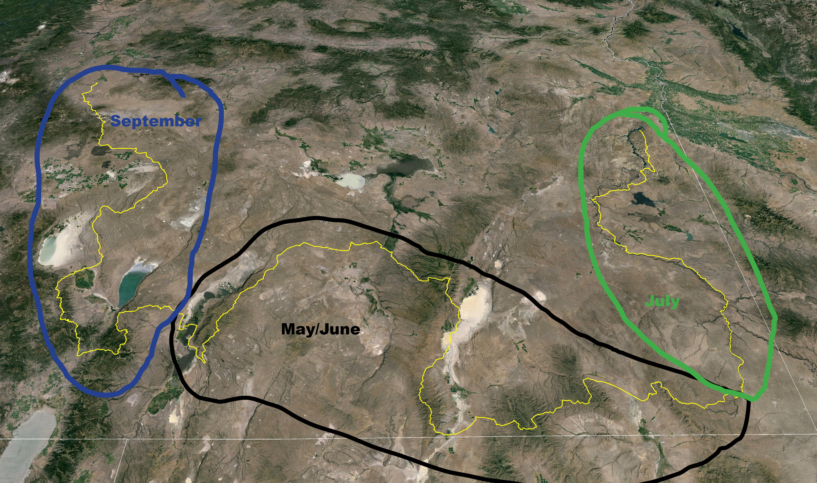
I’ve been immersed in working on the Oregon Desert Trail for about six months now, and it’s finally time to head out and hike! Starting next week I’ll be section hiking the trail in three chunks.

300miles

First up is a 300 mile section from Anderson Crossing at the Little West Owyhee River to Plush, which will take me over the Trout Creek and Pueblo Mountains, to the Alvord Desert and the Steens Mountain (there will be snow! Not San Juan Mountains snow, but snow!), through Frenchglen to end at the base of Hart Mountain at Plush.  I’m taking a little over 2 weeks to hike this section and will be investigating a few alternate routes along the way, and of course taking inventory of water sources…and I’ll get to spend my birthday hiking! Turning 39 shouldn’t be so bad, right?

In July I’ll be hiking/packrafting as much of the Owyhee River as I can (might be bloody hot, that’s why I want to stick to the water…still may be too hot!), and in September will hike the first 300 miles of the route from Bend back to Plush.
I’ll be writing daily and will post as much as my cell service and data will allow along the way.
Much thanks to the companies supporting me this year including Six Moon Designs, Oboz Footwear, TOAKS, Backpackers Pantry and Gerber Knives, and of course ONDA which made it all happen!! It’s my job. Still pinching myself.
Thanks for coming on the adventure!

Where am I?

20160503_064949

I feel like I’ve woken up from a deep sleep and don’t know quite where I am.

20160506_140956

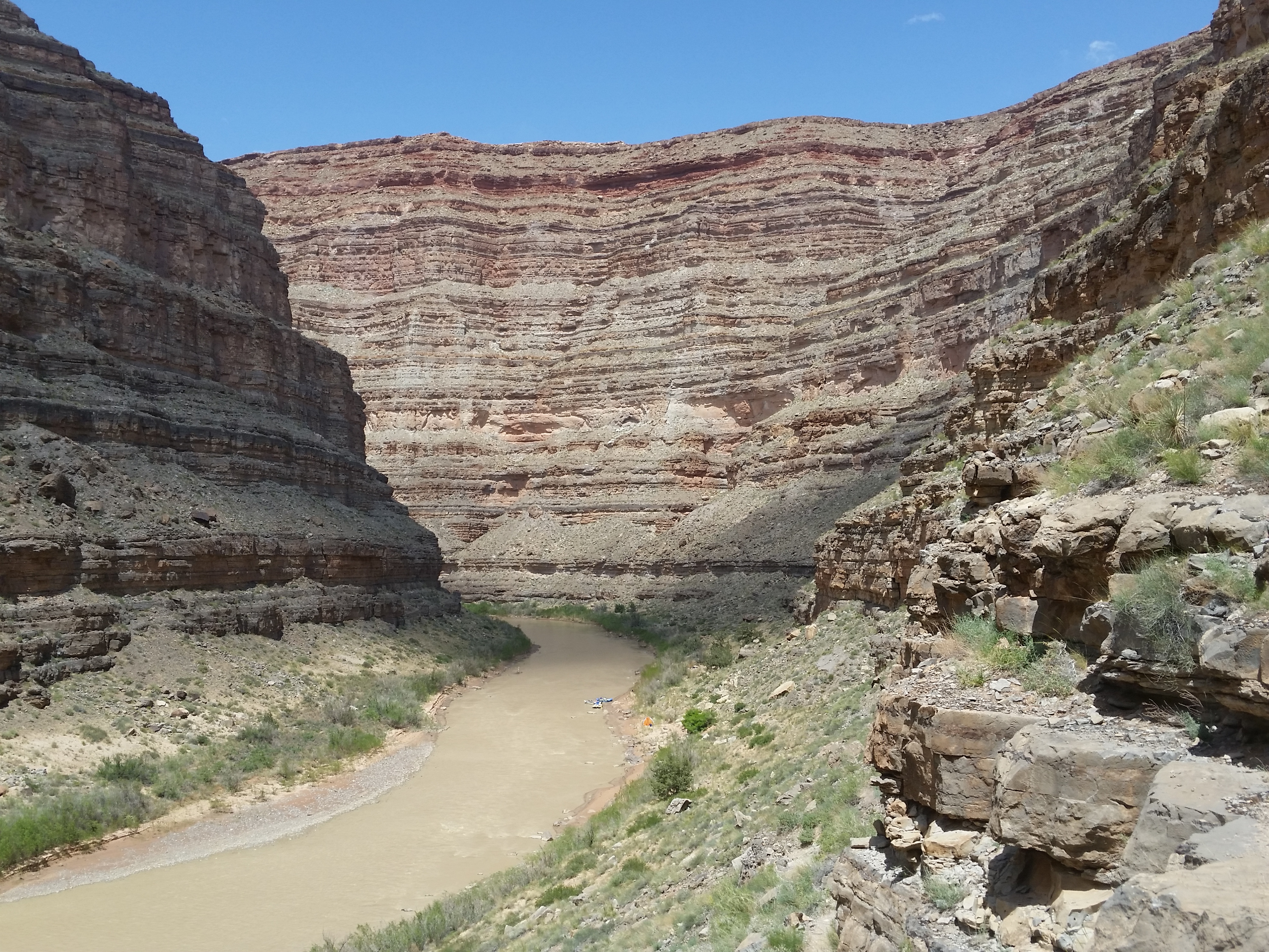
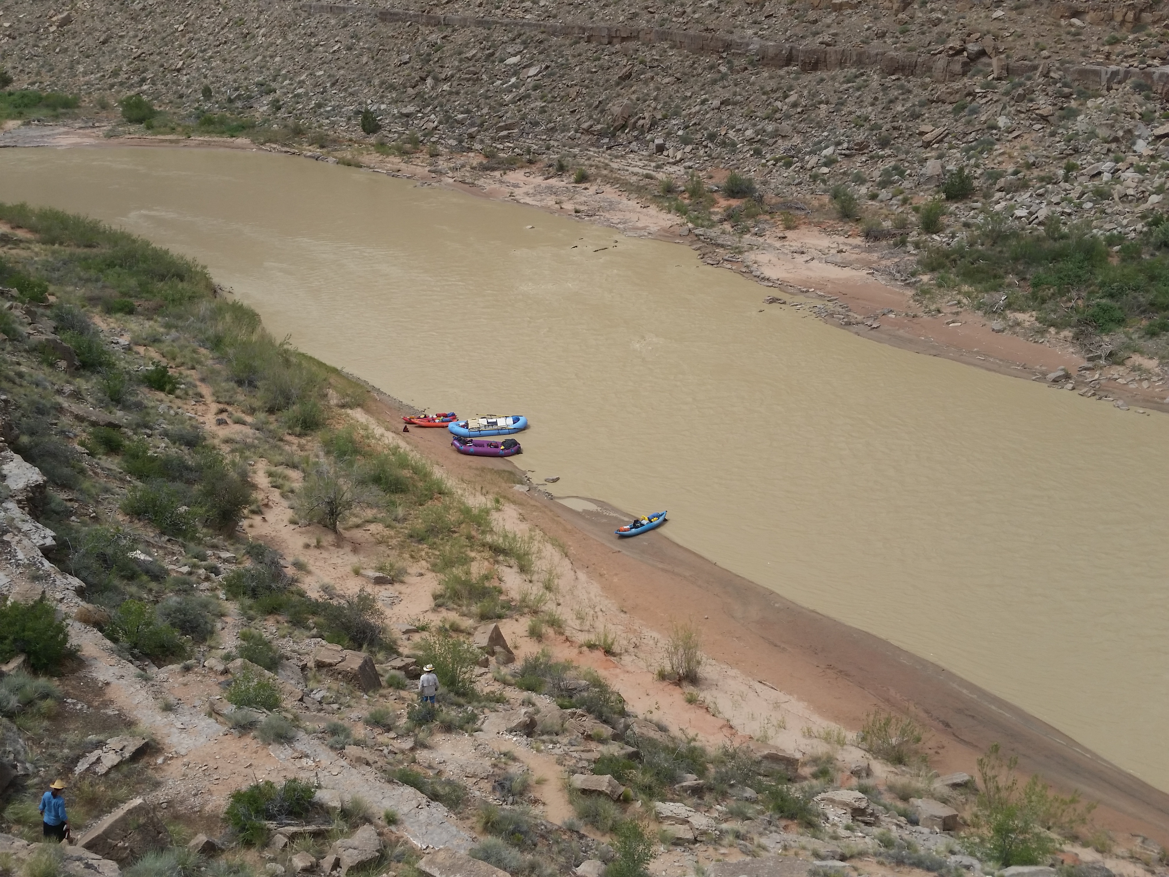
Kirk and I spent almost 2 weeks in Utah, and a solid 7 days rafting the San Juan River for a level of immersion I can’t remember having in a long time.

20160505_141102

It was 7 gluttonous days of more food than we could eat, more beer than we could drink, and more red rock cliffs than the eye could take in.

20160430_193712

And what set this apart from my 5 month CDT adventure last year was the total disengagement. No phone, no blogging, no route finding, no food stress. I slept better and deeper last week than I can ever remember. It was a float of body and mind…the current pulling our boats and thoughts along, drifting from eddy to eddy.

20160507_175305

When we got back to Bend I couldn’t remember which way the door lock worked; which light switch was which. Kirk said, “I forgot how the house works.” We were in so deep the past few weeks that it feels like I am seeing home with fresh eyes.


CDT Kickoff in Silver City

I went back to where it all started last year. The Continental Divide Trail Kickoff in Silver City, New Mexico.

20160414_064823

I printed some hikertrash to wear for the weekend.

20160416_074702

and set up my booth in the Big Ditch for the vendor fair on Saturday.

20160415_192404

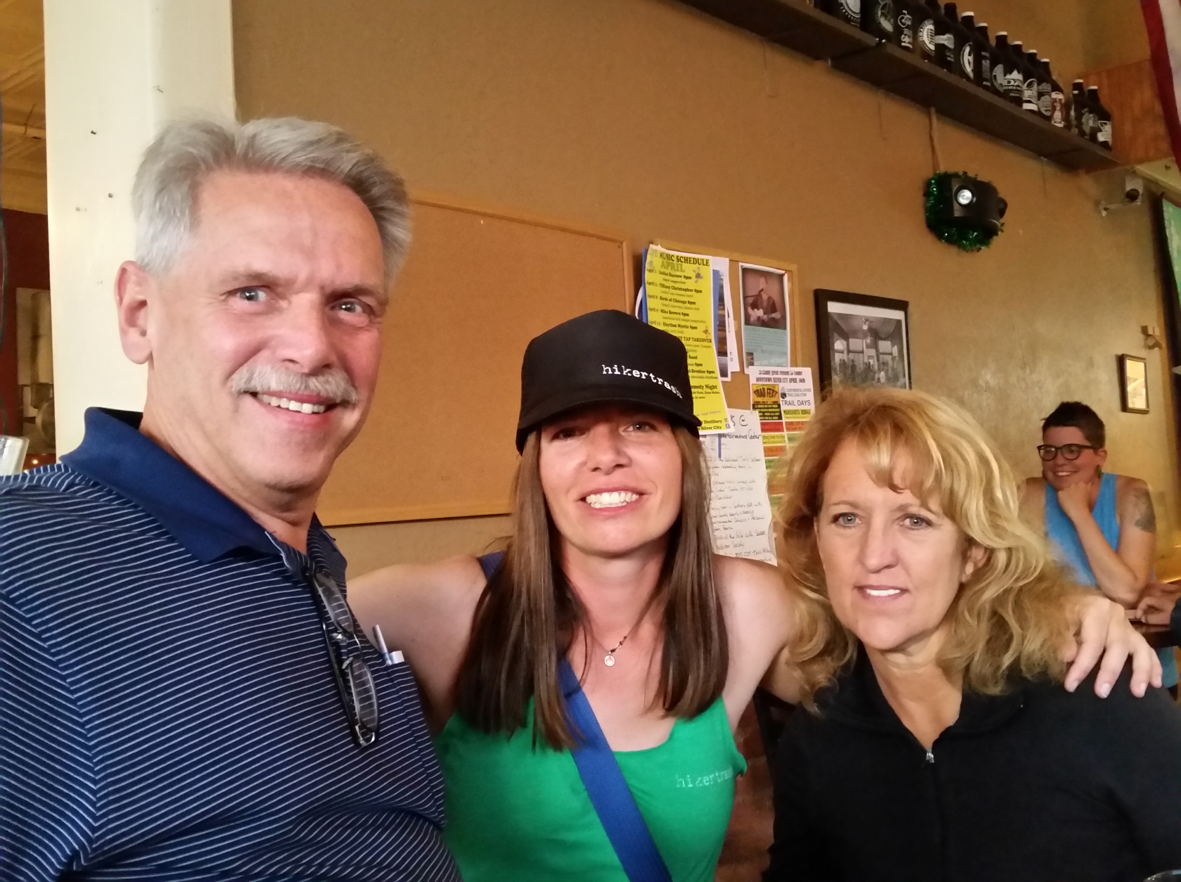
I met the Reynolds, some blog readers of mine last year!

20160417_110716

And went on a hike with some of the folks from Silver City I met on the same hike last year.

20160417_113218

It was nice to spend a few days with Allgood who started his CDT hike the next day, and meet Julie from TOAKS, and Spirit, who was also setting off on her thru-hike.

img_4505

I passed on the CDTC Trail Ambassador torch (or hiking pole) to Allgood.

20160418_065535

And caught up with some hiking friends from last year, like Race.

It was a real pleasure to attend the event, get some closure on my thru-hike, and reflect on the challenges and successes of the hike last year.

CDT, it’s been real!