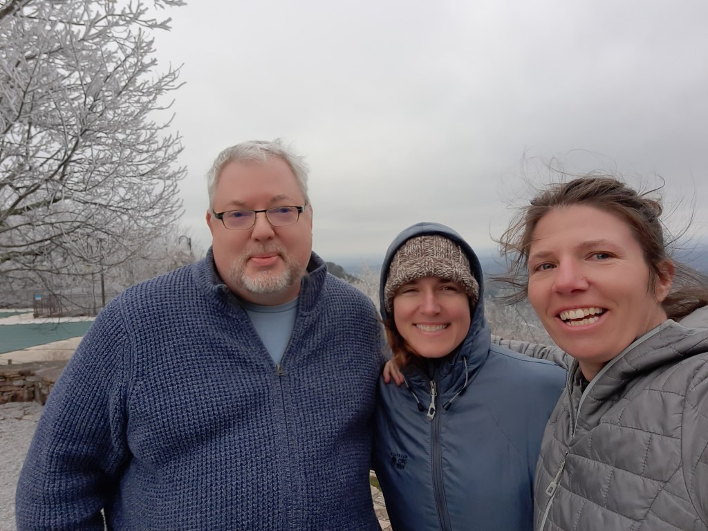
I woke up about midnight in excruciating pain. My neck and shoulders were on fire, and I could barely move without setting off waves of muscle spasm. Imagine if this was happening in my tent, 10 miles from the nearest out.
I couldn’t.
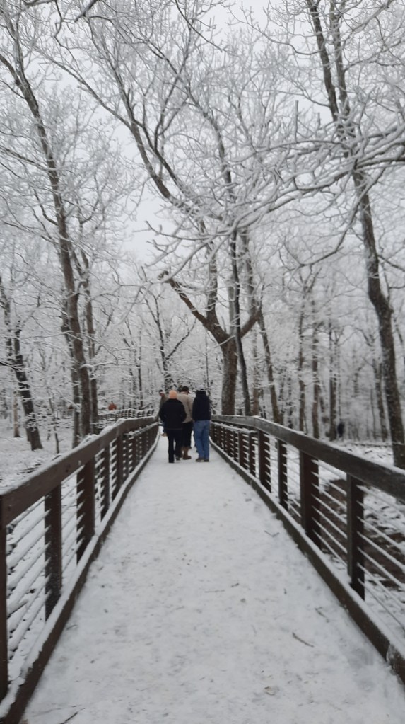
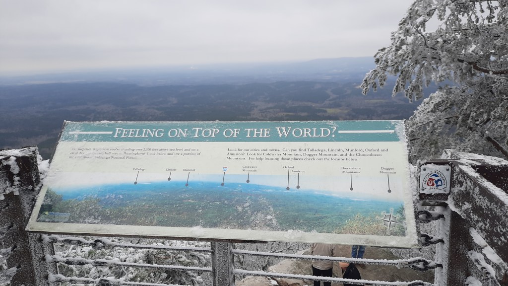
This was the reason I wasn’t out hiking this October. I would not be watching the colors slowly change in the trees as the trail tread gradually disappeared under splashes of gold, red, orange, yellow, and maroon. This was the reason I had to distract myself from the huge gaping hole left in the wake of what I love to do more than anything and can’t do…so much so that I designed my whole career around it…what was I going to do if I wasn’t thru-hiking?
The answer is obviously to try and fix the body. But that will require rest and very little movement for the near future…something I’m not so good at.
My neck and shoulders have been painful for two weeks now, and I think that pain was triggered by a rib injury that I sustained almost a month ago now. Several trips to urgent care and lots of epsom salt baths later and now I’m trying the chiropractic route. Last night was probably the most pain I’ve been in this whole time, but after the first two adjustments I finally feel like there is progress in my quest to return to backpacking condition. And yoga! I haven’t been able to do yoga for a month now, or much of anything else. I’m turning into jello with every passing day. How does anyone stand the inactivity?
If I had been hiking the Pinhoti right now, where would I be? Lets see. I would have started walking the Sunday after Pinhoti Fest ended…that was a little over a week ago now, and at a 15 mpd pace, I would have hiked about 135 miles.
Instead of making my first cup of coffee in the zero-dark hours on trail, hunkered in my sleeping bag, trying not to spill it all over myself as I start writing this blog on my phone, I am in front of my laptop in my office at home, drinking coffee through a straw. It hurts too much to bend my neck to sip, so I have to bring the coffee to me.
This not-hiking is agony, and I have weeks of it ahead of me. I am not working during this time; my brain needed a good long walk as much as my body did. Walking is what feeds it with new ideas, hiking causes it to play parkour with ponderings and musings. I need to give this hardworking brain of mine a rest too, so I am going to play a little game with myself while I heal. I’m going to give myself a virtual hike along the Oregon Coast Trail.
Wait, the Oregon Coast Trail? Yes, well, after I had pushed my departure off for the Pinhoti Trail for a second time, I stewed in self-pity for a few days before glomming onto the idea that I could rest another week and still go hiking. The Oregon Coast trail was close, had plenty of towns (outs) to bail if my body couldn’t take it, and I could talk a lot about real-time trail issues our long trails in Oregon are facing (a la Oregon Trails Coalition ).
I could even take public transportation! Walk out my front door, hop on a bus, then another, and arrive in Astoria. From there I could walk as far as my body would let me, and bus back home from wherever I made it to on the coast. A true masterpiece in connectivity. And talk about connectivity! The Oregon Coast Trail ties into other trails that are included in the Oregon Signature Trails project. There’s the Salmonberry Trail , a work in progress that will connect Portland with the coast, and potentially share some tread with the Oregon Coast Trail, and also the Corvallis to Sea Trail …the route Amber and I walked three years ago to its western terminus at Ona Beach. I’d walk right past it!
Then there are all the bazillion times I’ve been to the coast in the 20 years I’ve lived in Oregon. The first time I went to Beverly Beach with some new friends, we whipped ropes of seaweed like 13-year olds. Then there was the time Cindy and went hiking for New Years, and some hoodlums shot a bullet into our rental car. Or the time I taught a light-weight backpacking course at Portland Community Collage and we overnighted on the coast.
With a virtual hike of the trail, I could imagine and research what I would be experiencing in real time. What would that look like? What would I see and learn about the area? Where does the trail go, and why? What are the issues facing the Oregon Coast Trail and the coast itself? For the rest of my convalescing time, I’ll take myself on a virtual journey and share it with you like I usually do in my daily blog. BUT since I’m at home and love maps and multi-media storytelling, I’m going to make a story map of my virtual hike so you all can learn alongside me, in real time.
Each day I’ll “hike” my miles, and the next day will keep up my morning writing routine with you here. I’ll cover 400ish miles, create a story map, and share it with you.
Ok, lets go. (click below to start the journey- This story map is best viewed on a desktop, laptop, or tablet.)


 Mountainsmith held a happy hour for us on Thursday where proceeds from these sweet beer coolers went to the CDTC, and we had A LOT of fun slinging this on the floor of the show (POD was our hot ticket).