Tahoe Rim Trail: Day 4 – 5 miles – 63.3 miles total

I woke up, still alive!

Not trying to be melodramatic here, but that was definitely the worst night I’ve ever had on trail. Much worse than when I set myself on fire on the CDT.

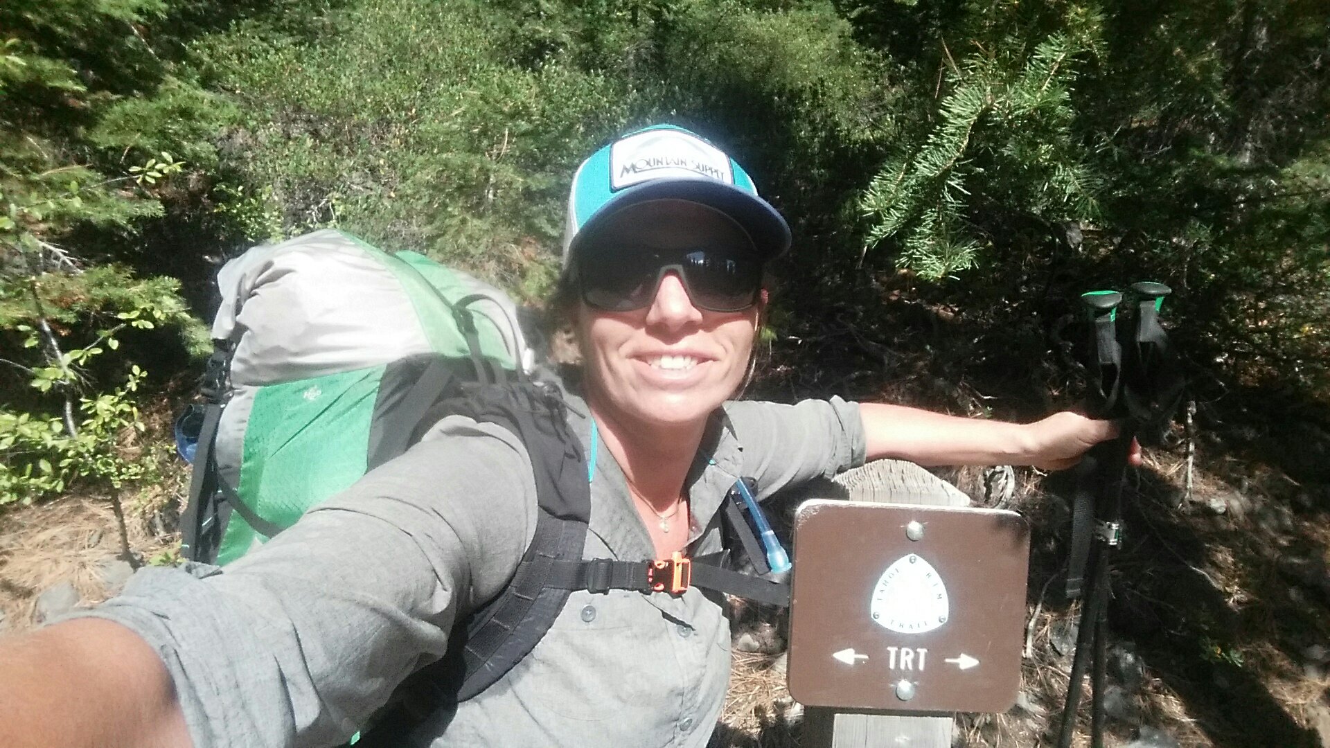
I was determined to take the shortest route out, which was 5 miles on the PCT instead of the TRT. I made coffee, dug out my stuff from the frozen ground under the snow, and got myself ready.

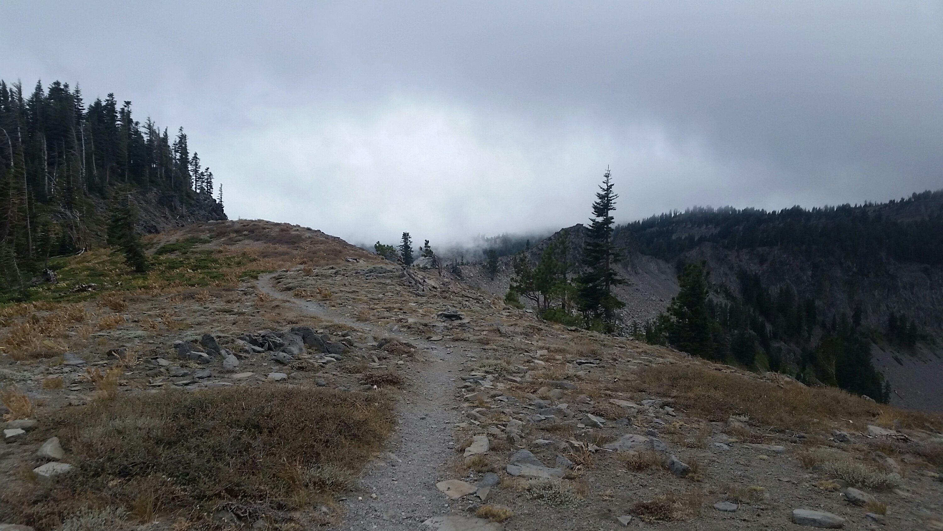
It wasn’t bad! The sky was blue, and snow is much easier to deal with than rain. Snow, I love snow! My shoes were soaking wet, but I had my trusty gortex socks to keep my feet dry.

I hiked. There were no other footprints and I wondered what happen to those other hikers. At one point I turned around to see more snow clouds approaching, so then it became a race against the next snow storm.

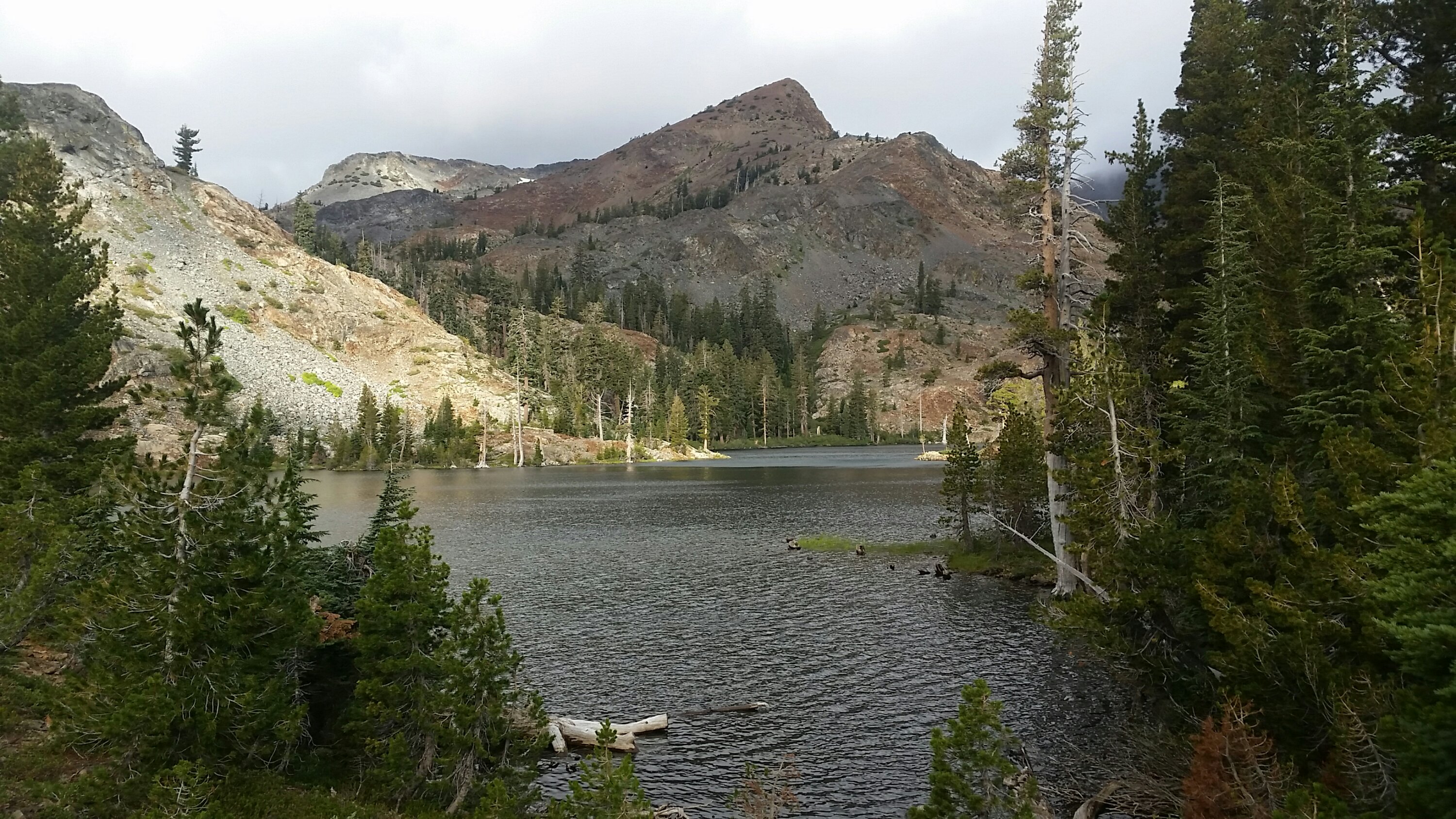
I was on the PCT through beautiful snowy meadows, following another traveler’s prints by this point, a bobcat I think.

A few miles in, the lack of sleep and pure exhaustion got to me. I felt I couldn’t take another step, but had to, I had to get to Carson Pass. Just transcend the pain…

Each rise was not the road. Did they move it? 

Finally I could hear cars, but the blasted trail paralleled it for a while. Oh the cruel, cruel trail.

Finally I was there. But not. The pullout to the ranger station I remembered was a bit further up the road, and I walked the highway shoulder practically in tears.

A car I had desperately tried to flag down had pulled over and I could see they were rearranging the car. I walked over and couldn’t speak for the tears.

I was crying for relief, for the kindness, for the pain of the last 12 hours. At last I was able to communicate, and Mark and Mary from Racine Wisconsin gave me a ride half way back to South Lake Tahoe. My trail angels. Literally.

I composed myself and stood on hwy 89 to hitch again, and after only a few minutes Paula stopped to pick me up. She knew. She had been there herself in the backcountry before and was ever so gracious. So grateful for those kind souls who pick up a half deranged girl from the side of the road.

Paula dropped me off at a cafe where I ate breakfast and the night immediately seemed incredibly far away.

I got a fancy hotel room, stayed in bed all day, realized my shin splint pain was due to a swollen leg, an injury that had occurred at some point….but rest. Time for rest.

Tahoe Rim Trail: Day 3 – 20 miles – 58.6 miles total

The day started out so good.

I slept! At least in spurts. I would roll over and think…I must have been dreaming, that was one hell of a dream…then stare at the stars a while, and drift off again.

The stars were gone by the time morning came…obviously, but the sky clouded up in the early morning hours. I made coffee and enjoyed my open air breakfast. Nothing beats a good cowboy camp.


I thought I would try my shoes this morning as there were miles of granite rocky terrain ahead…and it was manageable! I may just be able to pull this off afterall!

The clouds made for a dramatic morning on the pale granite faces of rock and pocket lakes. I definitely remembered some of this terrain from 11 years ago. By the time I made it to Aloha Lake the wind had picked up and it was easier to keep moving than to lolly gag and enjoy the views.

I felt good and couldn’t help but think about finishing the CDT two years ago today. Ahhh, memories.

By the time I was approaching Echo Lake I was ready for a sit-down lunch. I figured the store was probably closed, but couldn’t help but hope…and wouldn’t you know it, yesterday it was open, today closed. I met knee, another PCT southbounder who was super bummed, but we found relief from the increasing wind on the side of the building and I ate lunch and made a mocha for moral.

I swore off the internet for this hike, but made an exception for weather, and saw there was a 20% chance of showers this afternoon and evening. I could tell from the wind and clouds, but 20% is not much, right? Onward!

The climb up and out was a rocky boulder-field and I definitely remembered this section. It started to drizzle so put on my rain coat and trash bag skirt. My gortex socks made for too tight of a situation on my painful feet, so opted for the socks and luna look. I knew the socks would get wet, but I had a dry pair for the sleeping bag.

Soon it was raining for real and I pulled out my trusty Silver Shadow (Six Moon Designs Umbrella I designed the logo for!).

Then raining harder, then pouring. Straight up pouring.

I contemplated setting up camp early when a few other hikers came up. Soaking wet. They mentioned the rain was supposed to turn to snow…and pushing on to Showers Lake would be a drop in elevation…maybe a good idea?

I surveyed the spongy forest floor and decided to follow their direction and keep hiking.

Oh! Showers Lake! I remember you. I got lost trying to find my way around you.

I was ready to camp. Soaking wet, my umbrella had saved me, but I knew I had minutes before hypothermia would set in. Most of the ground was puddle, so I tried to find a higher spot. I quickly set up camp, just barely staying dry. Only my sleeping bag was dry….the line between security and disaster is so thin.

I managed to start my stove in the driving rain and maker a hot dinner. I kept an eye on the growing puddle outside my tarp with dread.

SHIT.

If it kept raining this hard much longer I would be in the puddle. I would be screwed. Rain to snow to doom.

I finally decided I had to move.

I tried not to freak out, and tried to keep as dry as possible, but that was pretty much impossible.

I found a spot near by, not exactly flat, but farther away from the massive puddles forming everywhere.

But my stuff got wet. My down sleeping bag was wet in spots, damp all over. As soon as I had everything set up again, the rain turned to snow. I was uncontrollably shivering. I knew I would make it, but it would suck. Suck bad.

I was unable to stretch out because of the panicked way I set up again. I could only be in the fetal position. It was agony.

I checked my phone to see if I had reception, and called Kirk to have him talk me down. Then I listened to podcasts to keep my mind off the situation. The very real situation.

About 3:30am, I thought I might be able to sleep so turned off the 3 hour Tim Ferris podcast I was listening to and actually got a few hours of rest.

Tahoe Rim Trail: Day 2 – 22.6 Miles – 38.6 miles total

Insomnia strikes again. It never fails the first few nights out lately. I assume I am getting some kind of rest as I’m usually able to function the next day. I got a few hours right before dawn and woke to a lightening sky and my tarp fallen around me. While I had a money spot last night with the view, it was slight tilted so I kept running into my hiking pole which was keeping it up.

It took me almost 2 hours to get on the trail, I obviously don’t have my routine down yet, but as I will be hiking shorter days I guess it doesn’t really matter.

Right as I was putting my pack on a girl walks by and I immediately knew she was a PCT hiker and not at TRT hiker. Small pack, steady fast pace, business. I start walking and not 20 yards from me is another tent. I had no idea he was there!

The morning is clear and the sky blue. The terrain mellow as the trail enters desolation wilderness. I meet the hiker at a stream. She is Lucky Charm, and has had a hell of a time flipping around, but now she is about 300 miles from finishing…and she got through most of the now closed trail before the fires… I guess that’s why she got her trail name!

The next few hours were fairly mundane in the trees. I wore my Luna sandals all day. Not too bad until the end of the day. Late afternoon I made it to the granite lakes this wilderness is so known for, it’s an incredibly  beautiful area. The rocks started to take their toll on my feet and I started to really feel the miles. I passed a trail crew and thanked them for their work. Not much of this looked familiar from 11 years ago. More lakes, more rocks. This is the area the ranger yesterday told me had problem bears that could open bear canisters and get bear hangs, so I wanted to hike past. The climb up to Dicks pass just about did my feet in. It was quite a panorama up top though. This looked familiar. I think NEMO and I glissaded down this pass.

Up top there were a few other hikers, I kept limping along, trying to keep up my momentum for the rocky 3 mile down hill. Finally I just couldn’t take it anymore and put my shoes on, but with the laces wide open. It seemed to work and give my heals some extra room, but as I was going downhill my toes were jammed in the front…I just can’t win. But 6 more days….hopefully I can limp through it. We thru-hikers are a stubborn bunch!

Finally I saw some flat ground and found a spot for a cowboy camp. Food, bear can away and done. So done. Hope I can sleep. 

Tahoe Rim Trail: Day 1 – 16 miles

A few hikers got together Friday night as we are headed to different trails…it’s fall hiking season! I’m off to the Tahoe Rim Trail, VirGo came down from Portland to start the Oregon Desert Trail, and Treehugger and Blisterfree are off to the Mogollon Rim Trail (one of Blisterfree’s creations).

My drive down from Bend yesterday was fairly uneventful, and got in after dark to find an expensive car camping spot along the lake. In the morning I went to the ranger station and picked up my permit to camp in the Desolation Wilderness, the only spot on the 165 mile trail where you need a permit. It also happens to be part of the PCT!


I decided to start at Tahoe City as there is a big parking area there, and I could resupply near the trail about half way around the lake. Tahoe City also happens to be at lake level, which meant I spent most of the day climbing up. The rim trail stays pretty far away from the lake as there are cities, and roads, and houses…it climbs the mountains around lake Tahoe.

Immediately in the parking lot I saw hikers. I knew I was on a popular thru-hike due to its short distance and spectacular scenery, but I hoped because it was late September that the big rush would be over. Regardless it will be a big change from the routes I have been hiking. I am looking forward to some trail and mindless hiking!

Immediately I started passing and being passed by another solo female hiker. When we chatted on the 2,000’ climb, it turns out last weekend she saw 140 hikers and 40 bikers! Holy #$@=£+%!

There was a wind advisory today, and when I got up over 8,000’ it was cold. I put on all my layers to have a snack. Brrrr. I was also carrying a lot of water as the trail can have long dry stretches, but it turns out I lugged all the water for nothing cause a few seasonal creeks had water. Seems to me they need a databook and water chart for this trail!

My Achilles on both feet had been feeling pinched, which had me a bit worried this soon in the hike. My trusty Oboz were hurting. I spent most of the summer in my Luna Sandals…. a barefoot sandal…so I decided to try those out even though I had a heavy pack (I have a bear canister on this hike…ugg).

Immediately my feet felt better. I need to be careful where I step as there is only about a ¼ inch of footbed, but for the next 5 miles I cruised with no pain. I guess my feet have gotten stronger!

I was back on the PCT at a windy saddle, and enjoyed cruising down in the quiet forest. Quiet that is, except for the howling wind.

Early evening I started to look for a camp spot away from any trees that might fall in the heavy wind, and happened upon the most amazing spot ever about 2,000’ above the lake, I could see heavy dark clouds swirling above Lake Tahoe a few miles away, and the mountains protected me just enough from the wind. Bliss!!!

Trails: Time to Give Back

Summer is most certainly coming to an end in Oregon, and while the days are getting shorter, we are still inundated with smoke from more wildfires than I can count. Oregon is burning, so I’m heading south for an upcoming hike. Stay tuned for more details soon. Blogging will happen, photos will be taken, but I plan to give myself the gift of unplugging from the internets (or 4G) during the hike…posts will come after a short delay.

Even though I haven’t been able to stretch my legs on any long hikes this year, I have been immersed in the land of trail work.

Part of my job as the Oregon Desert Trail Coordinator this year was to lead some trail work trips. It’s so satisfying to maintain trails, especially when they are as overgrown and neglected as some of the ones along the ODT.

But I thought the ODT is a route, not a trail…

Yes, you would be correct, but of the 750 miles (actually current count is 753.5 miles), 11% is along existing trail. These are trails our federal agency partners haven’t been able to work on in many years due to a myriad of reasons, including lack of funding and use. This leads to a vicious cycle of hikers not hiking the trails because they aren’t maintained, and trails aren’t maintained because hikers aren’t hiking them…

SO, we are harnessing the incredible hard working volunteer manpower to make a dent in some of that maintenance (last year over 500 ONDA volunteers contributed almost 10,000 hours to a variety of stewardship projects including riparian restoration and animal monitoring activities, WOW!). A lot of my work last year involved establishing relationships with the four different BLM Districts and two different National Forests that manage land along the Oregon Desert Trail in eastern Oregon, and this year I worked with those partners to develop four trips.

I’m incredibly proud of my volunteers and the work we did. It had been a full 10 years since I led trail crews around Colorado for the Southwest Conservation Corps, but the memories came flooding back as I swung the Pulaski and built berms along the drain dips with my crews. Trailwork!

A few numbers: 45 volunteers came out for 810 hours of work, and we:

• Built 2 miles of new trail in the Oregon Badlands Wilderness, and transformed a .4 mile cross-country section into trail on the ODT. (See photos here)
• Cleared 11 miles of downed trees from the Fremont National Recreation Trail and ODT corridor, and maintained 3 miles of trail. (See photos here)
• Cleared all the downed trees from the Big Indian Gorge Trail in the Steens Mountain Wilderness (by hand), and brushed over 2 miles of heavily overgrown trail. (See photos here)
• Built a .5 mile high water alternate to the Blitzen River Trail out of Page Springs Campground in the Steens Mountain Wilderness. (See photos here)

I will continue with the work in 2018…there is so much to do! Are you interested in joining me on one of the trips? Some are backpacking based, some are car-camping based. We were packed in by a BLM horse team on one trip, and might even provide some chain-saw training opportunities for another…lots to help with. The ONDA stewardship trips get announced in mid February each year, so I’ll keep you posted here on when those go live, I’d love to have you join me on a trip or two!


Disaster Stories

A new podcast, Boldly Went (think The Moth), came to Bend recently and invited a few people to the stage to tell some stories of DISASTER… I shared a harrowing tale of catching myself, the forest, and most of my stuff on fire when I thru-hiked the CDT two years ago. Take a listen and don’t do what I did. (my story starts at minute 14)

Continental Divide Trail Video – Thru-hike 2015 (rough draft. really rough)

I haven’t touched this video project in a year and a half, but who knows when I’ll get to working on it again, so here we go!

Here’s a rough cut of a rough trail.
Epic in so many ways.
CDT, I love you.

And yes, the video ends at 2:11, unless you love the Gorillaz, and then listen to the end of the song.


Continental Divide Trail Movie 2015, part 1 from Renee Patrick on Vimeo.

Idaho Sawtooth Adventure: Day 5 – 1 mile hike, 9 miles packraft

The morning was chilly, and again I woke up on the ground. I have to patch this sleeping pad.


We downed the last of bits of our coffee (weak tasteless coffee at that, but on the flip side we’ve had dark french press the first 3 mornings), and hiked back to where we had cached our boats.

Oooo, that must be a big bear

Ensue bushwack. Getting to the river from the trail was a bit of a willow bashing fest, but we finally made it and transitioned to packraft mode. All gear stored inside the boat, day bag with sunscreen, lunch (in this case one packet of hickory smoked tuna. That’s it. Sucks.), and water.

We launch on a swift little current on a narrow log-congested river, gravely braids of river channels everywhere.

The water was clear and blue and green and it felt like we were flying through the canyon, until we got to logjam, after logjam, after stupid logjam. It was still worth it though. I actually expected more in an un-dammed river in the heart of the Sawtooth Wilderness.

The 4.5 miles of trail turned into 9 miles of river with all the meandering channels, but still worth it.

We were worked by the time we made it back to the car mid-afternoon. We had a short rapidy section about half way, but it was mainly the numerous log jams we had to portage with full boats and careful walking to not impale ourselves on dead trees, or break a leg in a beaver hole. So much fun!! Really!

Idaho Sawtooth Adventure: Day 4 – 10ish miles

It felt like I was sleeping on rock…that’s cause I was. My air beam sleeping pad must have sprung a slow leak, cause I woke up on a lack of air, and it was hard.


We packed up under the granite towers above us, and started down the many switchbacks to Ardeth Lake. It was beautiful and buggy. We walked down down down the thousands of feet we had hike up a few days before. We were down to the last bits of food, carefully rationed out to get us to the car tomorrow afternoon.

Hammocks came out again for a lunch break, and a train of mules and horses passed us. We’ve seen several mule trains on the trail each day, and because there are still a fair amount of downed trees across the trail, the horses and mules have been forging some huge bypasses up and around them. It’s impressive where horses can go off trail without breaking a leg, but also has me a bit pissed off at the destruction they are causing on the side of the trail. Most of the horse packers carry a saw, and clearing some of the trees would only take a short while. Seems to me if they are using the trail so heavily, that they should help out and clear some of the downed trees as they pass by each day. There are fewer and fewer resources for the forest service to maintain trails…as it is most are done by volunteers. I know the folks from the Idaho Trails Association have their hands full.


Back to the trail…we continued on and by mid afternoon we were quite stumbly. The more we dropped in elevation, the warmer it got. In fact it was down right tropical around Fern Falls. We had hit prime wild flower season.

Smith Falls

We stumbled into camp, the same camp as night one, and went down to immerse ourselves in the cool water and wash away the heat.


Relief.