
By the end of the day, I am peak disgusting. The rain means mud, and in addition to my dried sweat-covered mud gear and body, the last few days, I’ve discovered a few patches of poison oak on my legs. I saw a smidgen of poison oak on a river-side bushwack day 2, and here it is popping up now. Perhaps something I’m wearing has some of that poison oil on it? It’s kind of not even worth wondering about it. There’s nothing I can do now. I’ll keep touching that poison (or not… depending on where it’s coming from) until I take these foul clothes off, shower, and have something else to wear. Might as well embrace the disgusting.
The funk doesn’t take away from the hiking, though…in some ways you become fully committed to the experience when it doesn’t matter anymore whether you are sitting on the ground or on your tyvek. The mud has already touched everything. Is this what Pig Pen from Charlie Brown feels like?
Thoughts of that shower, though, and clean dry clothes… When it gets to this point in the hike, a break better be coming up soon, and mine is tomorrow! And by break, I mean the end 😑. For now. There will be more hiking this year, oh yes! But this chapter has come to a close. The chapter where I am handily ego-checked and roughned up a bit, but have the start to powerful legs and the ability to grind for an hour or so (walk up hill without stopping, no matter how steep and long).
I had a successful grind this morning, first thing out of the wet tent. Up 1,000′ in 0.84 miles. Ah yes, just in time to go home and not hike like this again for a month or two.

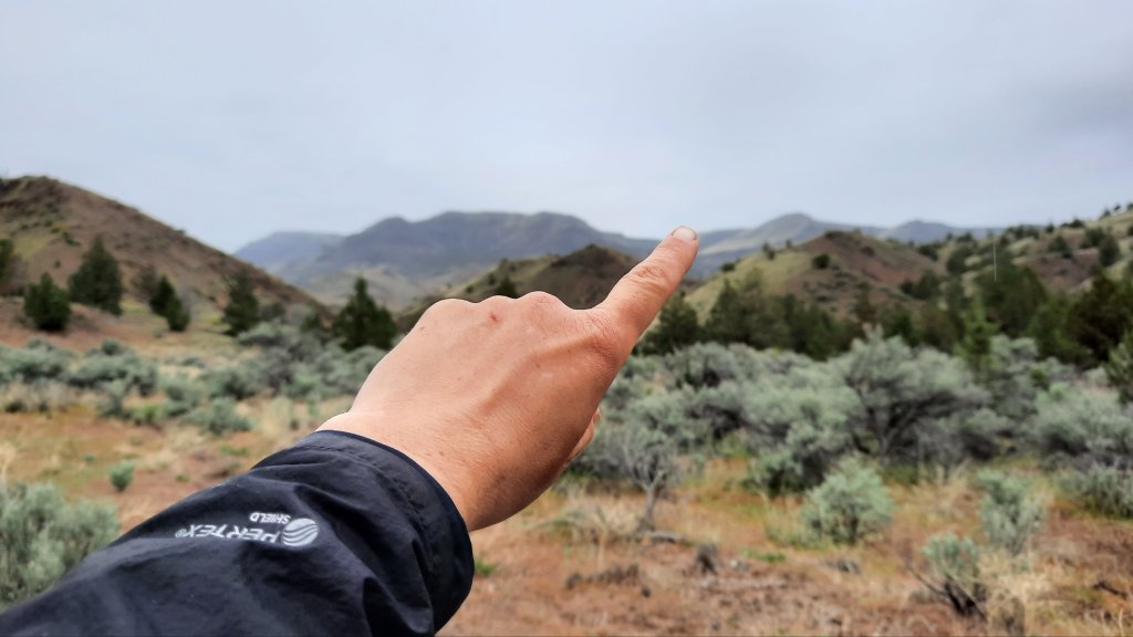
The views were amazing, and the clouds were thick overhead again. I made it off the rocky peak and into the trees of Pat’s Cabin WSA for a morning break. I would have a mellow 4-mile hike down an old road for the next stretch….that kind of hiking is almost a rest itself!
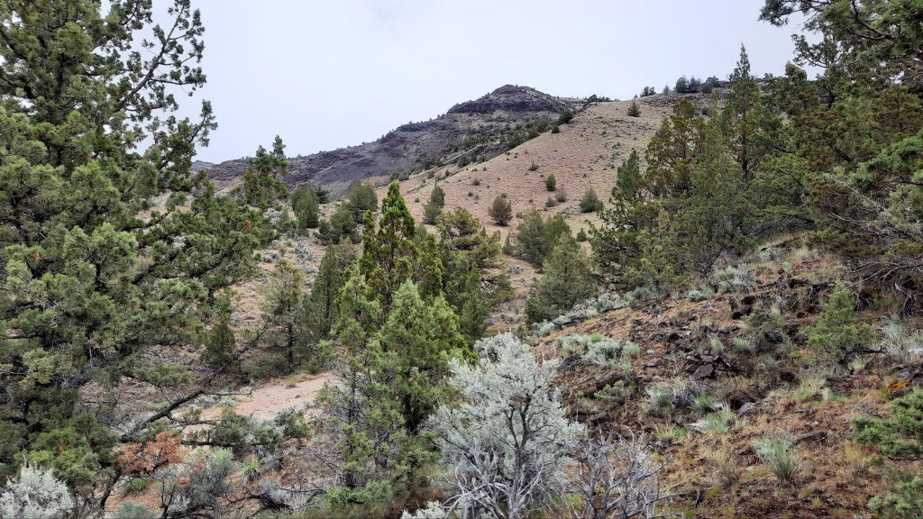
Soon I after I started down the road I saw that this is a big drainage. The road/trail disappeared under flood debris in some areas, and the size of the side canyons ripping out was impressive.

I hunted for the trail when it got washed out, over and over, but it didn’t really matter. The only place to go was downhill, and the flood walking (no water to be seen BTW) was easy, too.
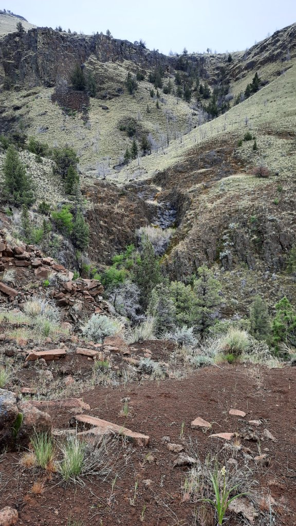
At the bottom, I am faced with yet another obstacle to cross if I am to go forward.

This time, a swollen Bridge Creek. Either moving fast, deep, and narrow, or wide, meandering, and marshy. Neither looked good as I hunted for the place Scott said has boards that cross the creek for “dry feet,” but as you’d expect, those boards are long gone.
I decided I have to do it one more time: inflate the packraft.
This time in the all-day drizzle. I transition to boat phase for the quick, narrow crossing… and am easily across.
I packed up in the rain and started walking along the paved road to my trailhead that climbed 2,000′ up to the flatish expanse of Sutton Mountain.
My secret hope was that someone would pass me on the road walk and ask what I was doing, and then I might have the opportunity to ask if they had any extra snacks. I was just about out of snacks and will be finishing the hike with an empty food bag. I wasn’t starving by any means, but I was interested in any road trip snacks that might be in one of those cars checking out the Painted Hills a short distance away.
Alas, no cars passing meant no snacks, and it was too chilly to doddle today anyway… I had to keep moving to stay warm thanks to the constant wet. I went into a reallll slow grind up the mountain, so slow I didn’t break a sweat.
There is legit trail here with footprints and recent trail work and all! It’s a most excellent hike with running springs on the way up!

At the top, I was in trees, and it took me a while to make it up to the rim of this large fault block mountain. It wasn’t quite as big as the top iconic fault block mountains of the Oregon Desert Trail (Abert Rim at 30 miles long and Steens Mountain at 50 miles long), but Sutton is dramatic. I’d be walking near the rim for about 7 miles to the very top where I’d drop over the edge for my 9-mile walk down to my shower, I mean Mitchell.
But first, I stopped for camp a few miles in on the rim. If I hadn’t been in a cloud, I would have seen the Painted Hills and mountains that stretched on into the horizon to the west.
I was protected from the wind (but there really wasn’t any) by a few juniper trees and spent the next while enjoying the feeling of dry for the first time in hours.
800′ more to the top in the morning.

Good stuff. Impressed you got dry so quickly.
LikeLiked by 1 person
Here’s hoping for enough wind to dry the muddy trails!
Friend, Mike
LikeLiked by 1 person