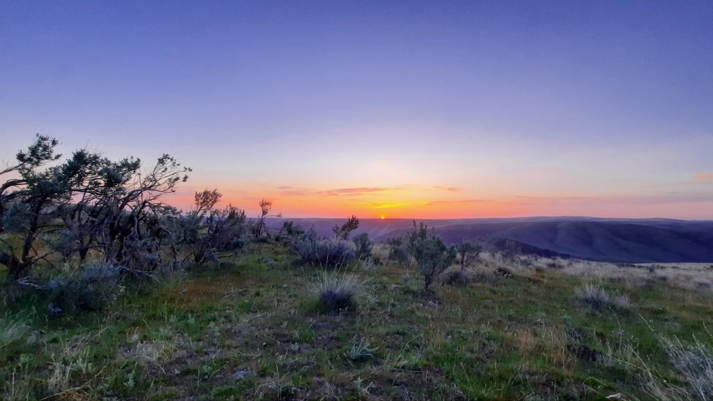
The quiet sunrise didn’t give the secret away: today was going to be HARD.
Instead, I sat blissfully unaware as I drank two cups of coffee and listened to the sounds of the birds waking up and singing their songs.
It’s better not to know anyway.
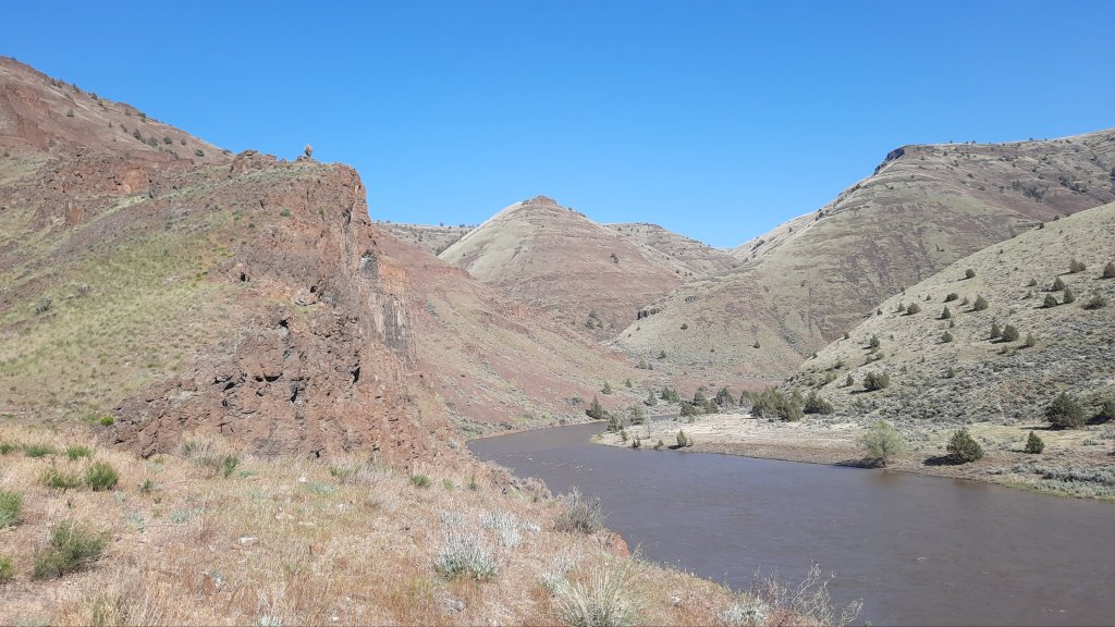
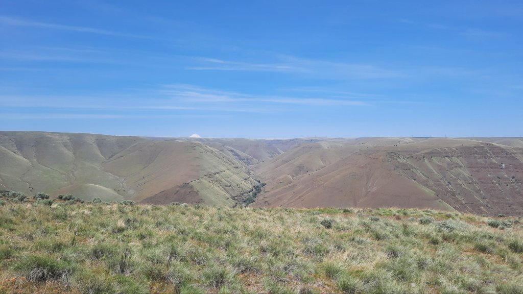
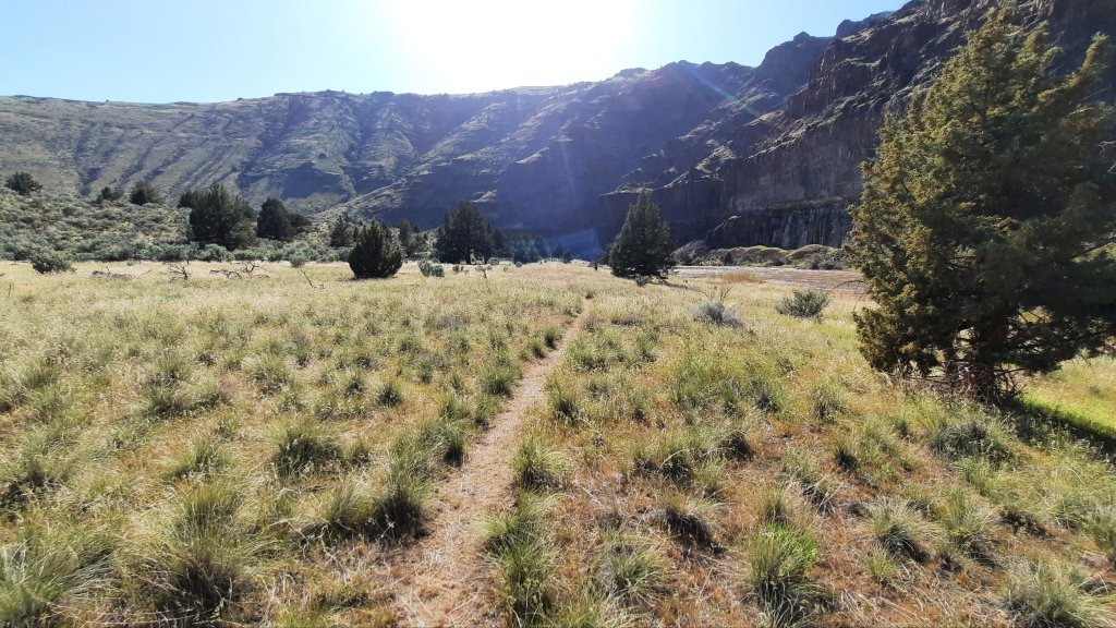
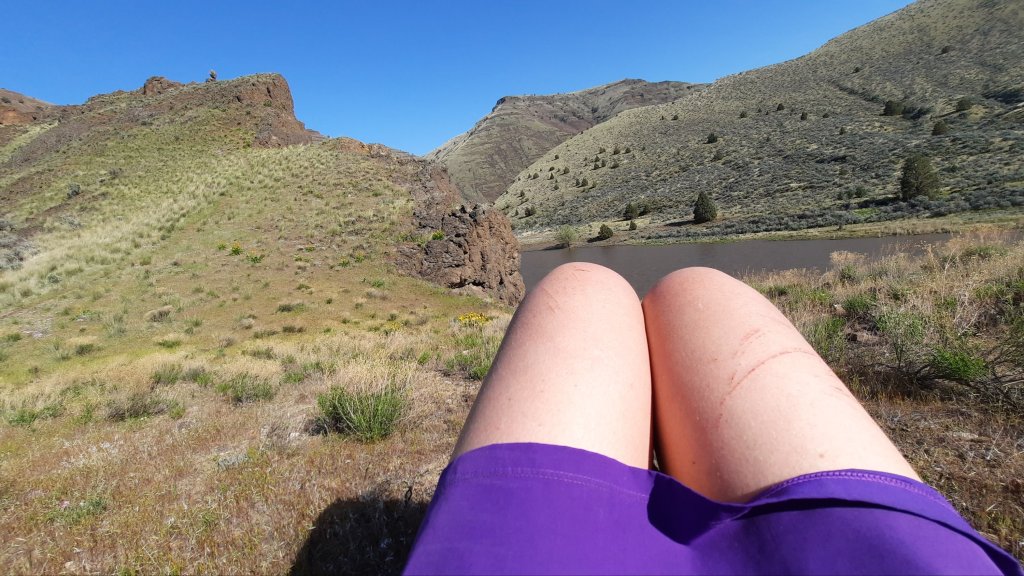
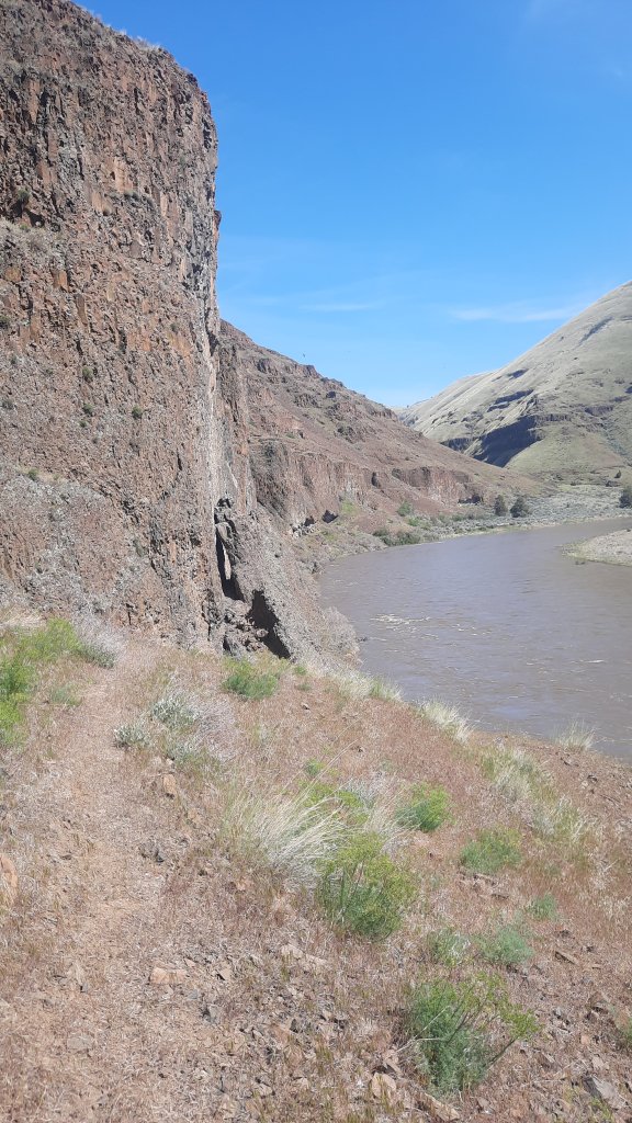
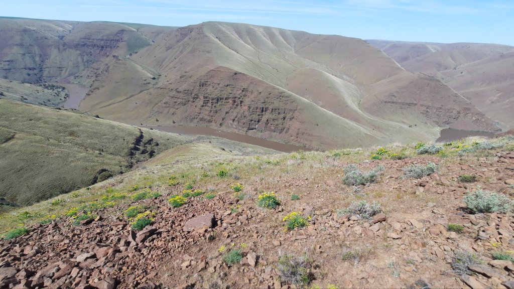
Was it the terrain? Yes, partially. This was going to be a day of knee shaking descents, a 1,400′ climb in a mile, and picking each step very carefully on narrow game trails above the river.
Was it the heat? Today I remembered what hot was. Radiant heat in the 80’s would reflect off the numerous talus fields to cook me from the inside. I had to take afternoon breaks every hour or so where I would just lie in the shade of a giant ponderosa pine (the trees have started!) and try to calm my racing heart.
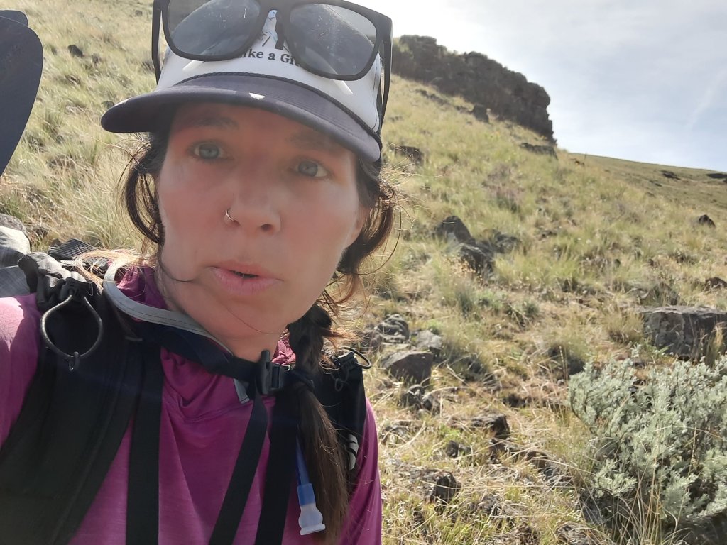
Was it me? I was not route ready, that was sure enough. My feet haven’t hardened yet and are feeling the starts of hot spots. Oh yeah. And I’m 45….does that mean anything?
The reality was I could only go as far as I could go. No use moaning that I wanted to make another eight miles today. It is what it is, and I can certainly stretch my food out if it takes longer for me to get to Clarno and my resupply. I can’t seem to put a dent in my food bag, so I’m not too worried about it.
AND the weather is going to cool 15-20 degrees tomorrow with the possibility of a cloud cover on Monday….hiking in 60 degrees is infinitely easier than cook-your-brains-early-summer-sun. So I might be able to make up some time…and Scott says the second half of the hike is easier.
My age and fitness? Nothing I can do about it now, so might as well try to treat myself well and make the time to do what I want to do out here (enjoy the trip), and move forward again tomorrow.
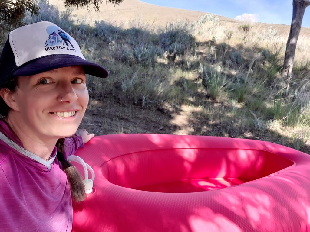
But wait! I didn’t tell you about the first river crossing! I got to the gooseneck about 9am just in time to blow up the boat and have my first break. I had the very light packraft, a tiny usb-powered electric pump, and a carbon paddle that weighed about 3 gummy bears.
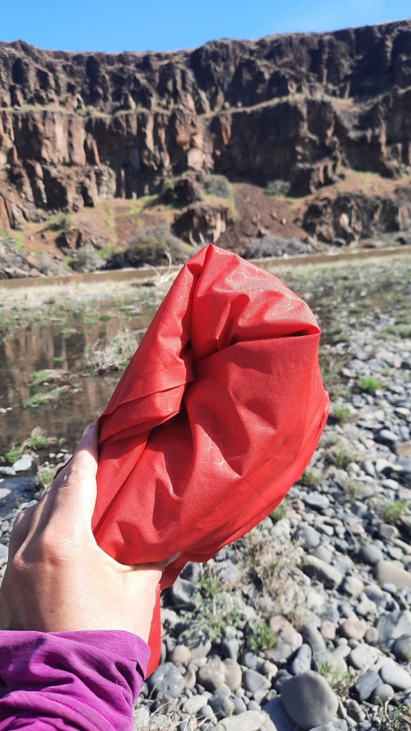
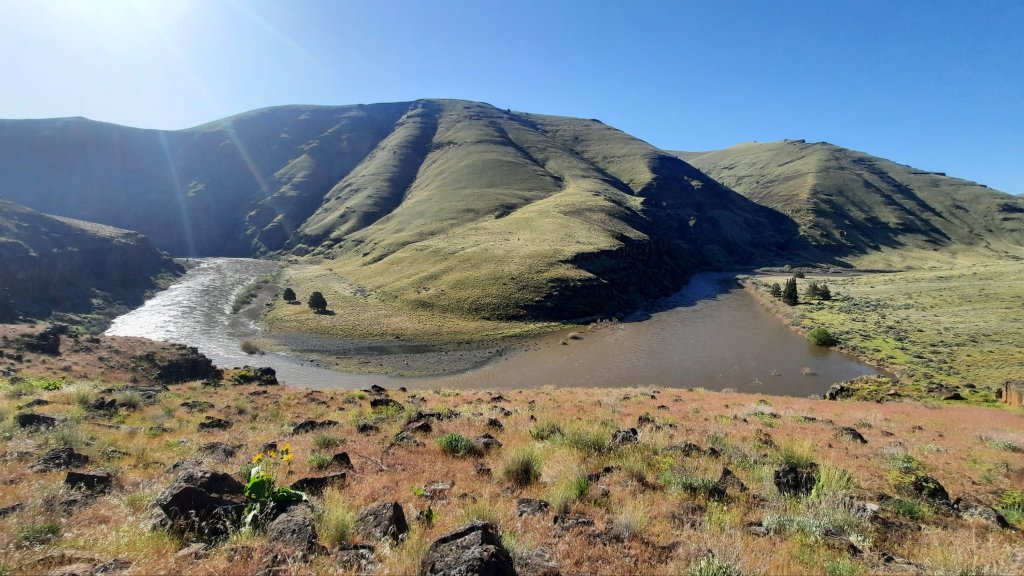
The water was trucking, so I put in a short ways upstream of where I wanted to land so I had a better chance of making it to the other side. There was an alternate Scott had drawn out to cross a bit upstream which would save me a lot of climbing another mile or so downriver, but that was a real short ferry, and I didn’t trust myself to make it across in time….no run-out – only cliffs, and if I didn’t make the ferry landing on the other side, I would go backwards.
Not happening.
The river is so wide now, and swift. I decided to wear the backpack and crouch-sit in the boat so I could have one leg free to lurch for land when I got to the other side. You want to look for an eddy or slow water for your landing so that you actually have a chance of getting out of the boat…flood stage waters means the beaches and most cobble-stone benches are gone.
Moment of truth. I’m paddling in the snow-melt (I wonder what the cfs are today with the first 80-degree day?) and the boat is moving. The water is fast, I have to paddle hard at times, but soon I’m across and spreading out on an elusive rocky bench.
Now for the good stuff:
There were some fun features today:

I saw a snake all coiled up in the sun, but it didn’t even move. There were a couple of snake sightings yesterday too, but no rattles to be seen.
I can only do what I can do. Onward!

Oh my, 45! (I was barely out of diapers by then)
LikeLiked by 1 person
Ha, I want to be you when I grow up!!
LikeLike
Looks like some pretty daunting terrain, Renee! Be extra careful…
Friend, Mike
LikeLiked by 1 person