Protect Your Public Lands: A User’s Guide

We can’t hike trails without public lands, so I wrote this blog for Oboz about 5 things you can do!


by Renee Patrick

What Designations Does You Favorite Trail Have Photo By Renee Patrick

Image: Take some time to learn about public lands surrounding your favorite trails. Photo by Renee Patrick

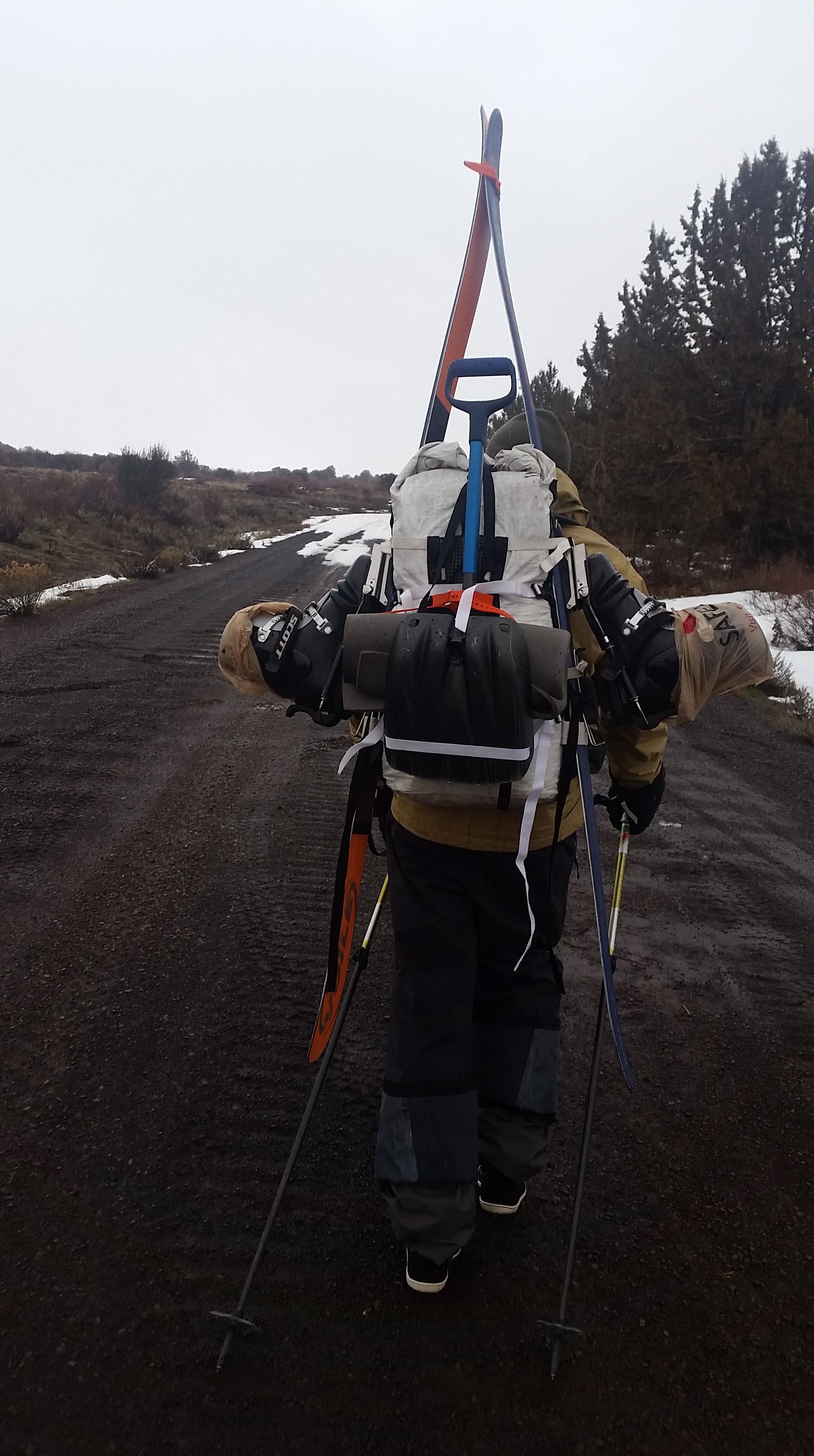
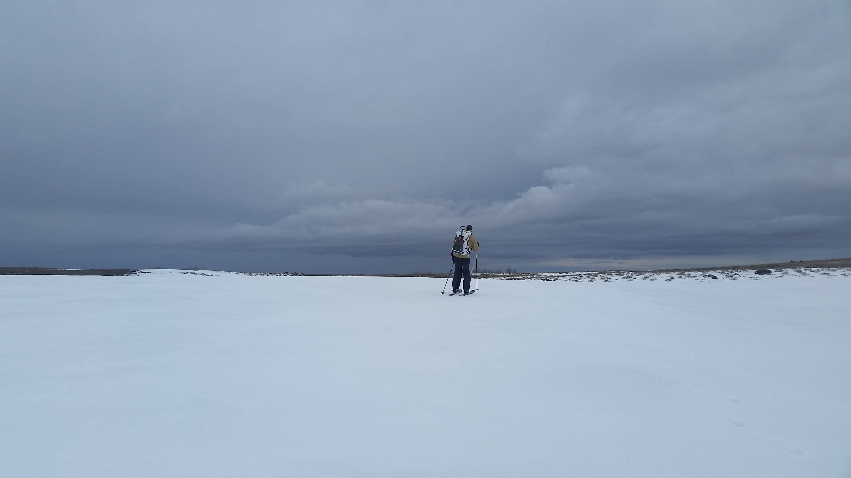
After huffing up the 2,000-foot climb out of Big Indian Gorge, my sweat-dampened shirt quickly chilled in the sharp November wind. I was just days from finishing my Oregon Desert Trail section hike with the final 65 mile stretch up and over the monolithic Steens Mountain in eastern Oregon.

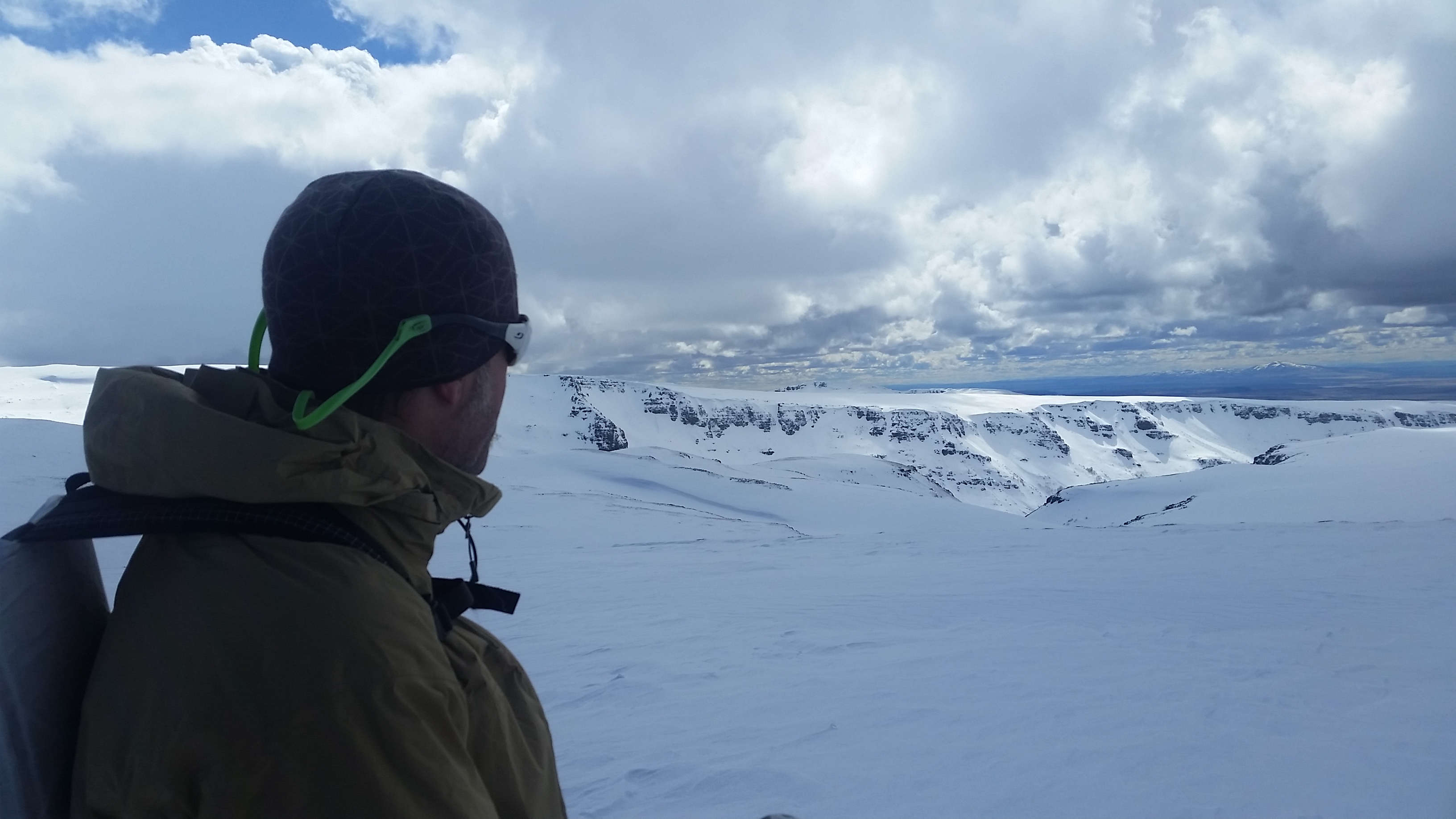
I surveyed the miles of alkaline playa 5,000 feet below Steens summit and the vast expanse of public land stretching far into the horizon. That early November morning was just days away from an election that would upset the nation, and jeopardize the future of the very land below my feet.

In the weeks that followed, one thing became clear: I need to act to protect what I love, and the question became: How can I advocate for public lands and have a real impact?

I am fortunate enough to work for a conservation organization, the Oregon Natural Desert Association (ONDA), which has been working for 30 years to protect, defend, and restore high desert landscapes in eastern Oregon. But after multiple conversations with friends who don’t directly work in the conservation field, I realized they too wanted guidance on how to be effective in advocating for the future of our public lands. So I surveyed a few of my colleagues and came up with these action points:

5 Tips on How YOU Can Advocate for Public Lands Protection

1. Focus on public lands close to home

One of the best ways to participate in the public lands debate is to become educated about some of your favorite places. Is your go-to hike on public land? If so, which agency manages it, and does it currently have any protections or designations? We often form personal connections with our favorite places, and those connections can be powerful when a place you love is at risk. Visit your Forest Service, BLM, or State Parks office. Learn more about how they steward your favorite places, ask how you can participate in trail maintenance, or in any upcoming planning processes.

Even the youngest volunteers can make a difference in a conservation organization. Photo by Allison Crotty

2. Join a local conservation organization

Most communities have a variety of nonprofit conservation organizations that work to protect important landscapes and watersheds. Each of these groups may have a specific focus, whether it is sustainability, climate change, river health, or supporting the stewardship of a specific wilderness area. These organizations give a powerful voice to important local and national public land issues, and rely on their members to help support advocacy for restoration activities in the places we all cherish. Consider becoming a member of one conservation organization in your area. Start volunteering, or join them on a hike or stewardship trip. Your donation, membership, volunteer time, or voice can make a difference.

3. Get to know your senators and representatives

Your senators and representatives represent you on the state and national level, so it’s important to let them know where you stand on public lands issues. There is a lot of debate these days about the most effective ways to reach out to your elected officials, but any action is better than no action. Call their offices, write postcards, attend town hall meetings…and make it personal. You don’t have to be an expert on public lands to have a powerful pull. It can be very meaningful for our officials to hear from everyday people who care about public lands, so share your stories, share your concerns, and if they have been supportive of keeping public lands public, thank them!

Get creative with your signs at the next town hall event in your area. Photo by Heidi Hagemeier

4. Hold small gatherings with friends/family

Since so many people take access to public lands for granted, we need as many folks as possible to simply be out talking with their friends/neighbors/family about why public lands are important. Invite some friends over, and over dinner or beers talk about a few of the current threats. One of the main issues you may want to discuss involves proposals to hand over American public lands to the states. Because most state governments can’t afford to manage millions of acres of land, a likely scenario would result in raising taxes or selling our land to the highest bidder in order to pay for costs like firefighting and management. Come up with a list of your legislators’ addresses, and then have everyone write a few postcards and make a night of it! (find more here: https://www.congress.gov/state…, https://www.congress.gov/ -search legislation).

5. Vote

Start local. City, county, state and even school boards have elections between the presidential election years, and we can build a strong voice from the bottom up. Do some research and find out where your local candidates stand on public lands issues. Then make your voice heard on Election Day.

Renee “She-ra” Patrick is the trail coordinator for the Oregon Desert Trail in Bend, OR, and a triple crown hiker, having completed the Appalachian Trail, Pacific Crest Trail and Continental Divide Trail in addition to 6 other long distance trails. When not backpacking, she can be found packrafting, skiing or napping in the backcountry. You can read about her adventures on her blog,www.sherahikes.wordpress.com.

Skiing Steens Mountain

Steens Mountain is considered one 50 mile long mountain in Eastern Oregon.

One of the things I love about working on the Oregon Desert Trail is the opportunity to head out into the desert at different times of the year to explore what other seasons and methods of travel can happen along the route. In winter this year, one probably could have skied the entire route. January dumped 3-5 feet of snow many places in the high desert, an unusual event for the past 9 years I’ve lived in the area.

I knew the Steens Mountain would have some epic skiing, and last weekend Kirk and I headed out there with our touring set up and camping gear to see what we could get up to.

In the winter the Steens Loop Road, which takes folks to the 9,500 top of the mountain from the little town of Frenchglen, is closed, but the Burns BLM has a winter permit system whereby you can check out a key to the gate. I’ve been working with the BLM over the past year on issues relating to the ODT, and will in fact be leading 2 trail work trips on two different sections of trail there this summer. I also plan to head out there again in a month or so to packraft one of Oregon’s Wild and Scenic Rivers (and a water alternate to the ODT!) the Donner und Blitzen River. There are just countless things to do in the desert.

We took Friday off of work and drove to Burns to stop by the BLM office, then made a stop at Safeway to buy lots of goodies for the weekend. By 11am we were in Frenchglen, and I noticed that the Frenchglen Hotel had reopened for the season. I stopped in to say hi to the caretaker John (it’s a Oregon State Heritage Site) and decided if we made it out on Sunday in time that we would stop by the hotel for a Steens burger (yum).

We unlocked the gate and were able to drive in about 9 miles until we reached snow. It looked as if a few people had tried to drive into the snow patch, and as we could see dirt about 100 yards away, considered trying it ourselves, but the churned up snow also gave the impression that one or two of those cars had gotten suck, so we decided to play it safe and park.

It was quite blizzardly out, and we put on all our gear and goretex before leaving the car. We both brought shoes as we thought we might have to hike a bit before finding enough snow to ski. All in all it ended up being about 2 miles of walking before enough solid snow appeared. We may have regretted stopping the car so short, but on Sunday on our hike out, we saw fresh evidence of another car getting stuck. Oh, maybe we made the right choice.

Kind of a junk show

Come on snow!

The weather was nasty, and the stinging snow stuck to our packs and battered what little bits of our faces weren’t covered up. By the time we arrived at a big grove of aspen near Fish Lake we decided to set up camp even though it was early. Neither of us had been on the road this time of year, and it had been long enough since Kirk had been up here we weren’t sure there would be much tree cover further up. Fish Lake is about 7,500′, and the wind was howling. We found a spot that seemed a bit more protected and set up our Hyperlite Mid (a great snow shelter, and light as it’s cuben fiber).

Time to find shelter!

Saturday the morning was clear and sun streamed into our mid, warming us up pretty quick. After some coffee we packed up our packs for the day, and set off to ski the road up about 2,000′ to the Kiger Gorge lookout.

Oh that blissful sun!

Lunch is going to be awesome

It was fantastic! After a few miles we started traversing near the Blitzen Gorge, and it looked like it would be some epic backcountry skiing. We decided to stick to the road, and while sections were wind blown and some sagebrush and rocks would appear from time to time, the snow coverage was pretty even.

Kirk looking into Blitzen Gorge

The good stuff

Finally about 2pm we made it up to Kiger Gorge, a glaciated canyon that looks like it belongs in Glacier National Park. Epic.

The ski out was even better as we were able to coast for long periods just enjoying the view around us. In retrospect we could have taken a short cut that would have given us more elevation loss in a shorter distance, but it was still pretty fun.

By the time we made it back to camp we were both ready for food, and snacked our way through the next few hours.

Sunday morning was overcast again, and by the time we packed up the sky was threatening to start dumping on us. We made it back to the dirt, luckily the cold night had iced up the new snow from Friday, so we were able to ice-ski farther than we could have on Saturday. On the last few miles of dirt it started to snow hard and sideways, and we didn’t even pause to switch to our shoes, instead hiking back in our tele boots. We were both ready to be warm inside the car, and it was a relief to take off those boots and get out of the wind.

Time to ski out…but first, coffee.

That’s some dark sky

And as luck would have it, we made it to the Frenchglen Hotel for those burgers. Oh yeah.

Technology is ok

I headed out to Eastern Oregon for another backpacking adventure this morning. My default weekend plans are going to involve backpacking…and hopefully a bit of packrafting…that is until the snow starts to fly… then it will be cross/backcountry skiing until April gets here and I head to NM for the CDT.

image

This week I choose my destination because my good friend, Sage Clegg, who was the first to hike the new Oregon Desert Trail, mentioned one of her favorite parts was in the Fremont Wilderness, near Paisley, OR. I went to my maps and found a ridgewalk loop I could do in the Fremont. When given the choice, I choose ridgewalking, views, and loops!

image

I am again trying to post from the trail using WordPress, in this case the Dead Horse Ridge Trail. The drive was more like 3 hours from home, as opposed to the hour last weekend, but I could still see glimpses of the Three Sisters near Bend, and was reminded of how I could easily spend a lifetime exploring all Oregon has to offer. The mountain ranges, wilderness areas and national forests are endless out here (hot springs too!).

This trip is another solo one, and same as last weekend, I found myself posting often to Instagram (@wearehikertrash) since I had 4G service. Even though I’m alone, the act of posting and getting immediate responses makes me feel as if I’m not that separated by distance and time as previous hikes, and I like it!

image

On the Appalachian Trail I carried a phone card and disposable camera. I only took about 200 photos over the whole trail, and each image I snapped was precious. I would call family and friends when I could get to town and find a phone booth. Those days are gone, along with the phone booths.

The technology found on the trail these days is incredible, and I’m joining in the fun. I’m still debating if I should only use my phone for a camera (the quality sure beats the disposable cameras of the AT) and the fact that I can upload images to my Flickr account as I go means I don’t have to send camera cards back and forth like I did on the PCT. I might take my GoPro to get video footage, and my ipod of course. All those things add up, but with my Secur solar panel, all can be charged from the trail. And there’s Guthook’s new CDT app of course.

Granted I can still turn off the phone and completely immerse myself in nature too, which I know I will want to do as well.

Even if I find myself alone for months at a time next year, my technology will help me feel much more in touch (and my parents will have a better time of it!).

All this technology is ok.

image

image