Day 2 is up on the story map! View it here.

Day 2 is up on the story map! View it here.
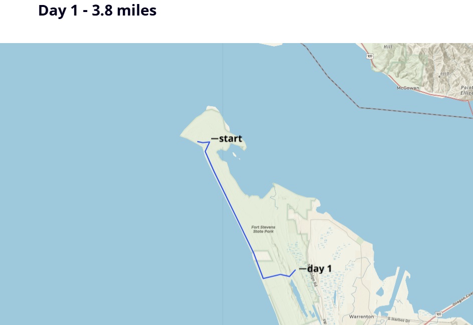
Day 1 is up on the story map! View it here.
Since my Day 49 blog was so short, here is some bonus content: the interview I did with #2 Pencil…
I’ll be giving another presentation next week for the American Long Distance Hiking Association – West (ALDHA-WEST) for their annual ruck on March 9.
This will be a one of several break-out sessions about using maps and apps on routes and trails. The keynote speaker will be from “LarryBoy” who hiked a 2,500 mile desert route connecting Arizona, Utah, and Idaho.
I’ve been participating in rucks for years…they are usually in person and help prepare hikers for the upcoming thru-hiking season, but because of COVID the event will be virtual this year.
What is a ruck you might be asking? Ruck is the German word for backpacking, and has been used through the trail community as a name for an event that helps you get out and backpack.
So join me on Wednesday, March 9 at 5pm PST.

The video of our panel presentation from Treeline Review is now up! Check out the webpage to find out more details about gear each of us carry, and watch the presentation here:
I had the pleasure of discussing the Blue Mountains Trail with Lori, founder of the Hike podcast.
Lori had me on a few years ago to talk about the Oregon Desert Trail, so it was fun to connect again about this new trail I’ve been helping with.
This year we are bringing back our group stewardship trips at ONDA, AND will continue to offer most of the independent stewards projects we developed because of the pandemic.
I’m going to be leading a variety of different trips this year including:
We’ll also have independent projects along the Oregon Desert Trail including:
2022 will be a busy year! I’m also going hiking for a few months this summer…all good things!
See you out there?
Join me and some of my fellow long-distance hikers for an online live panel on Monday, February 7 at 5pm (pacific time).

Read more about our gear here: https://www.treelinereview.com/gearreviews/whats-in-my-pack
I gave a presentation for the Deschutes County Library this week, one I have given many times before, but now in the day and age of Zoom I can share the recording with all of you.
You may have heard about a new packrafting book on the market: The Packraft Handbook by Luc Mehl
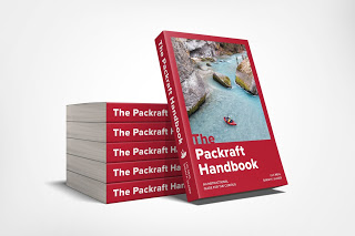
Gear review website Treeline Review (and small business owned by two incredible women, friends, and thru-hiking powerhouses: Liz “Snorkle” Thomas, and Naomi “The Punisher” Hudetz) asked me to interview Luc on Tuesday, May 5 to discuss how to get started packrafting.
Here’s the video:
