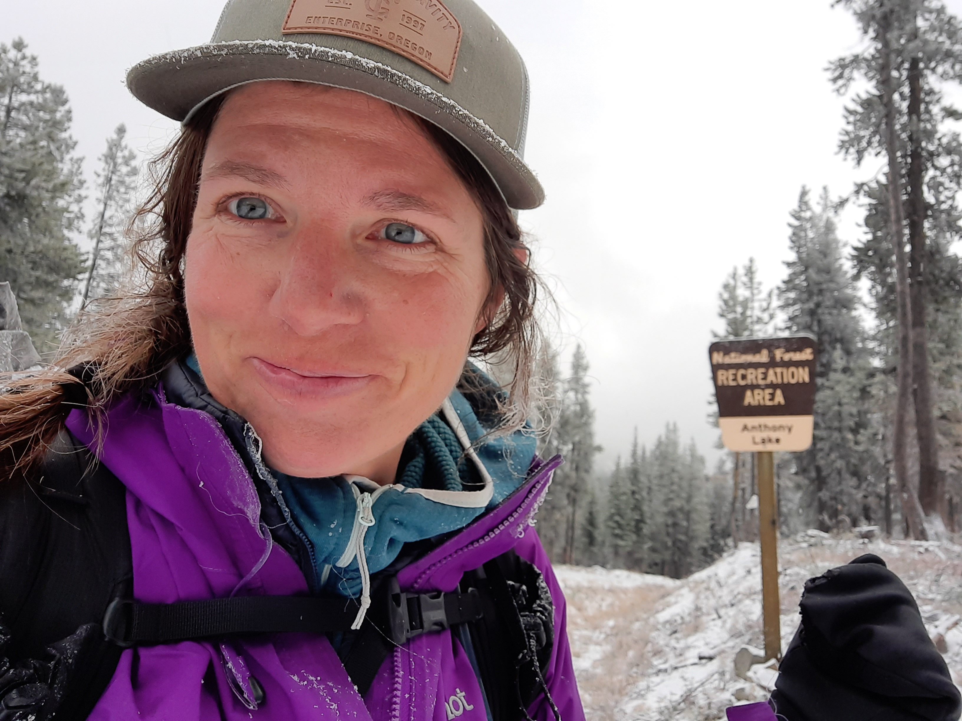
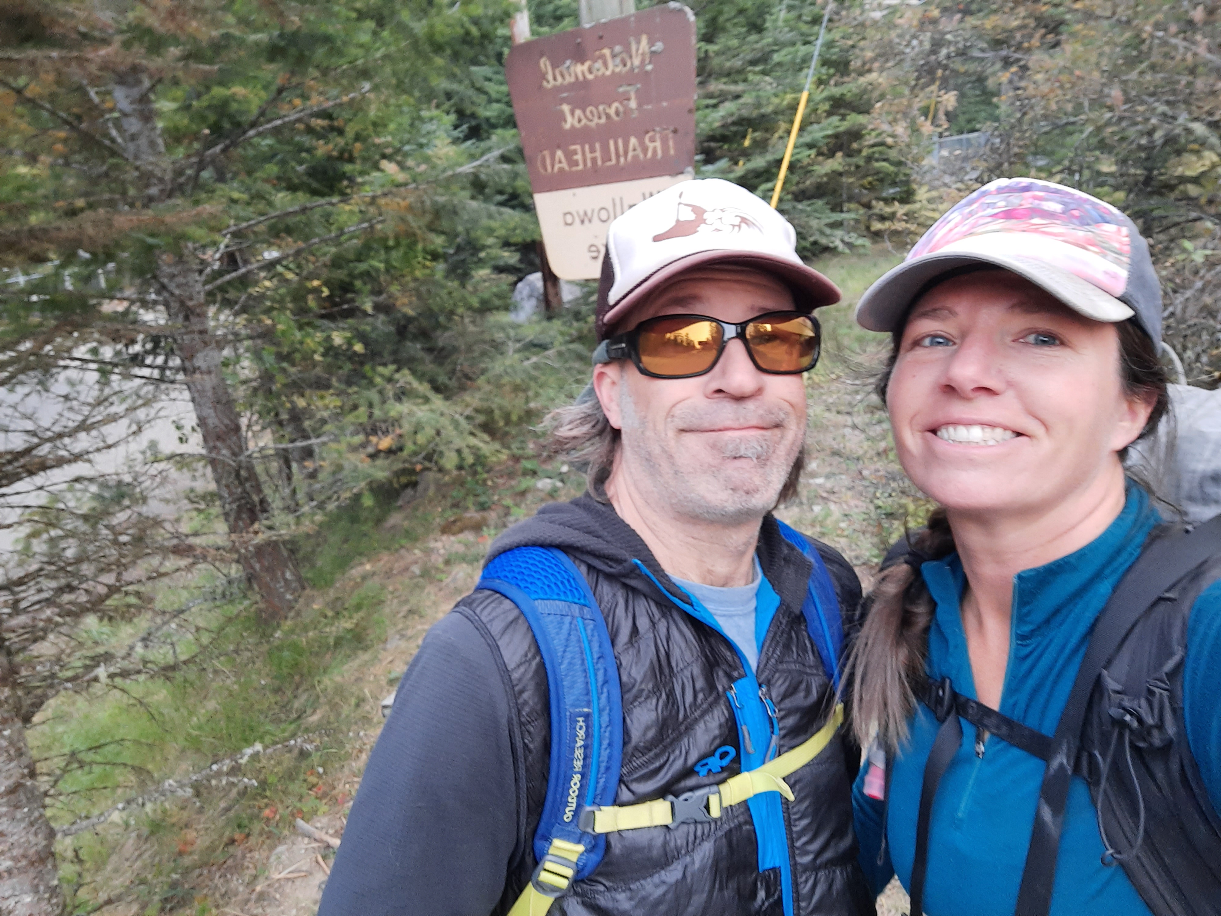
Ya’ll may remember I was the first solo hiker to complete the Blue Mountains Trail in 2020…and since then I’ve been a member of the Blue Mountains Trail Committee helping to promote and advance the establishment of this new long-distance trail in Oregon.
Christof set off on the Blue Mountains Trail in 2022, and I just caught up with his trip via this movie he made of the trip:
You may be shivering after viewing Christof’s troubles on the Wenaha River Trail, but good news! Earlier this spring, the Senate Interior Appropriations Subcommittee passed a funding package that included $300,000 dollars for the Umatilla National Forest to finally restore the Wenaha River Trail along its entire length, a windfall only made possible by the efforts of partners and legislators to recognize the Blue Mountains Trail as one of Oregon’s Signature Trails (I made this story map yo!).
More good news? Lots of trail work is happening along the Blue Mountains Trail, if you have the time and inclination, sign up for one of these trips:
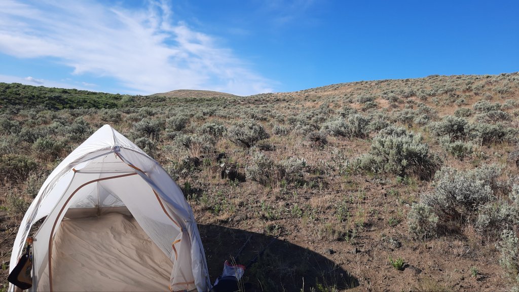
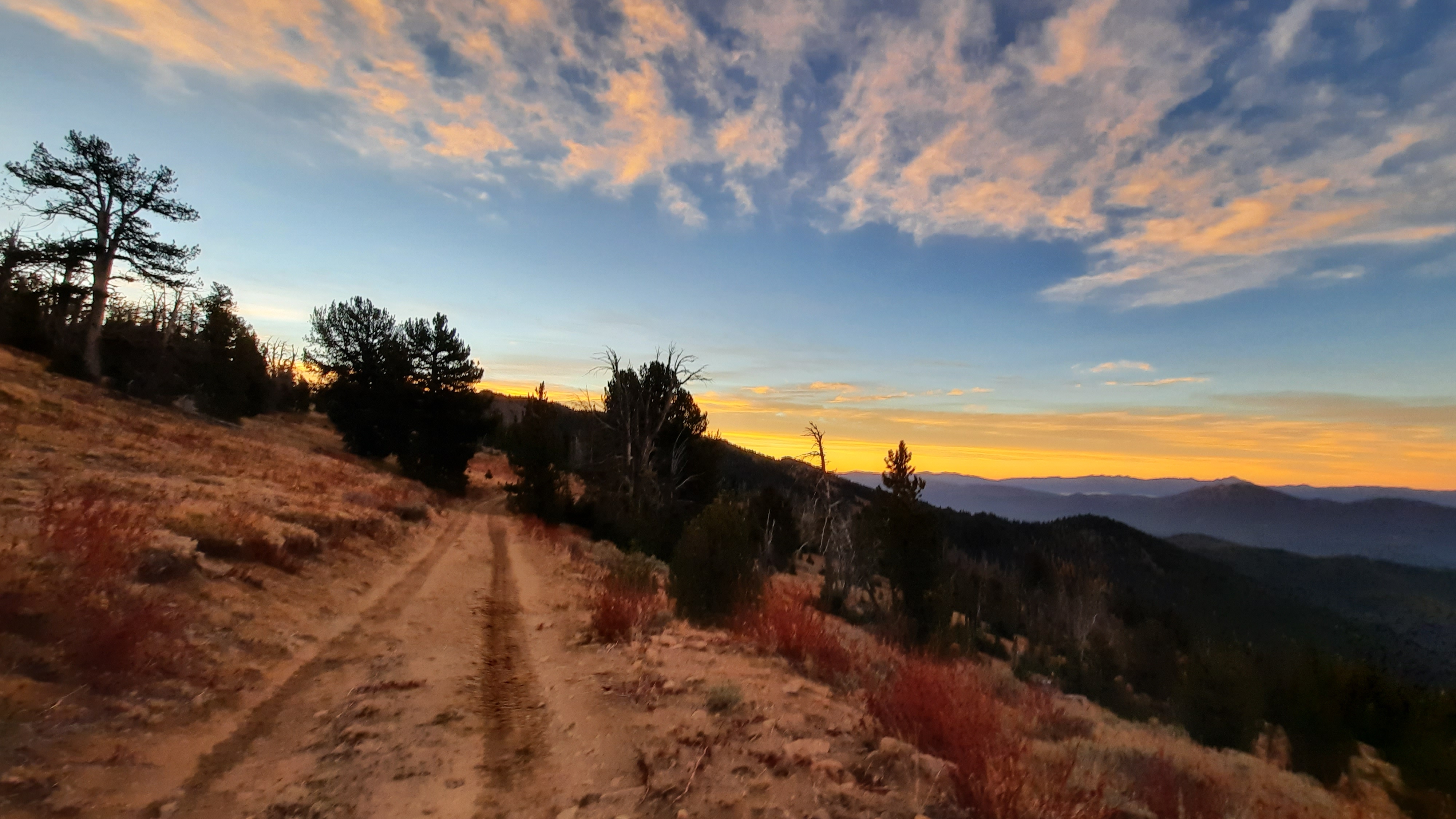
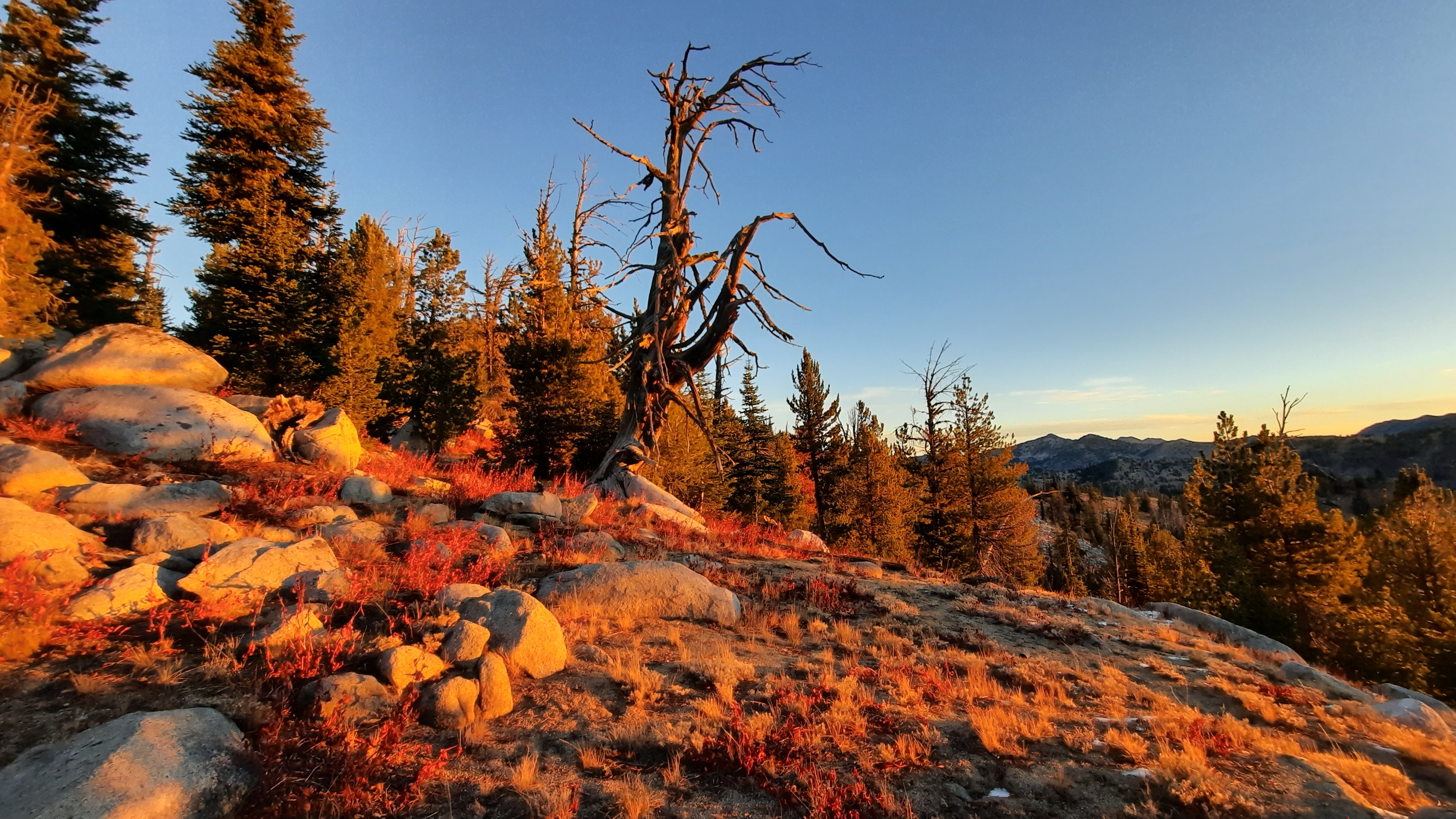
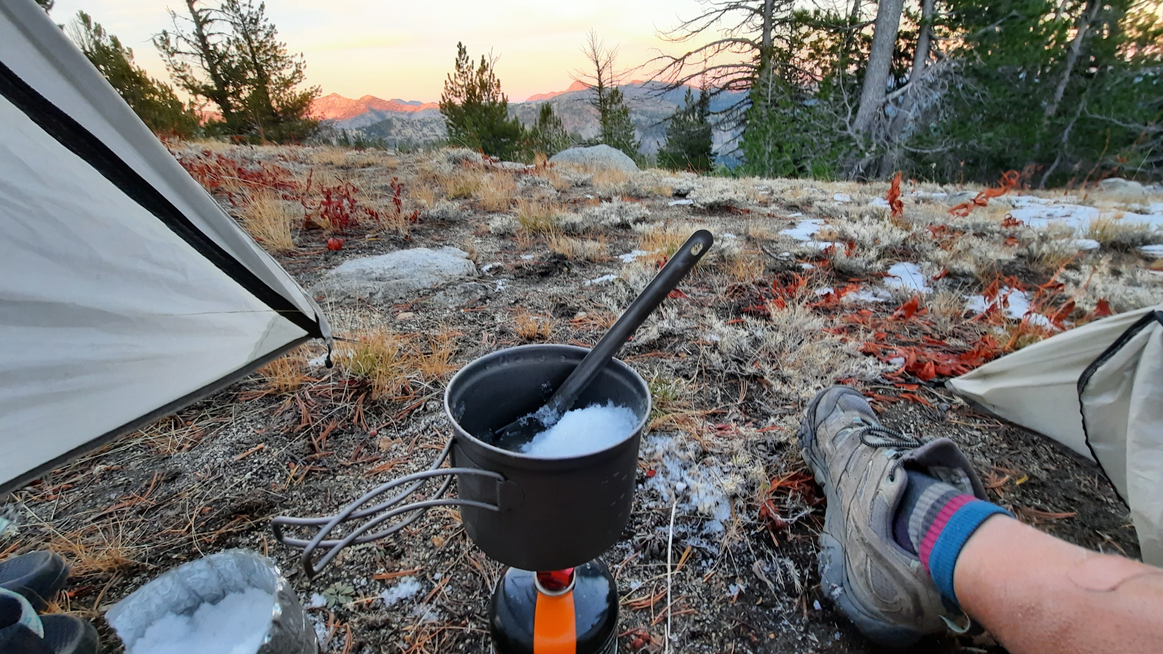
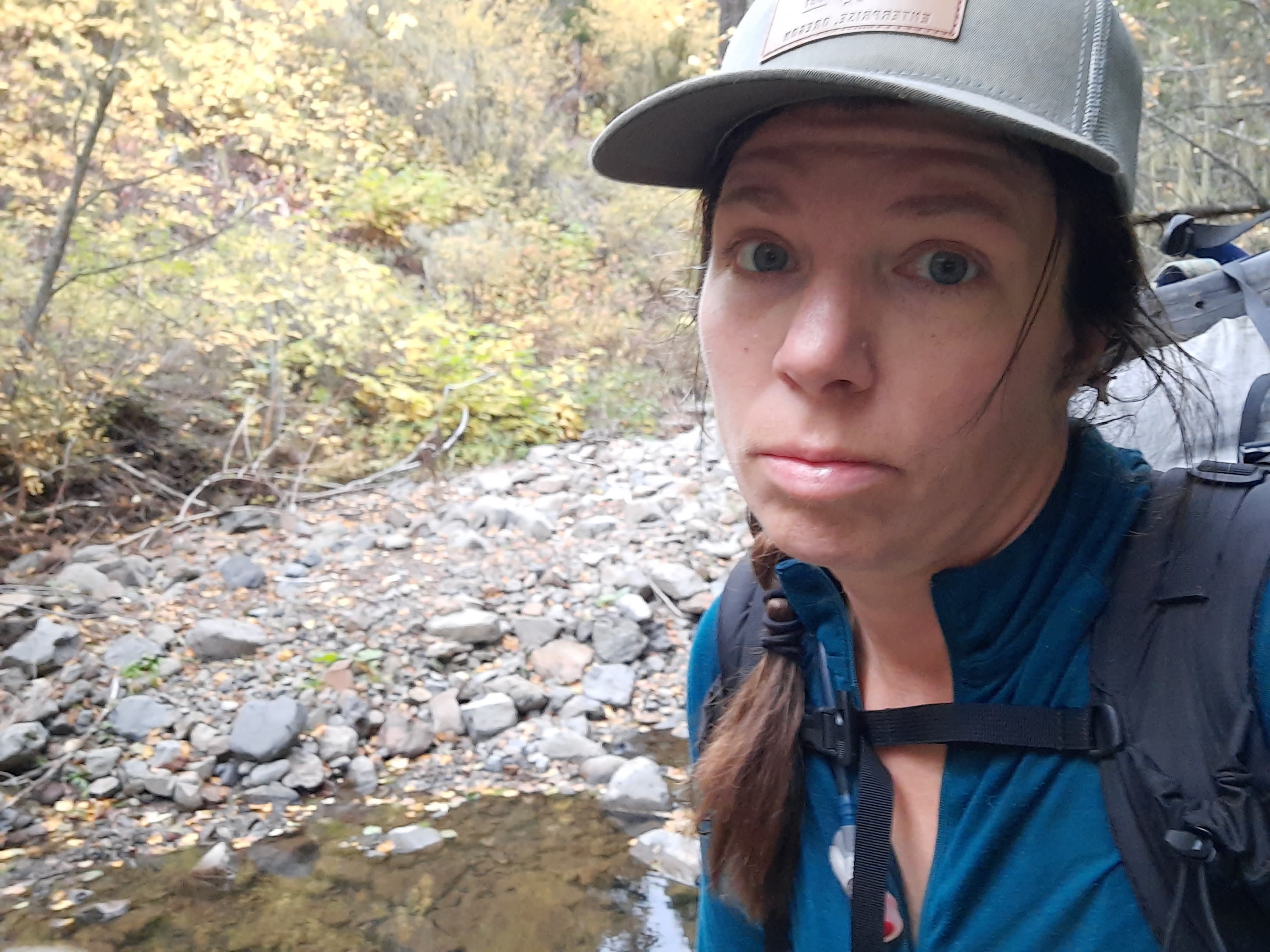
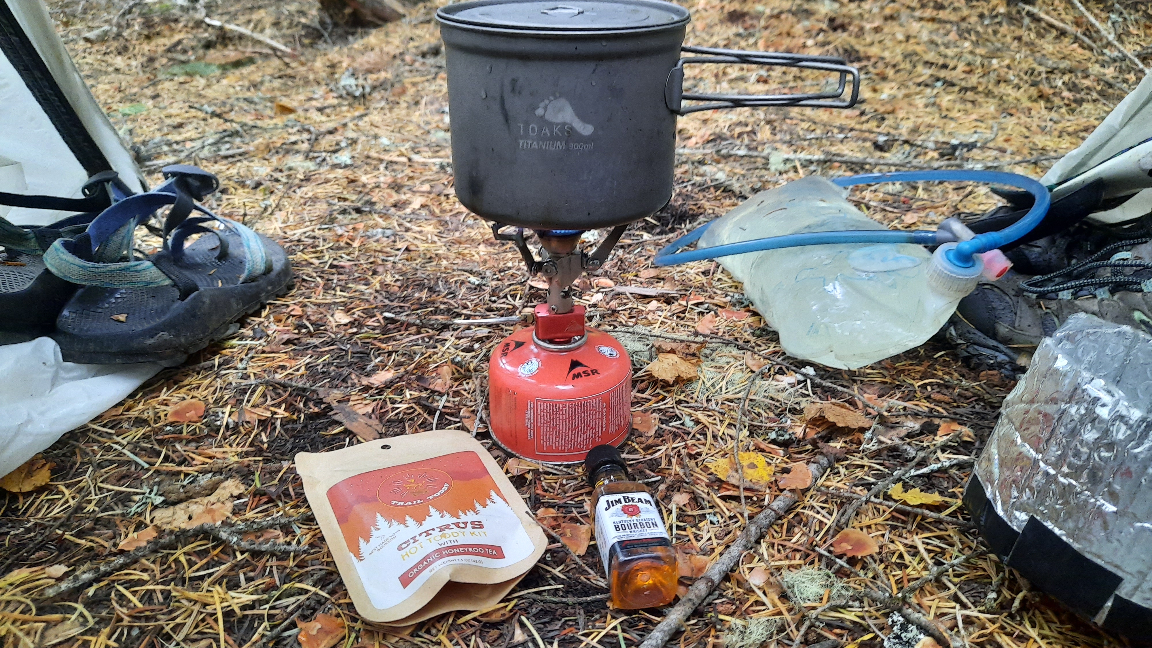
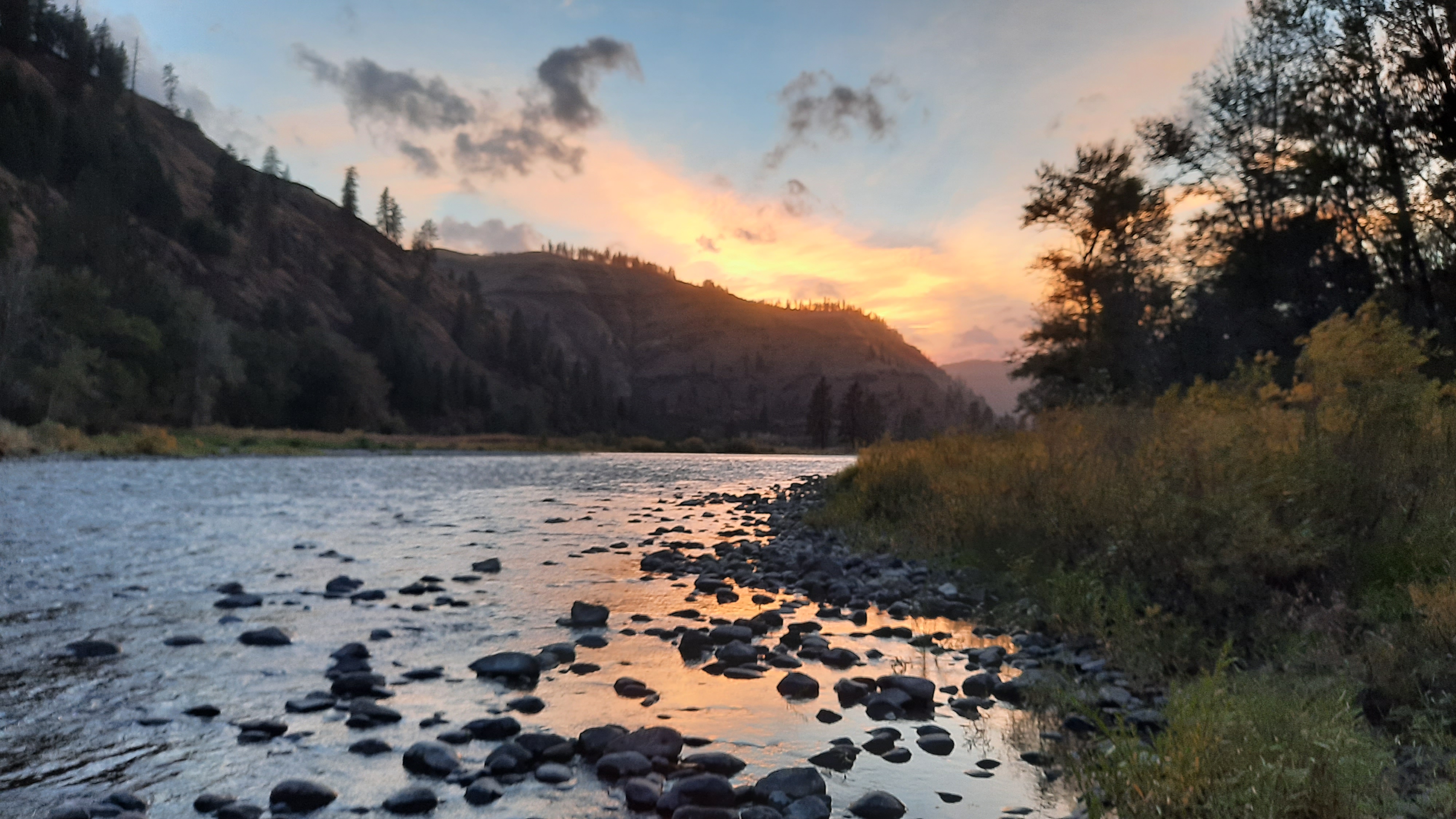
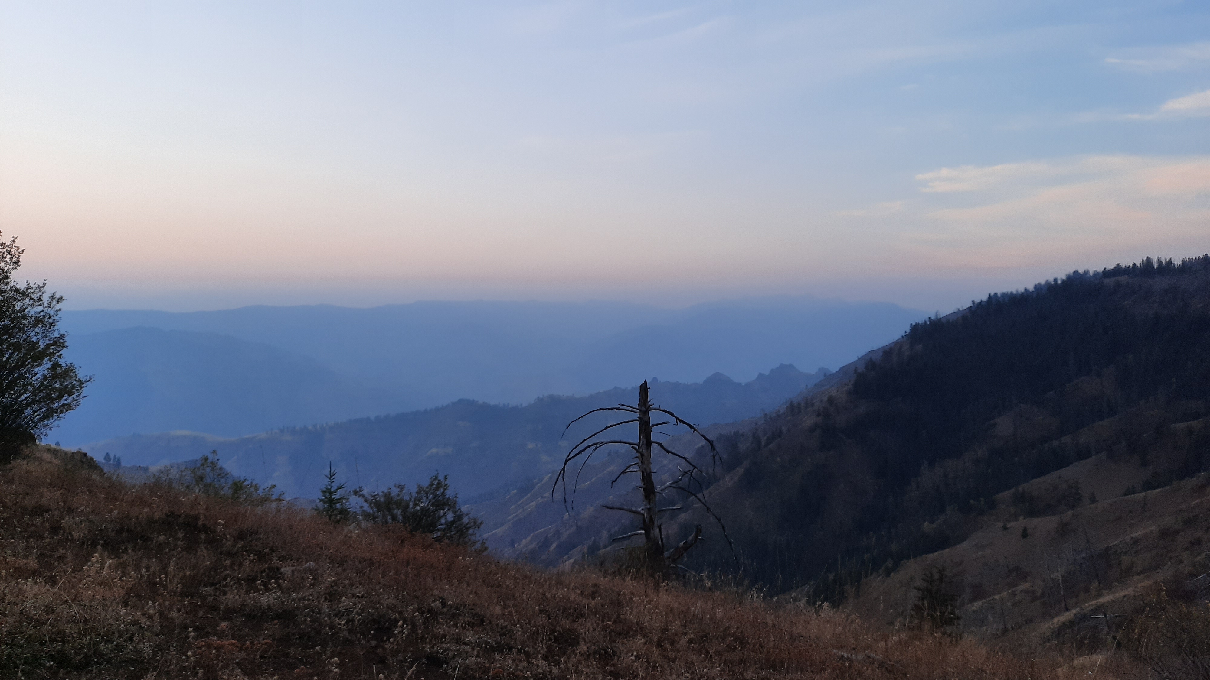
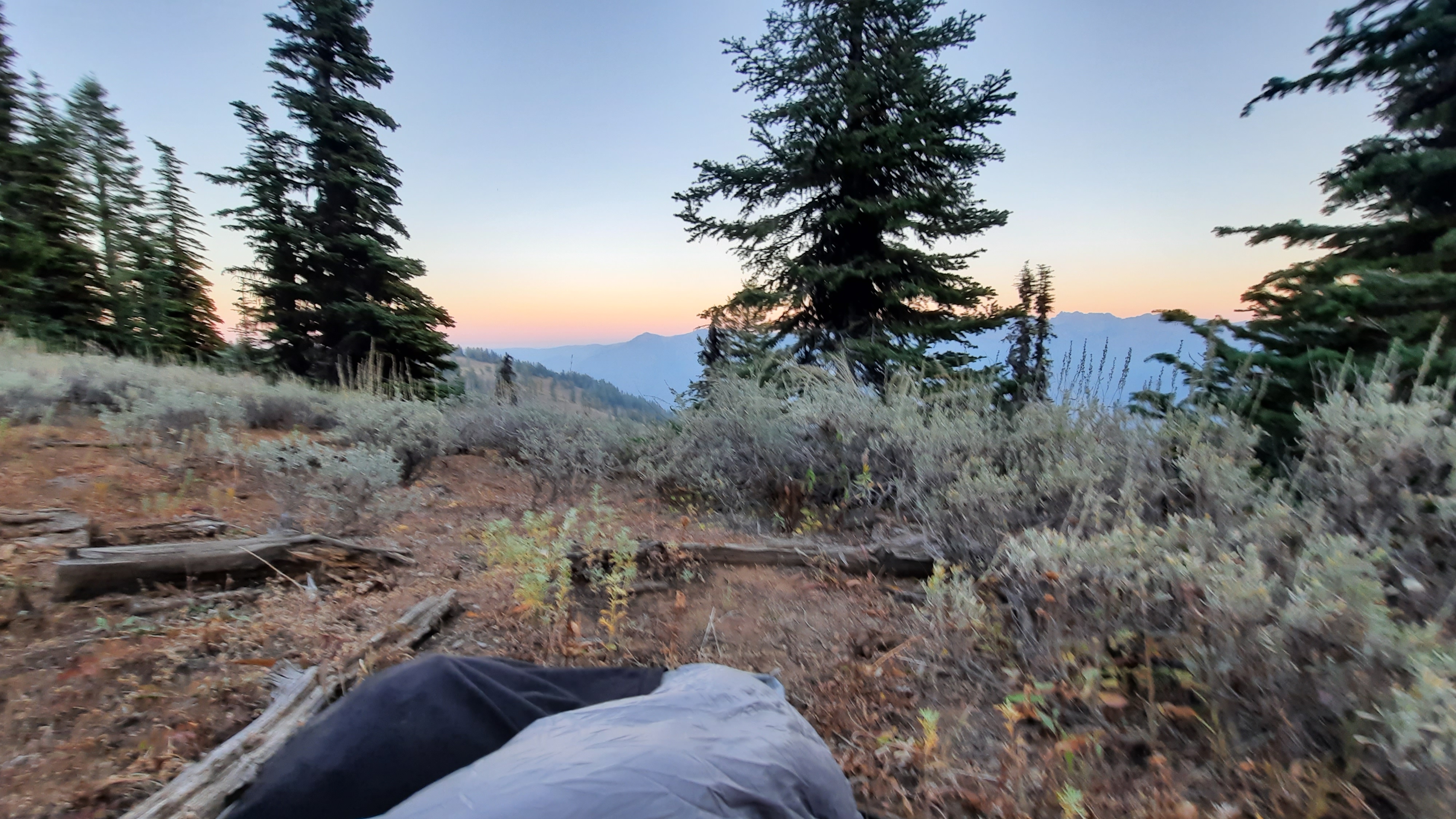
The wind was cold last night. I thought about taking the rainfly off the tent because its mind-numbing flapping was barely tolerable, but the thin nylon was shielding me somewhat from the chilling wind. As it was I snuggled deep into my 40 degree quilt.
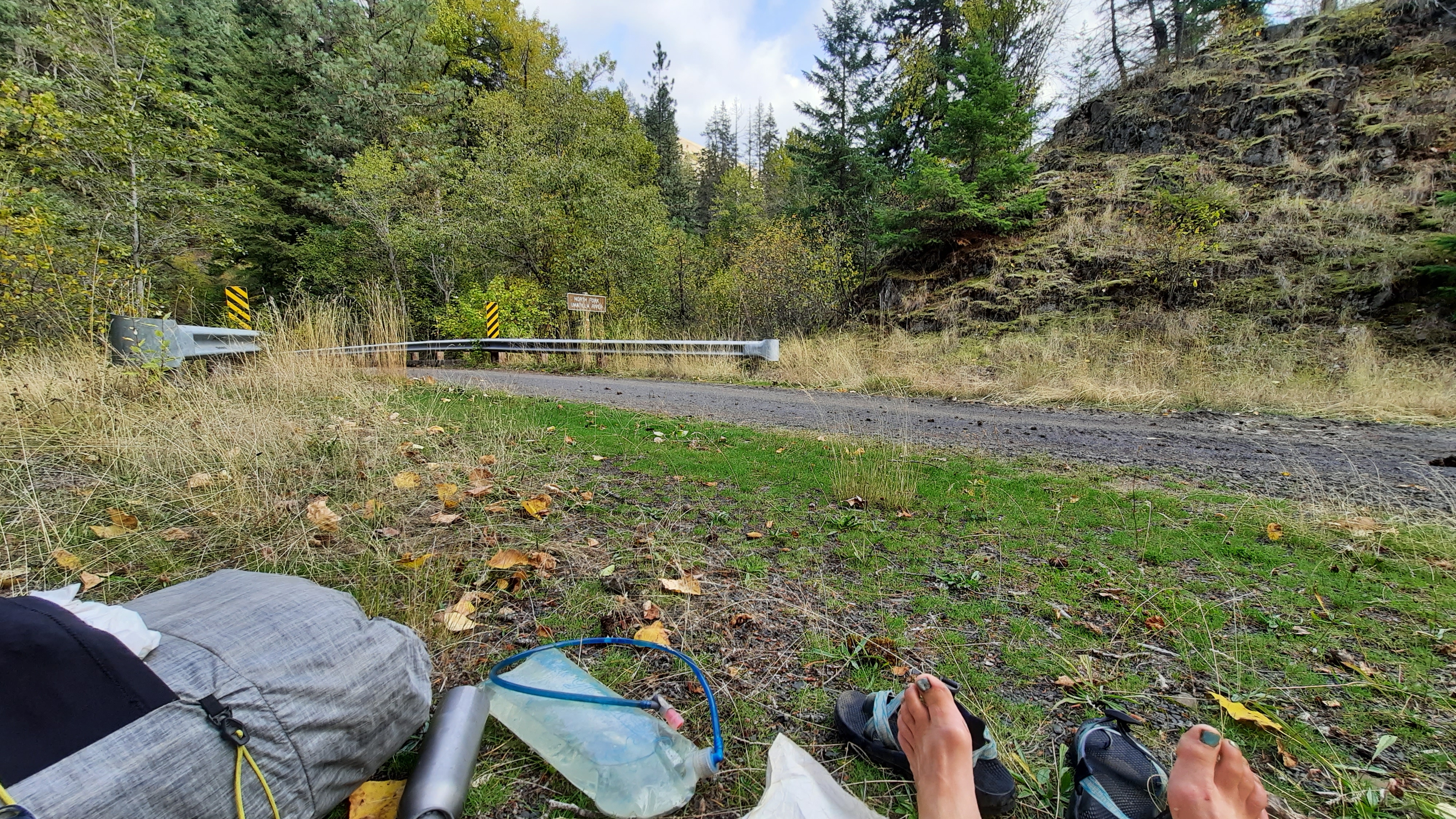
My morning route took a right onto a road as it crossed over another drainage, but I walked by the area, failing to see the road. I thought I could spy where it met the rise a couple hundred yards away, so turned around and looked closer. I finally noticed the gate. This road hasn’t been used as such in many decades. The tracks were gone where it crossed the drainage (with water of course) and thick vegetation obscured the way.
Here I go soaking my feet again, I thought. It wasn’t exactly the bog of eternal stench, (Labyrinth anyone?) but I was rock hopping just the same and got to the other side, dryness intact.
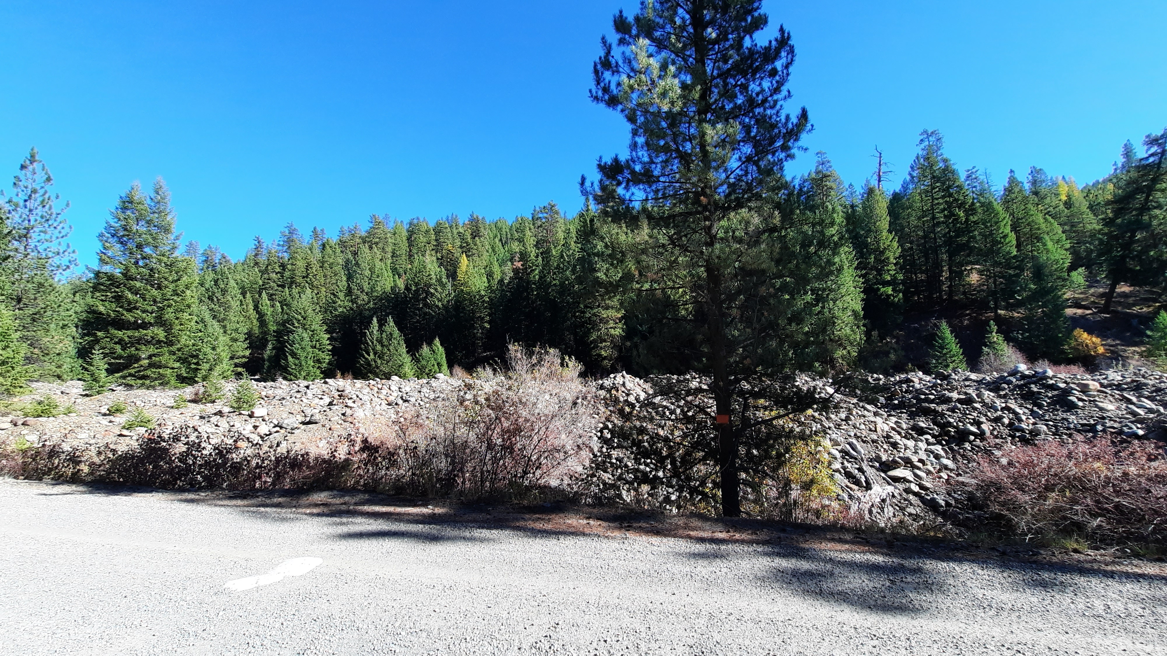
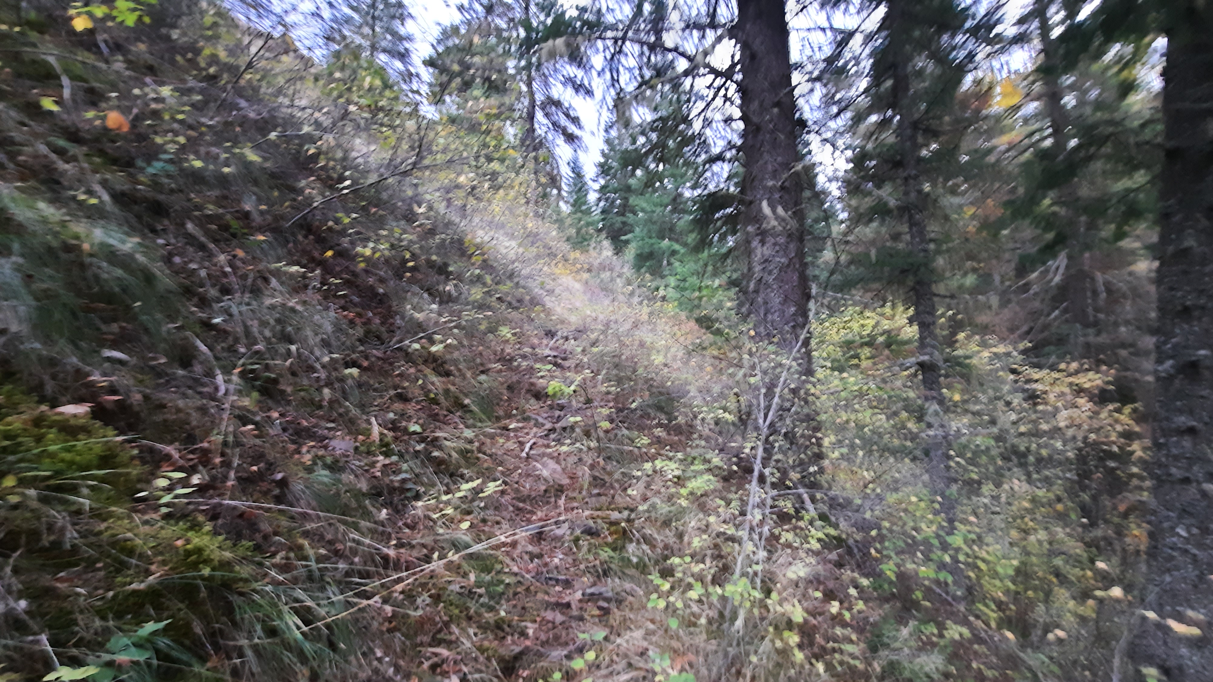
I’m glad I put my gaiters on this morning. The road walking was essentially cross country walking, then the next span of cross country walking was cheat grass walking.
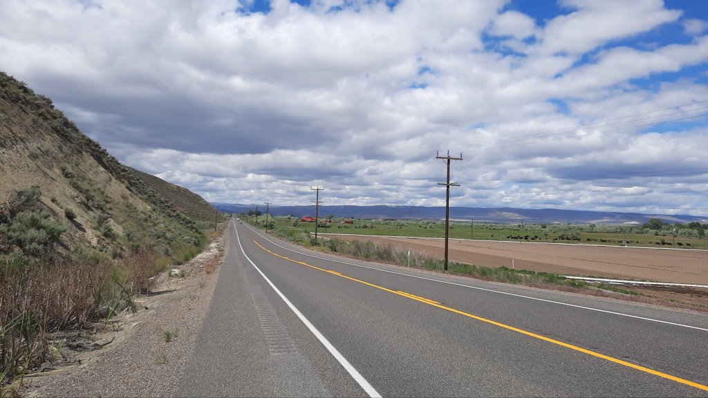
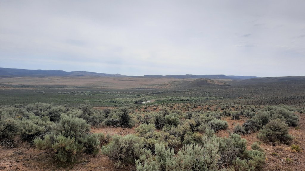
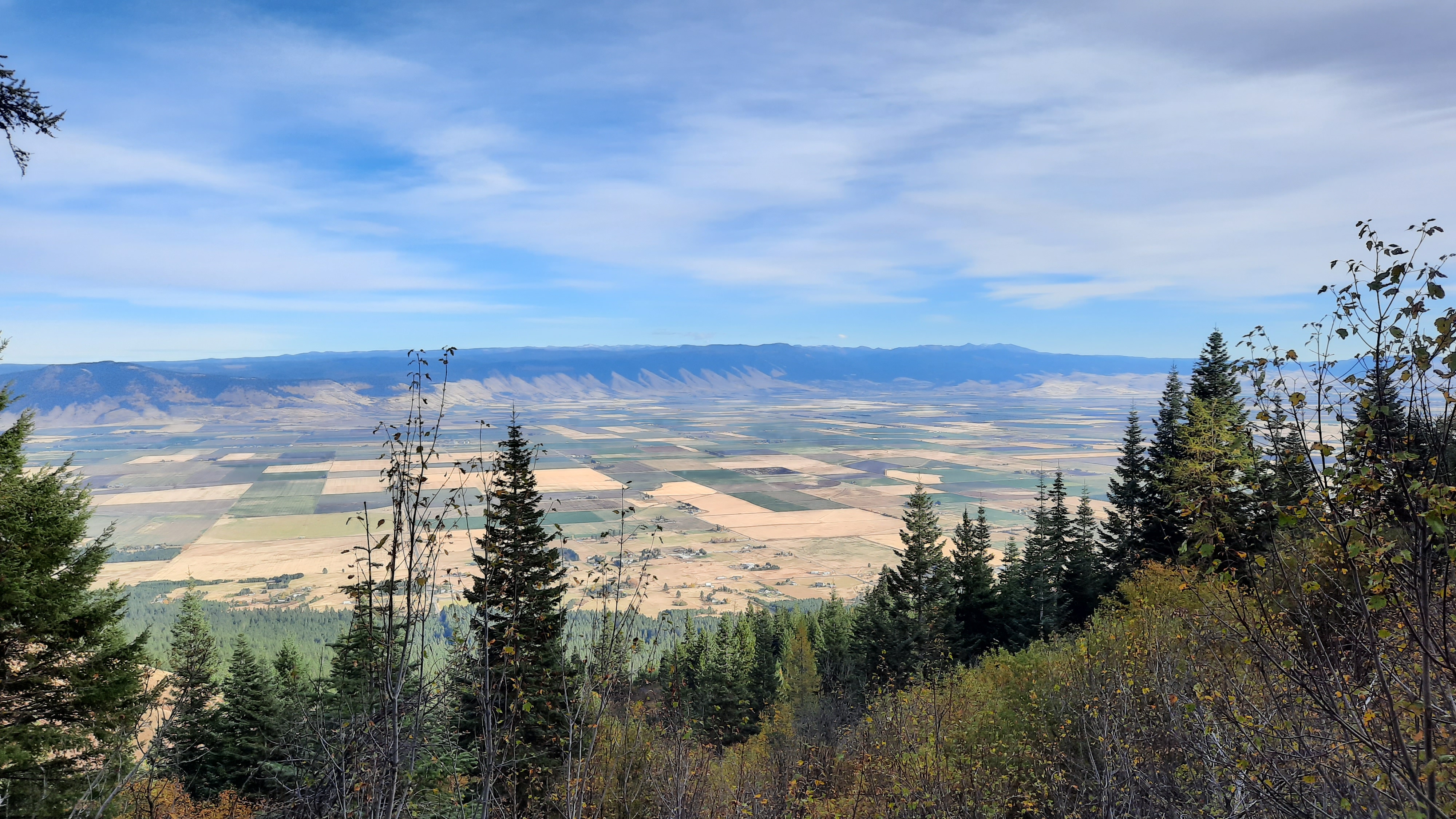
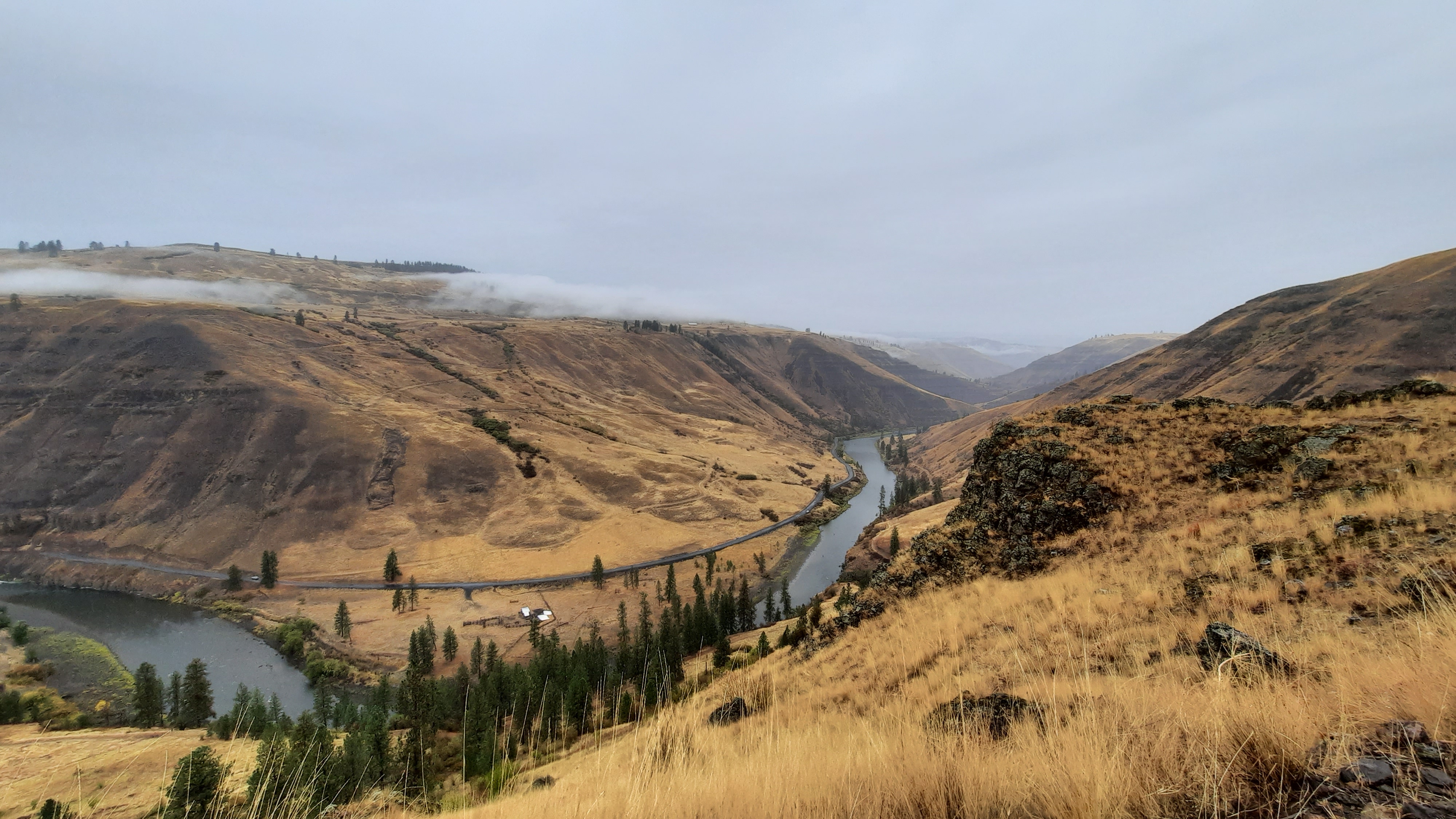
I could see the lush farmland of the Malheur River valley below. I was working my way towards the highway where i would walk the last 5 miles to my car at Harper.
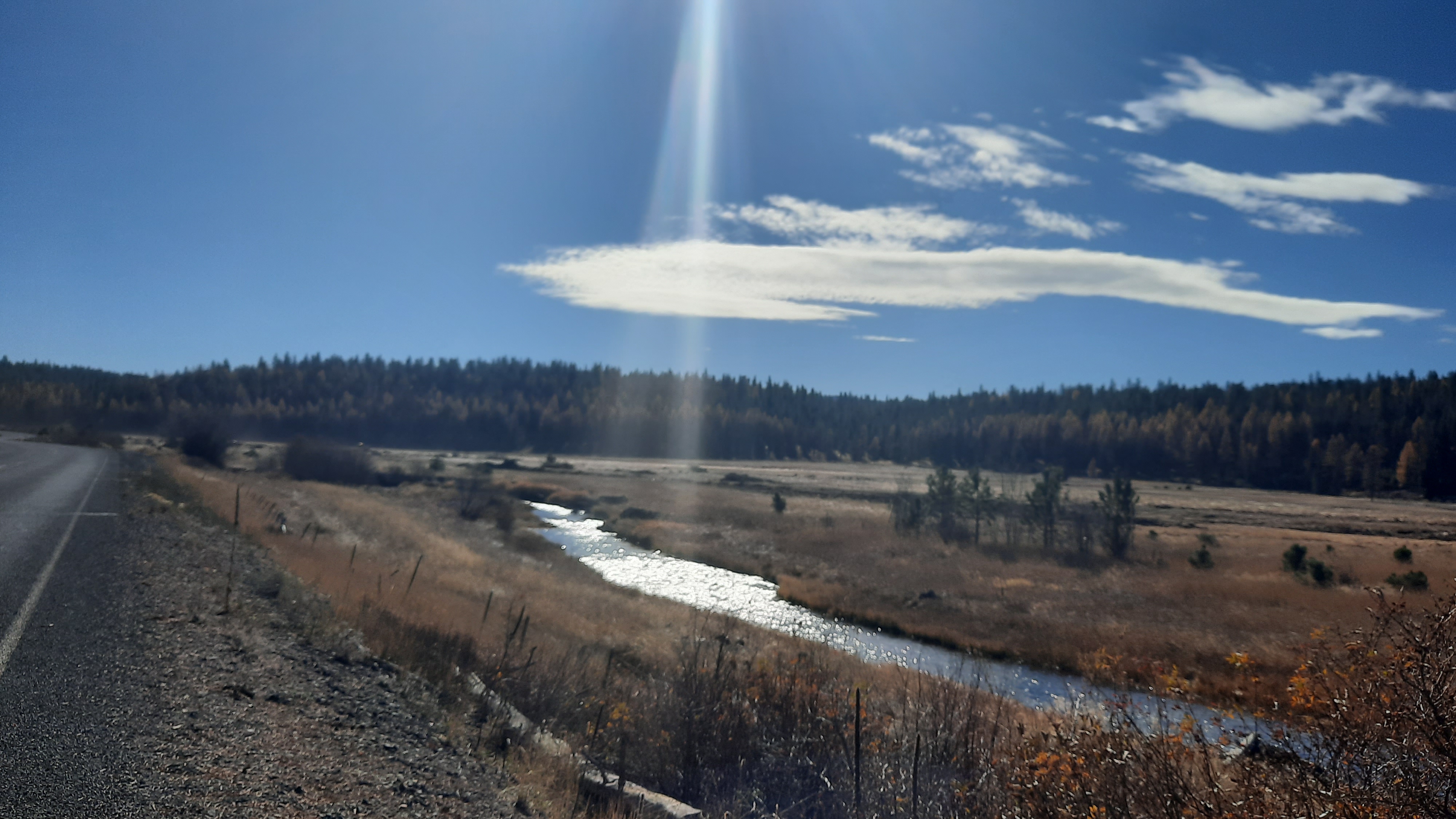
For the last bit I followed the contours of an open canal…with water! I can’t get over all the water I’ve come across on this trip.
Then the road. Just as I step onto the pavement a semi blasts me with air and send my hat flying. I walk carefully after that, moving far away from traffic as I slowly inch around a looong corner, listening to a podcast to take my mind off speeding vehicles.
Then, a car pulls over. I thought I might see some sympthatic recreationists on their way from the Skull Grinder bike race in Burns that weekend; I had spent the day there Wednesday as part of an Eastern Oregon Recreation Summit (talking trails and bikes) and the summit hosts were expecting hundreds of people for the race and festivities that weekend.
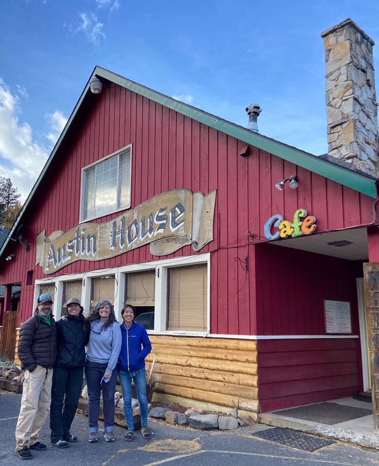
Ok, the car. Out gets Kate! Kate was with me at the summit and is the recreation lead for Eastern Oregon Visitors Association. I told the group I’d be out here walking, and here I am. Kate asked if I need anything, and I suggest getting a ride the last 1.5 miles to my car would be most excellent. She agreed and I hopped in. A short and lovely encounter on the side of the road. Thanks Kate!
I changed into my chacos and went inside to tell Brian about my trip. On Thursday when I showed up I convinced the owner of the gas station and store/bar to let me park my car there. Backpacking wasn’t a traditional past time in Harper, but I must have made a convincing argument because he agreed. In fact, my judgement may have been hasty. As I was walking away he waved me over to another Harper local to meet Jeanie. Jeanie’s brother had thru-hiked the Pacific Crest Trail and most of the Continental Divide Trail. Love it!
I enter the bar, remembering Brian had said he sells sandwiches. Rootbeer and sandwich…yes please! A few locals were nursing drinks, and Brian welcomed me with a Coors Light, then a rootbeer. Some of the cows belonged to a rancher at the counter, and I delicately mentioned how nice it would be if the cows were kept out of the springs… the conversation centered on the land, and I quizzed them on features and names of things. All and all, it was a great way to end the trip.
Ah, but it wasn’t over! At least I didn’t want it to be over. I had another day to play with, as my long miles on day 3 had me finishing ahead of time. So what is a big part of the hiking experience on a long trail? A town day! I decided to go the extra little bit to Ontario, Oregon and get myself a hotel room and nice dinner.
I wasn’t ready to go home yet. Home means the end of the trip.
But getting in the car means the end of this blog….see you soon when I start writing about the Appalachian Trail! The countdown is on 😁
On my last few outings this spring, the moon has been out and the birds don’t know to stop singing. Surely they know, but just don’t care? Do birds pull all nighters on a full moon?
I walked up the grade I saw the horseback rider on yesterday and found a better road to the spot. There was no way a big cattle truck would have taken the road I walked in on, but then again, you find astonishing things via these rough 4wd roads.
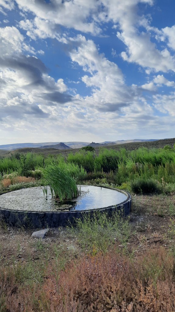
My next water source was a pleasant cruise down a grade filled with soft green hills. Patches of cloud cover rolled over the scene and the idealic setting took me to a beautiful tire-filled spring. These are the water sources we dream of. Little did I know this would be the best water of the day. I only took a liter and couldn’t resist holding it up to the light. Clean and clear.
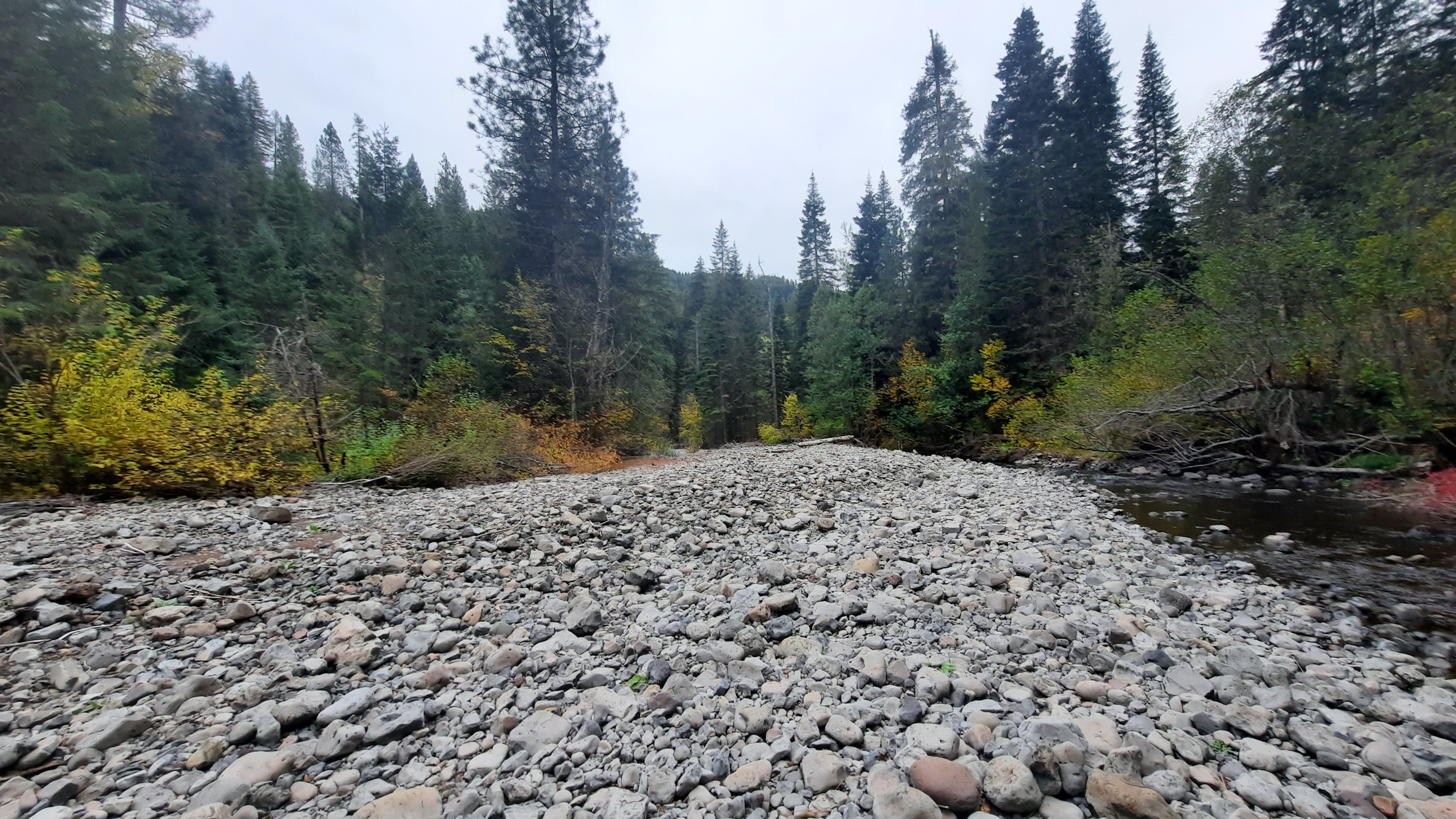
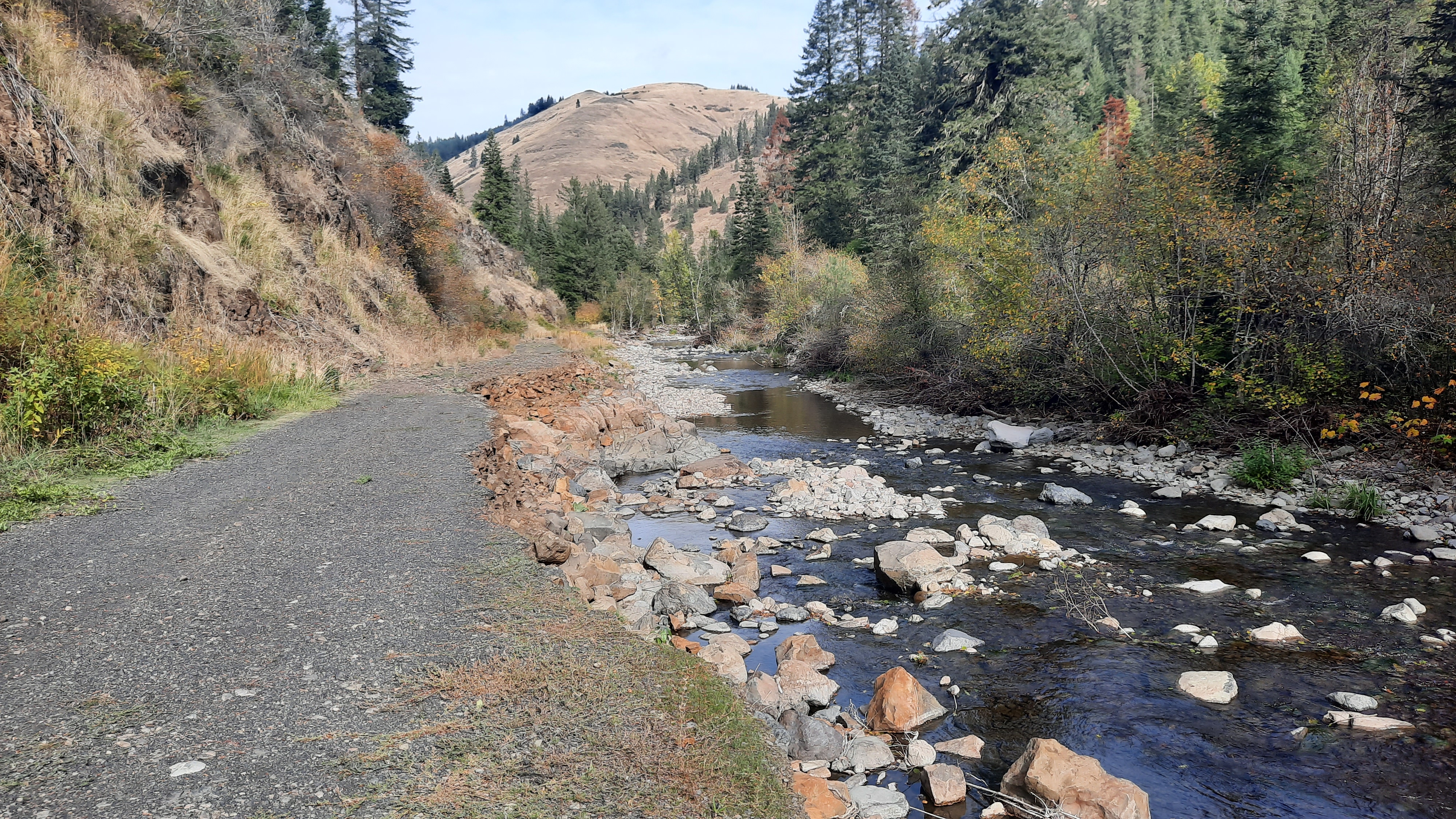
I walked next to and through a creek the rest of the day. It was nice.
Is it the cottonwood trees that are so fragrant? Their perfume sweetens the air.
I lunched at a spot called Hanging Rock Spring. I failed to see the hanging rock, but then I wasn’t about to go rooting in the brush for a view. It must have been a modest hanging rock.
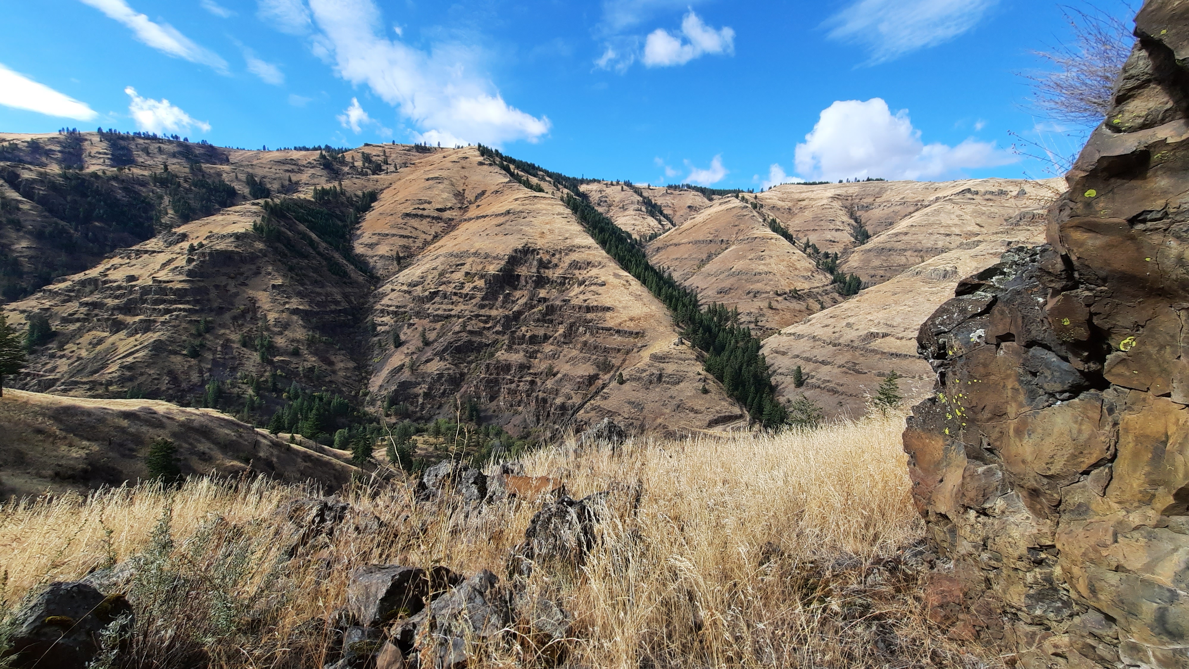
Speaking of rock, the near-by drainage was named “Hoodoo Canyon” and the terrain did become very south-westish. Definitely Utah or New Mexico vibes.
Again, I should have filled up my water when the road crossed the creek and I walked about 30 feet through it. I had already tried walking around, but once I was on the sandy talus above the drainage, the view showed me that I’d be trading a clean walk through the water for a marshy mud-foot crossing. No thanks. That’s a good way to lose a shoe.
Then I evaluated. My end of day water source wasn’t far off, as the crow flies, so decided on a cross country option up and over a few rises…such a cool way to hike! You can go anywhere out here…it’s wide open. Partial fire scars cleared the sagebrush and left cheatgrass in its wake….terrible for the ecosystem, but ok for walking.
The spring is hammered. Cows protest my approach to check it out and I find nothing but a cow paradise…there are flowers and green all around. It must be a lovely place to wallow if you are a cow.
Ok, next one looks to be a mile or so of cross country hiking. This is the part where the hills start looking like mesas and the soil turns an ashy white. Definitely a different look for this hike so far. Oh, and cactus! Blooming catus 🙂
This next spring is the worst by far.
No way. Not drinking that.
Now it’s 3 miles cross country, up and over a long climb. It’s early, walking only 10 miles is a big challenge for me when my pace is 3 miles an hour. I slow way down on a cross country sections, and in general am hiking slower on this trip, but I was cruising on this morning’s road walk.
I decided it had to be done. I could camp with what I had, but only if I eat a cold dinner and skip coffee in the morning. No thanks! Onward. One step at a time.
Ooo, there it is, my first blister of the trip. Day 3, not bad! And only when I pushed it over 10 miles. Good job body! By the way, my problem planter fasciitis foot was feeling good too.
On the other side of the saddle that sat between the water sources I came to a spring cut deep into a narrow ravine filled with grasses and flowers. I found a way down on a cow trail (#^@%^$), but the cows haven’t mucked this one up too bad, so was able to get some cleanish water.
Whew.
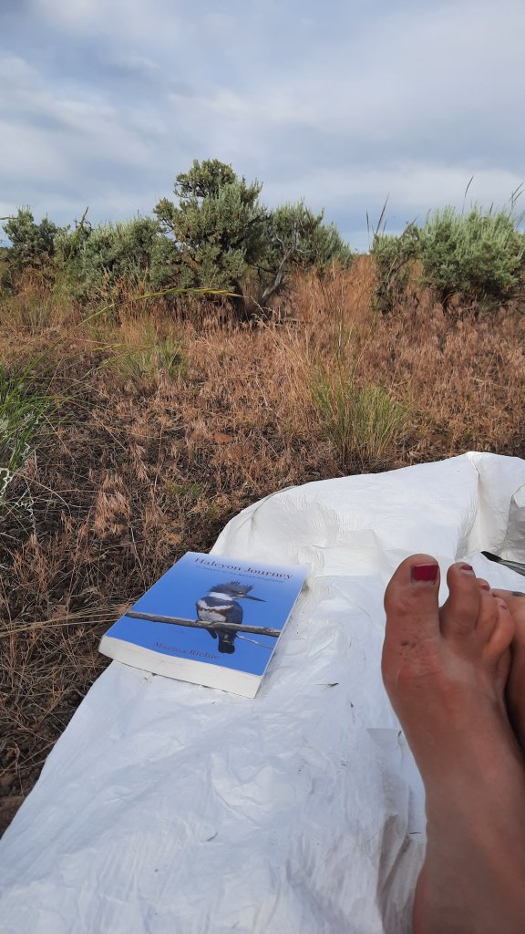
Camp, eat, hide from the sun, read, close my eyes while the birds chirp me to sleep.
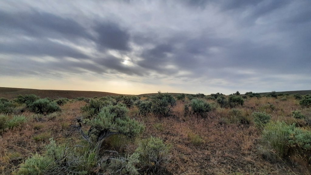
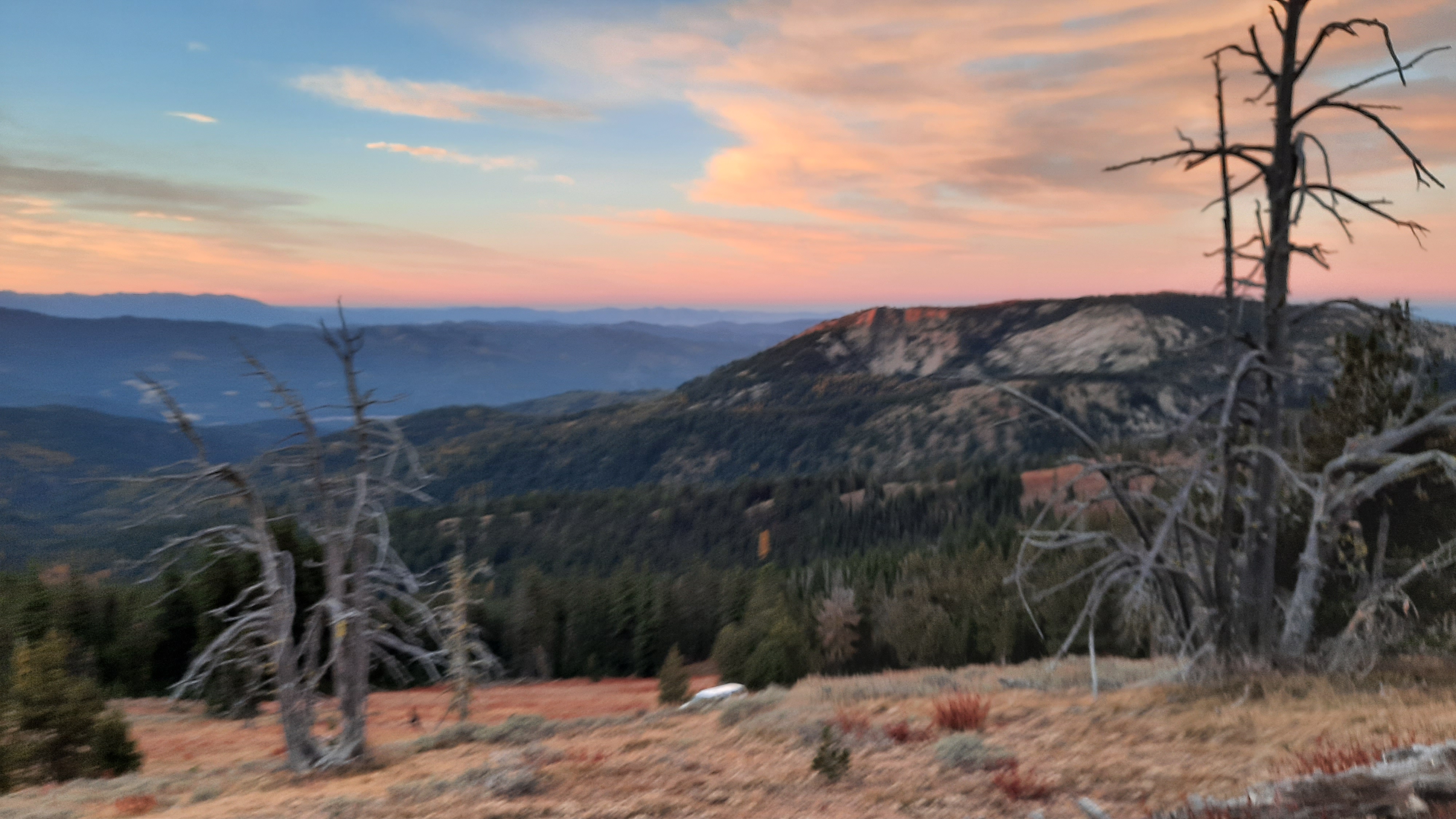
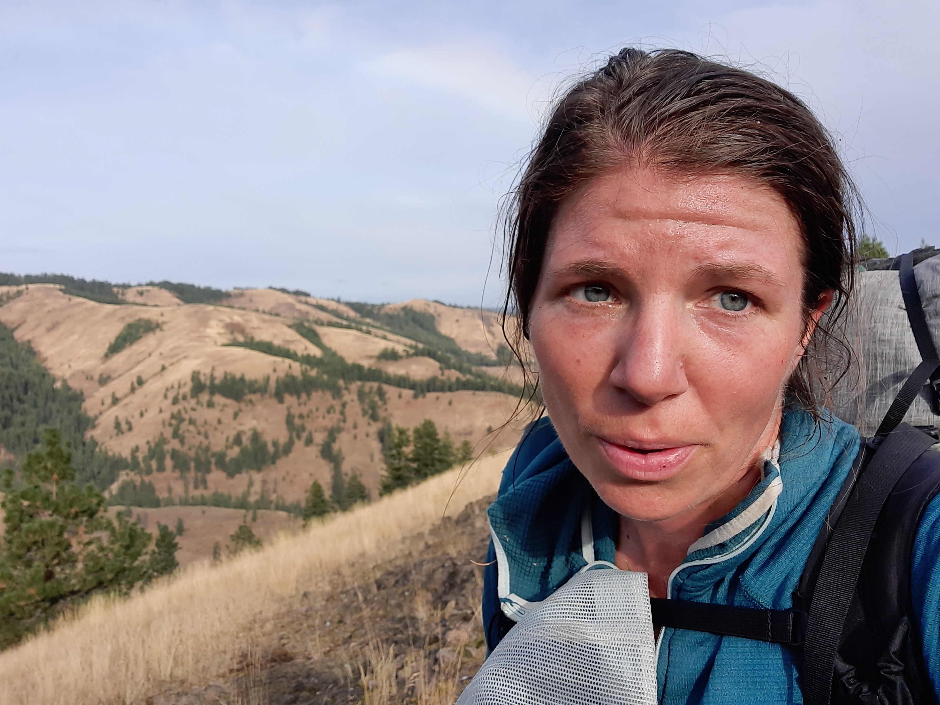
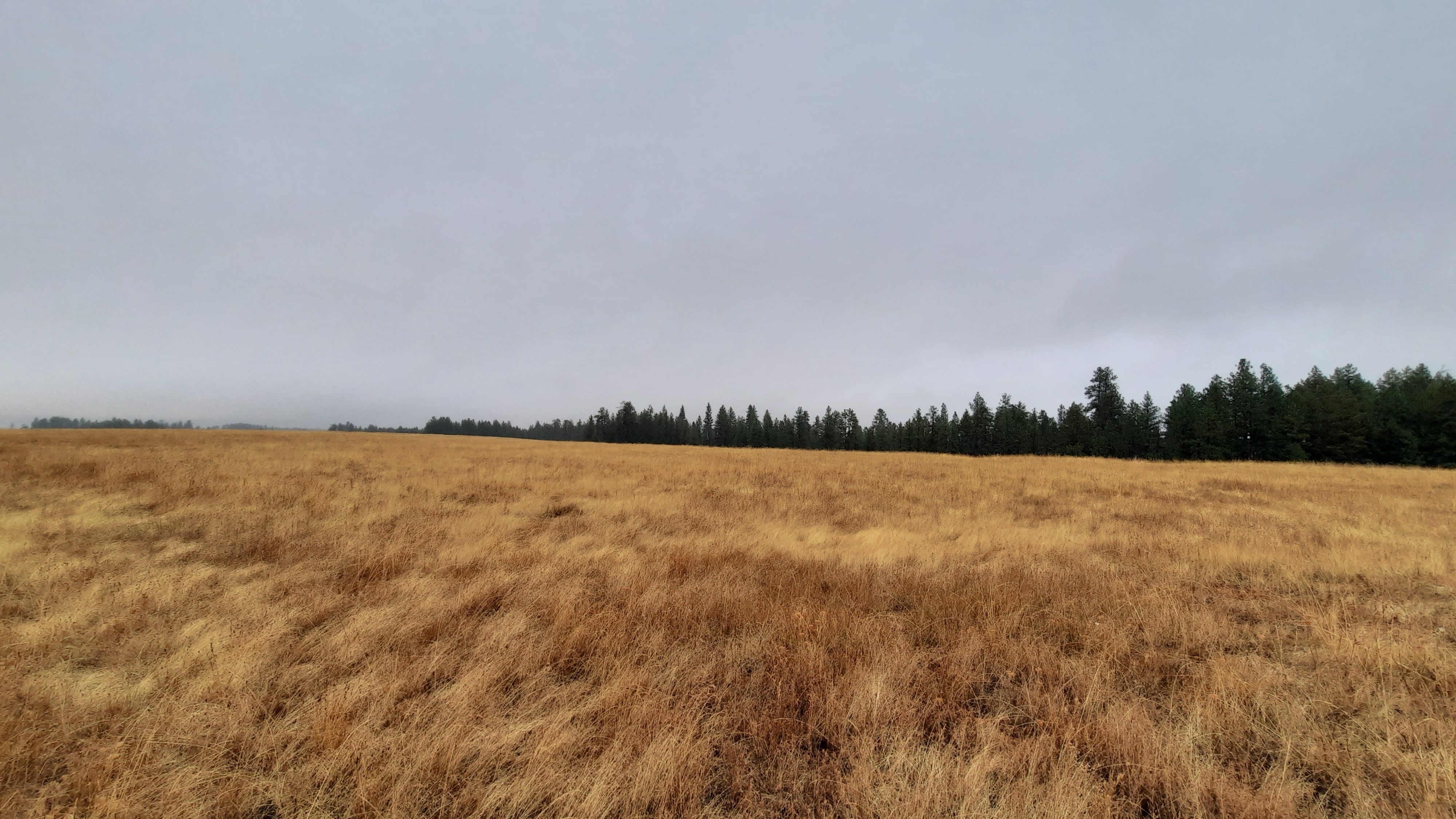
Morning was clouded up, and I was excited for the prospect of a day without sun. Temps would be much cooler and good for hiking.
A gradual cross country section brought me to a pinch-point and I scouted around a bit to find a good way down, twisting my ankle in the process.
“Walk it off,” we say, and that works…sometimes.
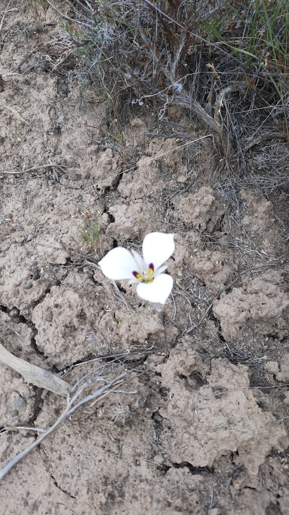
With the uneven and rocky weaving around sagebrush and the odd white mariposa lily, walking through cheatgrass just dried out enough to start sticking in my socks, but protected by my gaiters for just that reason, I found I wasn’t walking it off. I was slowly and methodically watching each footstep so I didn’t repeat the twist, and the ache remained.
Then road! But a rocky one, so the attention now went to avoiding the fresh cow pies. Oh yeah, the cows are out, and we are all going the same place: water.
The road exits a dramatic cut in the ridgeline and descends to a fenced and quite lush looking reservoir with piped water into a cattle tank. Score! This set up can provide some of the best water if it’s piped from a spring – or a cattle-free source. (Note: the danger remains that it might be pumped from the dirty cow tank behind you. I filter or treat most water when I don’t see it coming out of the ground….maybe thats just because I do so much hiking in cow country.)
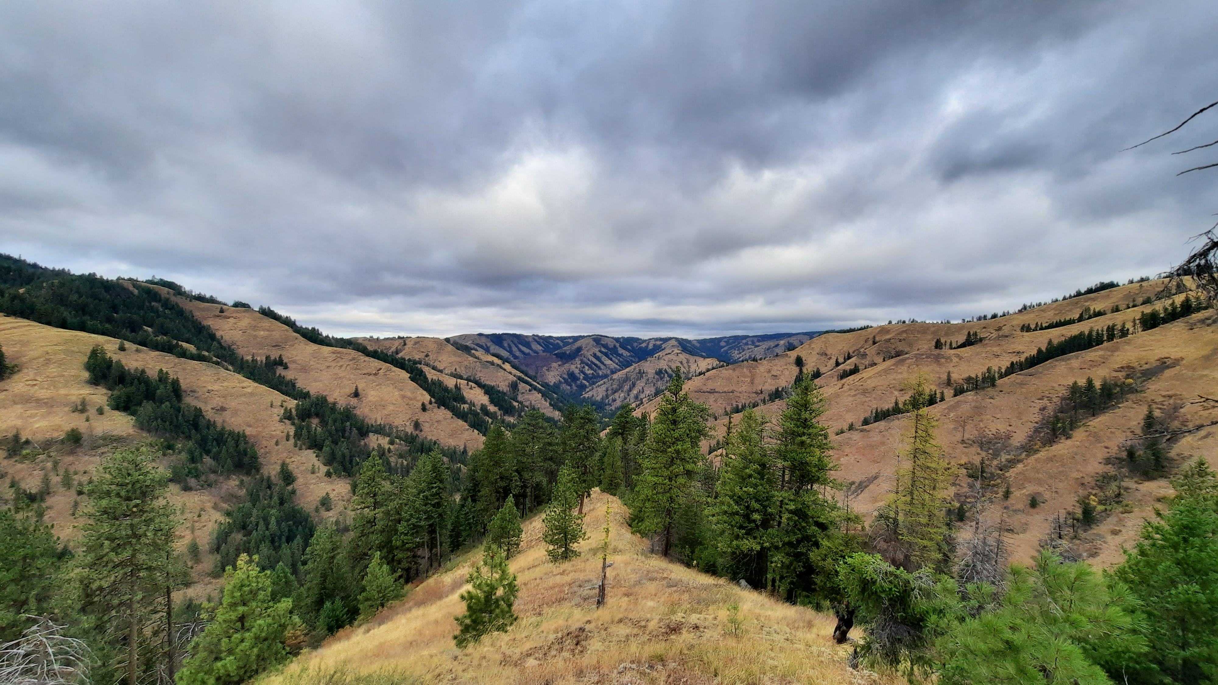
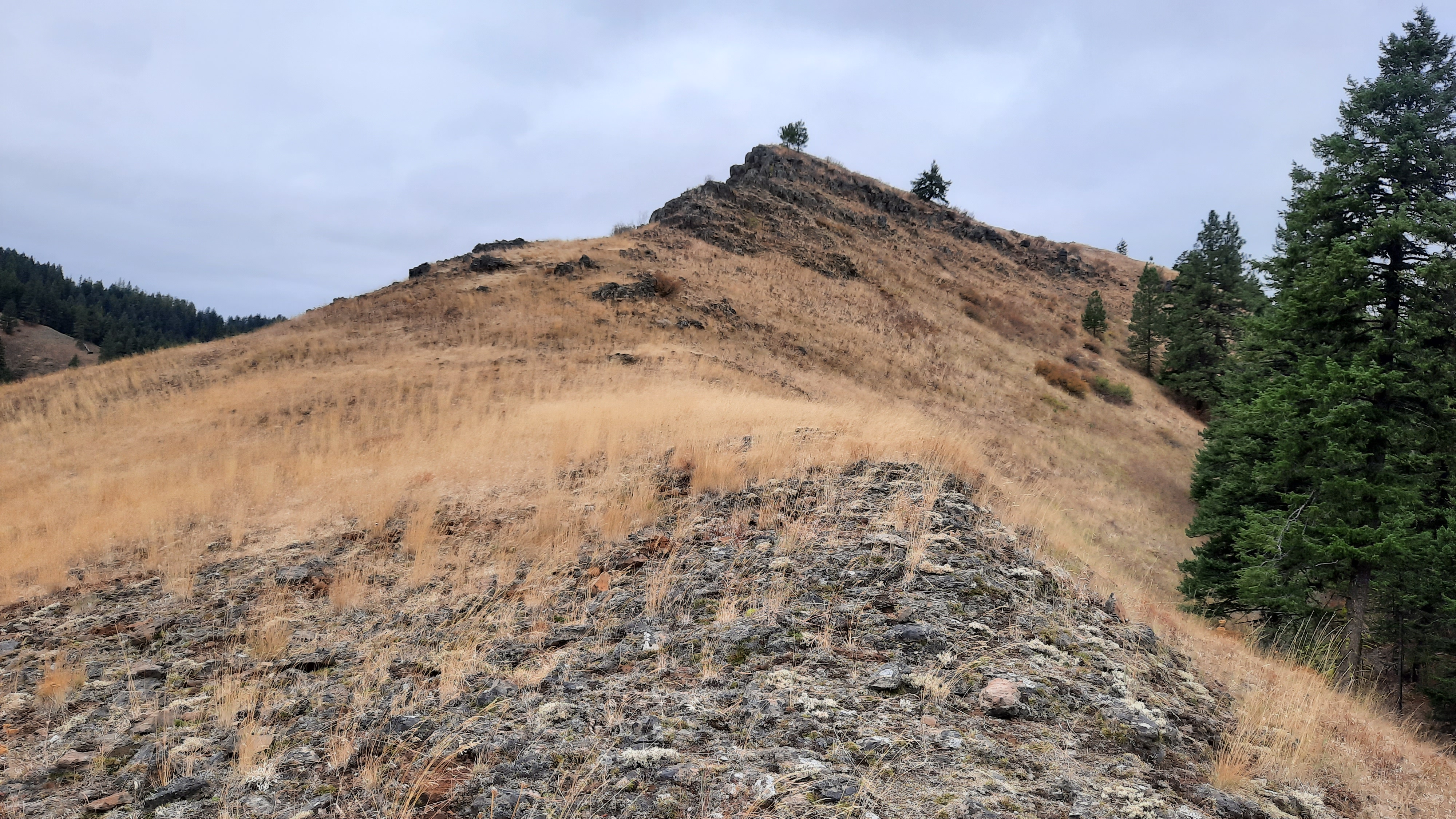
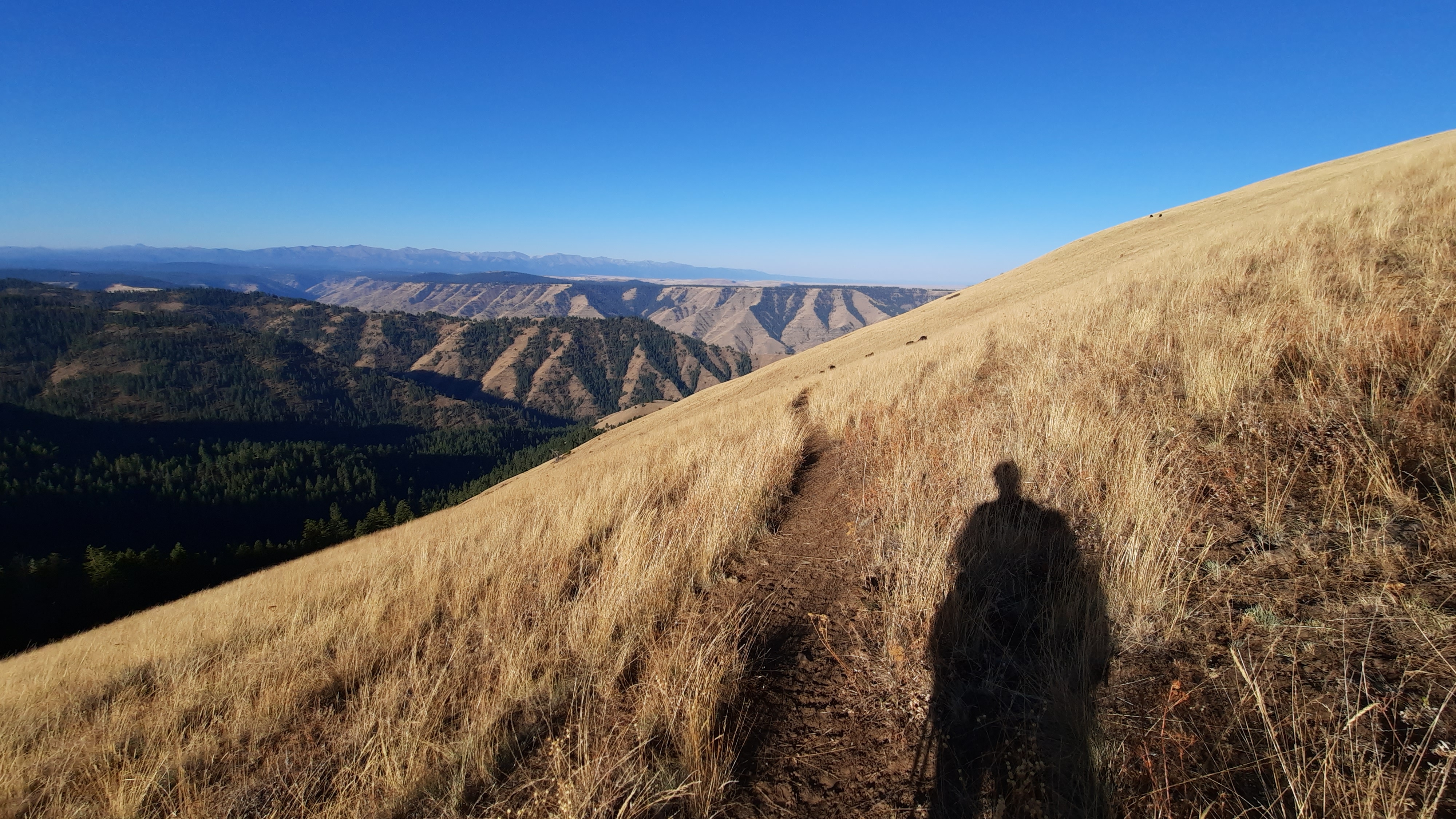
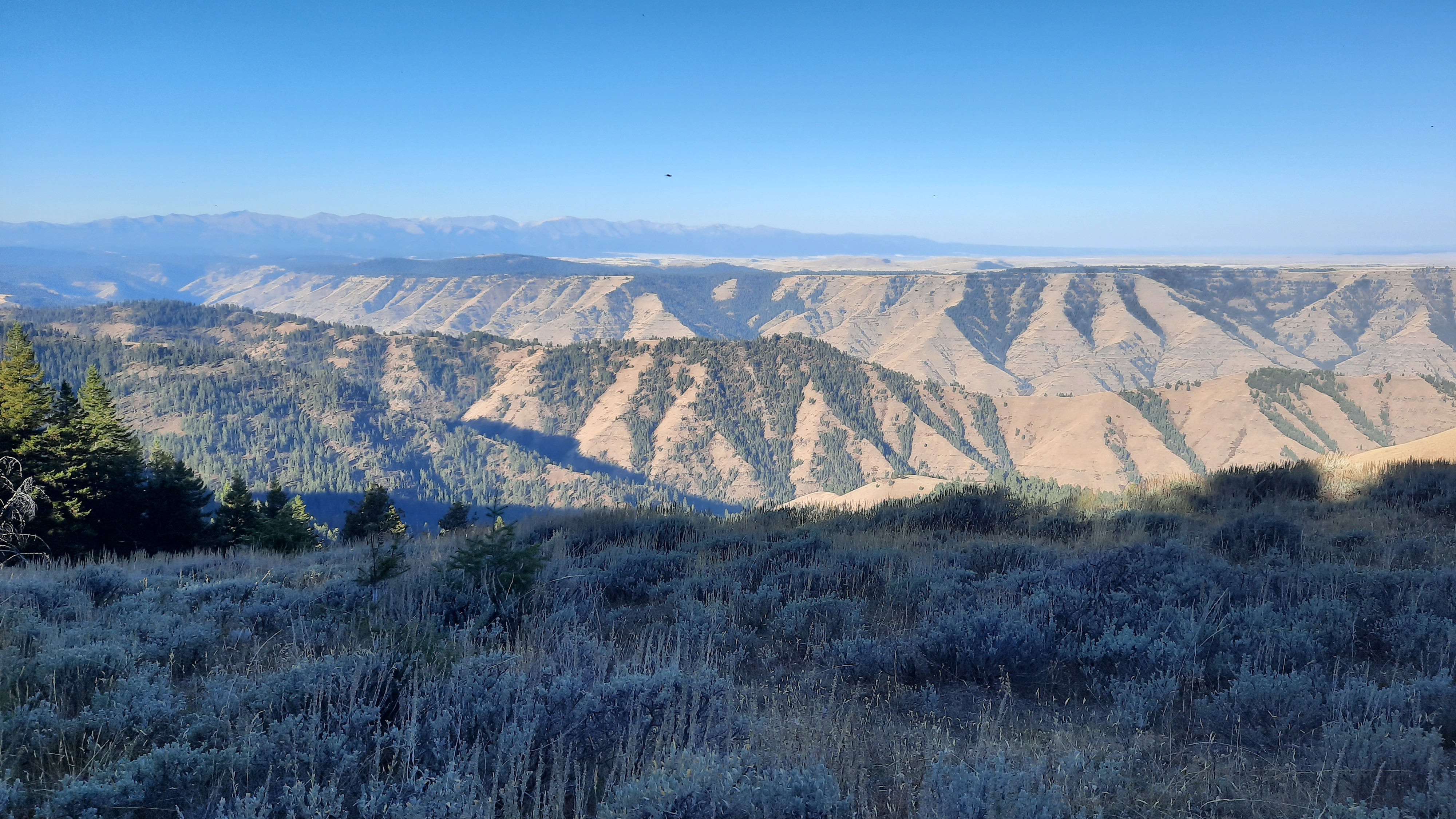
Back to roads. I walked slowly up towards the top of something again. Basin and range: true sagebrush steppe walking. Except for the road that disappeared into the folds of sagebrush as far as the eye could see, it was unbroken.
The sun never came out and I walked happily under the bluish-gray moody day.
And then: a cattle truck. I knew I might run into a rancher or two with all the mooing on the landscape, but this one was really far away, I wasn’t quite sure until I got closer…thinking it could all be a mirage.
Then…a rider on horseback racing up the grade of the next climb. The human is going home.
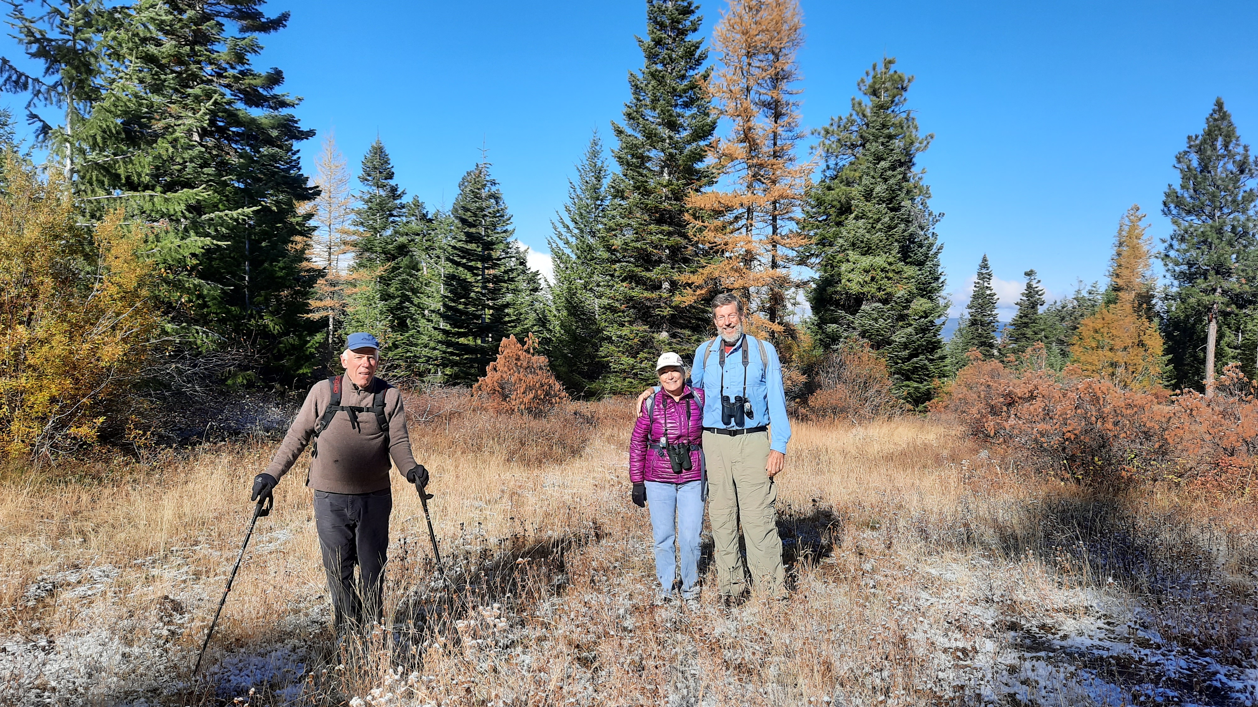
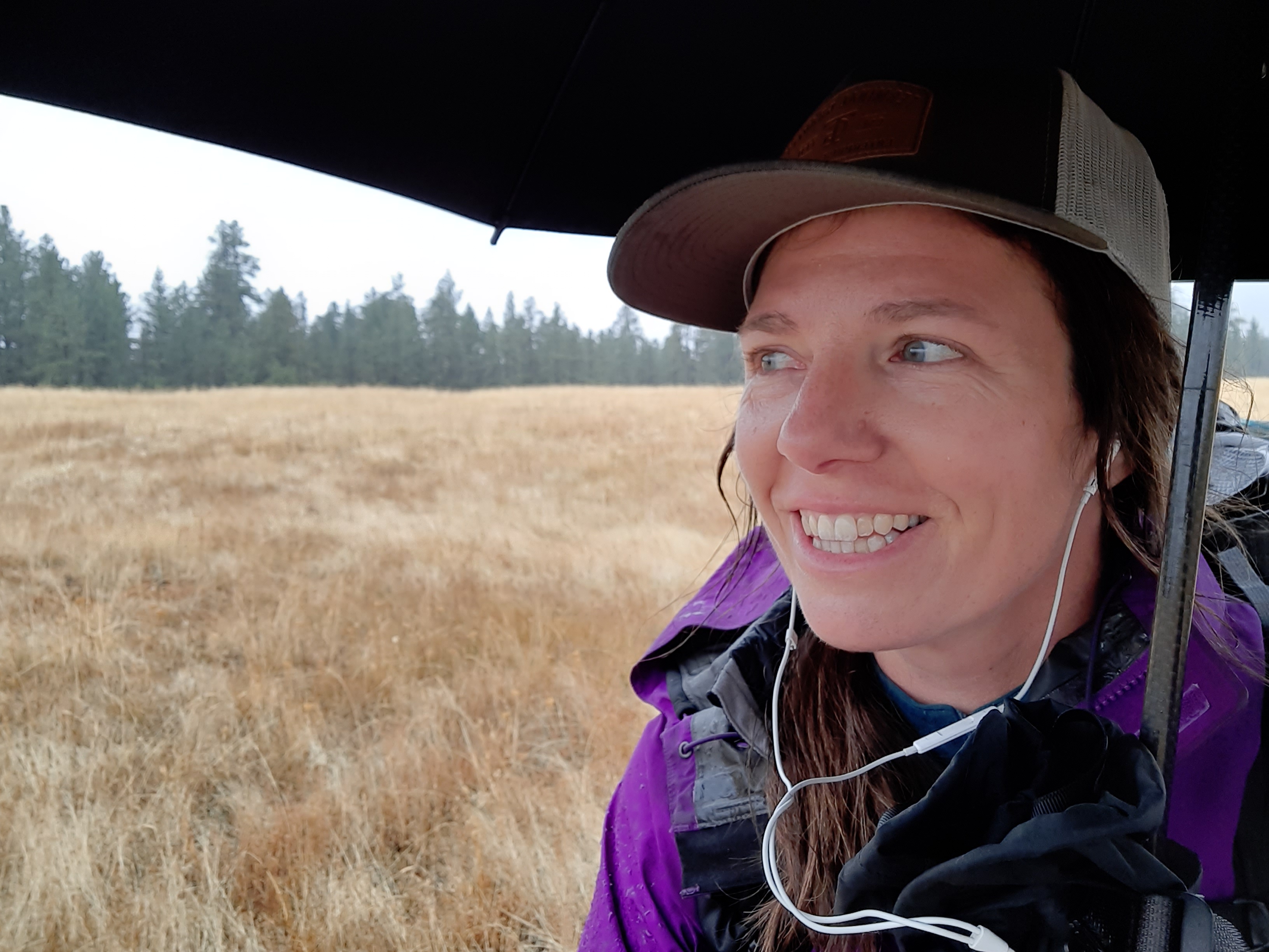
I am pleased that I’ll have my solo bubble intact for this 24 hours. It’s been a while since that has happened.
Another creek, and then camp. The birds are chirping away and I set up expecting a bit of rain overnight.
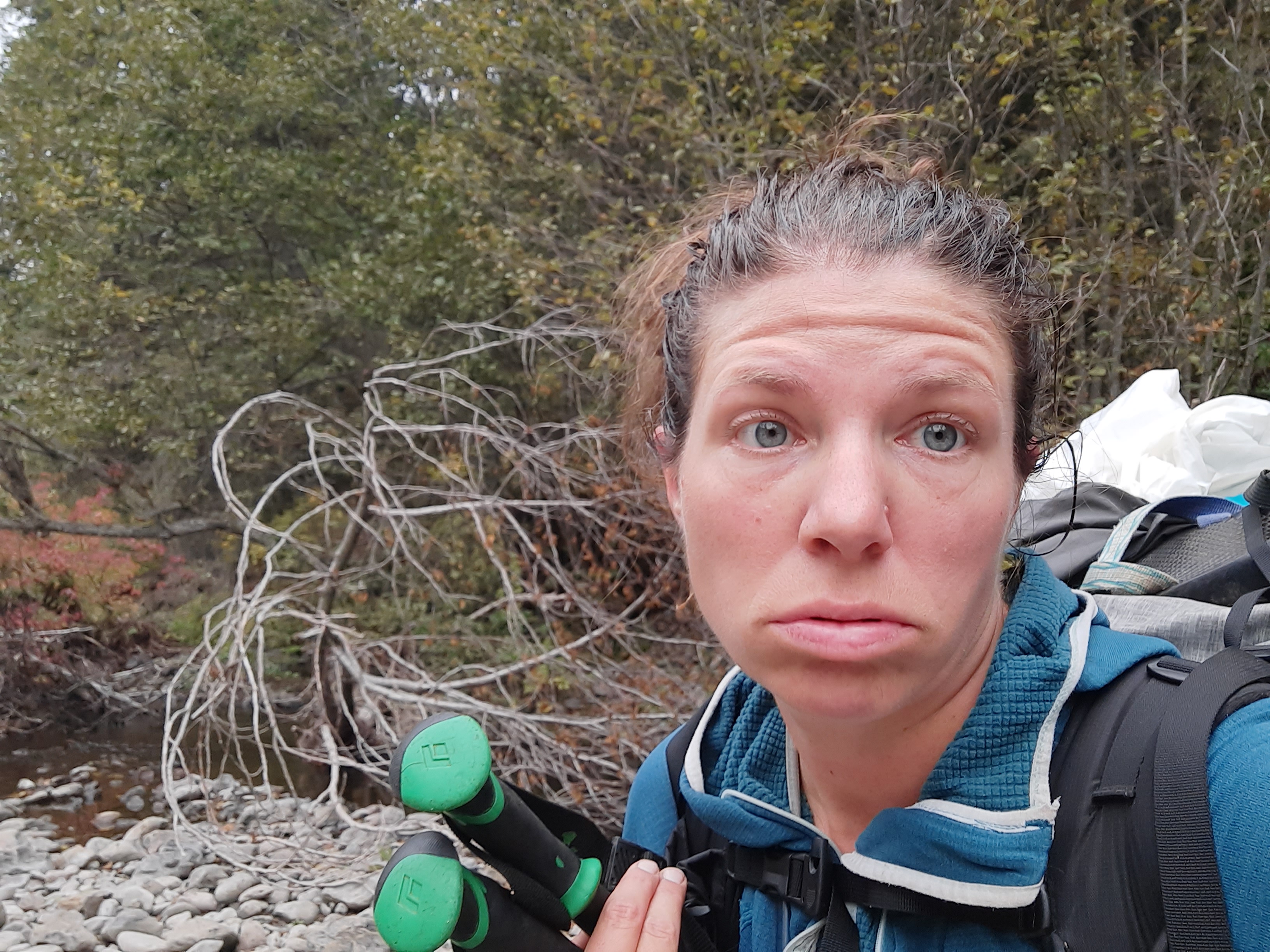
Shake off the time between my last solo backpacking trip and now. Those months have been filled with one unsettling event after another; my sweat is toxic with them the first day.
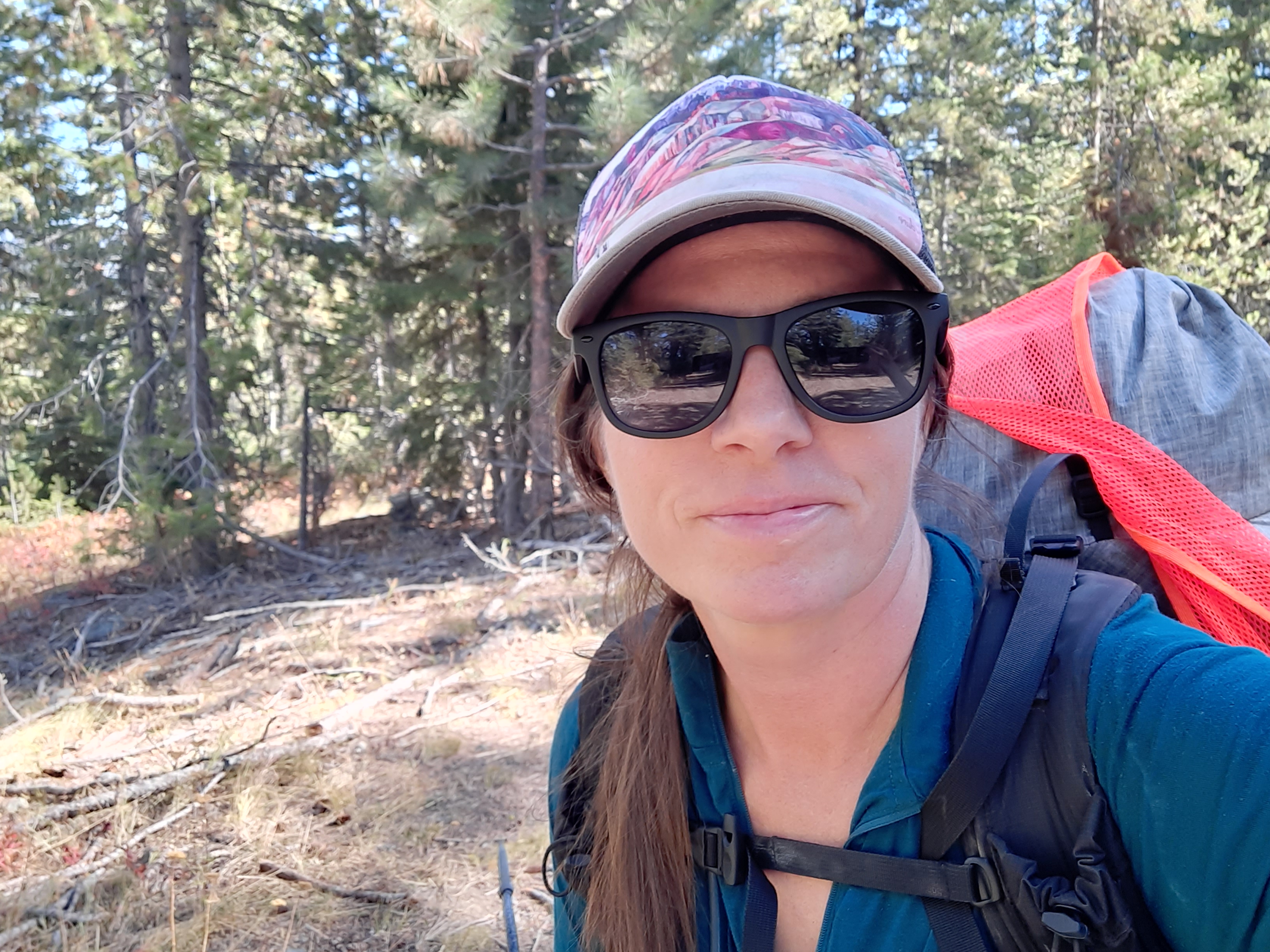
I am headed into the desert with modest but exciting goals: hike 10 miles a day, find water, and piece together some dirt roads stitched with cross country sections. Why? To groundtruth ideas I’ve had about linking together the Oregon Desert Trail in the Owyhees to the Blue Mountains Trail in the Strawberry Mountains, a personal plight…you might say for curiosity’s sake.
June provided a rare mild week right before summer solstice. Add in some well-deserved time-off after a week of work in the backcountry, and I had the time and good weather for a solo adventure.
This was also to be an experiment: can my rehabilitated planter fasciitis foot hold up to 10 miles a day for 5 days? I was optimistic, but am hedging my bets by going slow and stretching constantly. Oh, that, and the stick roller in my pack.
It was a shakedown hike!
I leave for the Appalachian Trail in a few weeks, so am testing my gear setup for the first time. Bits and pieces of gear always change between long trails. Each trail has it’s own gear needs, and I was preparing for hot and humid and maybe rainy weather.
I couldn’t possibly replicate those conditions in the dusty and scrubbed desert northwest of Lake Owyhee State Park, but enough pieces were in place for me to realize I was packing way too many clothes. It will take a while to dial in my AT pack…but with many options to ship things home or have Kirk send them ahead to me on the trail, I was giddy with excitement at how different a hike on the AT will be. I’ll find actual trail, people, (lots and lots of people), towns, different ecosystems and geology, trail angels all over the place, shelters, lots of water, lots of shade, lots of memories.
20 years ago from March 20 to August 22 I called the Appalachian Trail home, and I will be going home again for 2 months.
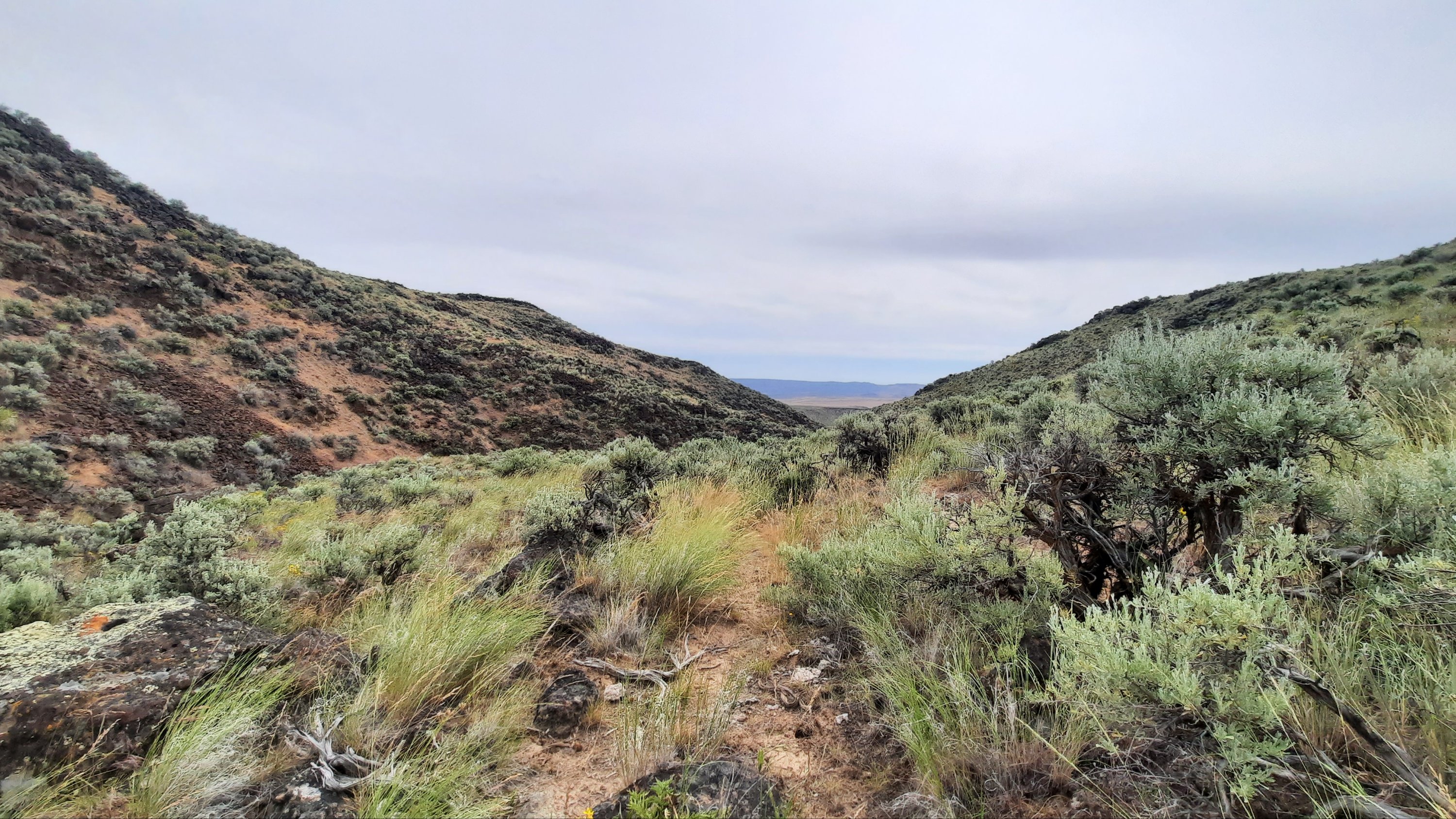
But back to the sagebrush sea.
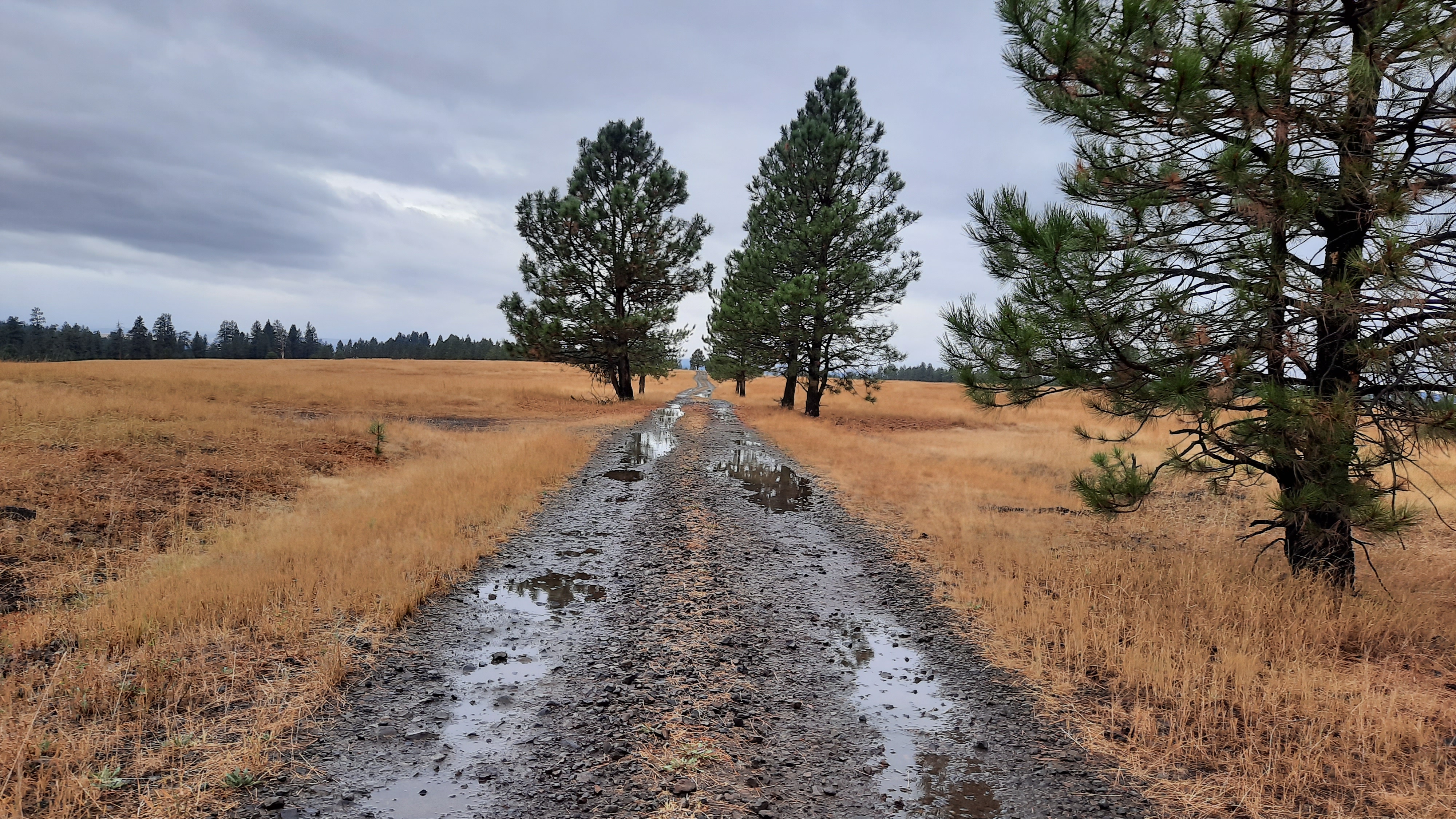
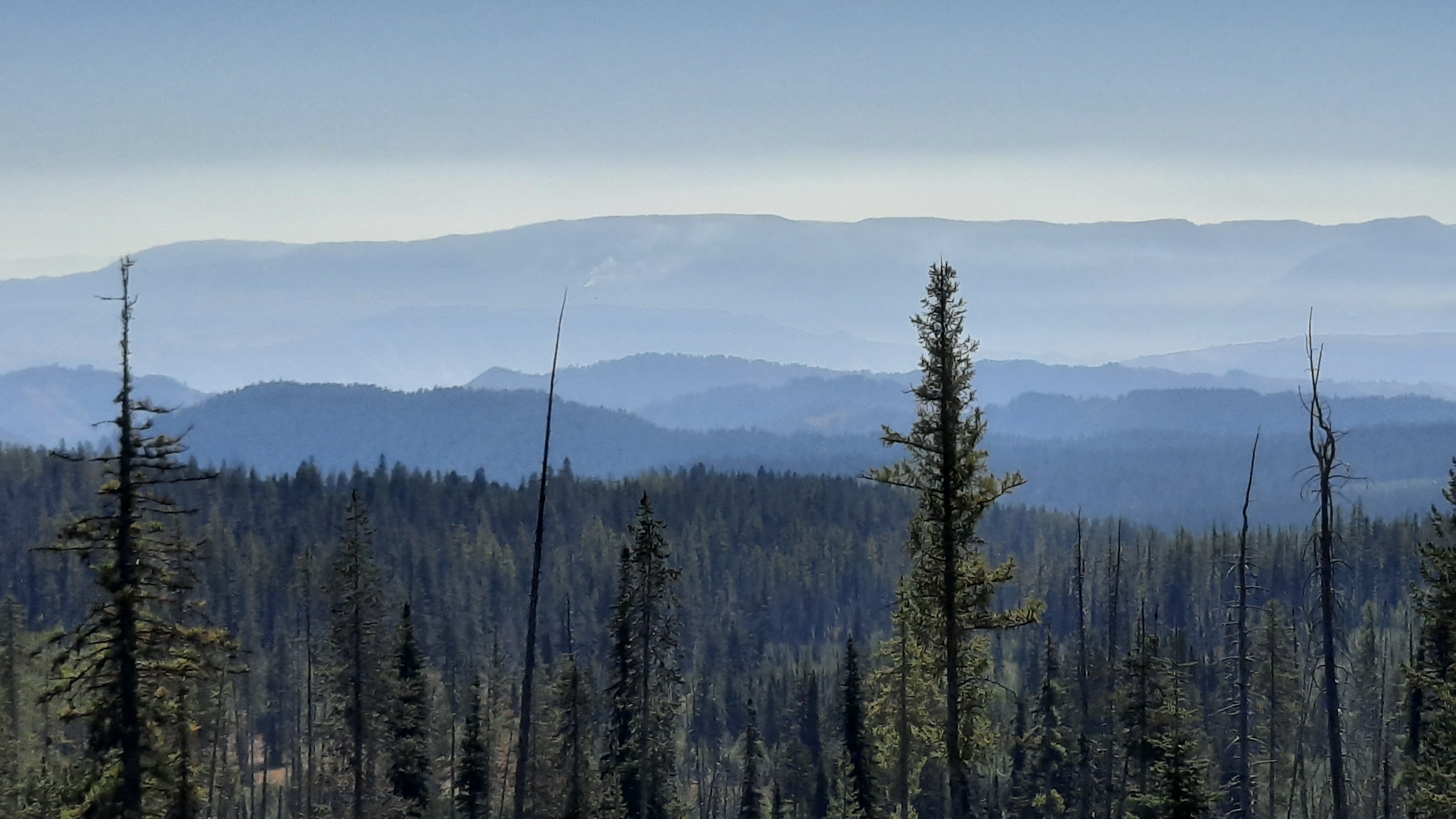
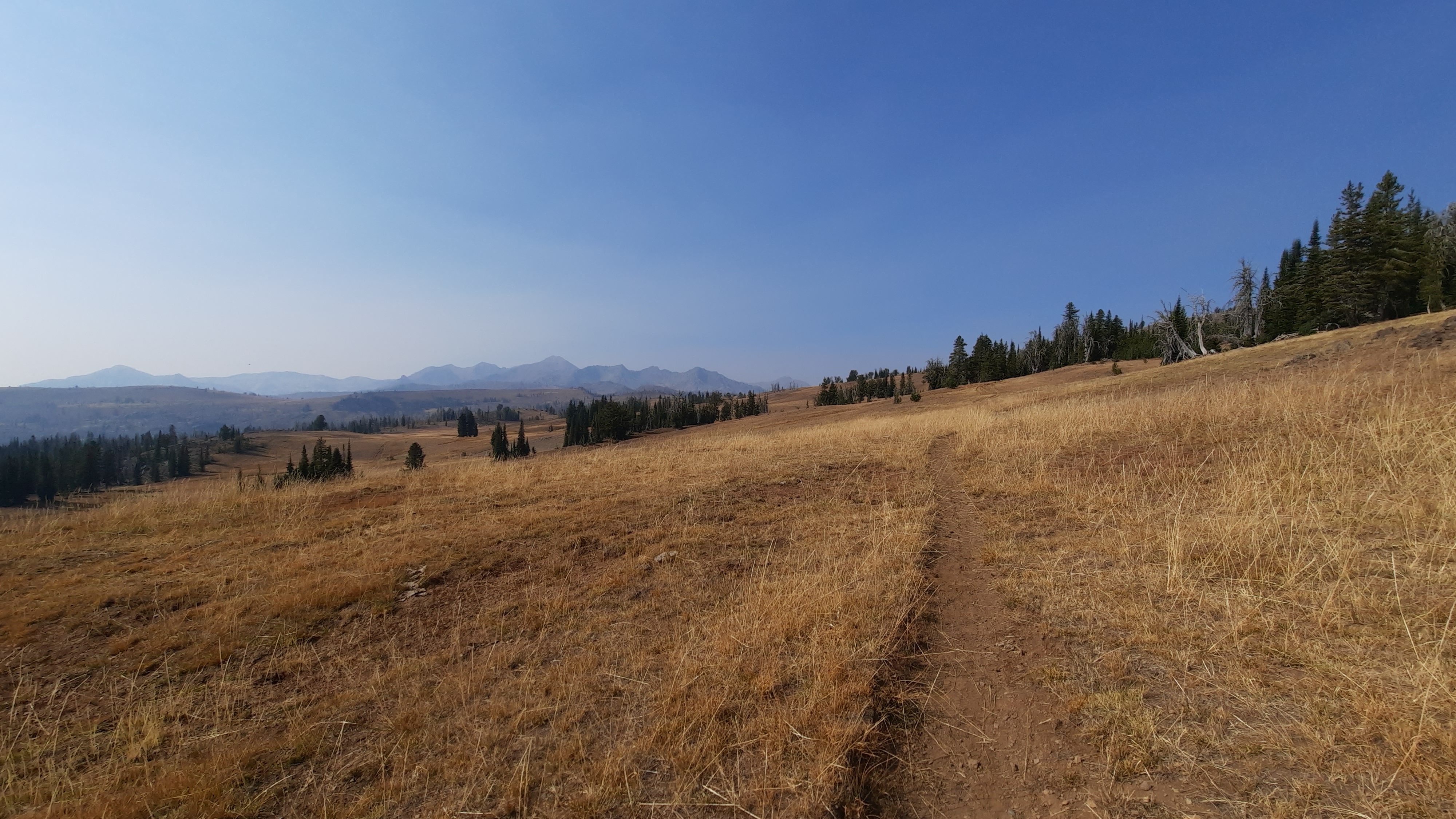
I wandered 10 miles on rocky dirt roads that hadn’t seen any traffic in weeks if not longer. These roads are my favorite. They are everywhere in the desert and take you to water, cool things, and they are usually too rough to drive, so walk them!
Many many miles are like this on the Oregon Desert Trail. Sometimes they are whispers of a former road and you have to read the contours of the ground in front of you, and look for the ghosts of missing sagebrush. Last weekend when I was backpacking with my volunteers up into the Trout Creek Mountains, we turned onto one of those roads and the spaces where the road had been was filled with flowers. There are so many flowers in the desert right now!!! Our very rainy and snowy spring is soaking the ground frequently, so I’m hiking with great optimistim that the water marked on the map will be there…I also viewed the potential water sources on Google Maps…the detail in the satellite imagry is downright astonishing.
Even when I take my time it doesn’t take me long to hike 10 miles, so I need to purposefully slow down, take epic long breaks, linger over coffee, and read one of the 4 books I brought with me (3 digital of course!).
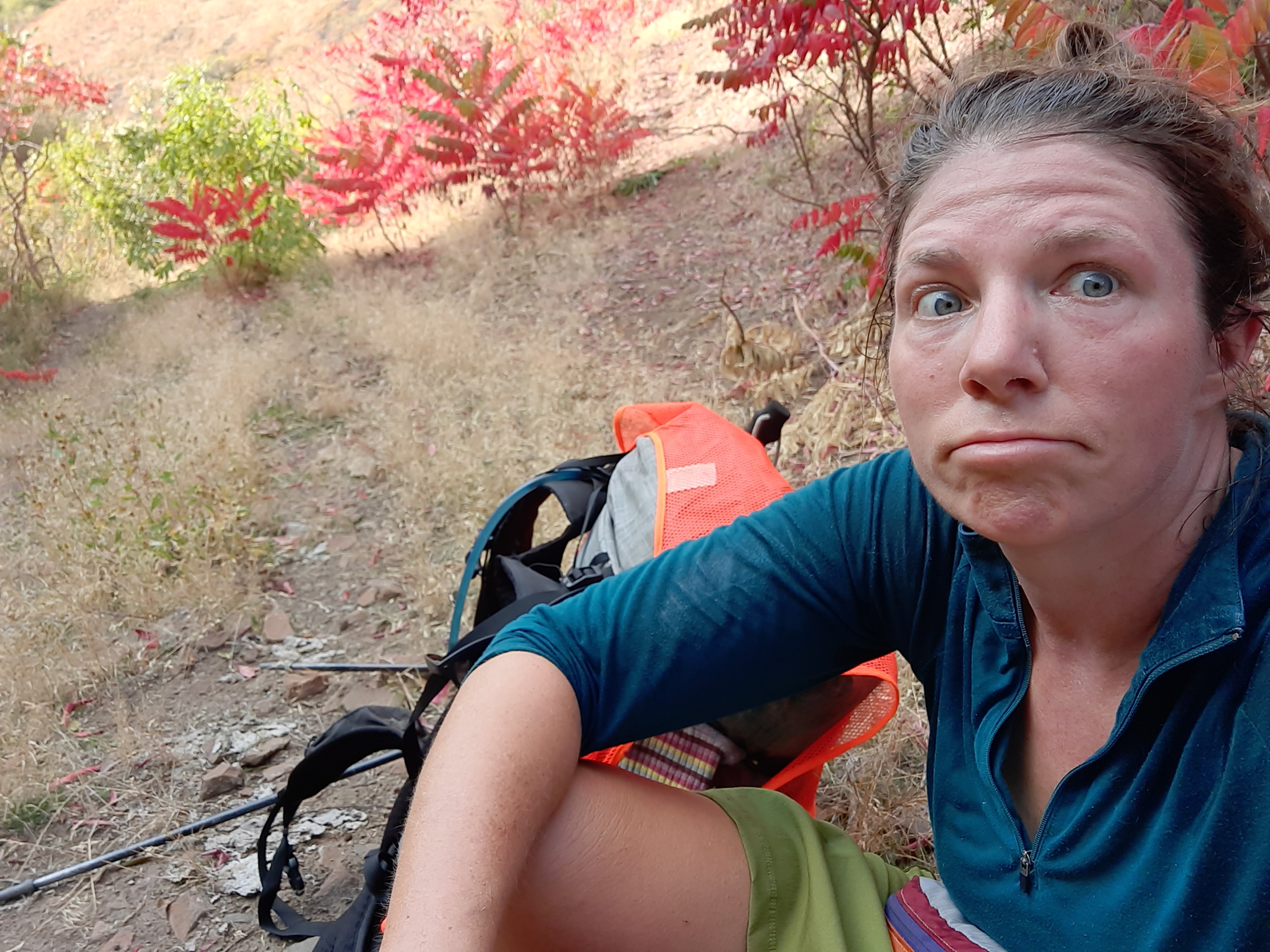
It’s a vacation hike! A belated birthday hike? I turned 45 on that volunteer trip last week, I ate cake with 20 people in the desert, which was amazing, but now I was treating myself to a little hike.
I intensly enjoy walking through the folds of the earth and knowing with 96% certainy that I won’t see any other humans. I am of this place and sometimes I feel this most intensily when I am alone.
Bring me back to the present, here and now. That’s what backpacking is good for. And I was brutally reminded of this when I stepped shin-deep in a mud-cow pie wetland at a desert spring. The rare desert nectar was stomped to death by their large, thirsty bodies. They wallowed in this spring, so I’m definitely filtering and treating it. 100% fecal contaminated.
Fence all the springs please!
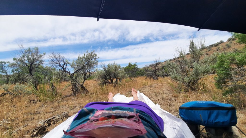
Back to it: the walking was hot, I deployed my sun umbrella much of the afternoon, and my pale and pasty legs turned red in my new purple rain adventure skirt.
Breaks were taken in the old roadbed where my footprints joined those of deer, pronghorn, and cows, i was all spread out on new and crinkly tyvek.
It will take me at least a day to sweat town away, maybe longer. I have 5 days. Happy birthday to me!
I was thrilled to be asked to give the keynote speech at the May 8 fundraiser for the Greater Hells Canyon Council. The evening was a smashing success, and raised many thousands of dollars to support their work to connect, protect, and restore the wild lands, waters, native species and habitats of the Greater Hells Canyon Region in north eastern Oregon (and establish the Blue Mountains Trail!)
The speech was recorded ahead of time and you can now watch from the comfort of your couch, lawn chair, or tent (if you are so lucky.)
Did you miss our group presentation about the Blue Mountains Trail last week? Watch it here:
The next one is coming up tonight with the Oregon Outdoor Alliance. This will be a different type of presentation, more of a panel discussion where we cover such issues like: How do you think a long-distance trail is uniquely poised to make the connection between recreation and conservation?
I’ve had a long involvement in the Oregon Outdoor Alliance. In 2014 I joined the steering committee as the group was just getting started with some local Bend outdoor industry folks like Van Schoessler, Pam Stevenson, Gary Bracelin & Rob Little. I offered to design the first logos and website, and served on the board until a few years ago.
So join us! Should be a good time.
Next up: I’ll be giving the keynote presentation at the Greater Hells Canyon Council’s annual fundraiser: Hellraiser on May 8. This is a virtual event, and will focus on all the good work we’ve been doing to establish the Blue Mountains Trail.
Look for some great auction items you can bid on (and help us raise money to make the Blue Mountains Trail a reality)…there just might be an opportunity to bid on a hike with me on the BMT this fall…just saying!
More to come…the Blue Mountains Trail is taking off…there is lots of work to do, but lots of ways to get engaged, so sign up for the May 8 event and learn about all the ideas and plans we have in store.
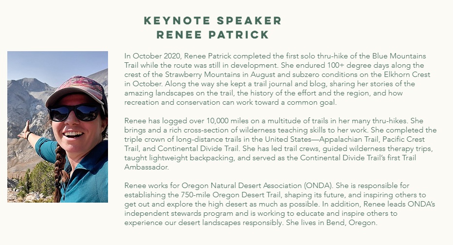
Renee Patrick started her epic walk through the Blue Mountains in the sweaty heat of July, and she finished it amid the nostril-freezing chill of an alpine autumn.
Along the 566 miles of hiking in between, Patrick was at turns challenged, enlightened and even awed by the eclectic landscapes of Northeast Oregon.
She also made history.
And now, a few months after she finished her trek, Patrick is helping to promote the Blue Mountains Trail, a route she and other proponents hope will join the ranks of America’s other long-distance wilderness paths.
“It’s fun to be at the beginning of an effort like this that people are excited about,” Patrick said in a Jan. 14 phone interview. “It’s exciting for the eastern half of the state to have more recreational opportunities. Northeast Oregon is not well-known, even by a lot of Oregonians.”
Although the current version of the Blue Mountains Trail is new, the concept dates back more than half a century.
Loren Hughes, a longtime La Grande jeweler who died on Jan. 29, 2016, envisioned a long hiking route through the Blue Mountains as far back as 1960.
Later, Hughes and Dick Hentze, who taught elementary school in Baker City from 1970 to 2000, conjured the idea of the Blue Mountain Heritage Trail.
Hentze, who moved from Baker City to the Eugene area in 2014, died on Aug. 8, 2020.
Mike Higgins of Halfway said in a Jan. 14 interview that he became involved with planning the trail in the 1990s along with Greg Dyson, director of the Hells Canyon Preservation Council.
(The organization, based in La Grande, was renamed as the Greater Hells Canyon Council in 2017, its 50th anniversary.)
“The route was much different then,” said Higgins, an advisory board member for the Greater Hells Canyon Council.
The previously proposed trail was a loop that covered about 870 miles.
Among the notable differences, the current route — the one that Patrick helped pioneer with her hike in the summer and fall of 2020 — is point to point rather than a loop, with Wallowa Lake State Park at the northern end and John Day at the southern.
“The current route to me is a lot more attractive,” Higgins said.
In particular, he appreciates that the Blue Mountains Trail passes through all seven of the federal wilderness areas in Northeast Oregon — Eagle Cap, Hells Canyon, Wenaha-Tucannon, North Fork Umatilla, North Fork John Day, Monument Rock and Strawberry Mountain.
Higgins said he believes this concept, so long in the making, finally has momentum.
“I think it’s going to go this time,” he said. “Jared is going to make sure it goes.”
“This is an opportunity for people to get a much better idea of the landscapes of the Blues,” Kennedy said in a Jan. 14 interview. “It really ties the region together.”
But when it comes to connections, no amount of conceptual planning or pondering of maps can replace the actual experience of hiking the route, Kennedy said.
That’s why the efforts of Patrick and a separate group of three hikers were so vital.
That trio — Whitney La Ruffa, Naomi Hudetz and Mike Unger — hiked the entire Blue Mountains Trail during September.
Patrick said she exchanged information with the three other hikers about their experiences, particularly any problems they encountered with navigation, distances between water sources and other matters important to future hikers.
Now that four people have negotiated the route, Kennedy said he has a much better idea of the trail’s attributes — and its problems.
Although it’s called a trail the route does include several sections on Forest Service roads, although most of those are little-traveled roads in remote areas, Kennedy said.
There are no plans to propose the construction of any new trail, he said.
With so much new data to digest — including GPS waypoints and other digital details — Kennedy is striving this winter to make the trail’s website more informative.
His goal is to have an online guide for hiker-ready sections of the Blue Mountains Trail, including maps, by spring, in time for the prime hiking season.
“Prime” not necessarily being a synonym for “perfect” in this case.
Kennedy points out that the window for hiking the entire Blue Mountains Trail is a relative small one, although he acknowledges that the vast majority of hikers will only attempt sections rather than trying to cover all 566 miles in a single trip or even a single year.
The reason is elevation.
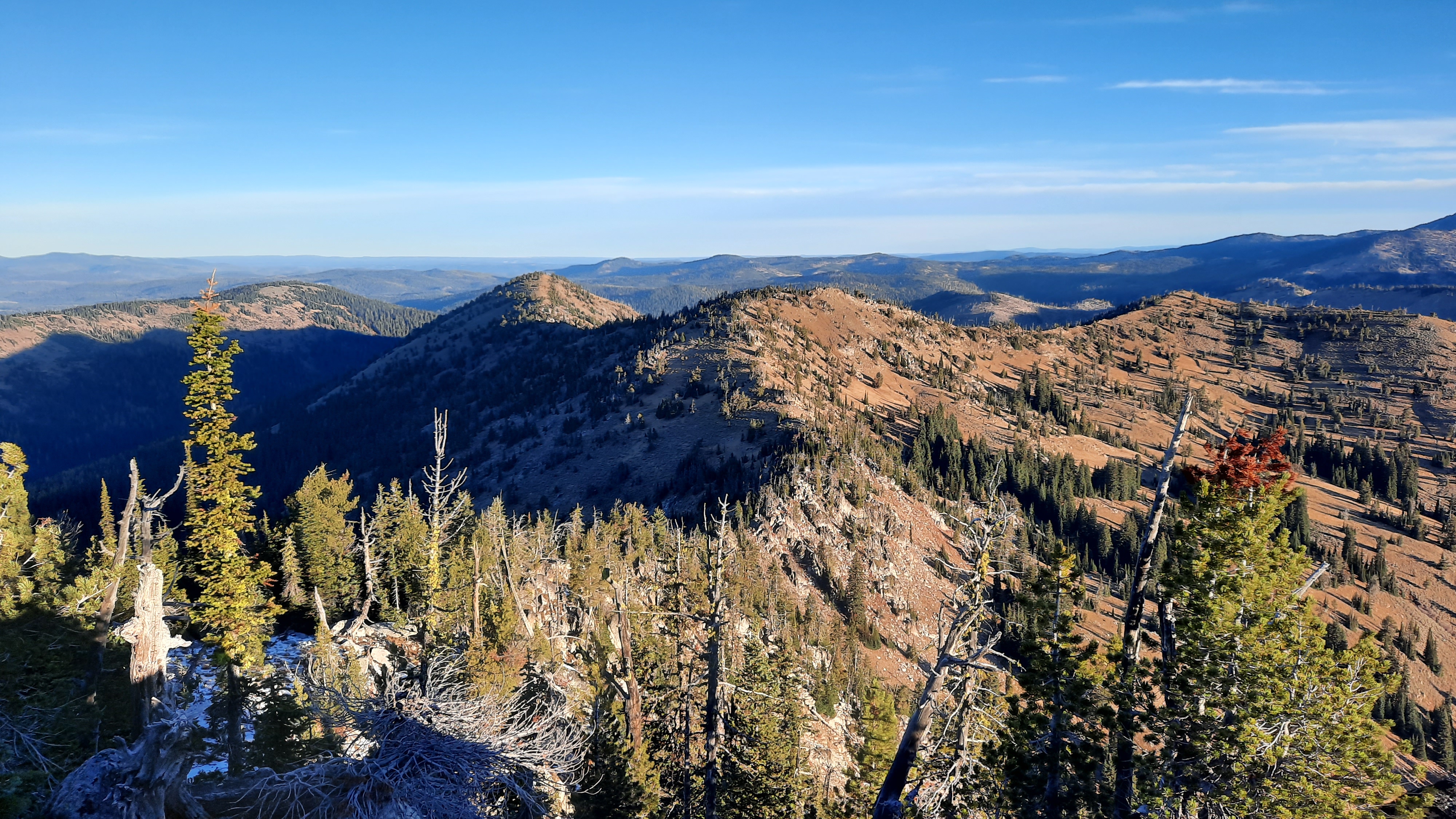
The trail samples each of the higher ranges of the Blues, including the Strawberrys, Elkhorns, Greenhorns and Wallowas. Sections of the trail in those areas climb well above 7,000 feet, and in places are reliably free of snow only during August and September.
Yet the trail also descends into Hells Canyon, where summer temperatures regularly exceed 100 degrees.
Given that even an experienced long-distance hiker is likely to need 30 to 45 days to complete the entire trail, a start in July or early August would be the most plausible, both to avoid deep lingering snowdrifts from the previous winter, and the first storms of the next.
But a midsummer start has its own potential challenges, as Patrick discovered.
She began her journey at John Day in August. The temperature was 99 degrees. And the first day included a stint on a freshly blacktopped road (a rare paved section) and a 4,000-foot climb over 7 miles, among the more difficult ascents of the entire route.
Patrick said she took a break during the hottest part of that day and finished the climb in the comparative cool of the evening.
Her schedule allowed her to hike for only a week in August. She covered the 110-mile section from John Day to Austin Junction, where Highways 26 and 7 meet, about 50 miles southwest of Baker City.
Although that’s a longer trek than most hikers will ever attempt in a single trip, it’s little more than a jaunt by Patrick’s standards.
Few people can match her hiking resumé.
Patrick has thru-hiked — completing an entire trail in one year — America’s “triple crown” of long-distance routes, the Pacific Crest, Appalachian and Continental Divide trails.
The cumulative mileage of that trio of epic trails is about 7,800 miles — 3,100 miles for the Continental Divide Trail, 2,610 for the Pacific Crest, and 2,100 for the Appalachian.
Patrick also helped to pioneer the Oregon Desert Trail in the state’s remote, sagebrush-dominated southeast corner. She hiked the 750-mile route in 2016, the year after she was hired as Oregon Desert Trail coordinator for the Oregon Natural Desert Association in Bend, where she lives.
At 566 miles, the Blue Mountains Trail isn’t terribly daunting for a hiker with as many miles on her boots as Patrick.
But she said every route, regardless of distance, brings its unique challenges.
The Blue Mountains Trail, unlike the well-known and generally well-maintained Pacific Crest and Appalachian trails, includes several stretches that require hikers to “bushwhack” — find their own way across trailless (and roadless) stretches.
And although many of the trails and roads that comprise the Blue Mountains Trail are individually signed, there are no markers for this new trail itself.
“People need to be realistic about the challenges,” Patrick said. “It’s a great trail for section hiking, as a way to build your skills.”
Higgins, who helped La Ruffa, Hudetz and Unger during their thru-hike by meeting them at trailheads with boxes of food and other supplies, pointed out that the Blue Mountains Trail, because it is made up of so many existing trails and roads, has a multitude of access points.
And it features some sections that are easier to hike than others, such as the Elkhorn Crest National Recreation Trail west of Baker City.
“You can select sections that match your skill level,” Higgins said.
Regardless of where you hike, though, you’ll be surrounded by some of Oregon’s most spectacular scenery, Patrick said.
Among the sections that especially entranced her is through the Eagle Cap Wilderness south of Wallowa Lake. That’s where she started her second and final stint on the trail, in early October.
The Blue Mountains Trail follows the West Fork of the Wallowa River to Frazier Lake, then crosses Hawkins Pass and descends to the headwaters of the South Fork of the Imnaha River.
“I absolutely loved hiking in the Eagle Cap,” Patrick said. “That’s really an awesome section.”
She also appreciated that the route allowed her to trace a major river — the Imnaha — nearly from its headwaters below Hawkins Pass to its mouth at the Snake River in Hells Canyon.
The Blue Mountains Trail affords the hiker a similar experience with the Grande Ronde River.
“When you see it from the start to where it ends you almost have a relationship with the river,” Patrick said. “I really enjoyed that.”
The Blue Mountains Trail is also enticing for both its geology, which includes rocks more than 200 million years old, as well as considerably more recent cultural history.
Patrick said that while she hiked through the ancestral homeland of the Nez Perce tribe, including a section of the Nee-Me-Poo National Historic Trail, she listened to an audio version of “Thunder in the Mountains,” a historical account chronicling the Nez Perce being driven from the area in 1877 as white settlers moved into Wallowa County.
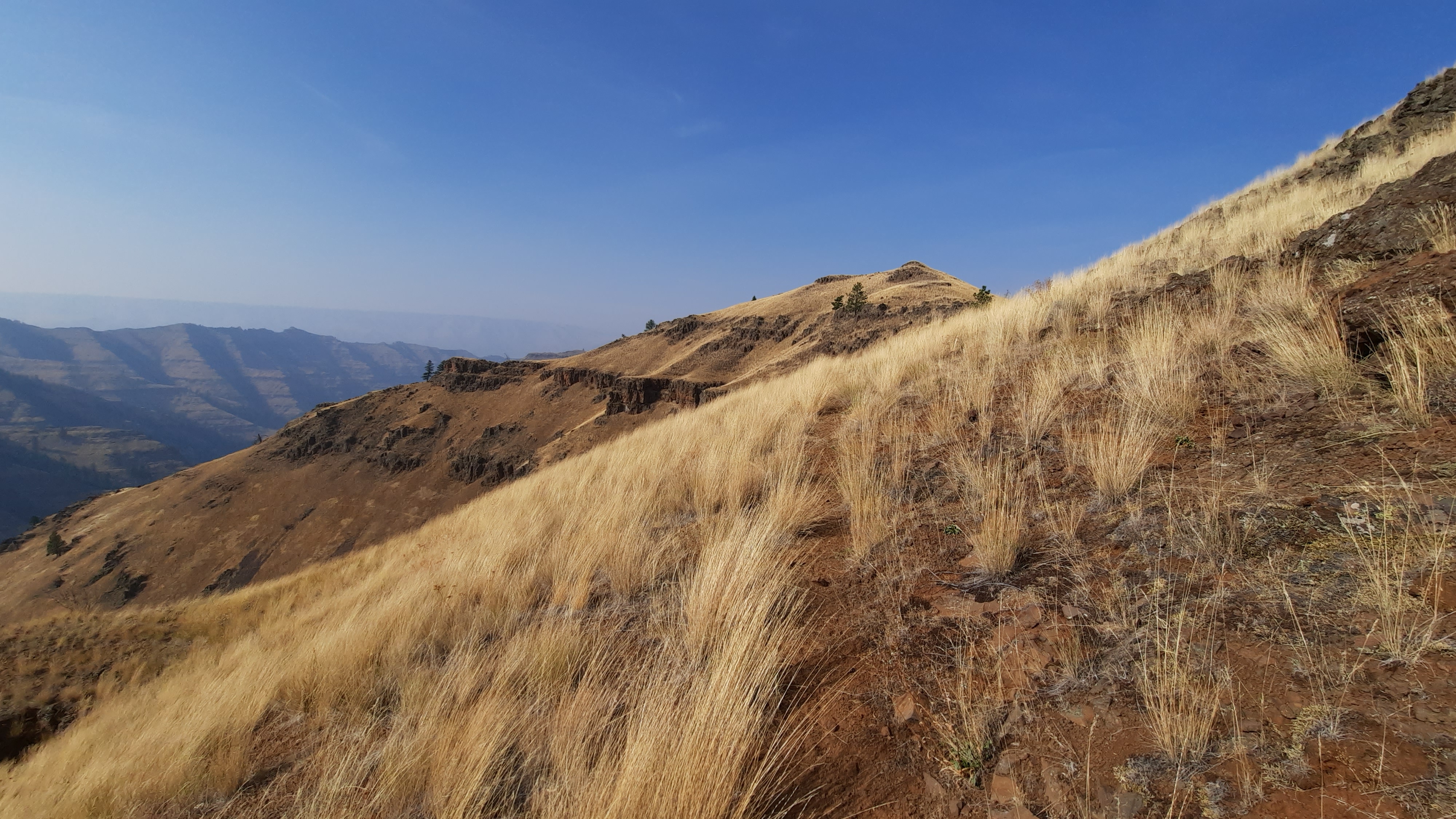
Patrick said the hike into and out of Joseph Canyon, named for Nez Perce Chief Joseph, was probably the hardest section of the Blue Mountains Trail.
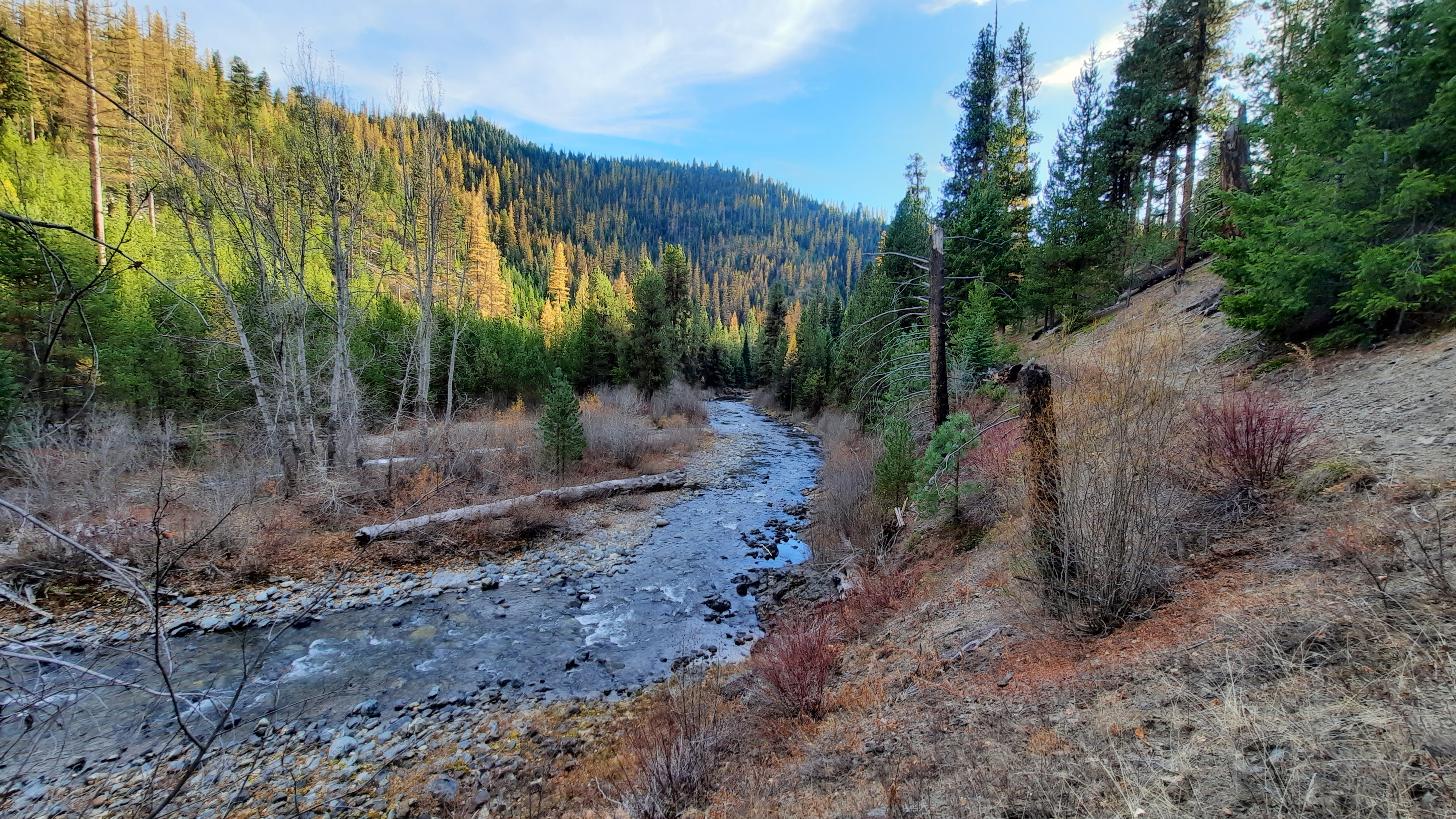
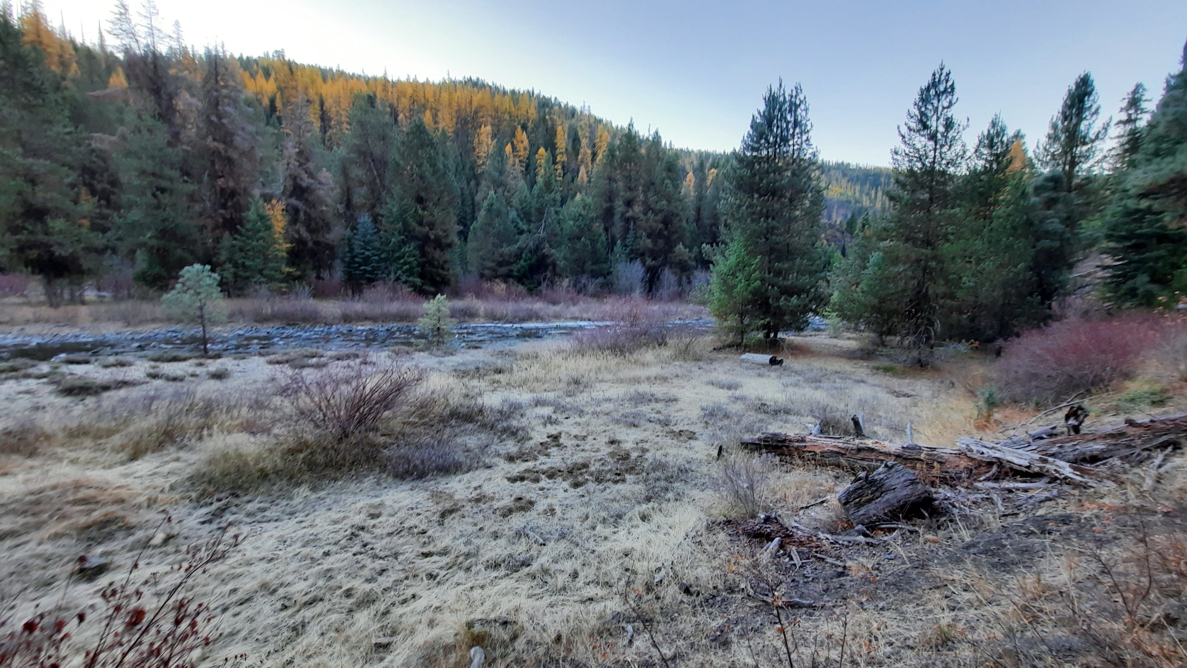
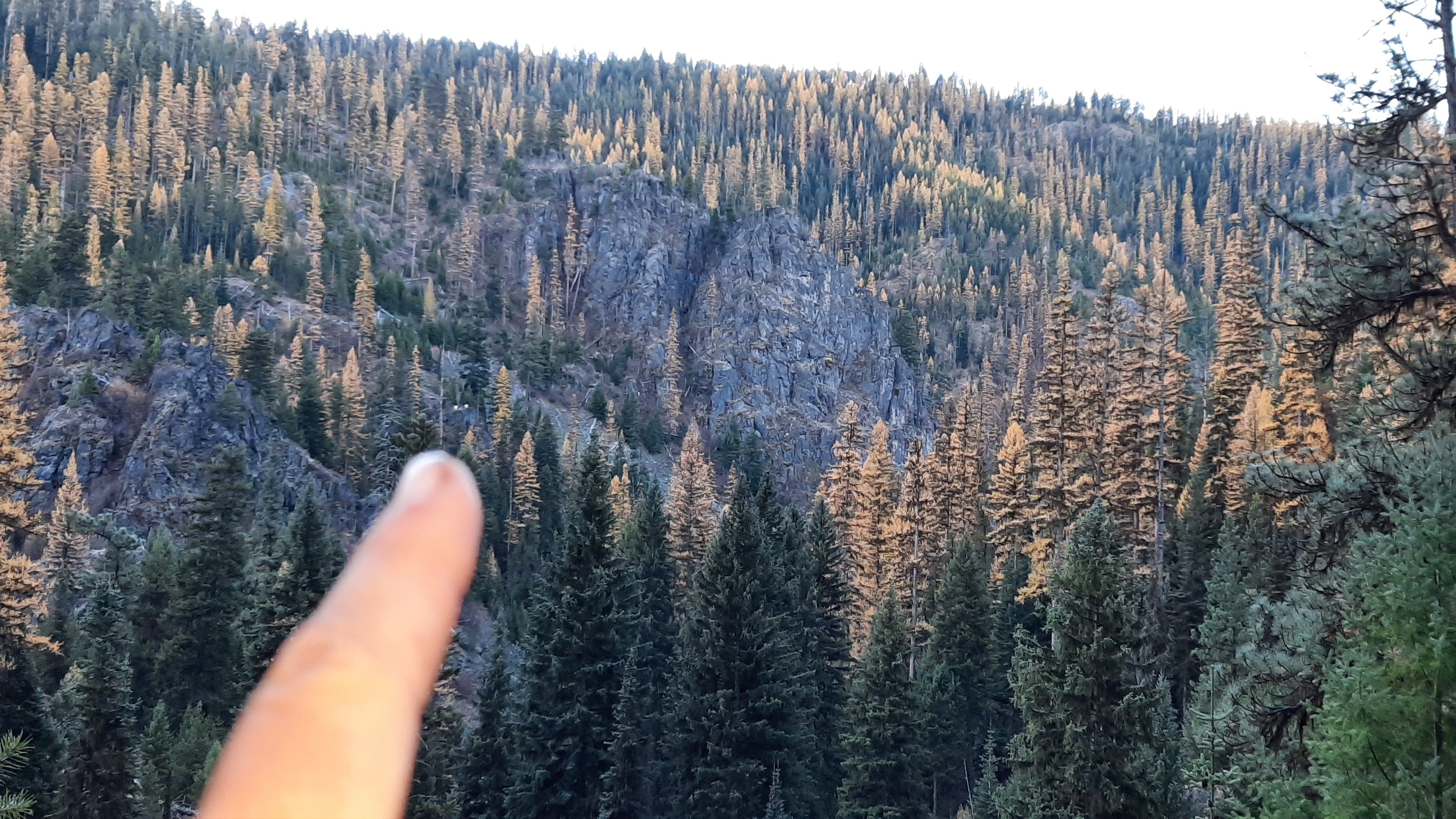
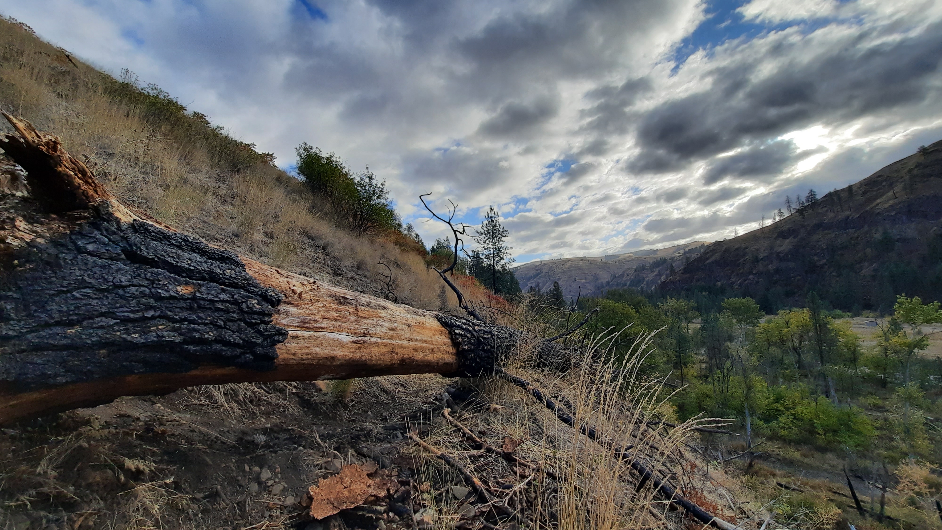
Among the other difficult sections were those where wildfires have burned in the past decade or so. That includes what was otherwise one of Patrick’s favorite areas, the Wenaha River Canyon, which she describes as “amazing” and “beautiful.”
“Fire has affected a lot of the trails,” she said. “Every year more trees fall. It’s on ongoing maintenance issue.”
Nor is fire the only threat to some of the trail sections that make up the Blue Mountains Trail, Kennedy said.
“There are many, many sections of trail that are way behind in terms of maintenance,” he said.
Not long before Patrick finished her thru-hike in late October, she hiked the Elkhorn Crest Trail during an early preview of winter when temperatures plummeted into the single digits.
She wasn’t deterred — “I do a lot of cold weather and winter camping,” she said — but Patrick said the range of experiences, from her sweltering start to the frigid conclusion, was appropriate for a trail with so many moods.
Patrick, along with Kennedy and Higgins, hopes this newest addition to the West’s long-distance treks will not only enchant hikers, but also bring an economic benefit to the region.
The route comes close to several towns, including Baker City, La Grande and Enterprise, and Kennedy said local residents and businesses could earn extra money shuttling hikers between trailheads and providing other supplies and services that hikers would need.
Ultimately, though, she said the Blue Mountains Trail is a treasure for people who want to follow in her bootsteps.
“It’s a great opportunity for hikers,” Patrick said.
I spent the last few days uploading over 1,500 photos of my Blue Mountains Trail hike to this Flickr collection, and updating my blog posts with these photos 👇. Enjoy!
Oh, and the Greater Hells Canyon Council now has a page up on their website about the BMT (sign up to get trail newsletters), and the first presentation is coming up soon…Whitney, Mike, Naomi, and Jared will be teaming up with Portland’s Mountain Shop for a free online presentation: register now!
Read about the history of the Blue Mountains Trail in a blog post I wrote for Katabatic Gear.
I’ve been learning a lot about the history of the Blue Mountains Trail since setting out in August to ground-truth 100 miles of this potential 600-mile route. The current alignment of the route appears like a swirl around the stunning granite mountain ranges in north eastern Oregon, but diverges significantly from the original vision for this trail, born in 1960 on a horsepacking trip in the Blue Mountains.
In fact, what I initially thought of as a recent effort by the Greater Hells Canyon Council to create an immersive backpacking experience designed to engage the recreation community in conservation issues has a much longer and varied history than I could have imagined.
As with many good ideas, this one grew out of a love of place. Blue Mountains Trail founder and Oregon conservation icon Loren Hughes had a long and active relationship with the forests and rivers in the Blue Mountains. Just a few of his monikers include director of the Hells Canyon Preservation Council (now the Greater Hells Canyon Council), director of the Oregon Wilderness Coalition, and “Mr. Five Cent-er” a nickname bestowed after he successfully used one 5-cent stamp to appeal six US Forest Service timber sales. In addition, this tireless environmentalist was active in efforts to form the Eagle Cap Wilderness and North Fork John Day Wilderness…an incredible resume for a man who spent a significant portion of his livelihood as a jeweler in La Grande.
A young Loren Hughes – photo from GHCC
Save the Minam Crew – photo from GHCC
Loren’s vision gained steam when he appealed to friend Dick Hentze, an avid backpacker and Baker City school-teacher, to help him with the trail idea. The two spent the next several decades dreaming up their route, exploring possible alignments in the mountains, and with Dick’s love of maps, they created the first iteration of the trail, an 870-mile loop originally conceptualized as the Blue Mountain Heritage Trail.
What these men proposed was a circular route that touched Hillgard Station; a state park just north of La Grande (and a stop on the Oregon Trail in the mid-1800’s); followed the snaking river canyons of the Umatilla, Wallowa, and Wenaha Rivers; took a turn along the rim of Hells Canyon (the deepest river canyon in the country…yes…deeper than the Grand Canyon); to skirt the southern edges of the Wallowa Mountain Range and back into the mountains via the Burnt River and over to the John Day River drainages and back around to Hillgard Station.
Just a quick glimpse at a map reveals miles and miles of trails crossing all through these mountain ranges. It was surely a difficult task to decide what would be the best routing for their vision…I would guess there are hundreds of route options that would give hikers an immersive journey into the heart of north eastern Oregon. In fact, their research revealed the original route would encompass 2,000-miles of additional trails. Can you imagine?
At the heart of this trail effort was the Hells Canyon Preservation Council (which later was renamed as the Greater Hells Canyon Council or GHCC). The group was created in 1967 to stop Hells Canyon and the Snake River from being dammed, actions that later led to the protection of the area as the Hells Canyon National Recreation Area. The men played key roles in the efforts to honor the natural wonders of the area, and those who knew them well will be thrilled to know the trail is routed through the Wenaha-Tucannon Wilderness, Eagle Cap Wilderness, North Fork John Day Wilderness, North Fork Umatilla Wilderness, Strawberry Mountains Wilderness, Monument Rock Wilderness, Elkhorn Mountains, and Hells Canyon National Recreation Area.
2010 marked a big year for the Blue Mountains Trail. By that time the men had engaged another passionate outdoorsman and life-long eastern Oregonian, Mike Higgins. Mike had also been intimately involved in local environmental efforts, and served on the board of the Oregon Natural Resources Council (now called Oregon Wild) prior to getting involved in the resurrection of the Hells Canyon Preservation Council. Together the men had formed a nonprofit, partnered with the Forest Service, engaged interested parties in Baker City, and had generated considerable excitement in the local and recreation communities.
Mike Higgins – photo from GHCC
In fact, when looking back at several articles written about the trail in that time-frame, I was curious to find a major motivating factor for all parties involved was to help diversify the economy in the area and develop the recreation infrastructure that would attract foreign tourists to these far reaches of Oregon. A European backpacking-style experience was envisioned, and the route was designed to lead hikers to roads or trailheads every 10-12 miles or so where they could be picked up by a local inn or bed and breakfast, shuttled around each day, and essentially slack-packed the entire route (hiking with just a day-pack). Inspirations for this style of hiking can be found all over Europe like the Camino routes in Spain and different footpaths in England and Scotland.
However, routing hikers to roads and trailheads frequently meant they wouldn’t be experiencing the deep wilderness areas where bears, wolves, elk, and cougar still roamed freely. Trails can be designed with many different user experiences in mind, and this one was a noble effort at getting more people out in approachable sections of trail while spending time and money in the communities that serve as the backbone of this region. (I would definitely stay in some of those bed and breakfasts if they are still on the route today!)
Despite all the energy and excitement around the trail two-decades ago, a series of tragic events derailed the efforts, including a deep and personal loss in Dick’s life. The trail idea was still alive on the backburner, but major efforts to move it forward were at a standstill until 2016. At Loren’s unfortunate passing, the Greater Hells Canyon Council renewed their efforts to realize the Blue Mountains Trail and included it in their strategic plan.
Enter GHCC board member Jim Kennedy. Jim and his family loved exploring different landscapes on trails, and with the GHCC’s renewed sense of purpose to complete the Blue Mountains Trail, he shared the vision with his son, Jared Kennedy. It sounds like Jared positively jumped at the chance to continue the dream, and the two of them poured over the previous trail materials with Mike Higgins.
Jared explained that he noticed some of the most iconic, scenic, and remote parts of the Blues were missing from the original route, so he set to work rerouting and revising the alignment to find a new way to tie the ecoregion together into a thru-hike. That’s about the time that I got involved in the effort, and over a series of phone calls and emails with Jim and Jared, I encouraged them to think of a route concept, similar to what the Oregon Natural Desert Association had created in the Oregon Desert Trail (or ODT, a 750-mile route that I have been working to establish for the last five years). I shared examples of the numerous resources that I had created for the ODT, and learnings from the relatively fast trajectory of the Oregon Desert Trail from idea to reality in just a handful of years.
An additional objective that Jared brought to the table was including the high peaks of the Wallowas, Elkhorns, Greenhorns, and Strawberry ranges. The three men also identified key peaks, wilderness areas, state parks, and towns they wanted to include in the alignment, and the current spiral shape of the now 600-mile path formed in response to these highlights.
Another reality set in when Jared, Jim, and Mike looked at the current landscape to find numerous fires had burned through some of the stunning sections of the route, and many miles of trails and roads had been neglected, ignored, or deliberately decommissioned. A tricky issue is that many of these routes still appear on maps, when in fact they don’t exist in a hikeable form today. Mining claims have popped up along sections of the trail (this area has a long long history of gold mining), private land boundaries have changed, and poison oak, blackberries, and deadfall create additional barriers on the ground.
The original Blue Mountains Trail is shown here in gray, with one of the first alignments of the “new” BMT overlaid in color.
This year Jared had a line on the map, and the goal was to find enough hikers willing to brave the unknown conditions to hike and document what was actually on the ground. I volunteered at first mention, and enticed some other experienced hikers I know to try and hike the entire route as well.
And what are we finding? An amazingly scenic and remote outdoor experience. Yes, some of the trails have been damaged by fire, are overgrown, and are blocked by tree-fall, but since there are several of us out hiking this year, we are exploring different options with the hope of finding an alignment (or as I like to say, the path of least resistance) that “goes.” If the Blue Mountains Trail can be hiked through a series of trails that are still in passible shape, connected to roads which bring hikers to and from towns, then later down the line some sweat can go into opening and clearing some of those neglected trails once again. As with many long-distance trails, each year brings changes in the mileage and in the alignment. This effort will be ongoing, but by using the route concept, the Greater Hells Canyon Council should be able to get folks out there hiking sooner rather than later and slowly work towards the deeper wilderness experience that still touches on the incredible communities found along the way. Although the European-style hiking concept will likely be modified from the original 10-12 miles between trailheads vision, I can easily imagine a scenario where a hiker can still get picked up from a trailhead, shuttled back to a cozy bed and hearty meal for the night, and whisked back to the Blue Mountains for the next leg of their journey.
There is so much more I want to explore about the Blue Mountains Trail concept, including the love of place this route hopes to inspire in the recreation community; the understanding of the Native American and homesteading histories of this region; the geology, habitat, and important ecological lynchpin nature of this area; the roles hikers can take if they are moved by their experience to get involved in the many conservation issues facing this corner of Oregon…there is so much more to say. Stay tuned for more explorations into the story of the Blue Mountains Trail…it will help prepare you for your hike out there when it’s ready to go!