Day 6, alright!

I’m just now feeling like I’m getting into the flow of this trip. The hiking today exemplifies my happy place: open terrain, tons of views, a bit of a bushwack challenge, lots of old roads in various states, and epic geology. Wow. This day.


The first order of the day was to trace a ridgeline that bordered the eastern edge of the Spring Basin Wilderness up to Sheep Mountain. Since I was now a bit ahead of schedule, I had plenty of time on my hands to lollygag and wander through the incredible day.
The weather was sunny and clear, but a storm was due to move in later, (rain and lightening, oh my!) so the air was warm, thick, and humid….for the desert (for dessert?) Later in the afternoon I would call it molasses air. I’ll let you imagine what it felt like to push my way through that air, uphill on a never-ending old road. The incredible canyon made up for it, though…
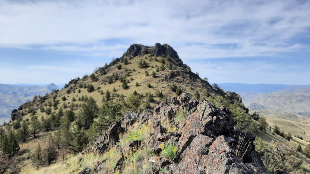
I ended up climbing an unnamed rocky summit a short distance away from Sheep Mountain that was actually 200′ higher. When looking at the scramble it would take me to get to the top of Sheep Mountain, I decided to pass, and instead wrapped around the western side of the peak to catch up with the ridgeline route on the other side. On a route, there are no rules, so do what you want!
Then I followed a stunning Rhodes Canyon down (shout out to my girl Melissa Rhodes in Illinois!) and contemplated one of two route options that skirt some private land. I followed a pretty little drainage up (it would have waterfalls and pools when there was acutally water). The saddle I was aiming for wasn’t too far away, and soon I was up and over and back to the John Day River in about a mile.

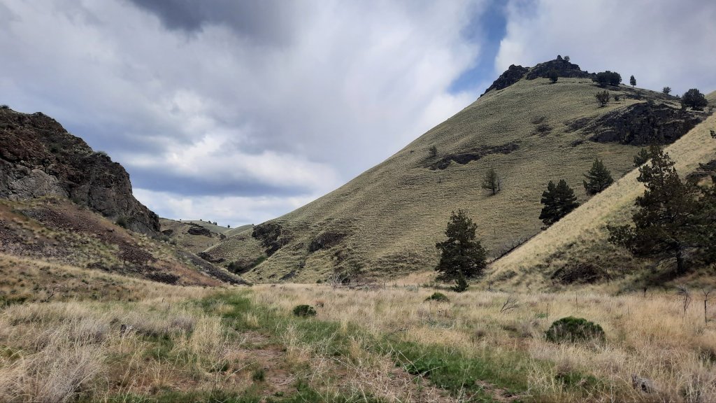
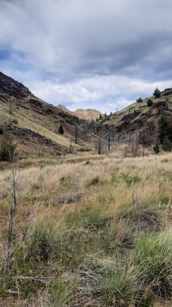
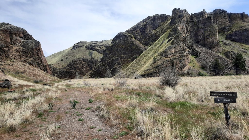
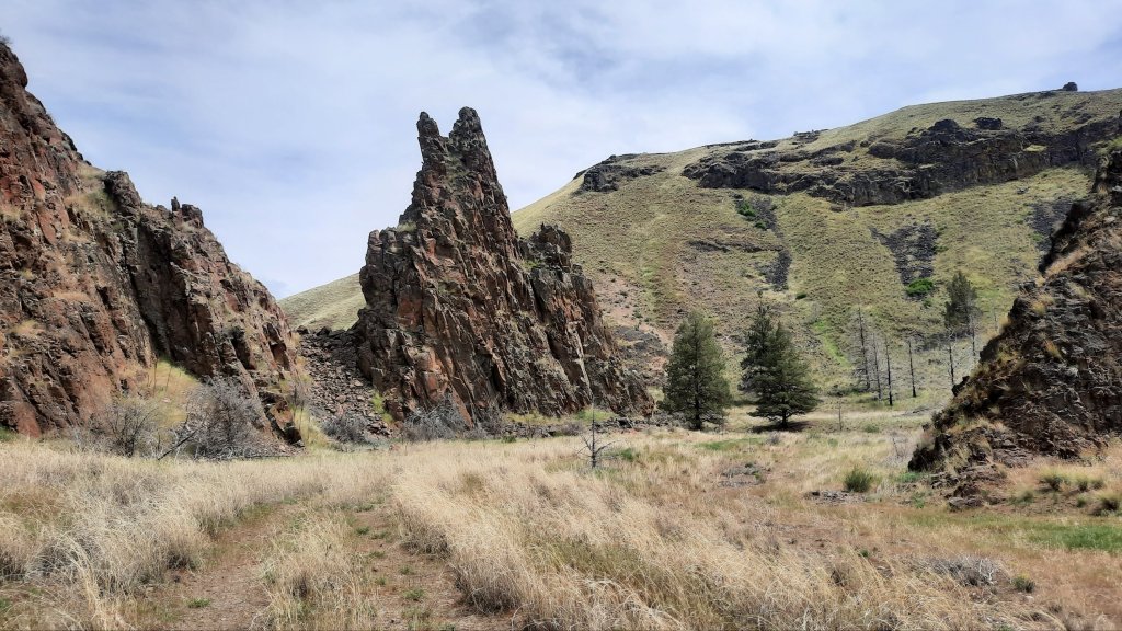
Then shade and lunch. I don’t see any boaters, but then again, I’m only by the water for half a mile today before I start hiking up the next canyon. And I’ve wondered about this canyon the many times I’ve passed it from a boat. The rock pillars guarding the entrance to Rattlesnake Canyon are imposing, and I don’t have to wonder how it got its name. As I walked up the drainage, I could see this would be the perfect road for an ambush. Rocky outcroppings and dramatic pillars rose up on either side of the old grade, and for sure there were bandits lurking behind the next bend.

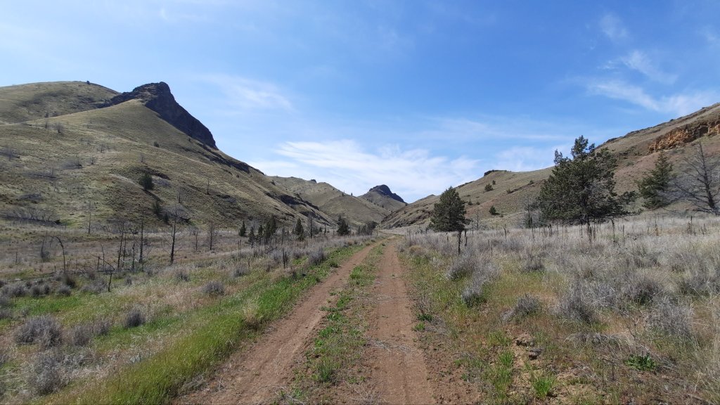
How did this road get here in the first place? What was up here? My maps show miles of road that spider web out through the canyons and ridges of this area…but than again there are a maze of old roads almost everywhere in every desert. Humans have been everywhere. Today my road would circle the dramatic Amine Peak, was there a mine to find?

The upper reaches of the canyon had running water, running water! I have been regularly lugging 4-5 liters of water around with me because of my dry camps and one water source a day….this water was a welcome sight, but alas, I didn’t need any.
The clouds that were bringing the storm were gathering by mid afternoon and I wanted to make camp before the rain, so I pressed on, looking for a nice camp spot near the top of the canyon with some tree cover. I kept going thinking my options would be better, and oops, now I was walking on the eastern shoulder of Amine Peak closer to the clouds than ever, with no tree cover. But the storm was holding off, and the patchwork blue and thunderhead sky looked like it could go either way….sunny or stormy. So I motored on (its sooooo beautiful up here) and soon spied a little skid road that dropped a few switchbacks to some trees that would be well protected.


Whew!
I’m sleepy and horizontal well before dark, my body has never felt this good lying down.

Thanks for sharing the beautiful country, Renee! My guess re the many roads: deer hunters.
Friend, Mike
LikeLiked by 1 person
Beautiful images.
LikeLiked by 1 person