I spent the last few days uploading over 1,500 photos of my Blue Mountains Trail hike to this Flickr collection, and updating my blog posts with these photos 👇. Enjoy!
Oh, and the Greater Hells Canyon Council now has a page up on their website about the BMT (sign up to get trail newsletters), and the first presentation is coming up soon…Whitney, Mike, Naomi, and Jared will be teaming up with Portland’s Mountain Shop for a free online presentation: register now!
Read about the history of the Blue Mountains Trail in a blog post I wrote for Katabatic Gear.
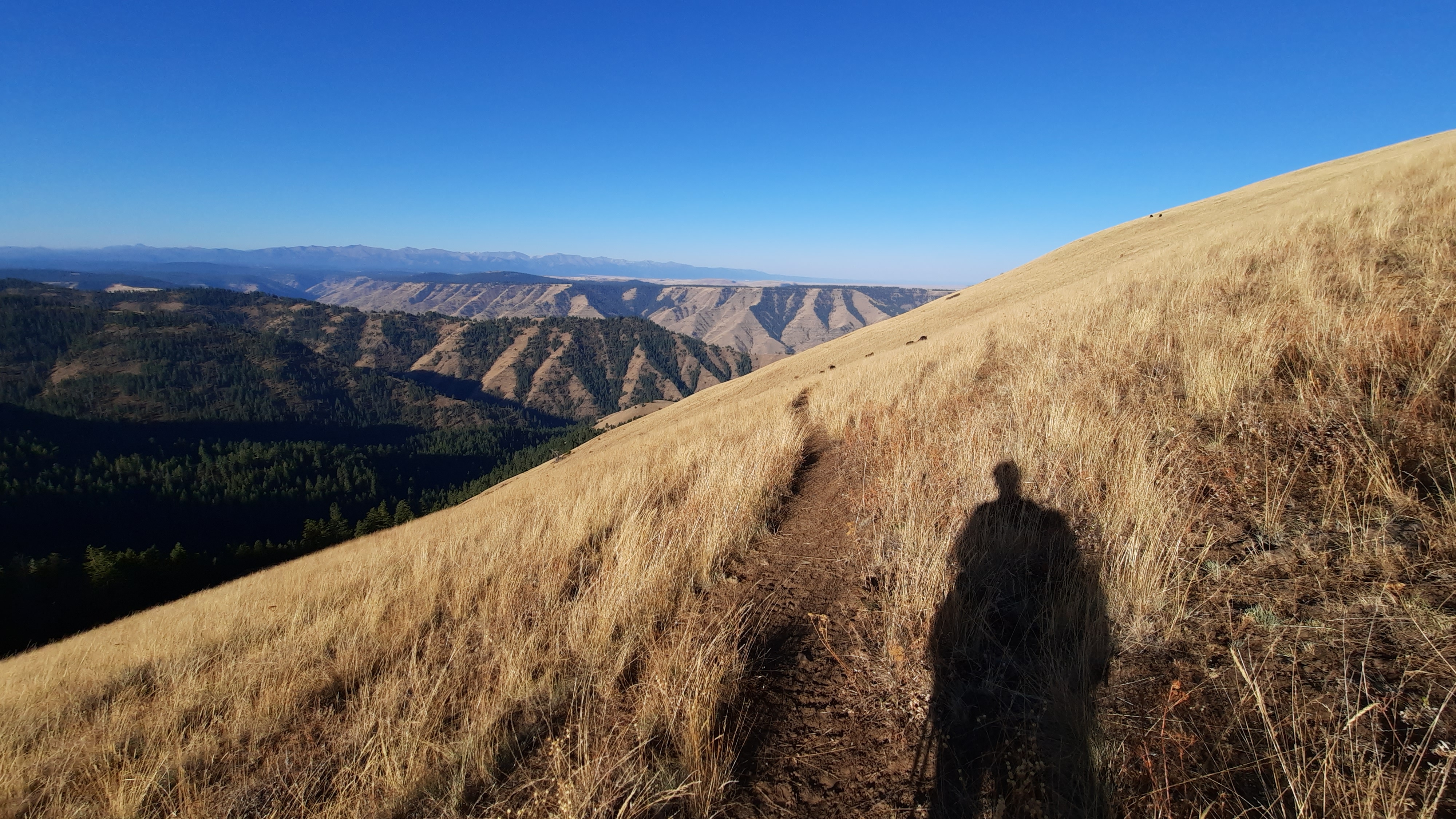
I’ve been learning a lot about the history of the Blue Mountains Trail since setting out in August to ground-truth 100 miles of this potential 600-mile route. The current alignment of the route appears like a swirl around the stunning granite mountain ranges in north eastern Oregon, but diverges significantly from the original vision for this trail, born in 1960 on a horsepacking trip in the Blue Mountains.
In fact, what I initially thought of as a recent effort by the Greater Hells Canyon Council to create an immersive backpacking experience designed to engage the recreation community in conservation issues has a much longer and varied history than I could have imagined.
As with many good ideas, this one grew out of a love of place. Blue Mountains Trail founder and Oregon conservation icon Loren Hughes had a long and active relationship with the forests and rivers in the Blue Mountains. Just a few of his monikers include director of the Hells Canyon Preservation Council (now the Greater Hells Canyon Council), director of the Oregon Wilderness Coalition, and “Mr. Five Cent-er” a nickname bestowed after he successfully used one 5-cent stamp to appeal six US Forest Service timber sales. In addition, this tireless environmentalist was active in efforts to form the Eagle Cap Wilderness and North Fork John Day Wilderness…an incredible resume for a man who spent a significant portion of his livelihood as a jeweler in La Grande.
A young Loren Hughes – photo from GHCC
Save the Minam Crew – photo from GHCC
Loren’s vision gained steam when he appealed to friend Dick Hentze, an avid backpacker and Baker City school-teacher, to help him with the trail idea. The two spent the next several decades dreaming up their route, exploring possible alignments in the mountains, and with Dick’s love of maps, they created the first iteration of the trail, an 870-mile loop originally conceptualized as the Blue Mountain Heritage Trail.
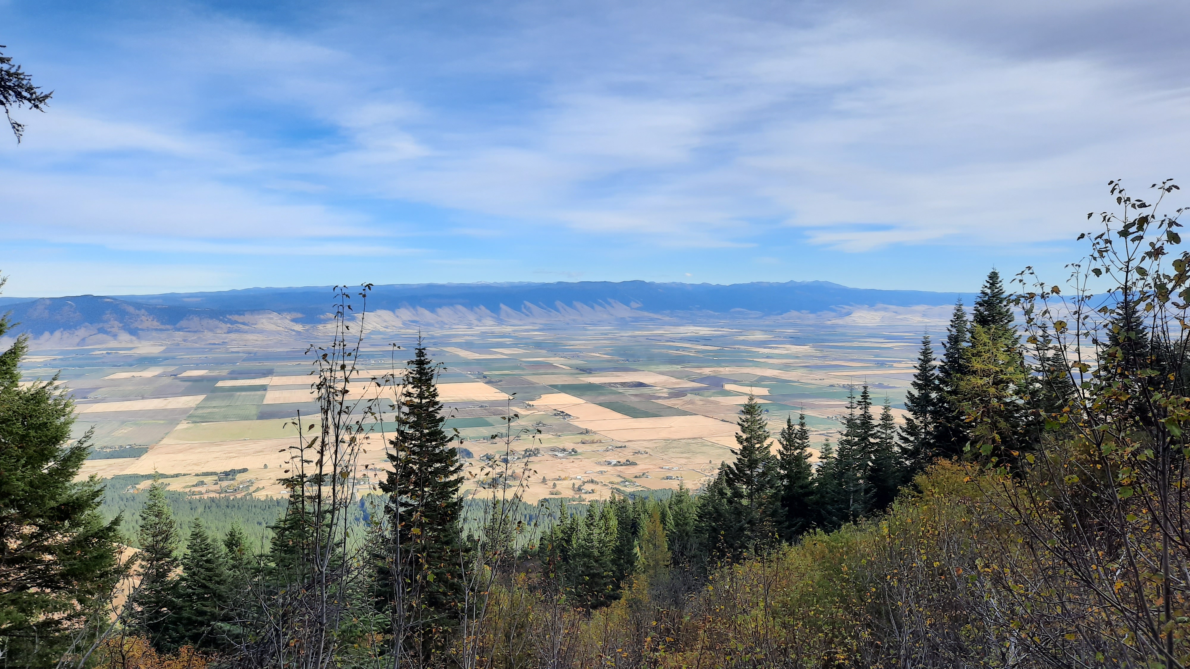
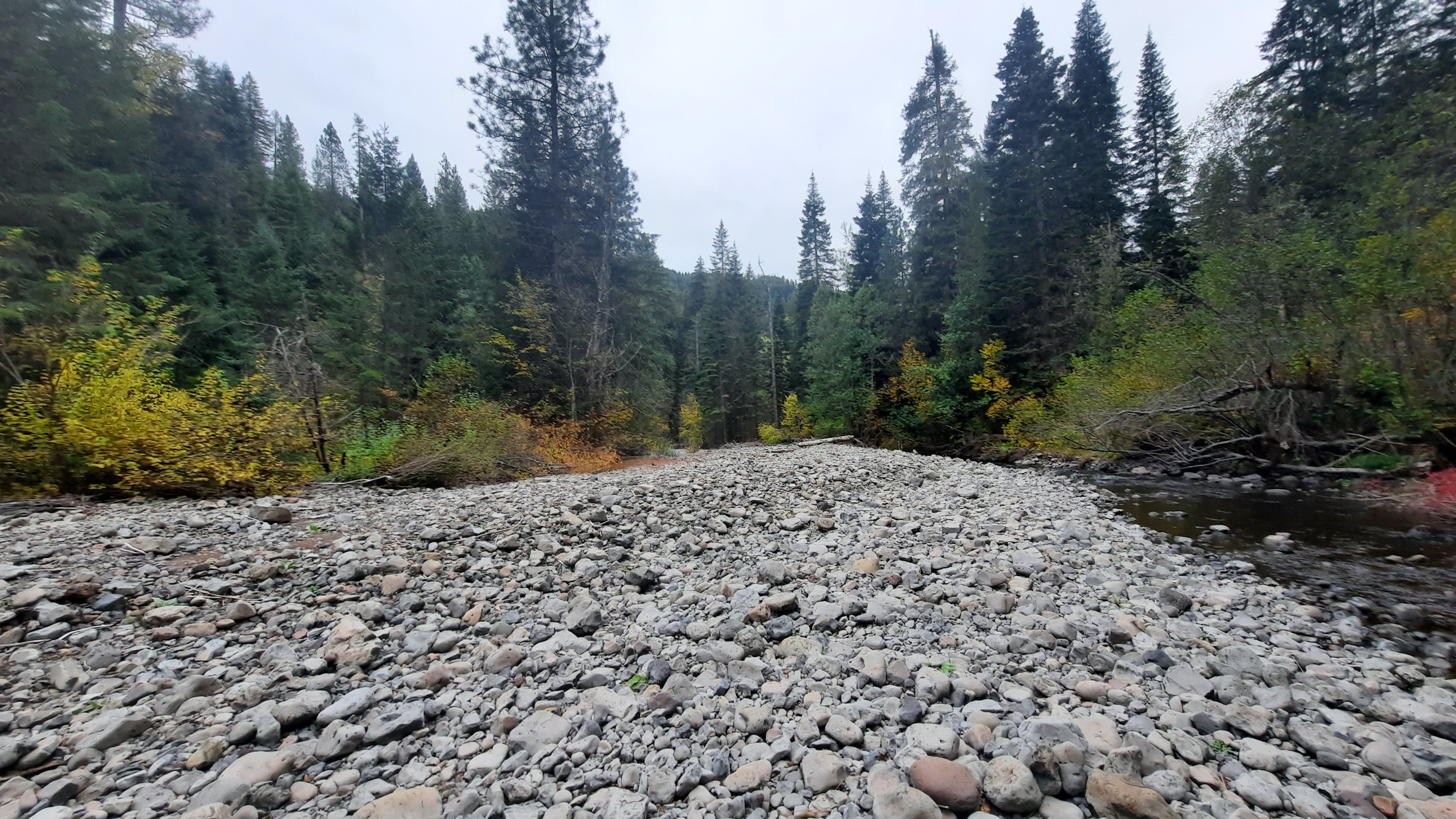
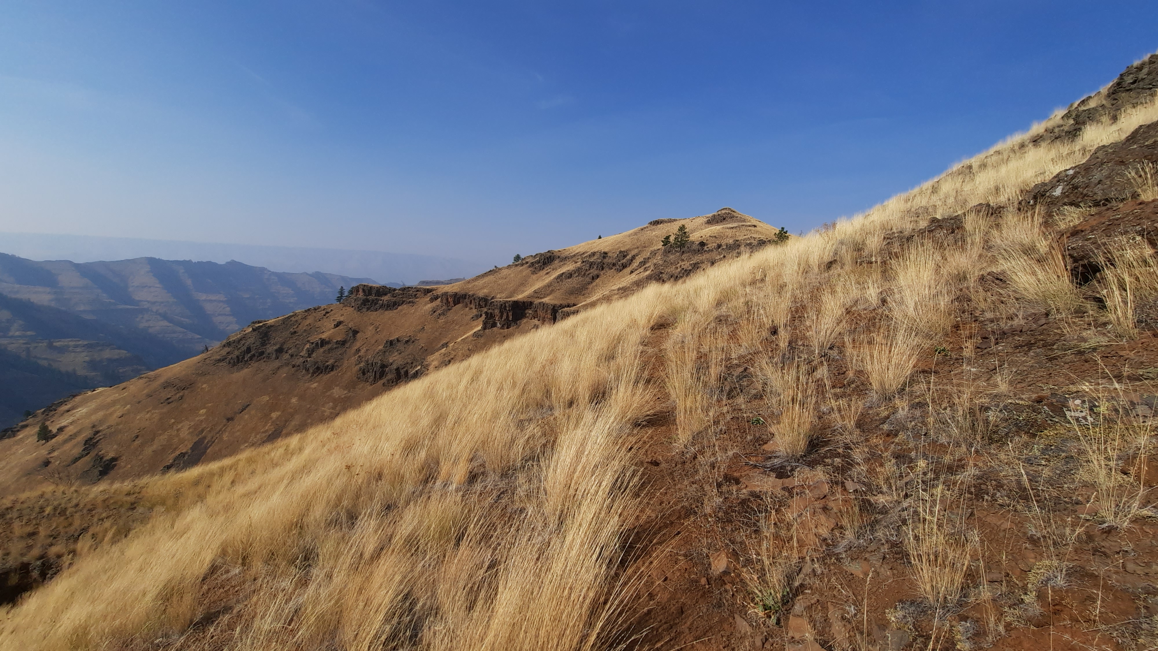
What these men proposed was a circular route that touched Hillgard Station; a state park just north of La Grande (and a stop on the Oregon Trail in the mid-1800’s); followed the snaking river canyons of the Umatilla, Wallowa, and Wenaha Rivers; took a turn along the rim of Hells Canyon (the deepest river canyon in the country…yes…deeper than the Grand Canyon); to skirt the southern edges of the Wallowa Mountain Range and back into the mountains via the Burnt River and over to the John Day River drainages and back around to Hillgard Station.
Just a quick glimpse at a map reveals miles and miles of trails crossing all through these mountain ranges. It was surely a difficult task to decide what would be the best routing for their vision…I would guess there are hundreds of route options that would give hikers an immersive journey into the heart of north eastern Oregon. In fact, their research revealed the original route would encompass 2,000-miles of additional trails. Can you imagine?
At the heart of this trail effort was the Hells Canyon Preservation Council (which later was renamed as the Greater Hells Canyon Council or GHCC). The group was created in 1967 to stop Hells Canyon and the Snake River from being dammed, actions that later led to the protection of the area as the Hells Canyon National Recreation Area. The men played key roles in the efforts to honor the natural wonders of the area, and those who knew them well will be thrilled to know the trail is routed through the Wenaha-Tucannon Wilderness, Eagle Cap Wilderness, North Fork John Day Wilderness, North Fork Umatilla Wilderness, Strawberry Mountains Wilderness, Monument Rock Wilderness, Elkhorn Mountains, and Hells Canyon National Recreation Area.
2010 marked a big year for the Blue Mountains Trail. By that time the men had engaged another passionate outdoorsman and life-long eastern Oregonian, Mike Higgins. Mike had also been intimately involved in local environmental efforts, and served on the board of the Oregon Natural Resources Council (now called Oregon Wild) prior to getting involved in the resurrection of the Hells Canyon Preservation Council. Together the men had formed a nonprofit, partnered with the Forest Service, engaged interested parties in Baker City, and had generated considerable excitement in the local and recreation communities.
Mike Higgins – photo from GHCC
In fact, when looking back at several articles written about the trail in that time-frame, I was curious to find a major motivating factor for all parties involved was to help diversify the economy in the area and develop the recreation infrastructure that would attract foreign tourists to these far reaches of Oregon. A European backpacking-style experience was envisioned, and the route was designed to lead hikers to roads or trailheads every 10-12 miles or so where they could be picked up by a local inn or bed and breakfast, shuttled around each day, and essentially slack-packed the entire route (hiking with just a day-pack). Inspirations for this style of hiking can be found all over Europe like the Camino routes in Spain and different footpaths in England and Scotland.
However, routing hikers to roads and trailheads frequently meant they wouldn’t be experiencing the deep wilderness areas where bears, wolves, elk, and cougar still roamed freely. Trails can be designed with many different user experiences in mind, and this one was a noble effort at getting more people out in approachable sections of trail while spending time and money in the communities that serve as the backbone of this region. (I would definitely stay in some of those bed and breakfasts if they are still on the route today!)
Despite all the energy and excitement around the trail two-decades ago, a series of tragic events derailed the efforts, including a deep and personal loss in Dick’s life. The trail idea was still alive on the backburner, but major efforts to move it forward were at a standstill until 2016. At Loren’s unfortunate passing, the Greater Hells Canyon Council renewed their efforts to realize the Blue Mountains Trail and included it in their strategic plan.
Enter GHCC board member Jim Kennedy. Jim and his family loved exploring different landscapes on trails, and with the GHCC’s renewed sense of purpose to complete the Blue Mountains Trail, he shared the vision with his son, Jared Kennedy. It sounds like Jared positively jumped at the chance to continue the dream, and the two of them poured over the previous trail materials with Mike Higgins.
Jared explained that he noticed some of the most iconic, scenic, and remote parts of the Blues were missing from the original route, so he set to work rerouting and revising the alignment to find a new way to tie the ecoregion together into a thru-hike. That’s about the time that I got involved in the effort, and over a series of phone calls and emails with Jim and Jared, I encouraged them to think of a route concept, similar to what the Oregon Natural Desert Association had created in the Oregon Desert Trail (or ODT, a 750-mile route that I have been working to establish for the last five years). I shared examples of the numerous resources that I had created for the ODT, and learnings from the relatively fast trajectory of the Oregon Desert Trail from idea to reality in just a handful of years.
An additional objective that Jared brought to the table was including the high peaks of the Wallowas, Elkhorns, Greenhorns, and Strawberry ranges. The three men also identified key peaks, wilderness areas, state parks, and towns they wanted to include in the alignment, and the current spiral shape of the now 600-mile path formed in response to these highlights.
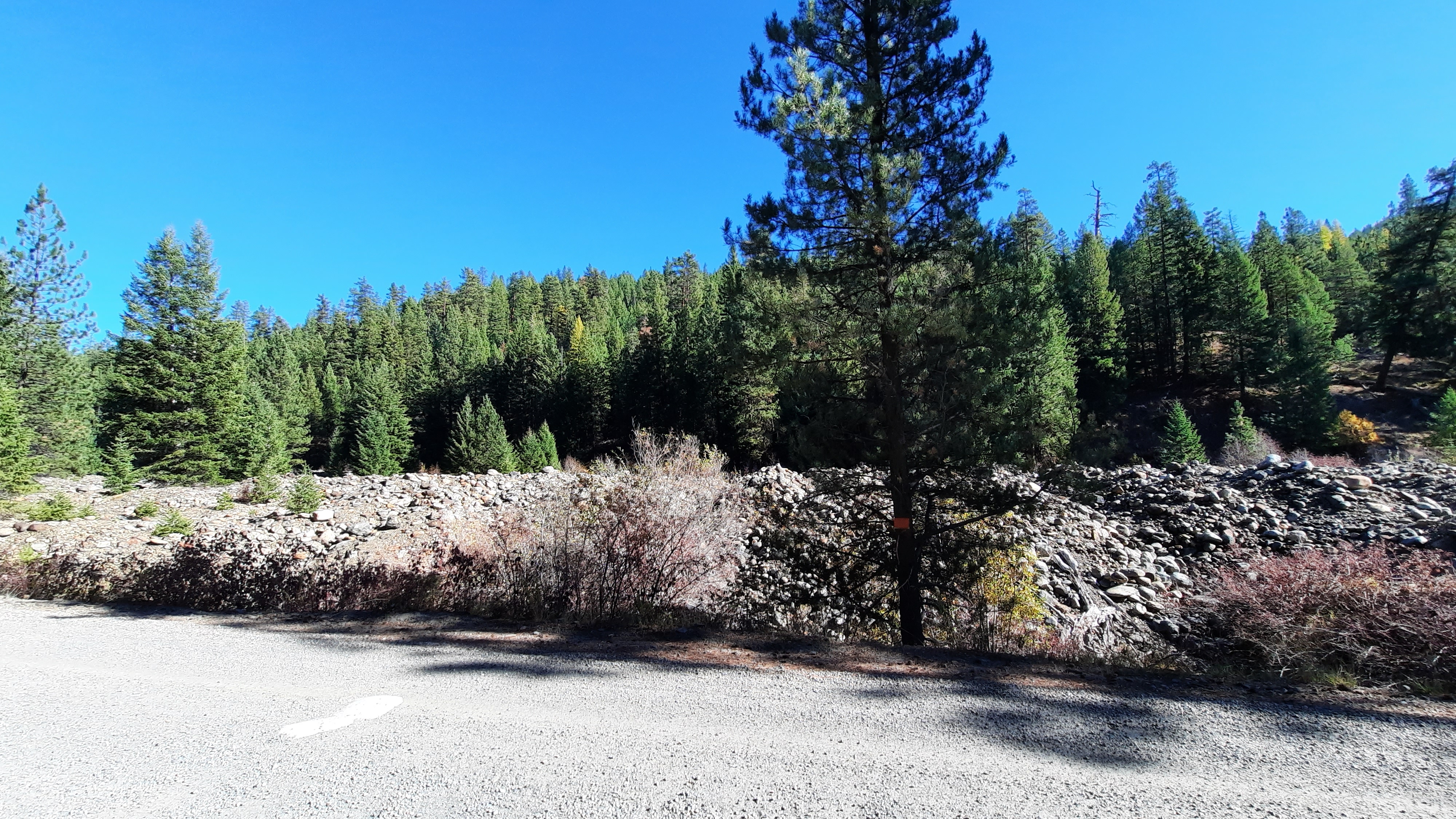
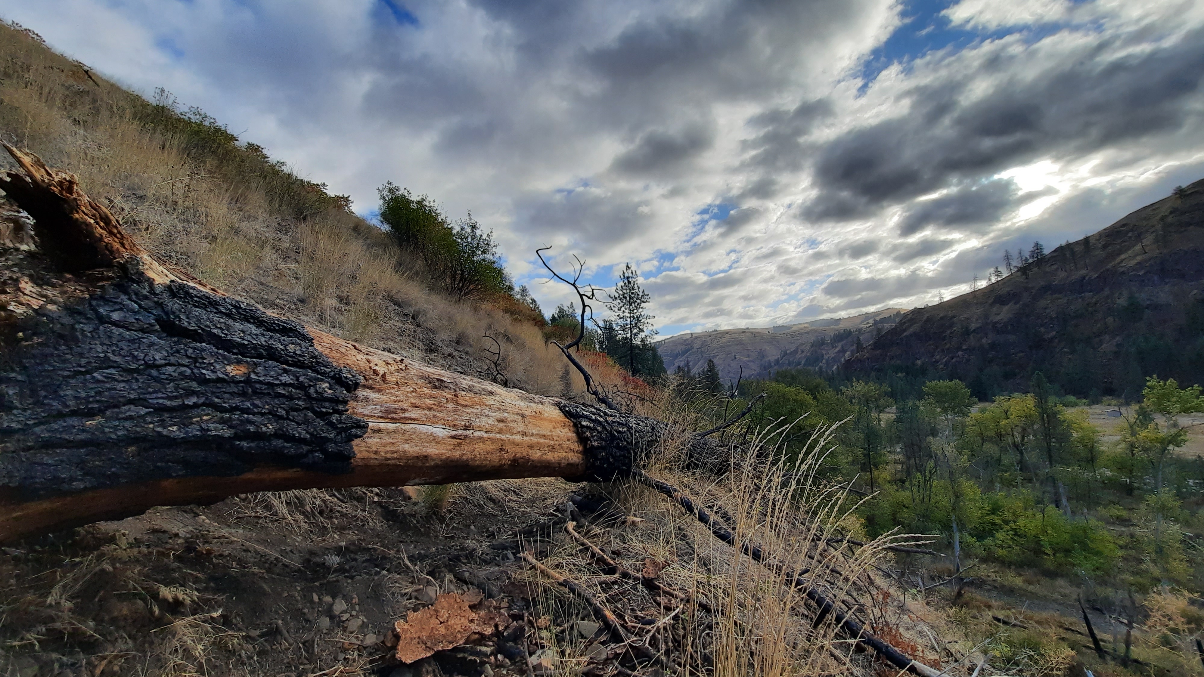
Another reality set in when Jared, Jim, and Mike looked at the current landscape to find numerous fires had burned through some of the stunning sections of the route, and many miles of trails and roads had been neglected, ignored, or deliberately decommissioned. A tricky issue is that many of these routes still appear on maps, when in fact they don’t exist in a hikeable form today. Mining claims have popped up along sections of the trail (this area has a long long history of gold mining), private land boundaries have changed, and poison oak, blackberries, and deadfall create additional barriers on the ground.
The original Blue Mountains Trail is shown here in gray, with one of the first alignments of the “new” BMT overlaid in color.
This year Jared had a line on the map, and the goal was to find enough hikers willing to brave the unknown conditions to hike and document what was actually on the ground. I volunteered at first mention, and enticed some other experienced hikers I know to try and hike the entire route as well.
And what are we finding? An amazingly scenic and remote outdoor experience. Yes, some of the trails have been damaged by fire, are overgrown, and are blocked by tree-fall, but since there are several of us out hiking this year, we are exploring different options with the hope of finding an alignment (or as I like to say, the path of least resistance) that “goes.” If the Blue Mountains Trail can be hiked through a series of trails that are still in passible shape, connected to roads which bring hikers to and from towns, then later down the line some sweat can go into opening and clearing some of those neglected trails once again. As with many long-distance trails, each year brings changes in the mileage and in the alignment. This effort will be ongoing, but by using the route concept, the Greater Hells Canyon Council should be able to get folks out there hiking sooner rather than later and slowly work towards the deeper wilderness experience that still touches on the incredible communities found along the way. Although the European-style hiking concept will likely be modified from the original 10-12 miles between trailheads vision, I can easily imagine a scenario where a hiker can still get picked up from a trailhead, shuttled back to a cozy bed and hearty meal for the night, and whisked back to the Blue Mountains for the next leg of their journey.
There is so much more I want to explore about the Blue Mountains Trail concept, including the love of place this route hopes to inspire in the recreation community; the understanding of the Native American and homesteading histories of this region; the geology, habitat, and important ecological lynchpin nature of this area; the roles hikers can take if they are moved by their experience to get involved in the many conservation issues facing this corner of Oregon…there is so much more to say. Stay tuned for more explorations into the story of the Blue Mountains Trail…it will help prepare you for your hike out there when it’s ready to go!
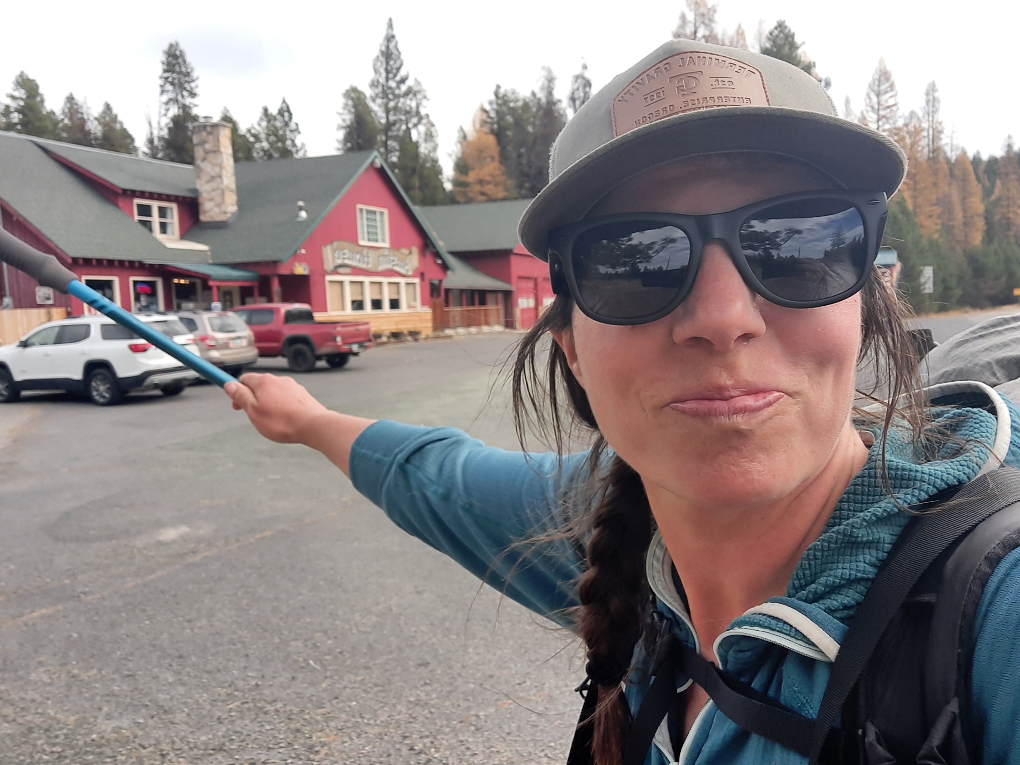
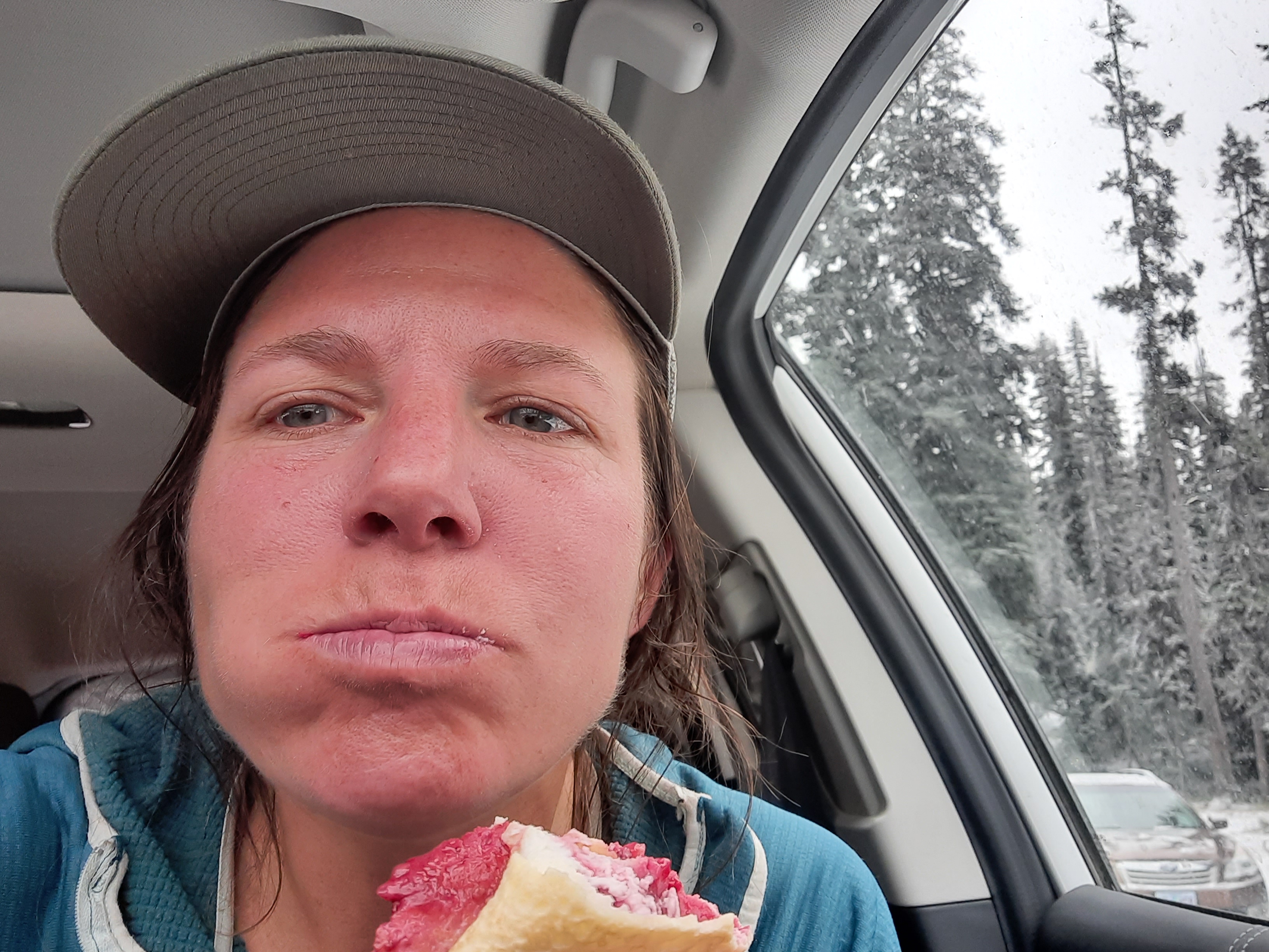
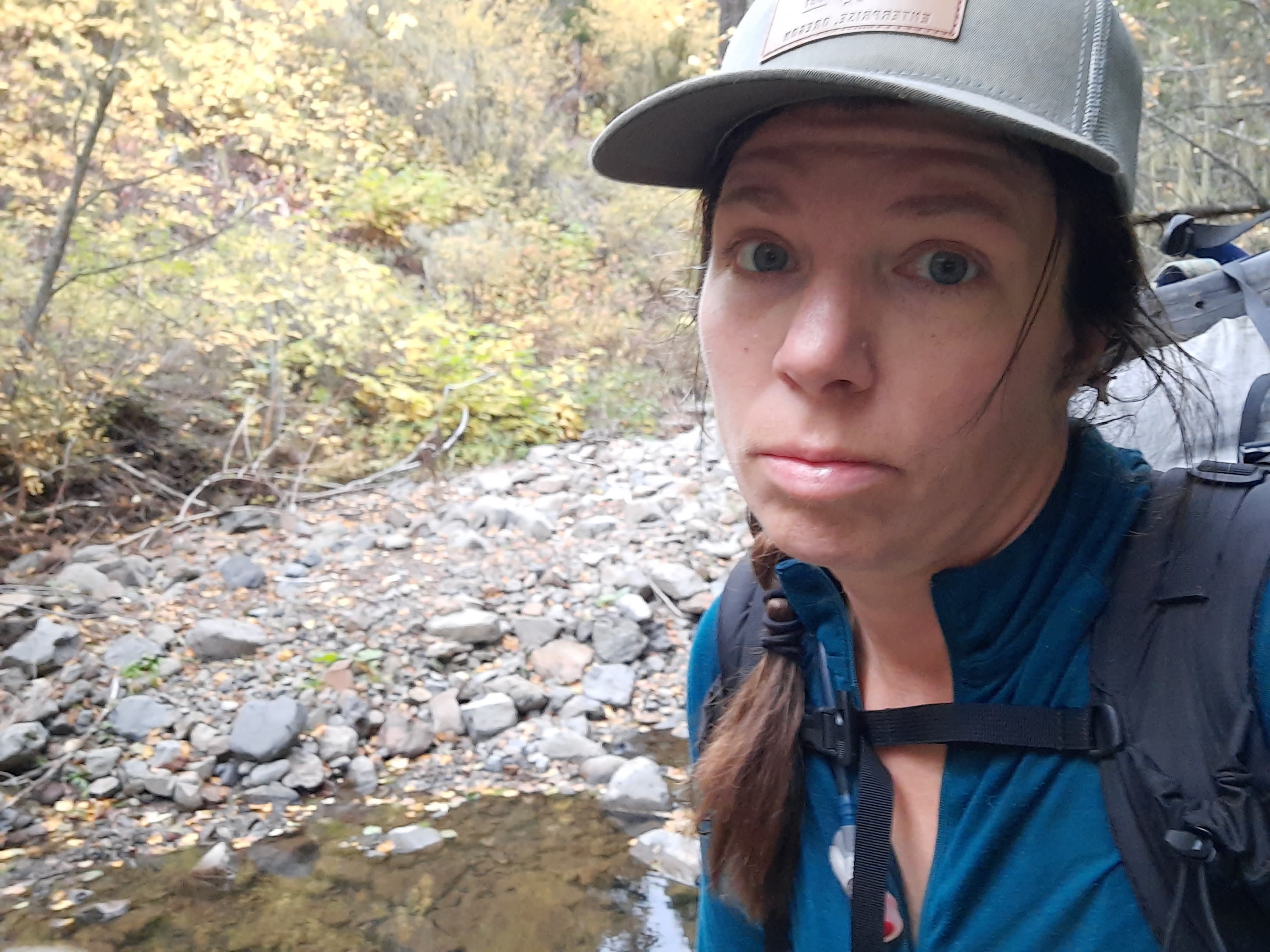
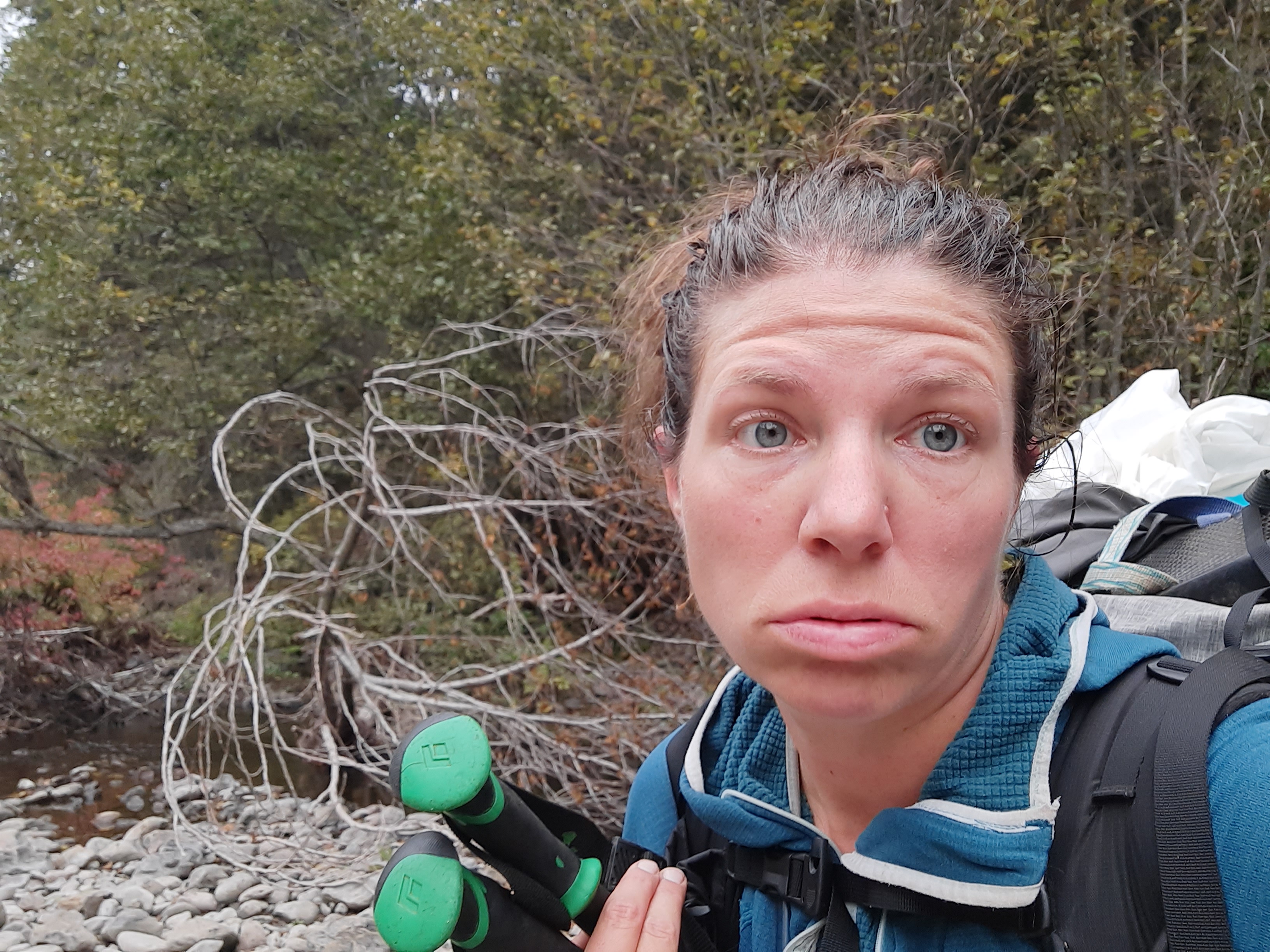
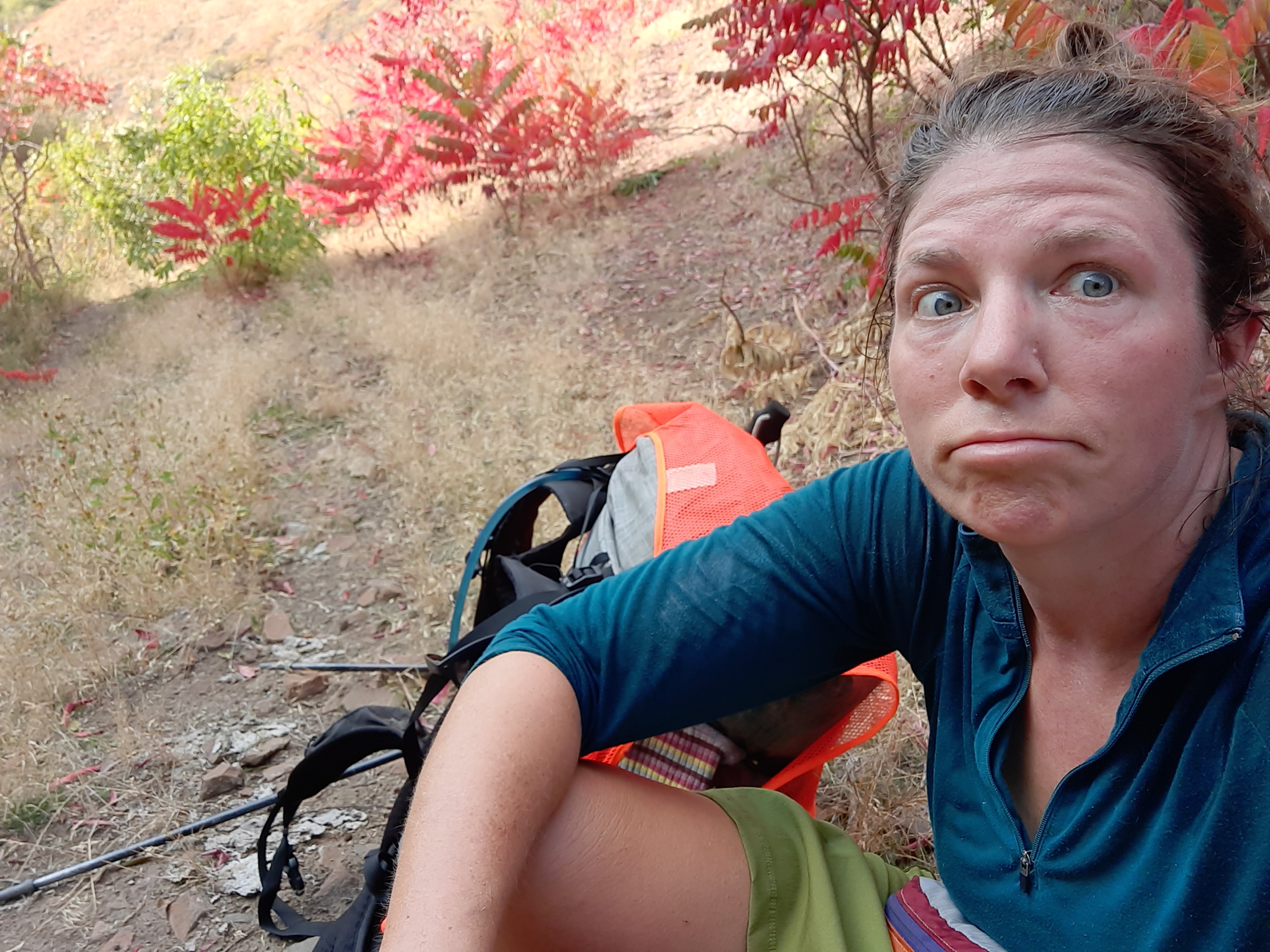
Day 28! 4 weeks exactly, thats very orderly of me.
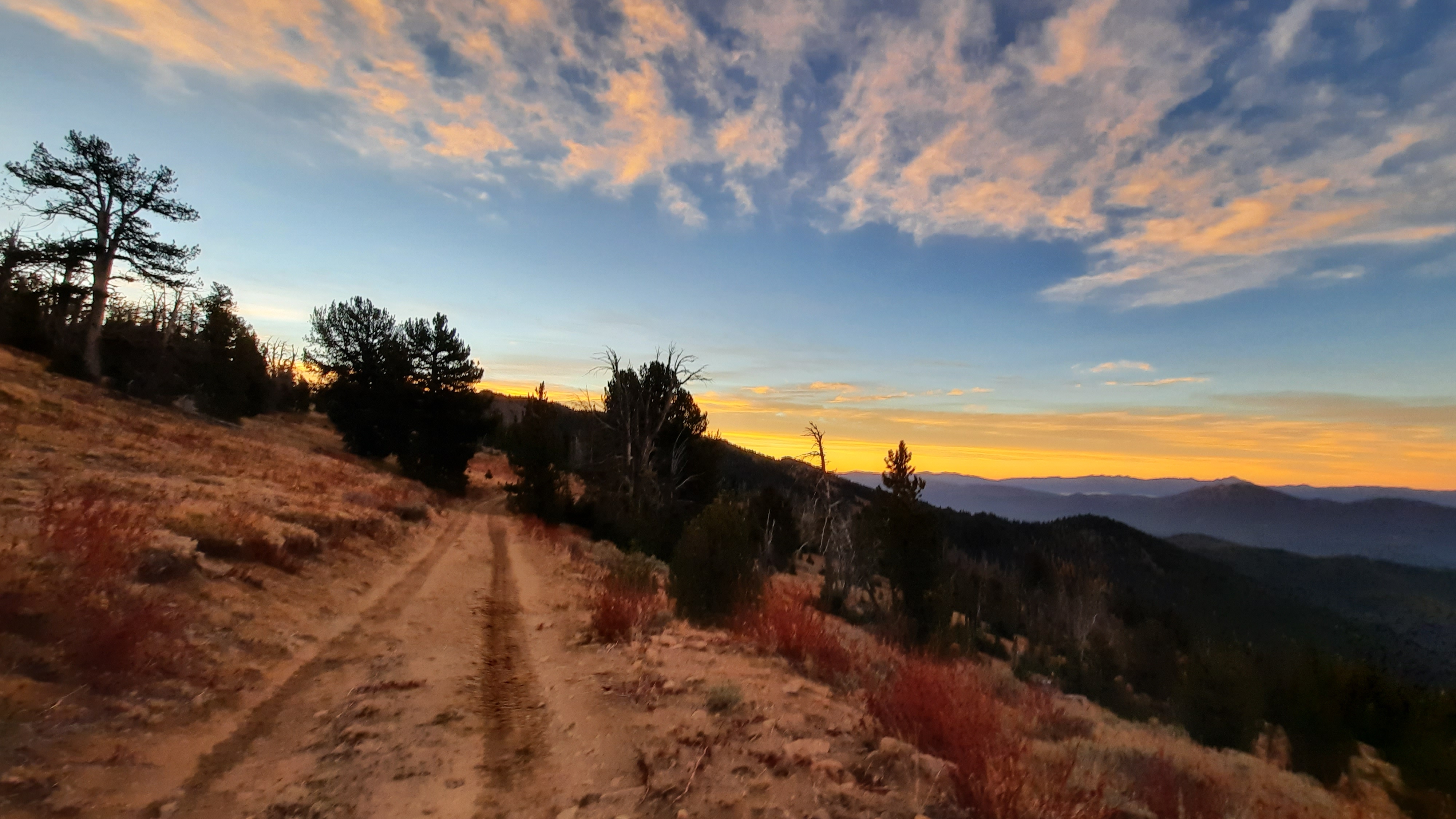
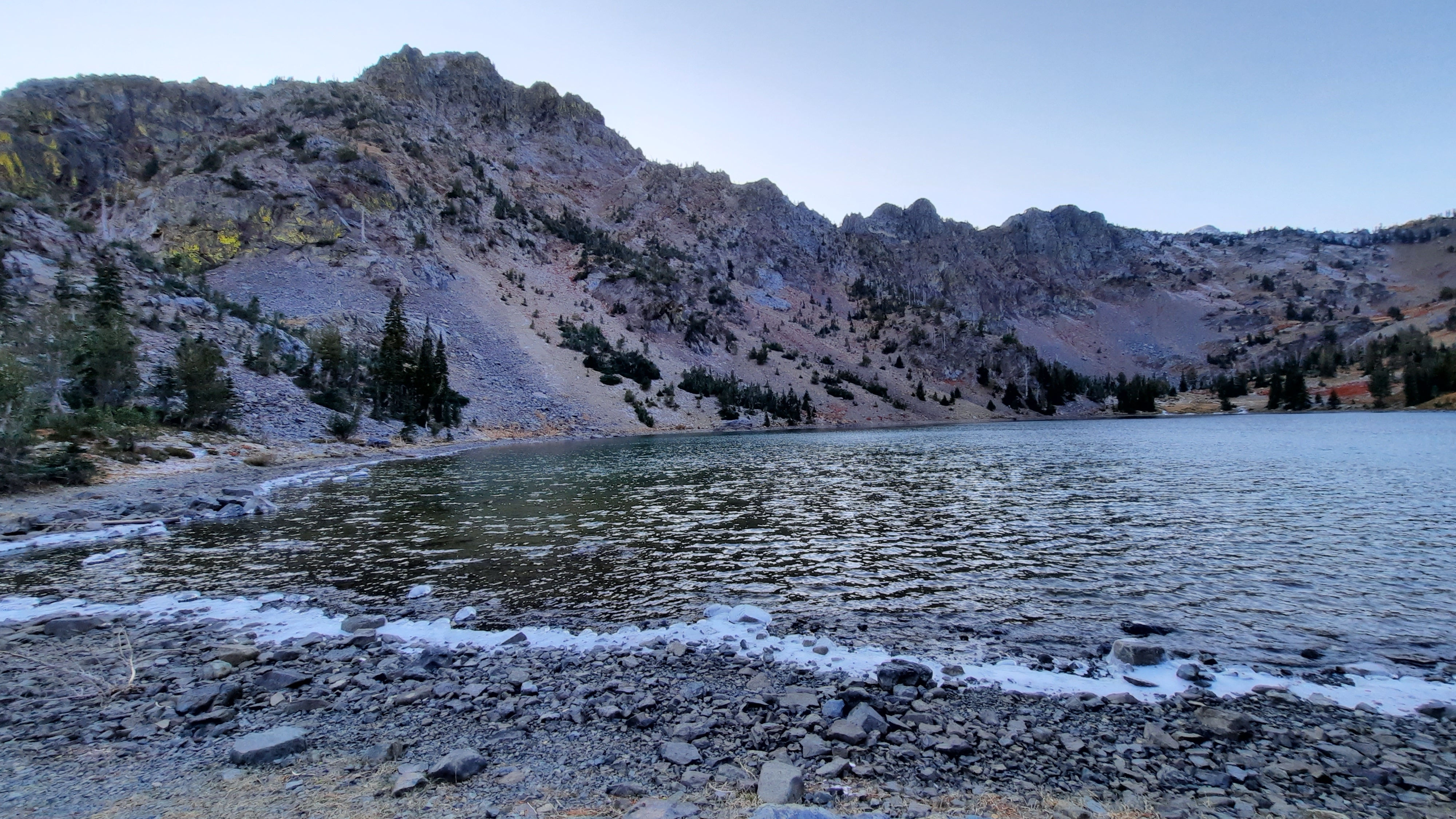
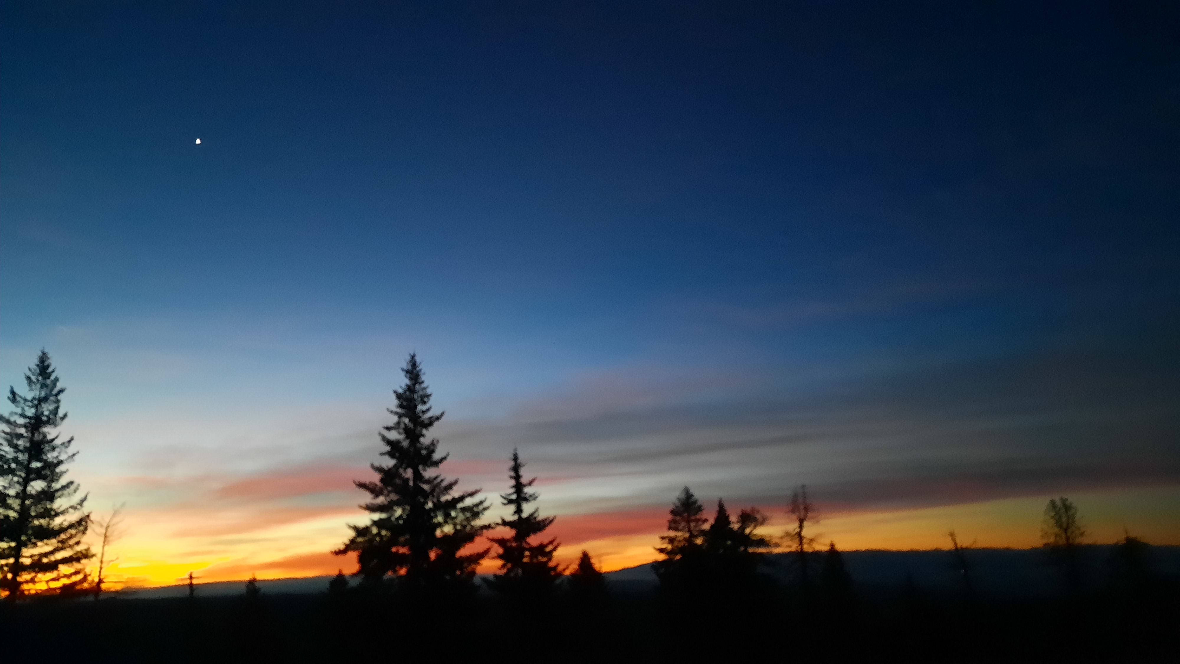
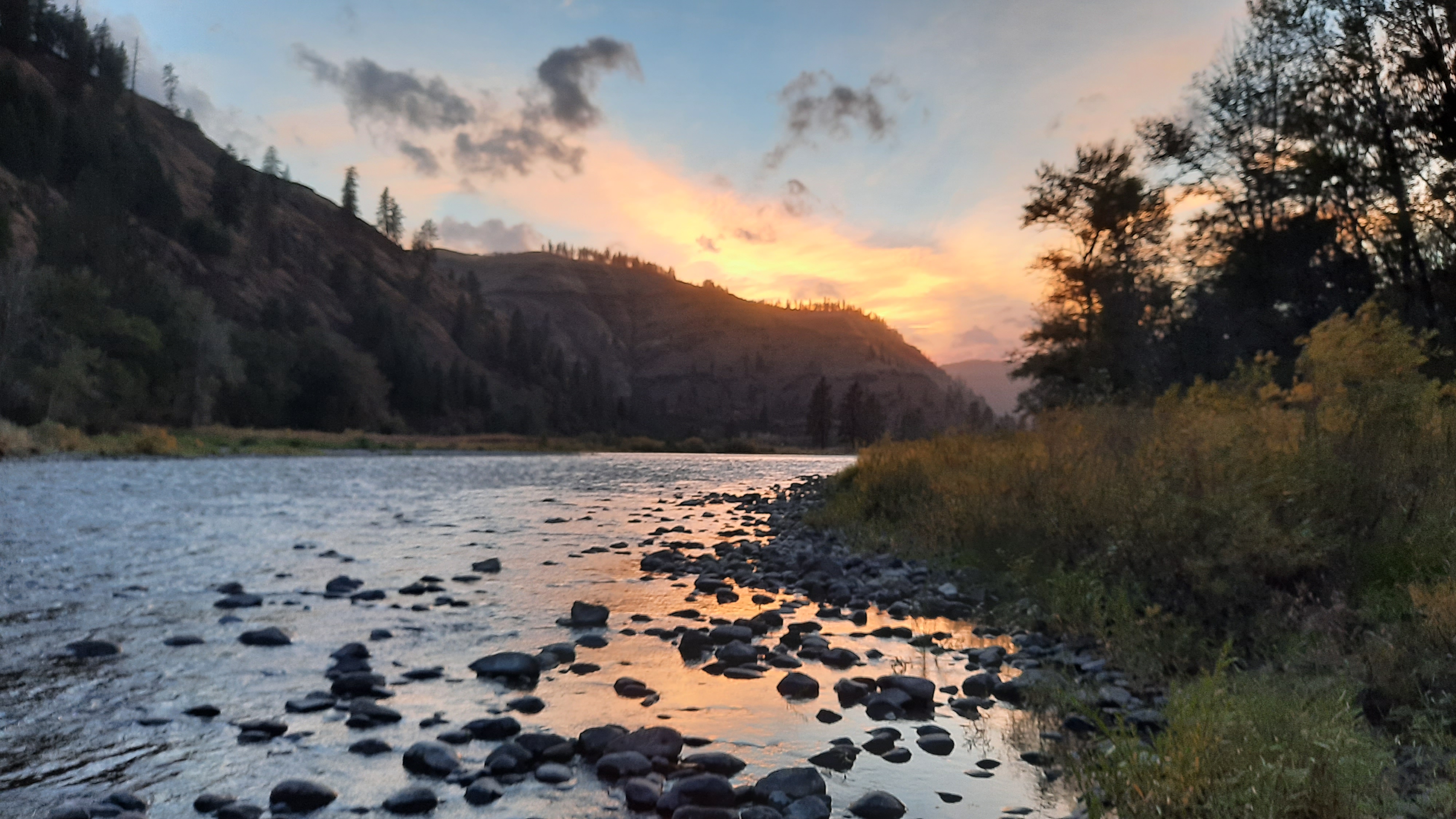
I was positioned for a second amazing sunrise of the week – that’s what I get for camping at the top of all the climbing at almost 8,000′. I listened to Nick Drake’s Pink Moon as I watched the moon set and the sun rise. What a day already!
For my last breakfast I made some Food for the Sole energy oats (coconut mango macadamia-the best flavor in my opinion) and soon as the sun was up, I was too, making my way down the last 16.2 miles on one road walk.
The hunters were out, and I found them tucked into almost every open spot they could be along the dirt road, but noted a few open spots. Kirk and some of my besties were on their way to meet me, and we would be camping out here for two more nights to have a backcountry celebration. Since I pushed hard yesterday I had a pretty easy day today, but the pain in my heel wasn’t touched by the ibprophen I had taken that morning. At least my body waited to break down until the last days of the hike. I’d probably be getting to Austin Junction before anyone else did, but that was ok. I had a date with a burger and beer, and it would probably be a good idea to let us have a moment together.
ouch. shooting pains in my right heel
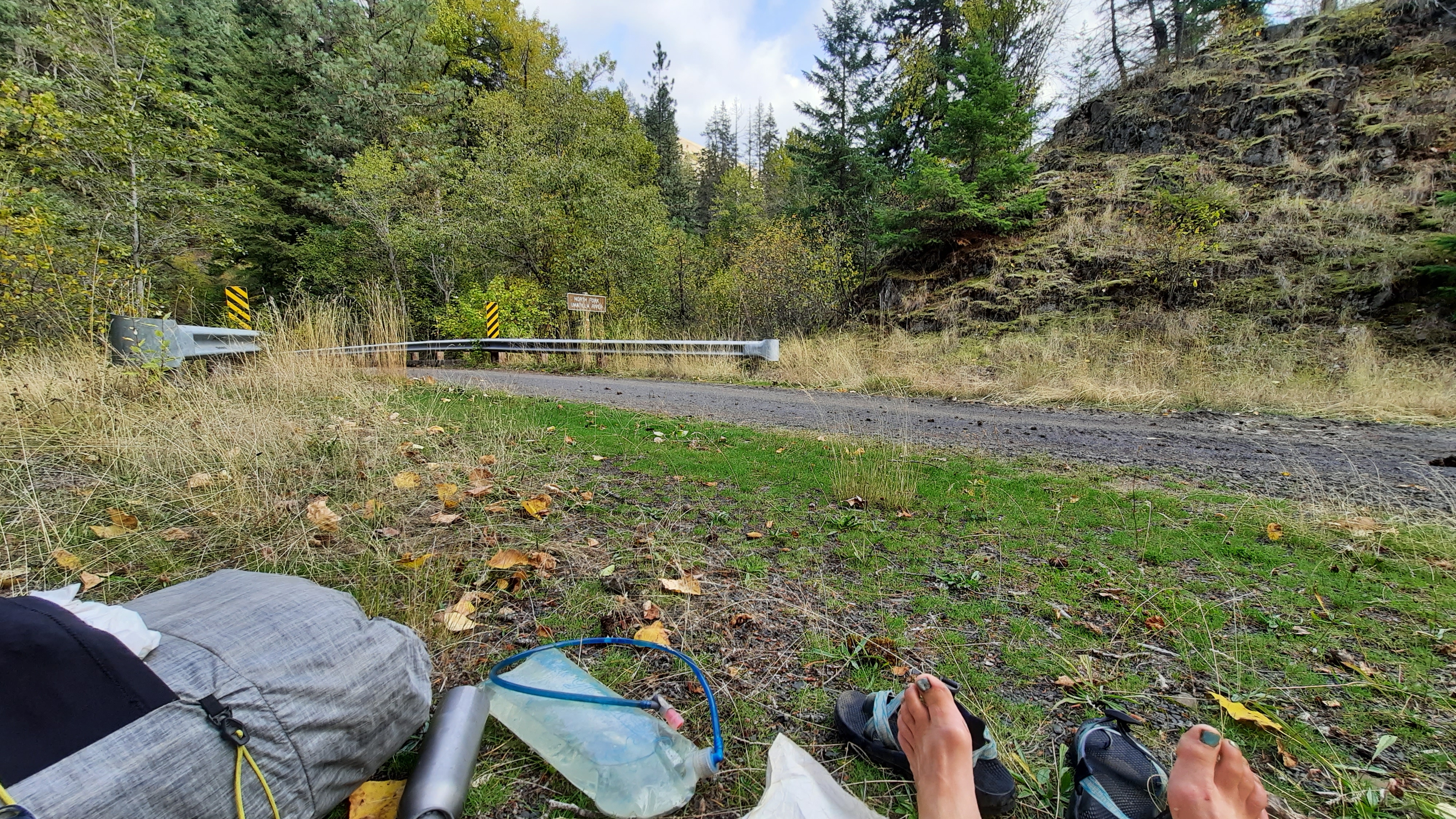
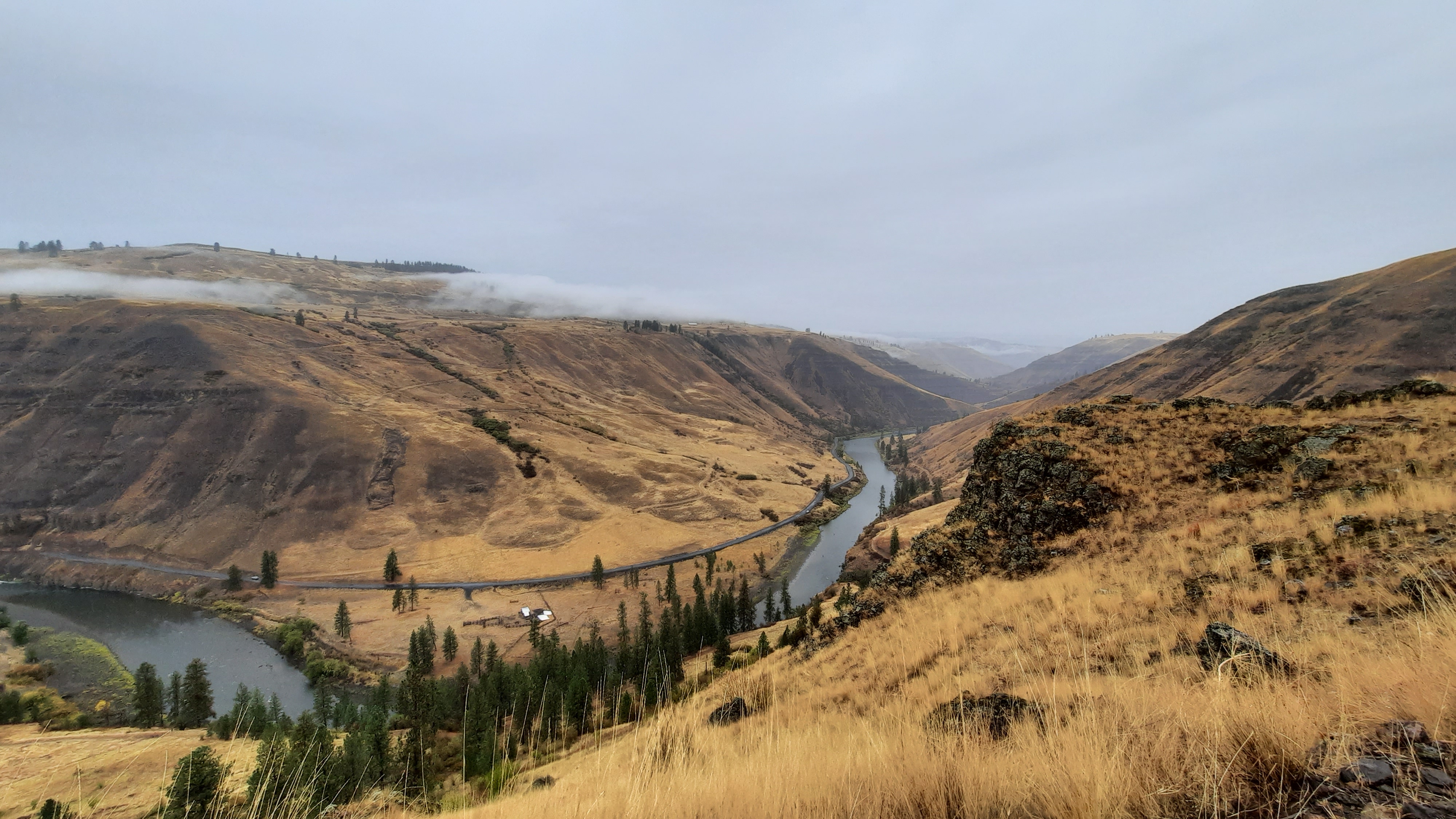
I popped out across from some Confederated Tribes of Warm Springs land where some crews were hard at work trying to put the channel of the Middle Fork of the John Day back into a more natural winding state and not the straight shot erosion-machine that it had become. Then I passed Bates State Park which was strangely empty…I figured with hunting season and good weather it would have been packed.
Then to highway 7, then to highway 26 and the end!
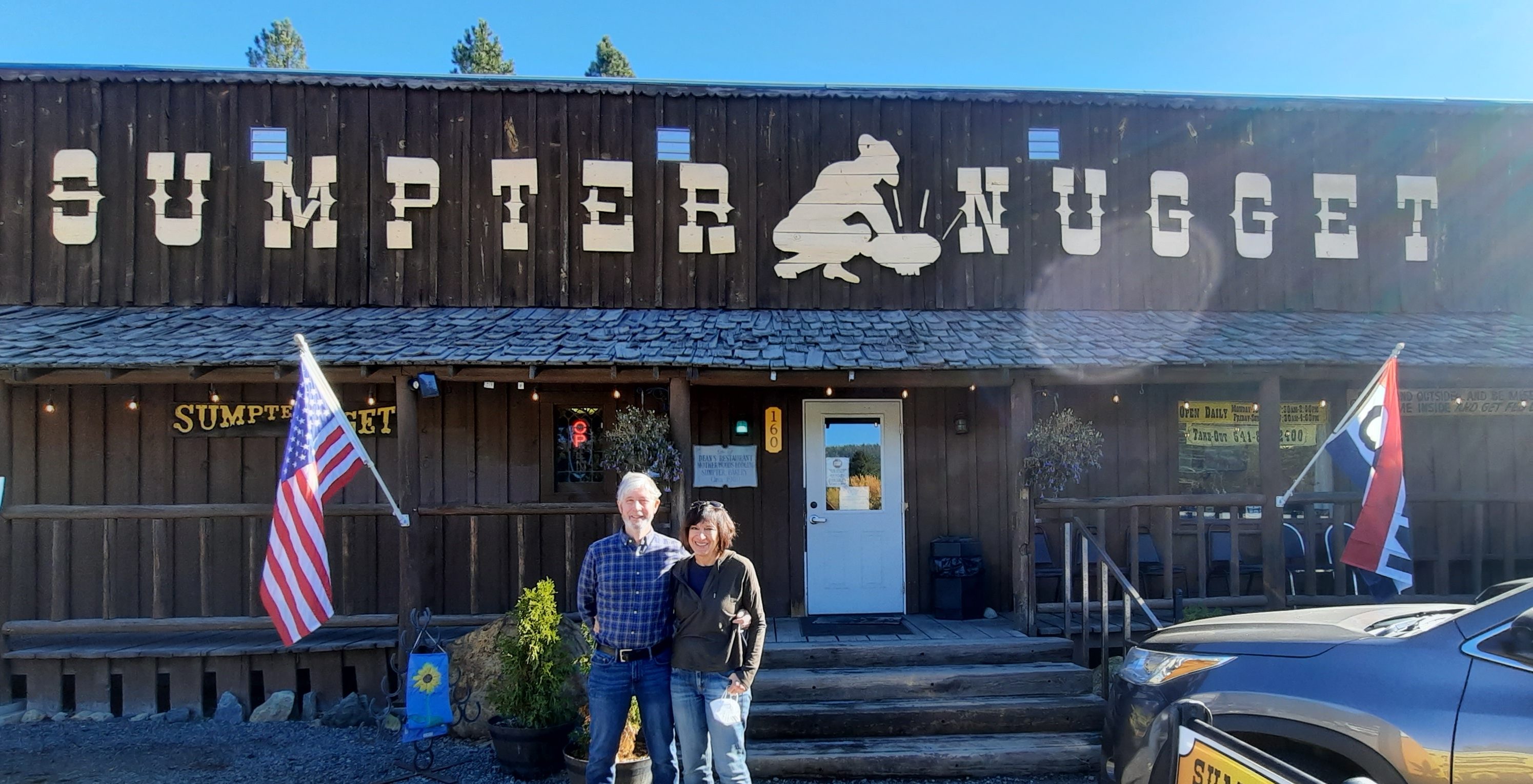
I officially connected my steps from the section I had hiked in August for a total of 580 miles hiked of the new Blue Mountains Trail. Is it a trail yet of it can be hiked? I was the first to start hiking it, the fourth to finish (congrats on being the first Whitney, Mike, and Naomi!)
done!
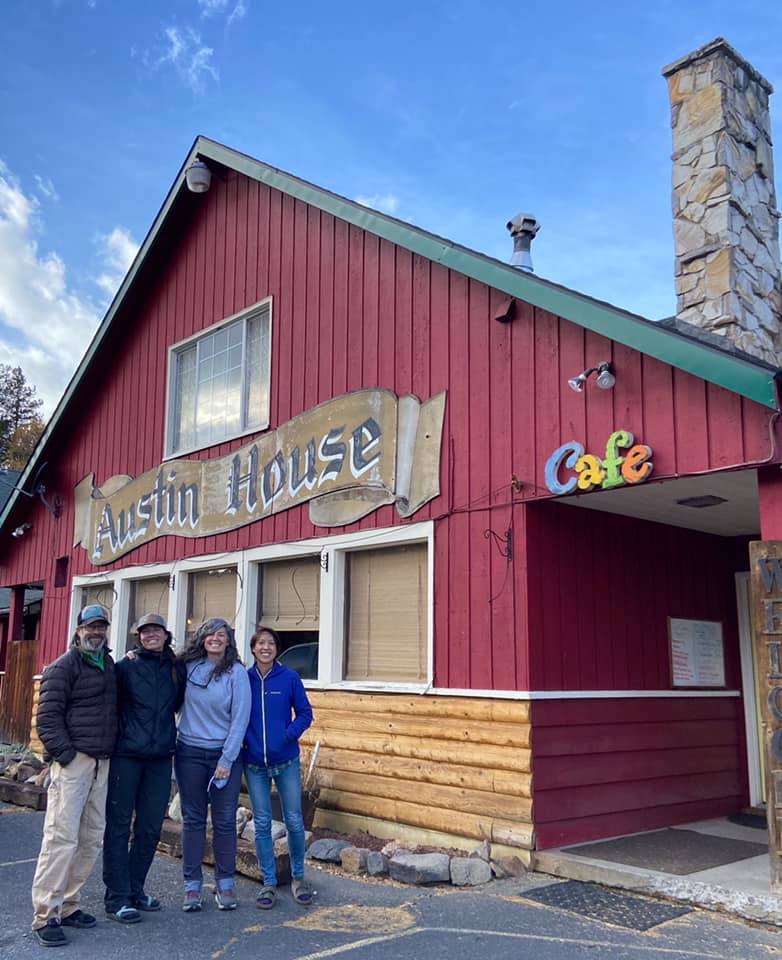
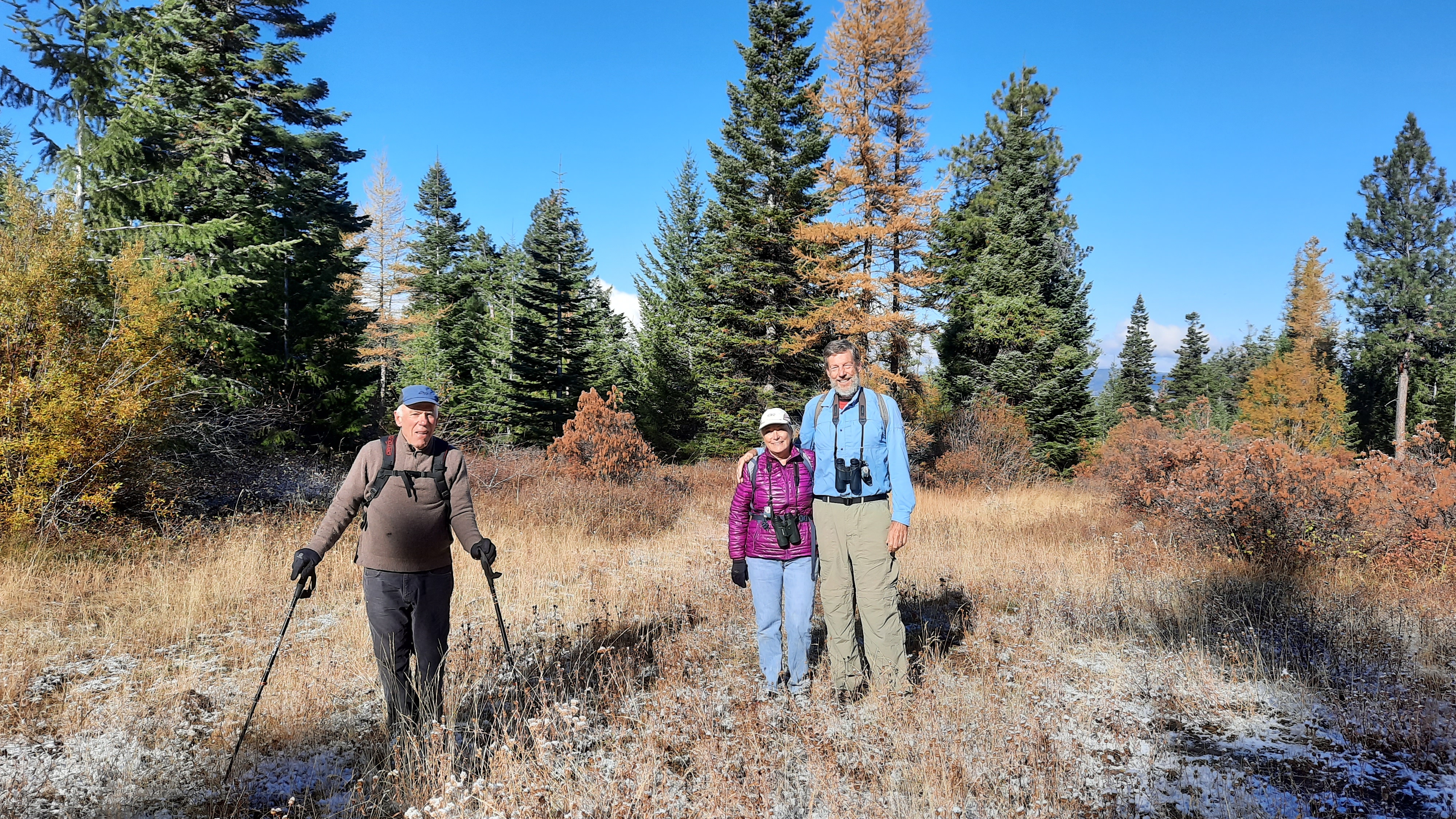
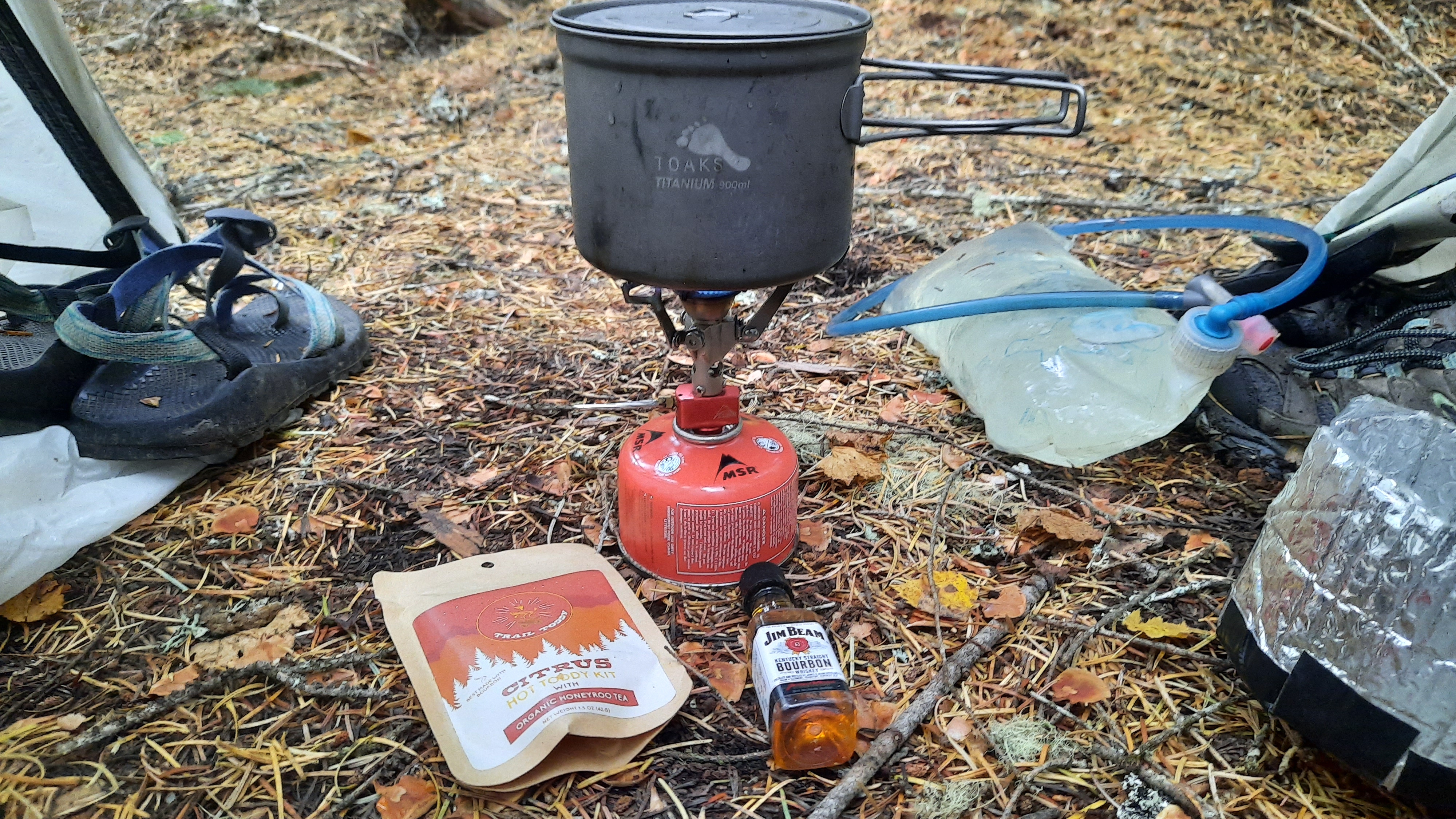
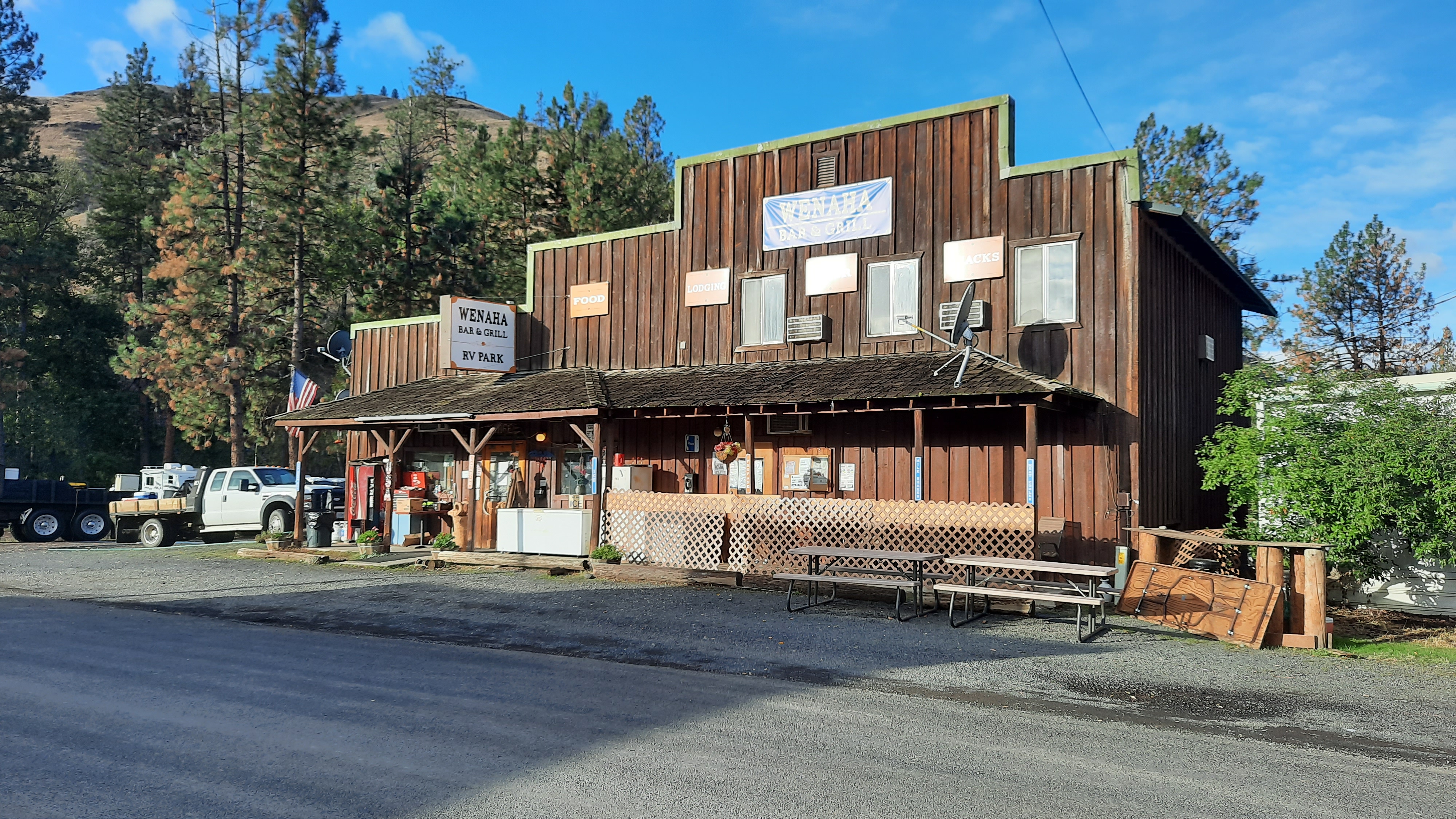
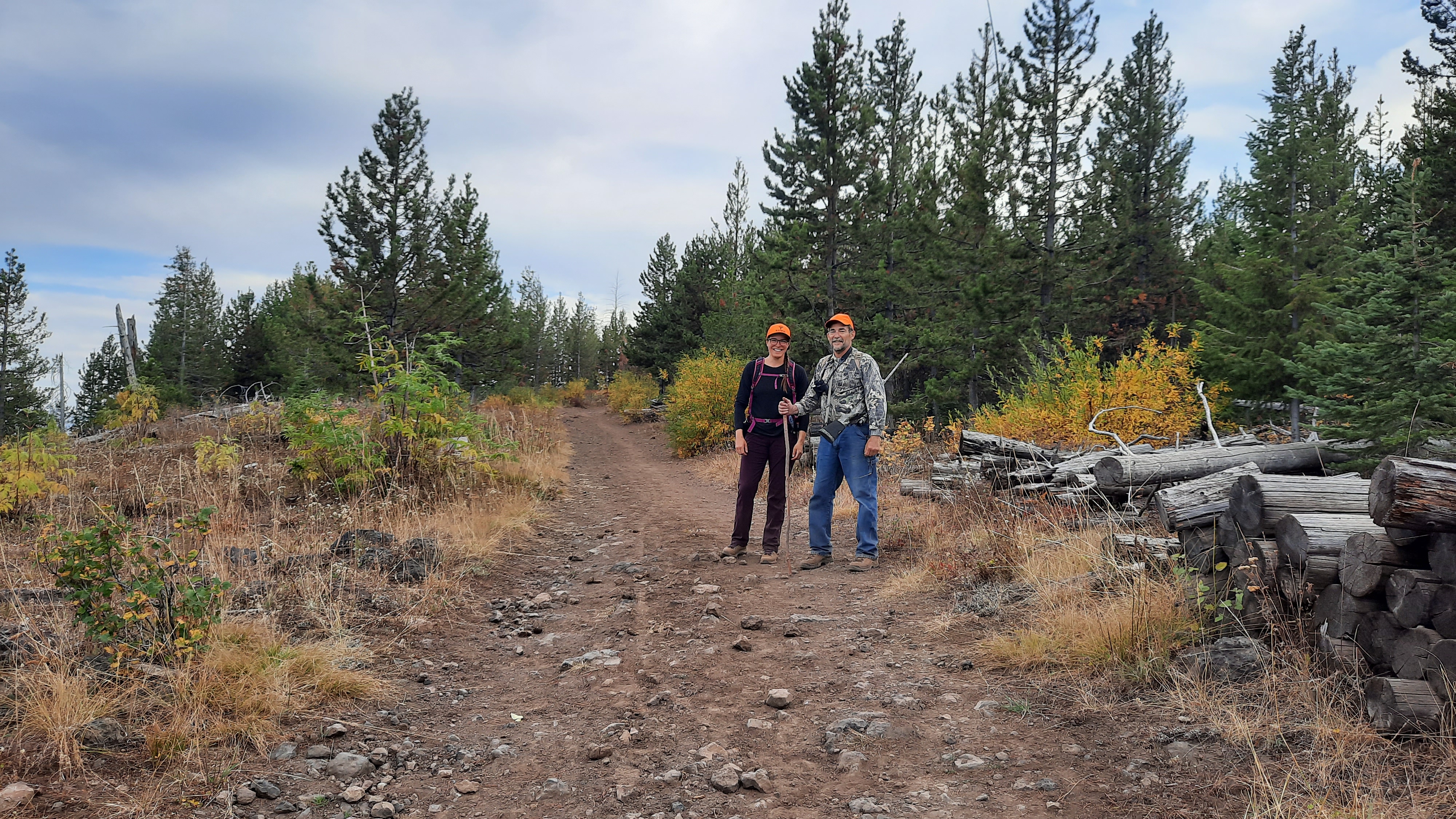
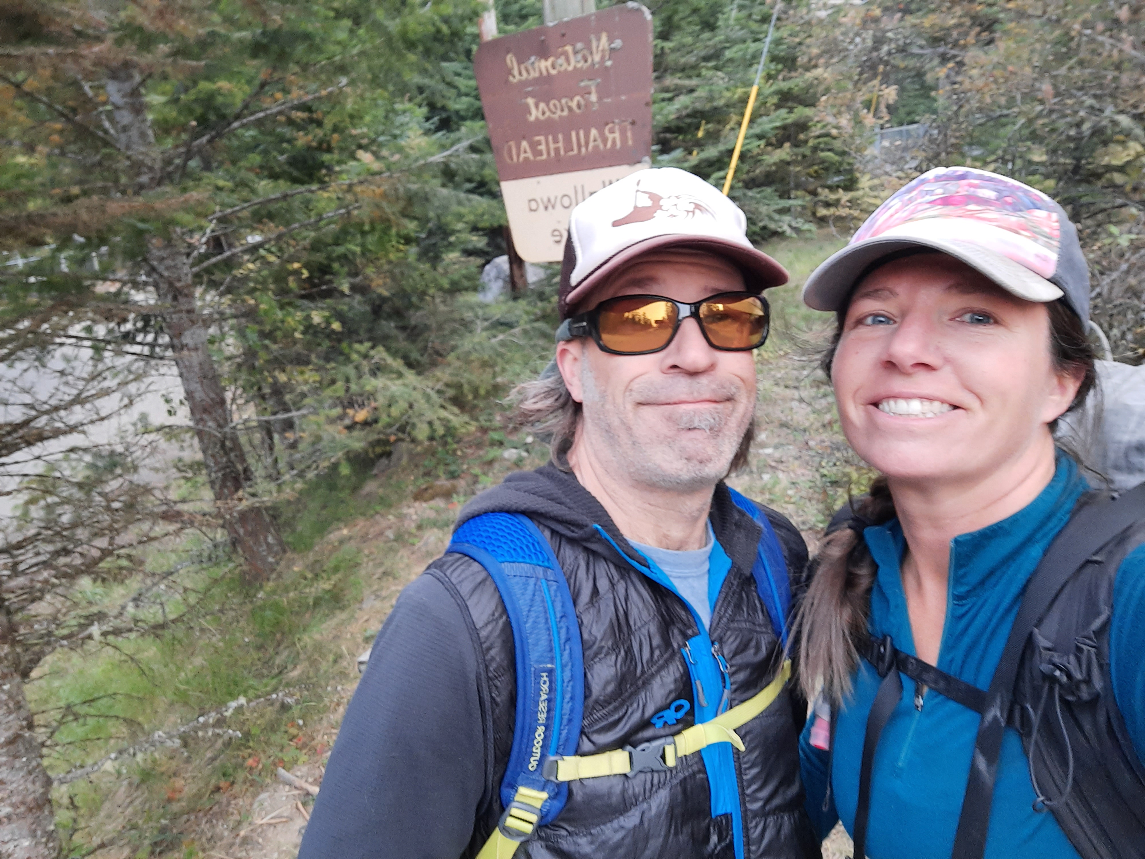
I met Christy again and she set me up with a salad, burger, fries, and a beer. Before I even got my food Kirk showed up and ordered the same, then Brooke and Adryon rolled in. Party time! Carrie would be driving out in the morning. We hopped in the cars and we drove what I had just hiked to find one of the open spots was still open. Yes! Cue the revelry.
friends!I love these peeps
A few parting thoughts (I’ll probably have more in the days to come): What this hike has clarified for me is that I need nature, and I need people, and I will fight for justice for both, because what else is there? It is everything.
If anything I’ve written about on this trip resonates with you, I invite you to go outside. Find a beautiful spot. Sit, and recognize you are a part of that nature. This is your home too. We are connected, we are a part of the natural world, and pass it on. Once more of us believe and act like the rivers are our veins and the mountains our bones, we can create a more equitable place for all live on this planet.
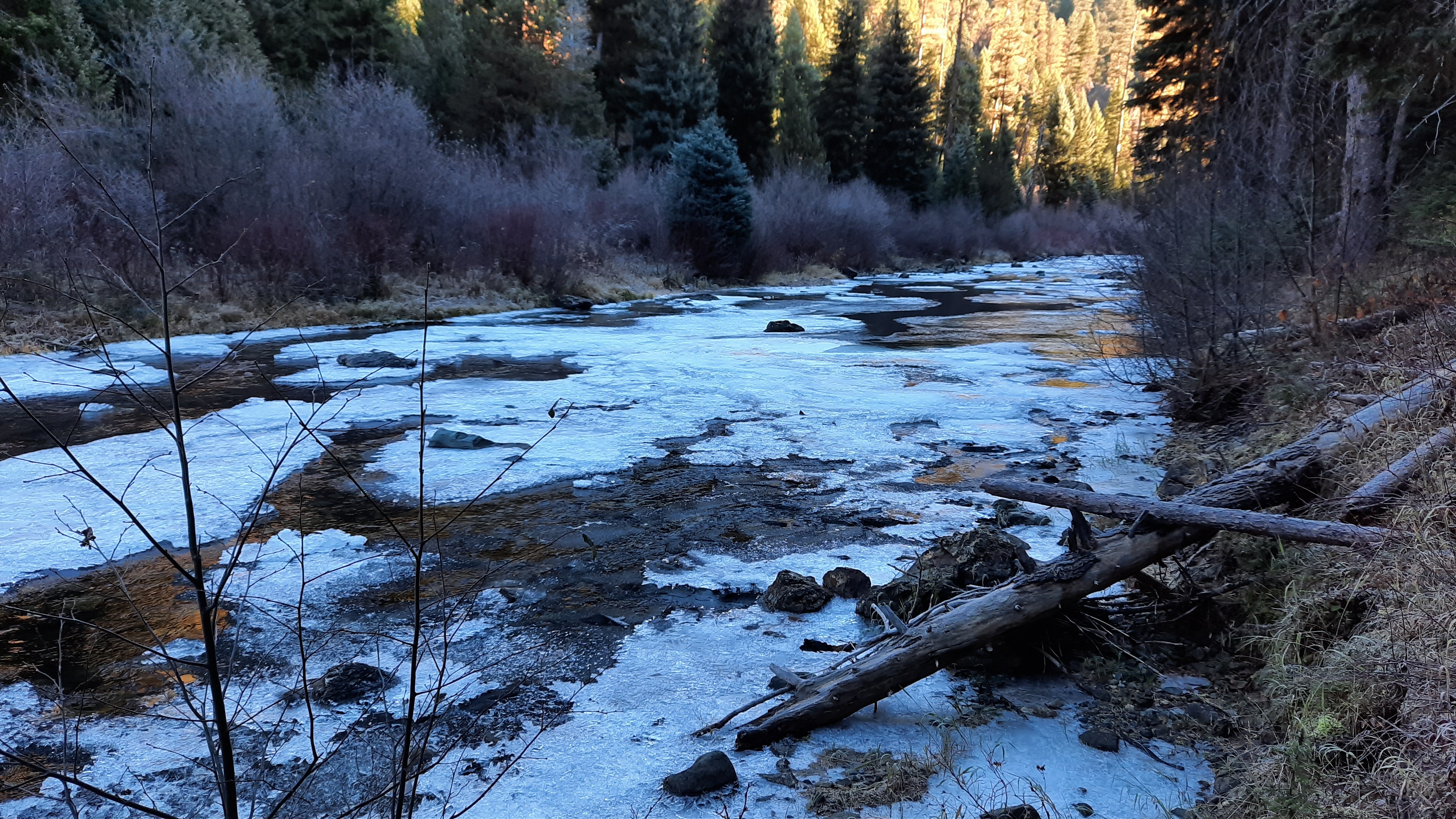
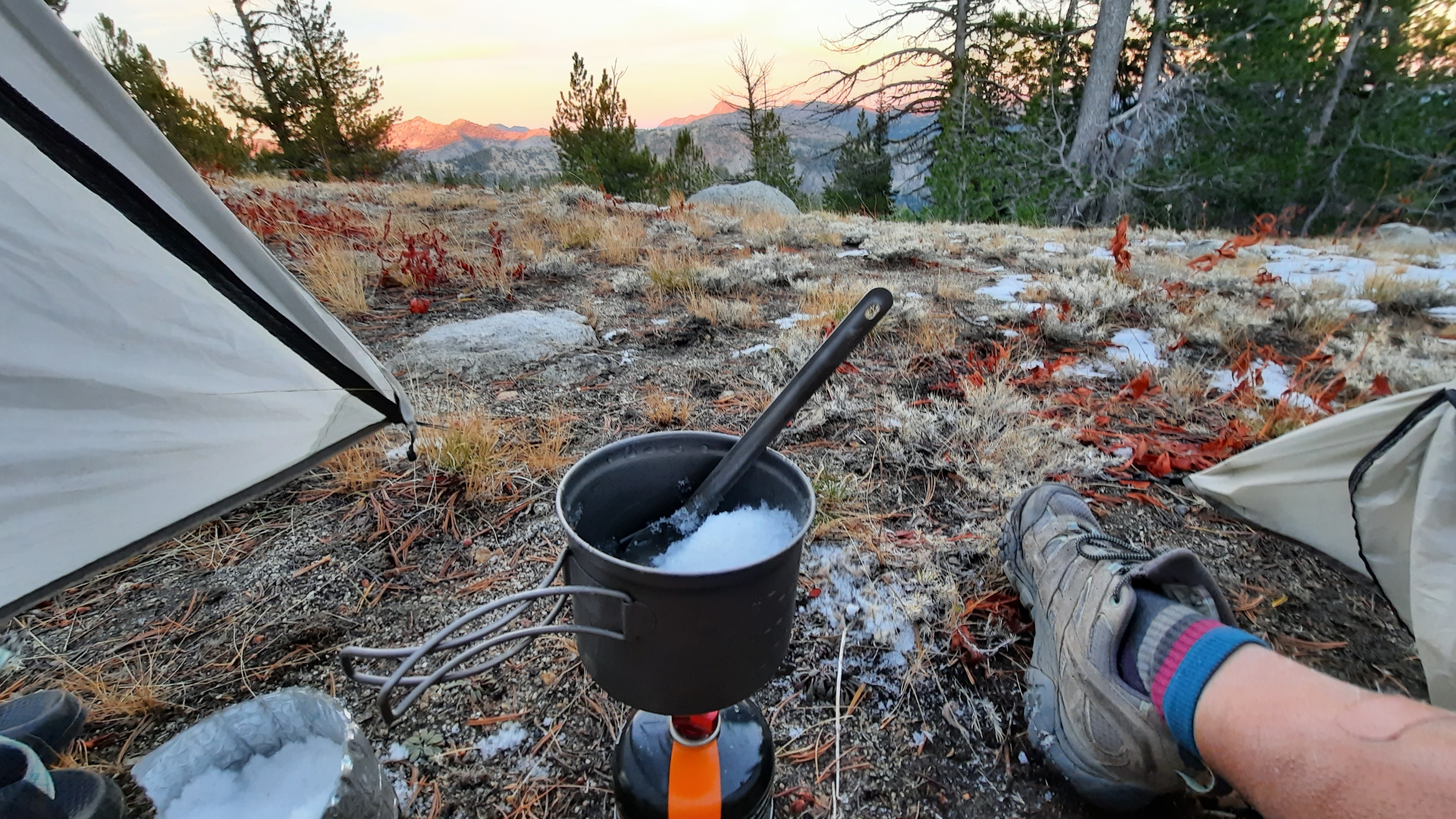
It got frosty on the North Fork of the John Day over night, but it was just a frost, not the deep penetrating cold of a few days ago.
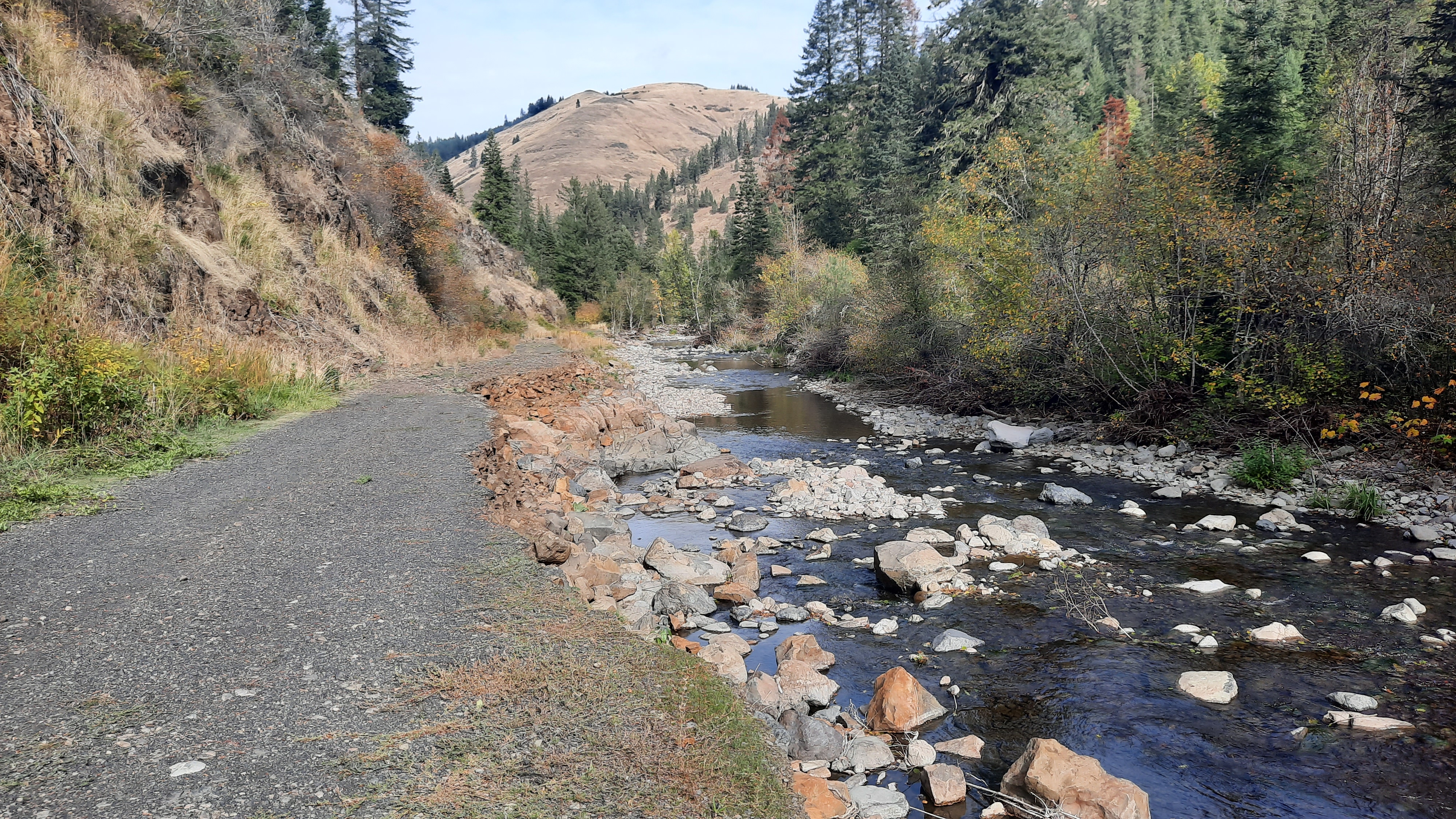
Now I’ve been to the North Fork before, both hiking and packrafting, but never this high up. It’s our tradition to do a river trip over Thanksgiving (turkey, pie and all) and one year we decided to packraft the North Fork. We drove through Dale to the point where we couldn’t drive anymore, then hiked our boats in. We found the water too shallow for any real boating, but it was a fun adventure all the same (you can read about it over on our packrafting blog).
Kirk though has boated this section before in a hardshell kayak. That story…apparently he and his friend Jason were on their way to do some boating in Idaho one summer, and when they were passing through, decided to check out the North Fork. They dropped a bike up top (where I would hike out on the Lake Creek Trail, then drove around to the the NF John Day Campground on highway 52, and kayaked to the confluence of Granite Creek. The hike out took three separate trips for boats and gear…it sounded back breaking.
You have to understand something about Kirk, he is on another level, even from me. For years he was a steep creeker, meaning he would pack his hard-shell kayak up small steep creeks (the more waterfalls the better) to paddle them and then have to find a way out. There are stories of lowering boats with ropes, epic bushwhack climbs out of narrow canyons…these were called Kirk Trips, and his friends usually knew a Kirk trip would be a lot of effort…and sometimes after an arduous hike into a small mountain creek, it wouldn’t even be runnable. He managed the boat shop Bend Whitewater for a decade, and guided rafting trips all over Oregon, like on the Rogue, North Umpqua, and Deschutes. When we met he regaled me with stories of running safety for Kevin Costner’s movie, The Postman. The whitewater segment was filmed above Smith Rock on a Class V section of the Crooked River. Kirk had to raft the stretch over and over as they filmed take after take of Kevin (really a dummy) falling into the river. Kirk would have to then retrieve the fake Kevin. Get him to tell you some stories some time. It was epic. Anyway, in a lot of senses what I do doesn’t hold a candle to what Kirk does, but we are good adventure partners, and I’ve learned to push my skills on water (well, I didn’t have any skills before I met Kirk). Part of my hike along the NF would include scouting the river for boating. I found things like river-wide logs blocking the channel, and huge boulders that would surely mean big rapids…rapids I might want to walk around, so I left waypoints at all these places so we could come back to packraft, and I would know to walk the trail around those sections. Scouting a river before you paddle into the unknown is mandatory, especially on wilderness runs.
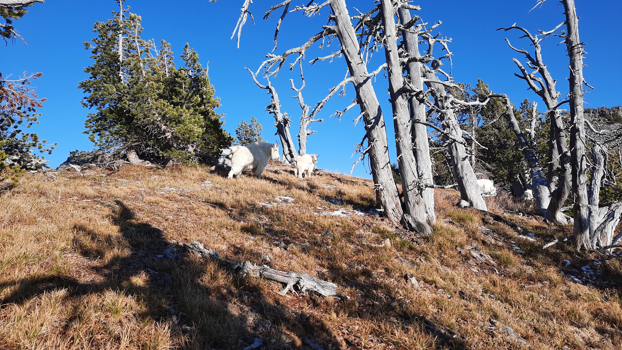
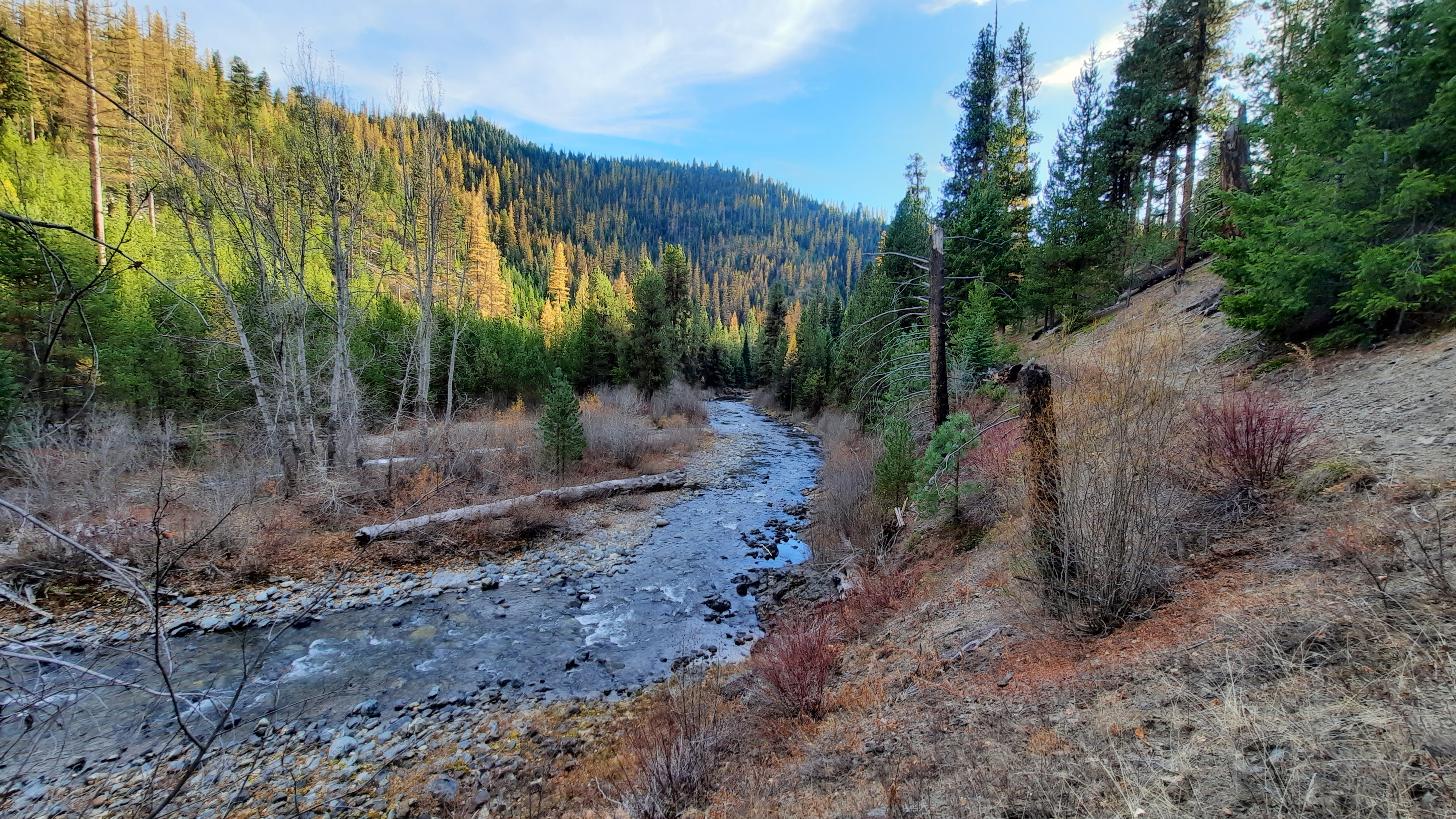
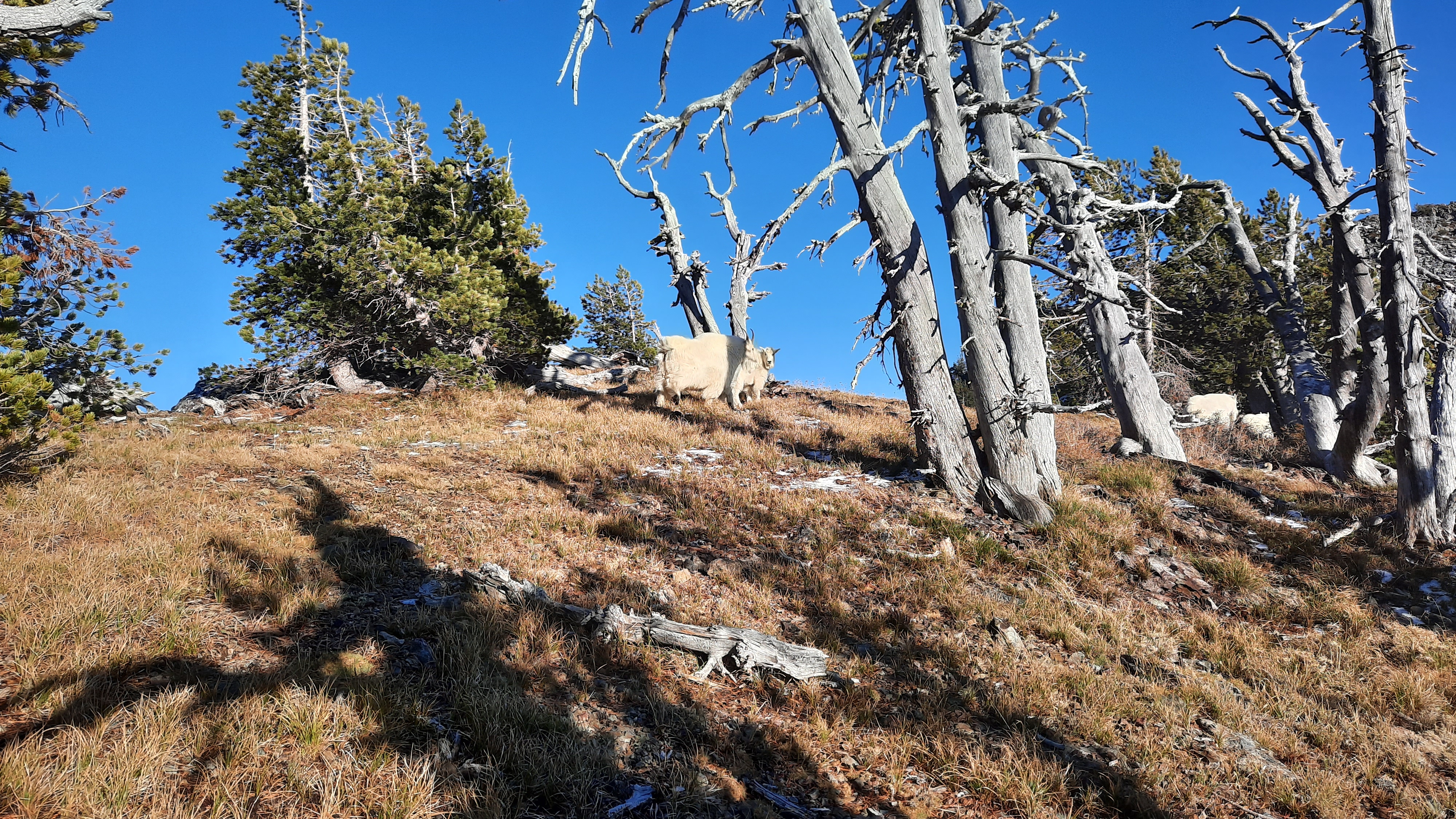
This section of the river was really dramatic, with steep rock cliffs towering over the water below. I spied two white dots across the way and realized they were mountain goats!! Wow!
mountain goats!
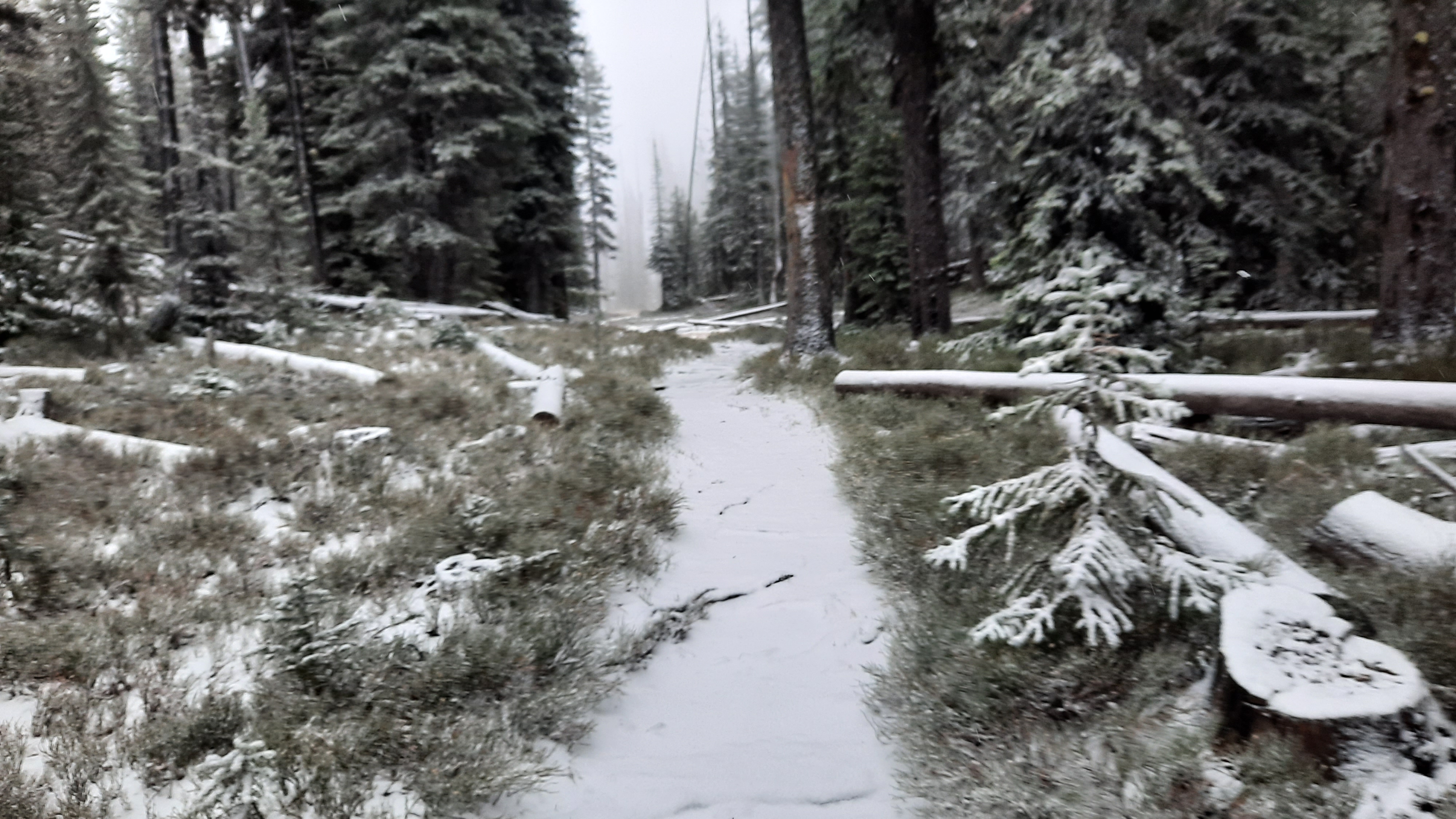
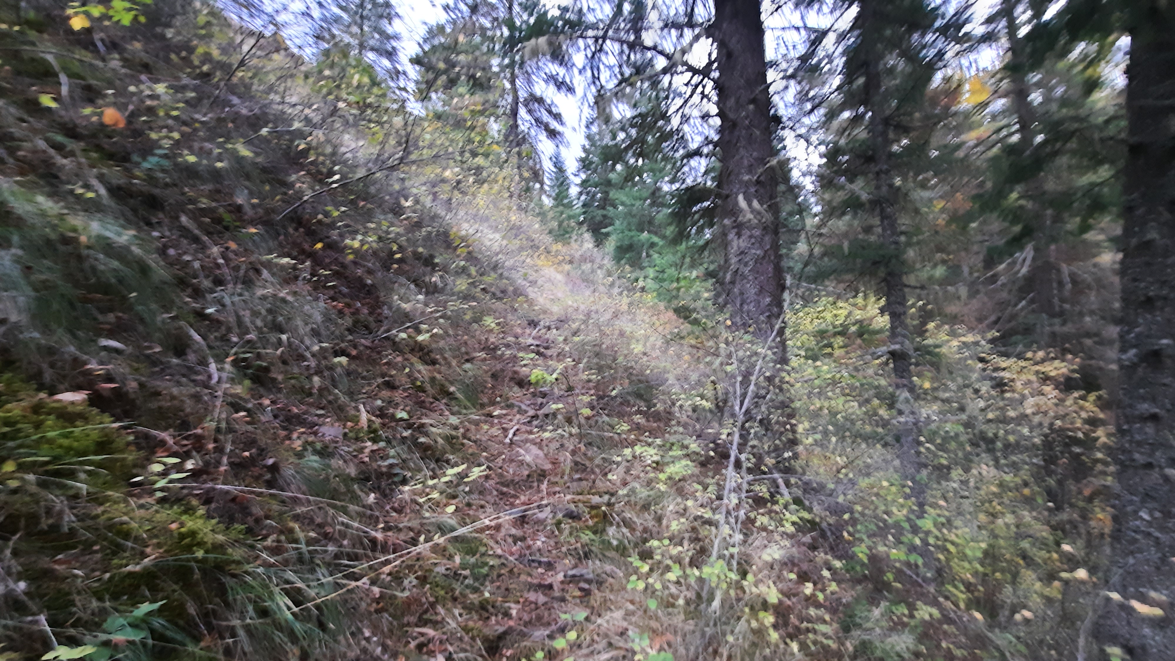
The trail was in decent shape, although it could really use some brushing. In some spots manzanita bushes practically force you off the trail.
my second ford was an icy affair
My climbing legs clicked into gear today. On the almost 6-mile 2,000′ climb out of the river, I kept a steady 3mph pace. In fact, all day it seemed like I climbed. ALL DAY. When I did the tally from the elevation profiles I had put on each of my maps, I found I had climbed 7,830′ today. Dude.
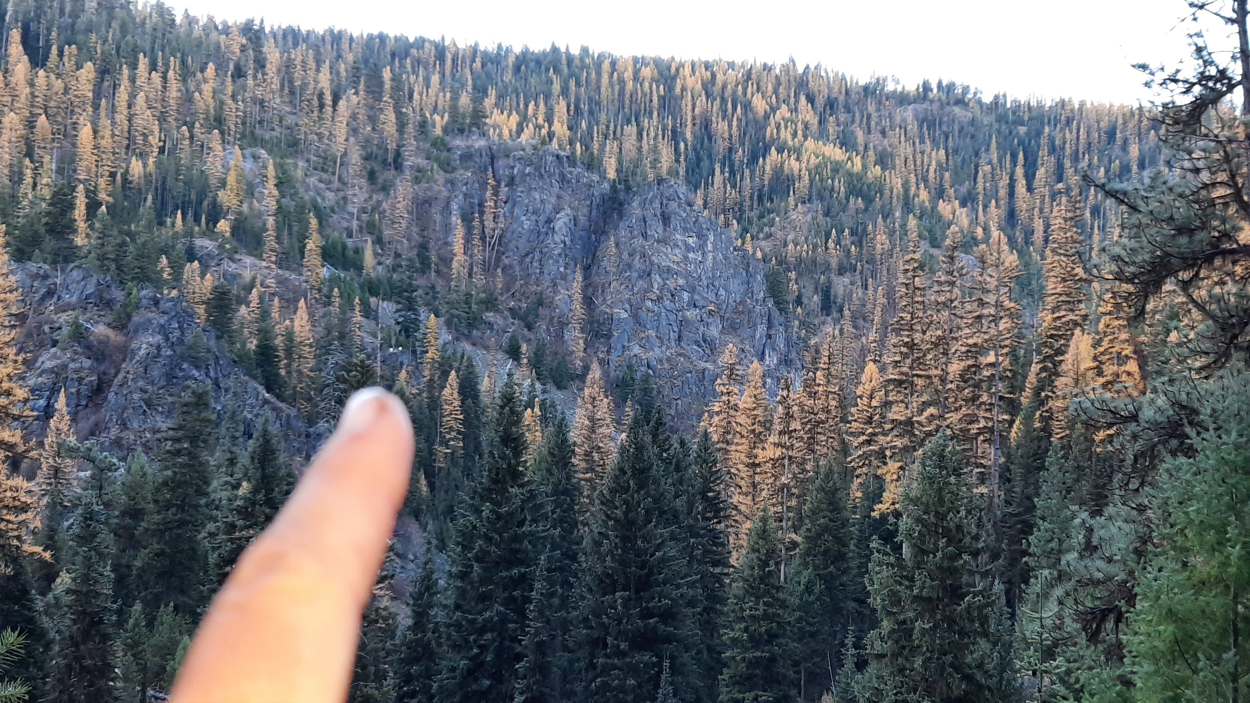
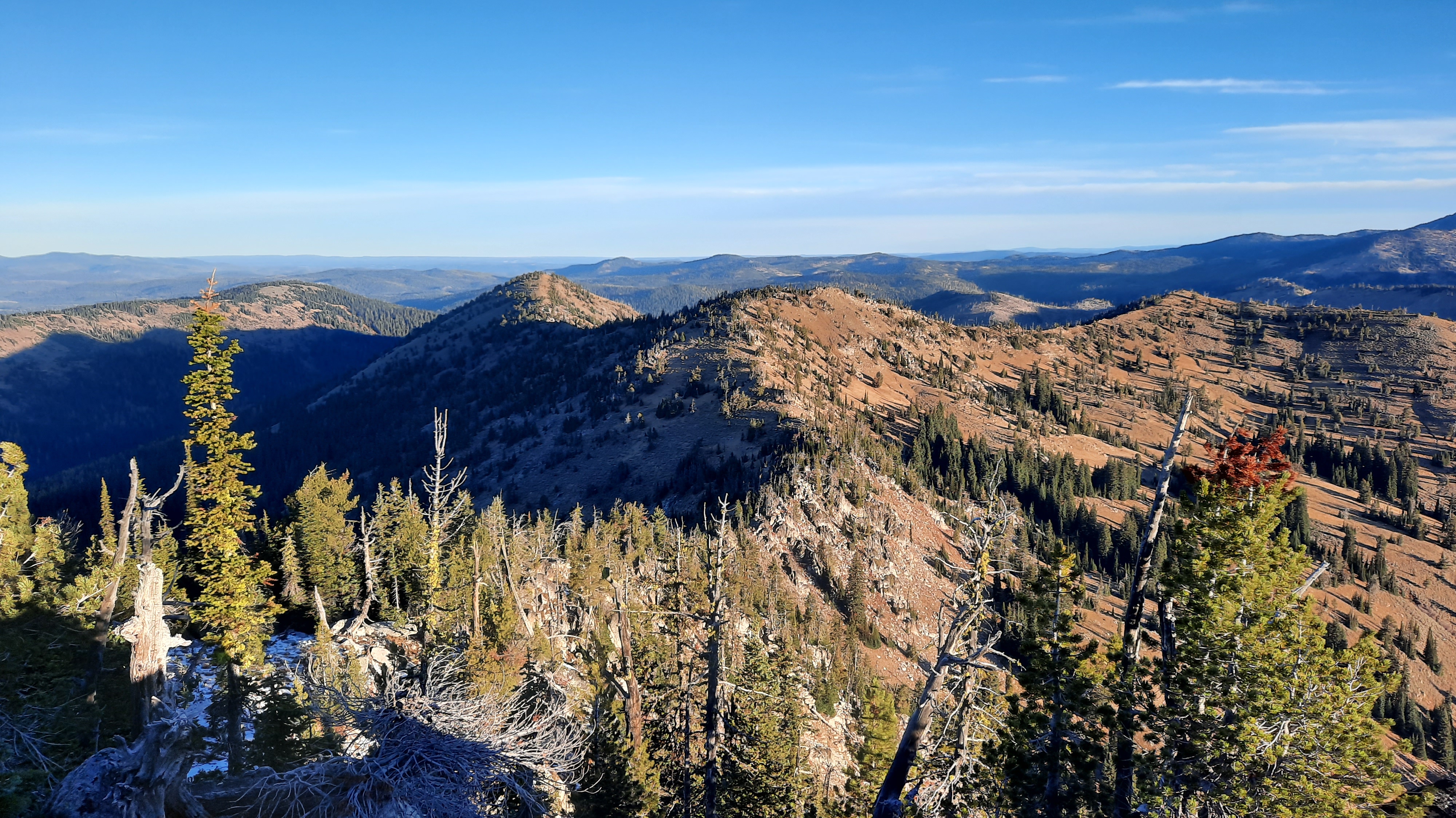
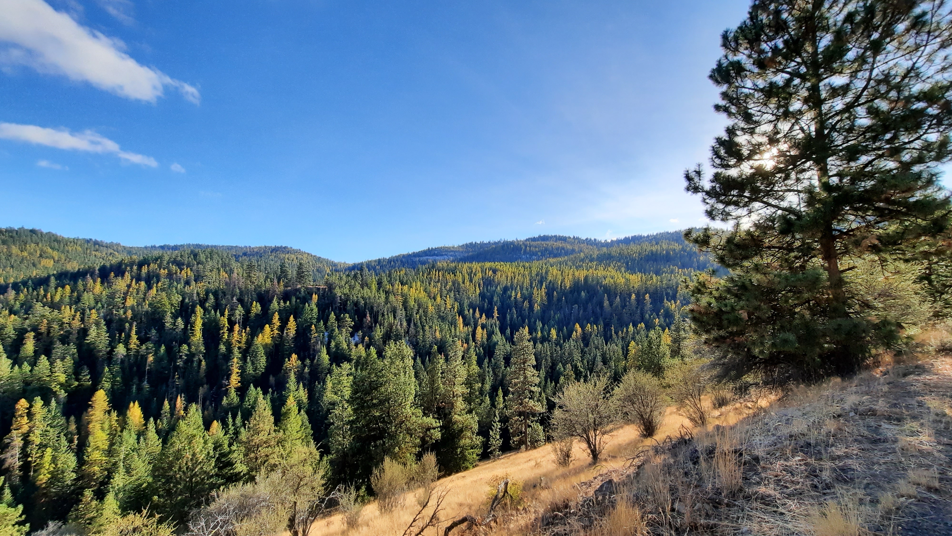
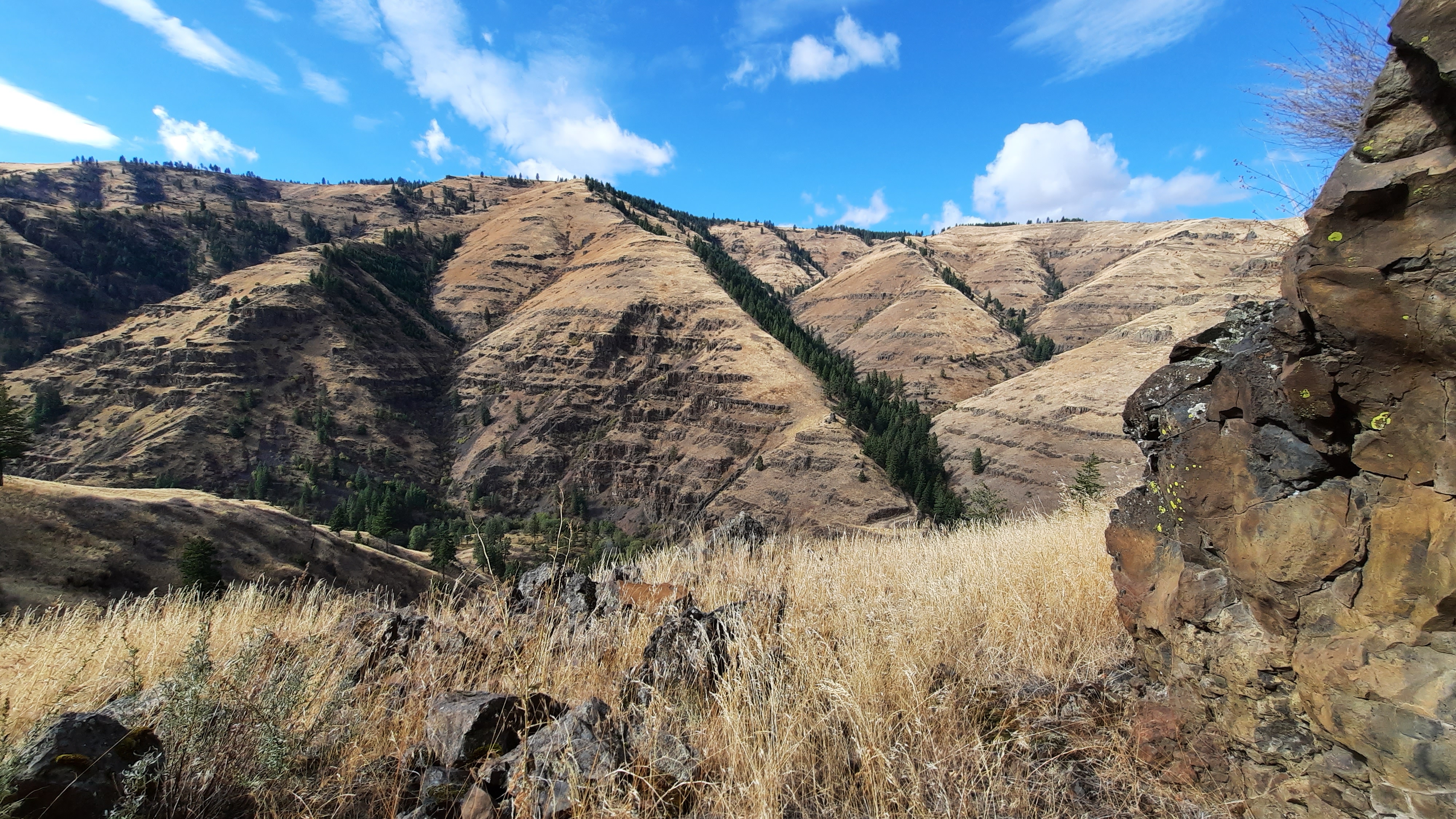
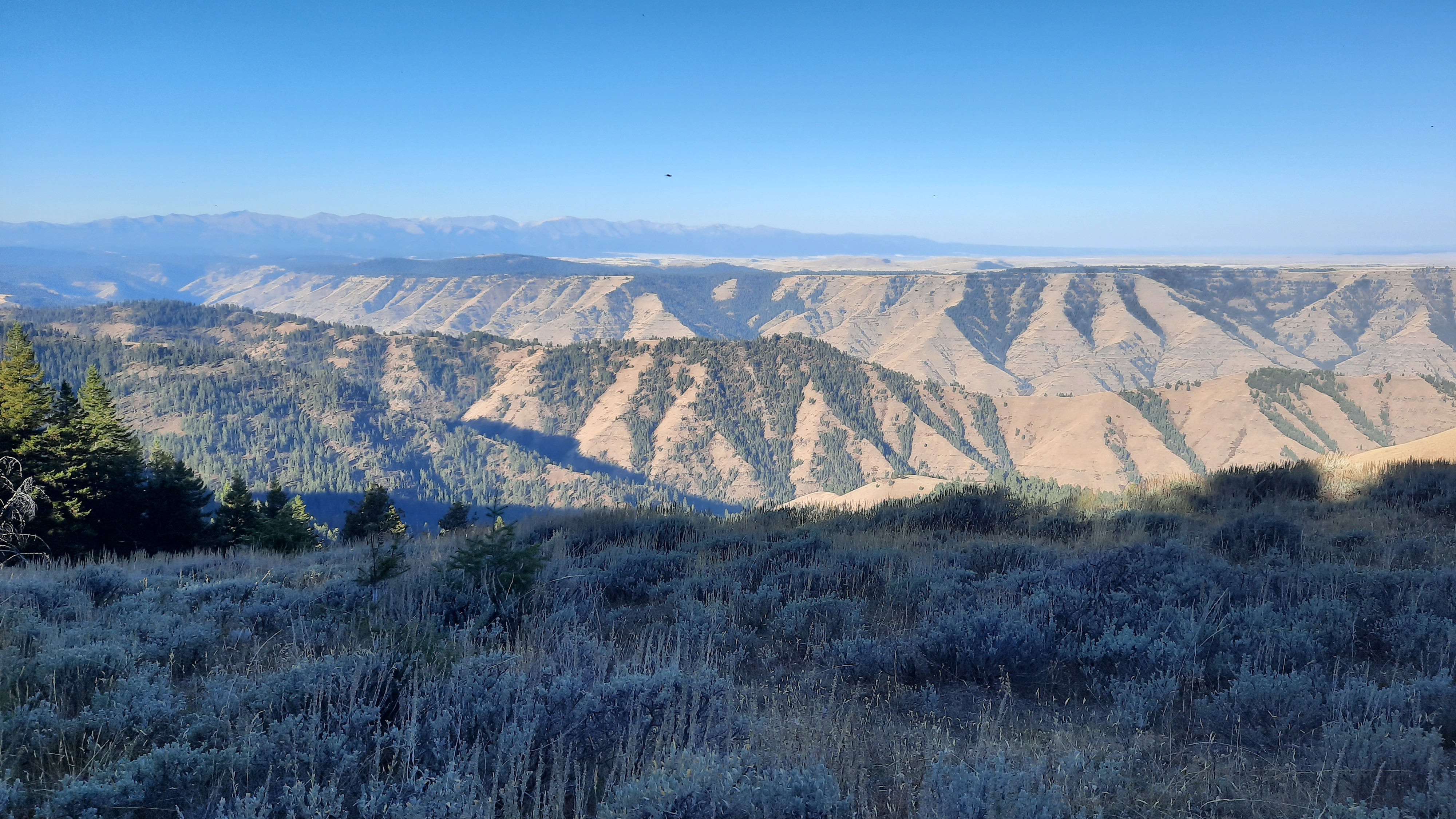
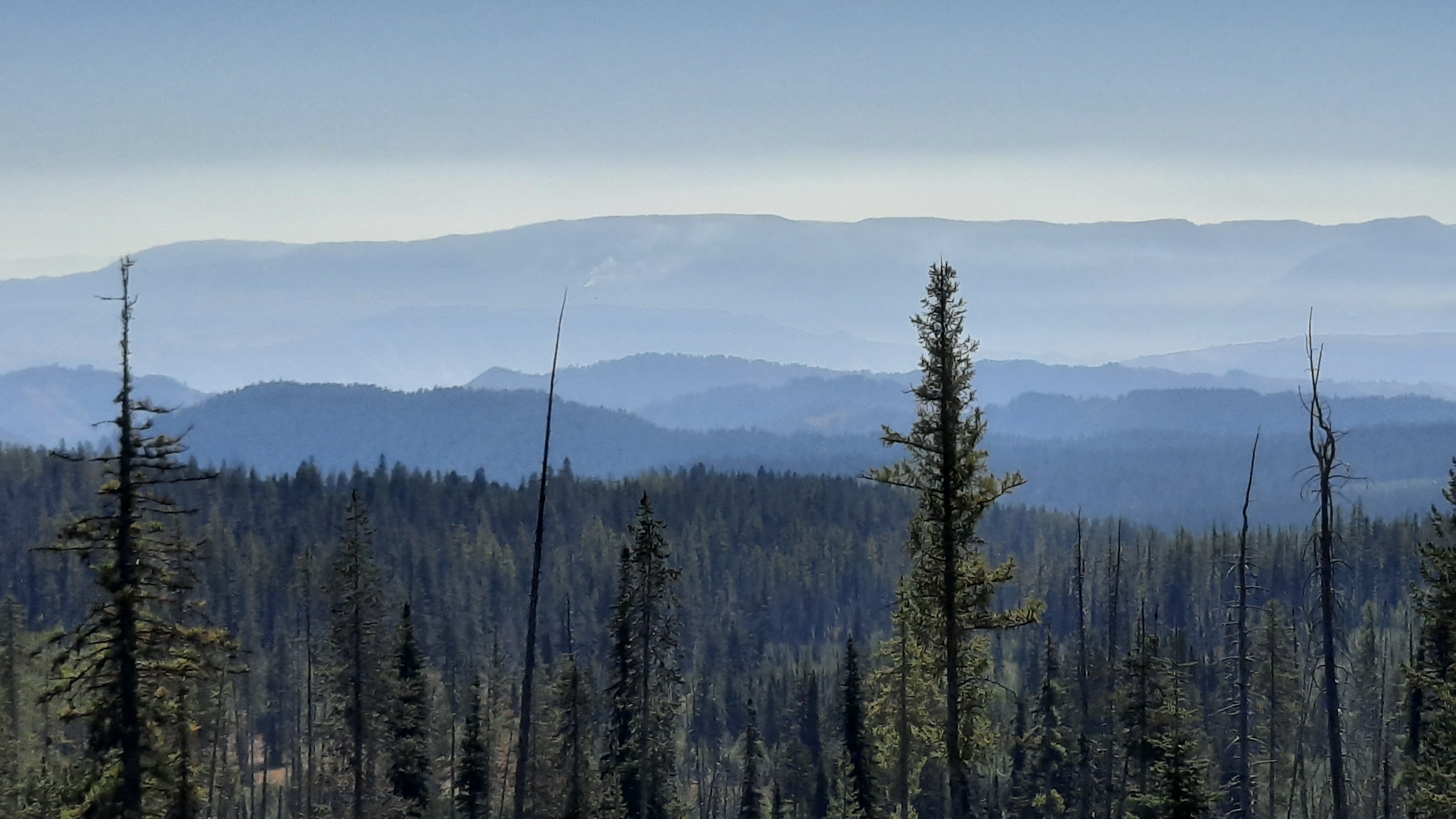
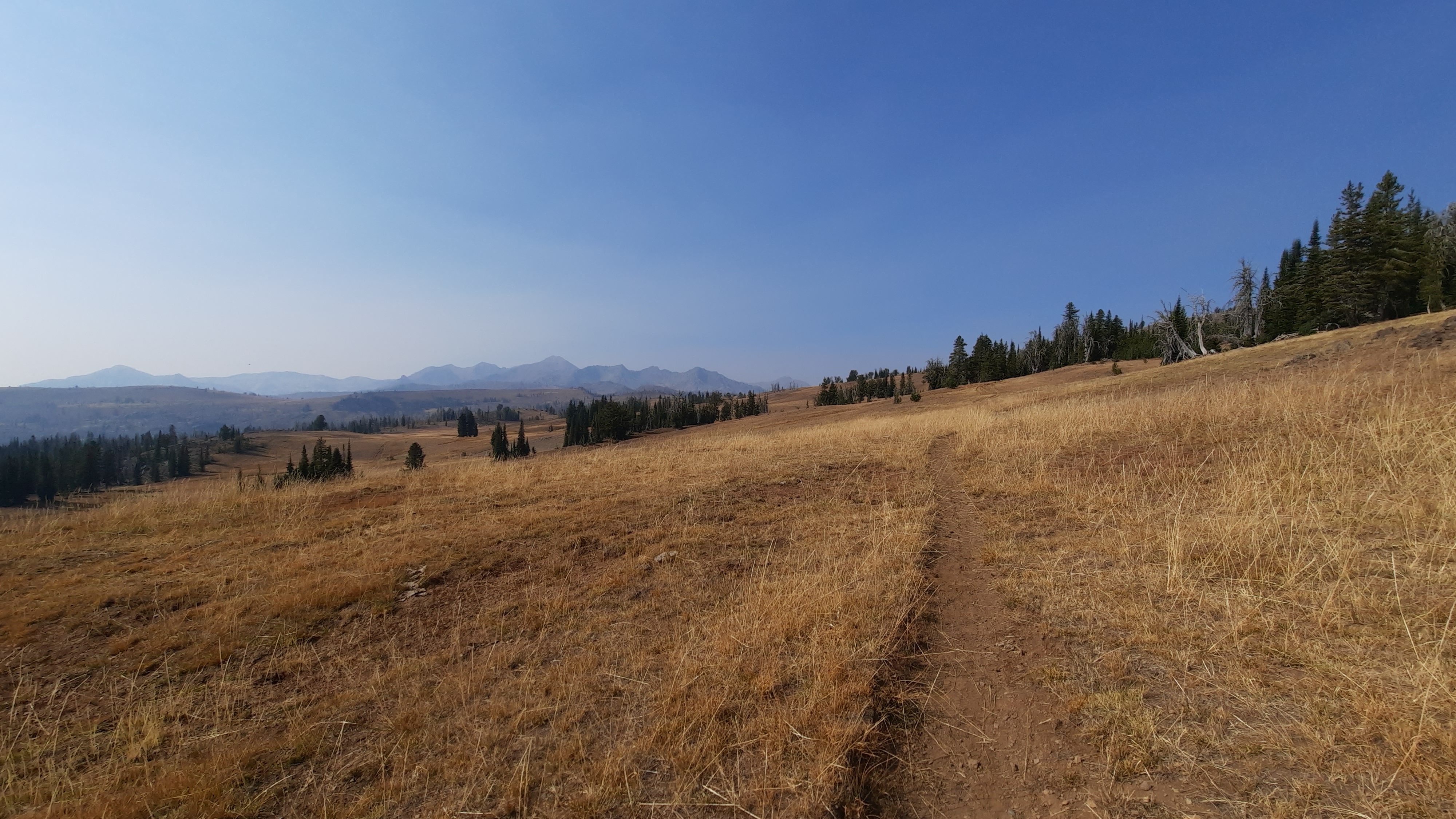
Any glimpse I got of the area round me today, was forests, vasts forests in every direction. And I would be entering a mountain range I had never even heard of: the Greenhorns. It astounds me how much Oregon has going on. I love it.
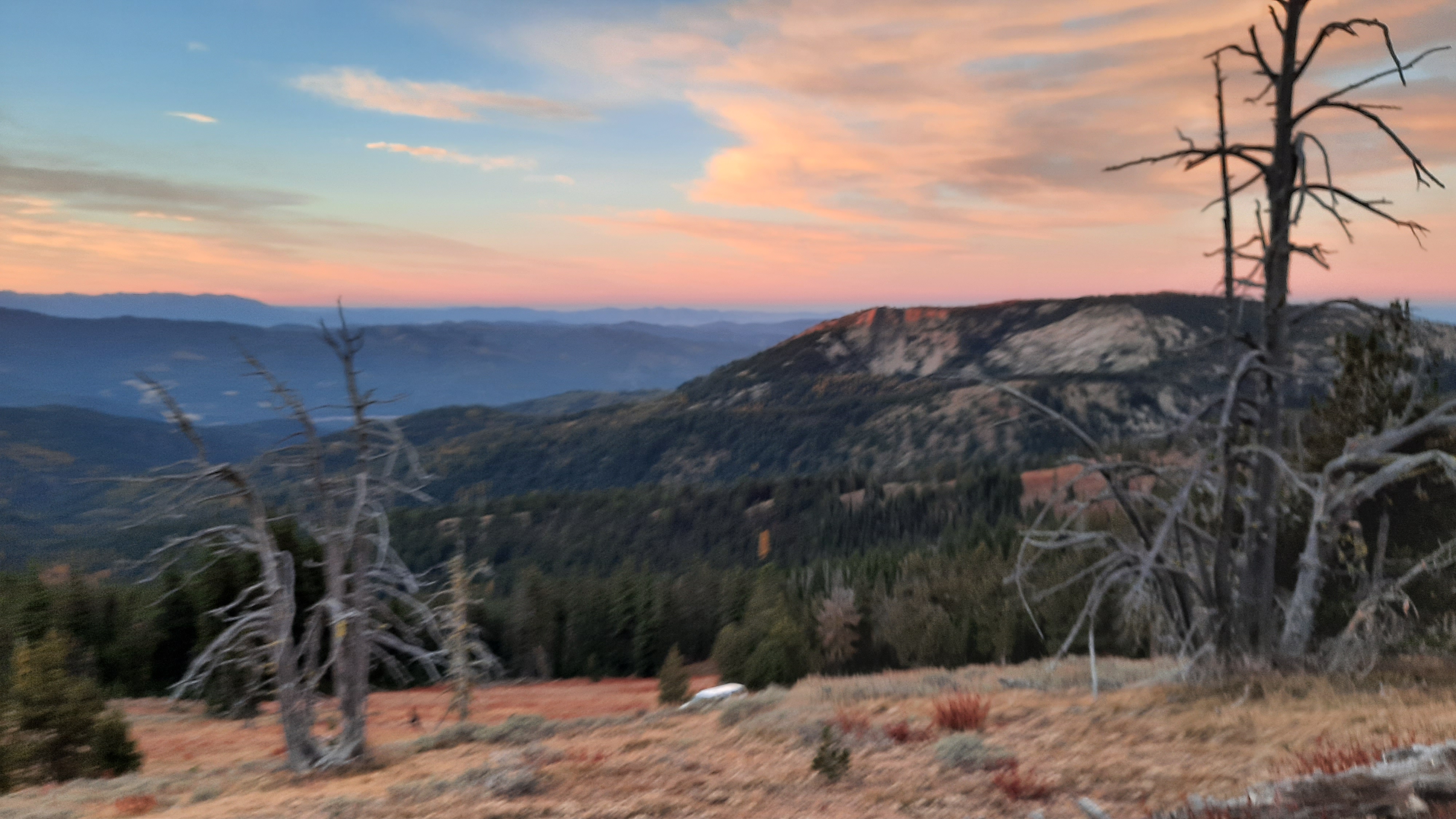
I camped on top of the Greenhorns, my elevation is almost 7,600′, but it’s a mild evening, and fairly warm for the end of October.
I pushed hard today to set myself up for a cruising last day into Austin Junction tomorrow. That’s right! My last night on the trail! I’ll complete the entire Blue Mountains Trail tomorrow by connecting my footsteps with the John Day to Austin Junction section I hiked in August. The pain in my right heel tells me it’s time to be done, and the fact that I’m thinking dreamily of curling up on the couch under a blanket and watching a movie tells me it’s almost hibernation time (well, until ski season, and our Thanksgiving raft trip, and…)
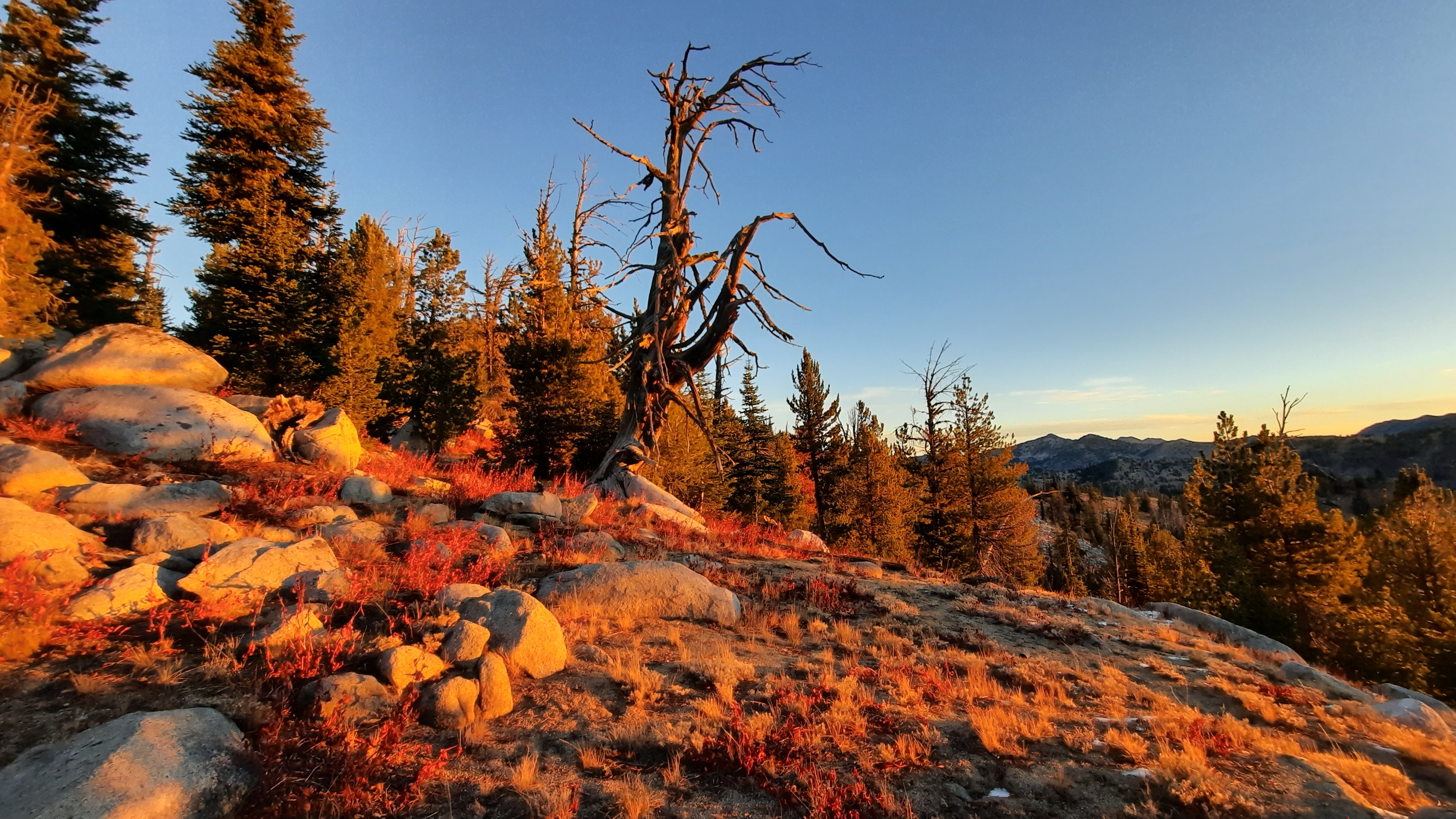
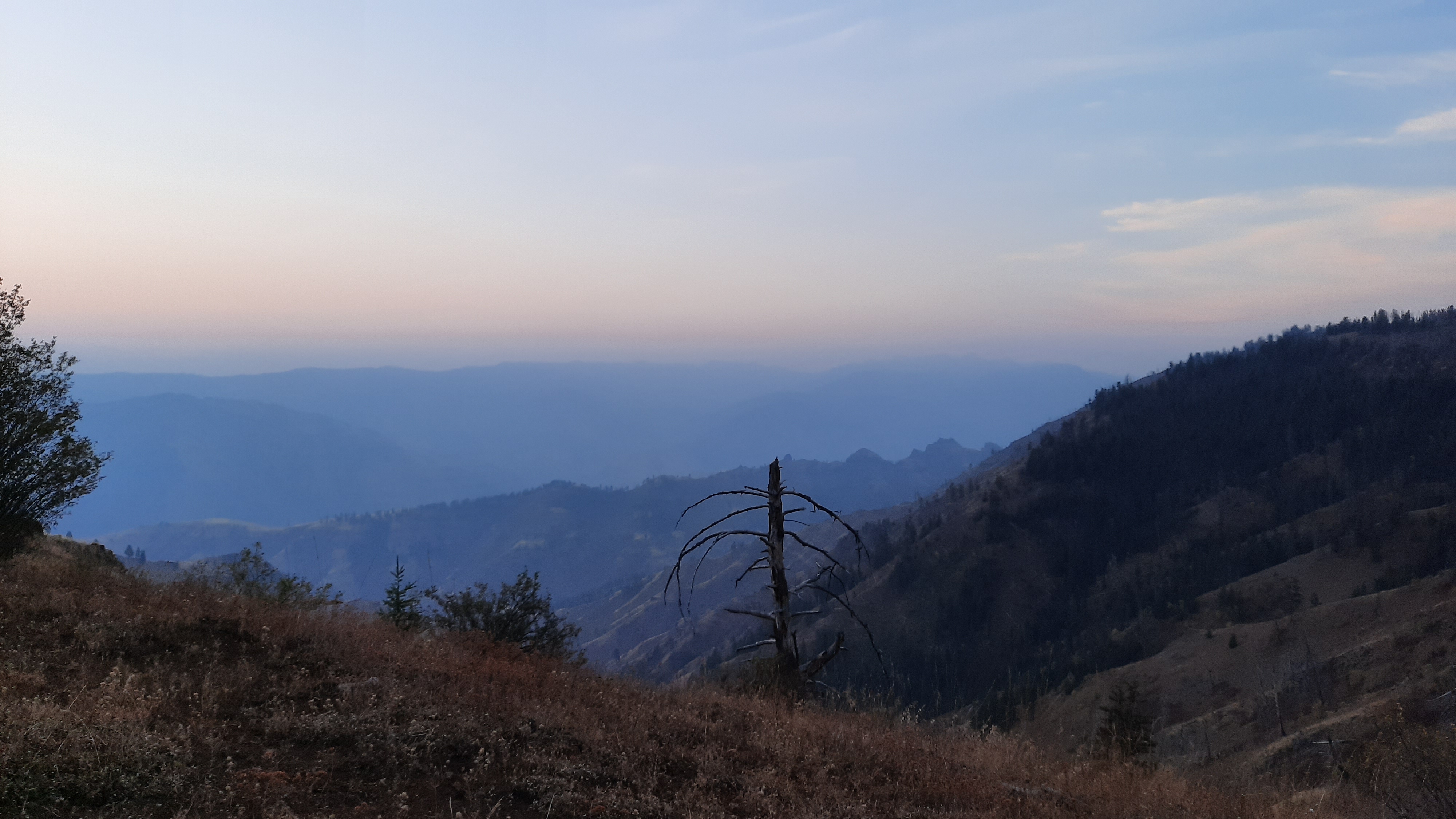
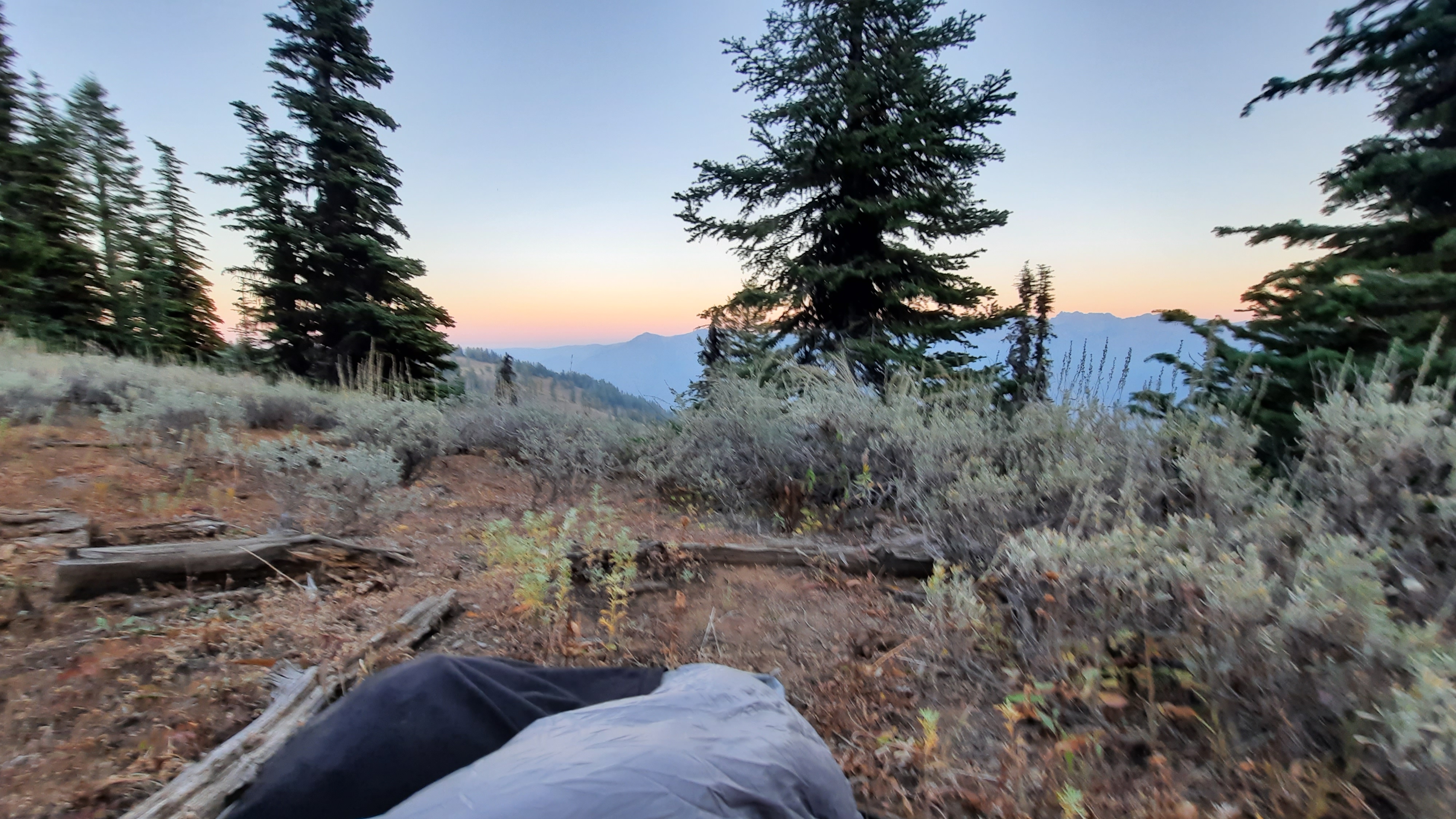
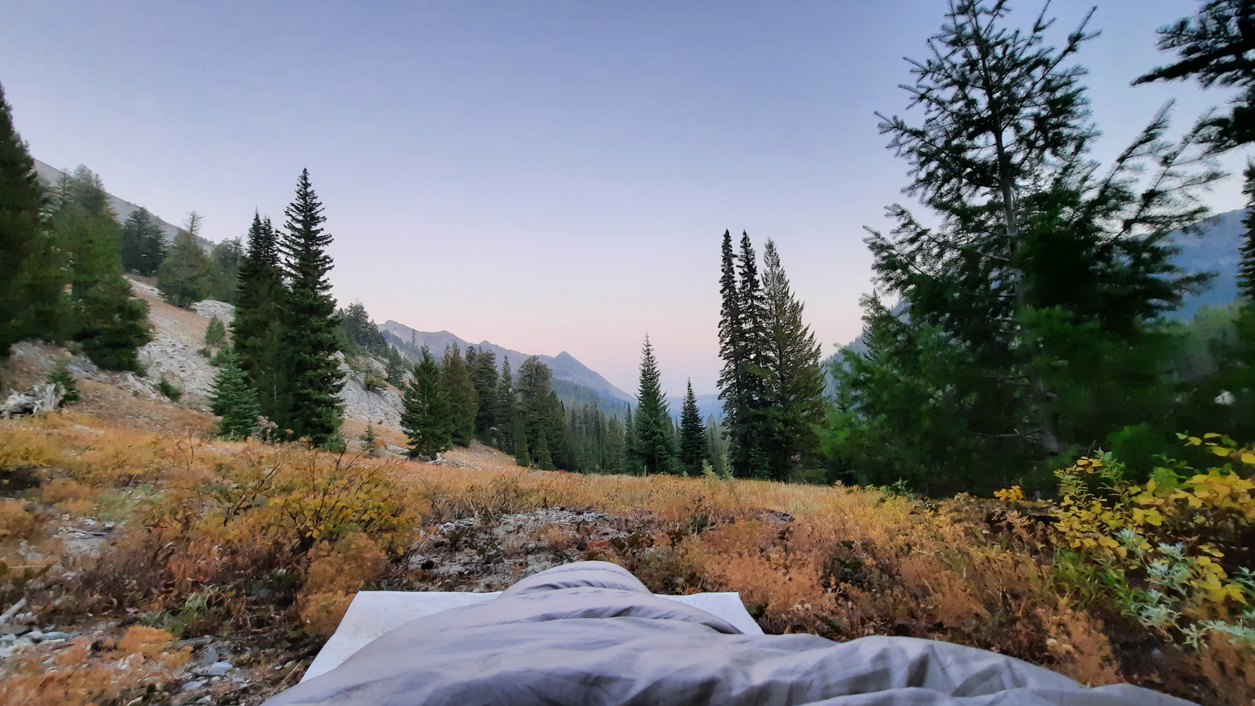
I positioned my tent so the door faced east, and at 6:15am the sky started to glow on the horizon as the last stars held onto the night above over the Elkhorn Mountains. It was breathtaking.
I had some cell phone reception and was doing some scrolling (and posting) on Instagram this morning. I’ve been following another long-distance hiker (trail name Blackalachian) on Instagram for the past few years, and early this morning he posted a few stories about his dream of climbing Mt Everest. The next few stories however, he came back on camera to share that he had been told by many of his followers that it would be impossible for him to do (too expensive, too far, too strenuous), and he should just forget it. Props to Daniel (real name) for pushing back and voicing that crushing someone’s dreams is not an option. We don’t know what he is capable of, and he not going to let other people set his limits for him. 100% Daniel! If we listened to the people who said it was too far, too hard, too much for us, we’d be home sad and scared of the world. It’s up to us to define our limits, and push them, and make new limits. My current mantra is Live Now (I think it always has been…I’m just verbalizing it now). That’s my hope for all of you too. Live now. Nothing is guaranteed. Live now.
As I watched the sunrise, Cinder Well’s song Our Lady’s started playing. I’ve listen to this song a lot this month, and it absolutely slays me. (It’s a long song…let it play. My favorite part starts at about 2:40 and lasts until the end at 9 minutes.) This was turning out to be quite a start to the day: the sunrise, the music, the feeling that it was all connected, I was connected. Very moving.
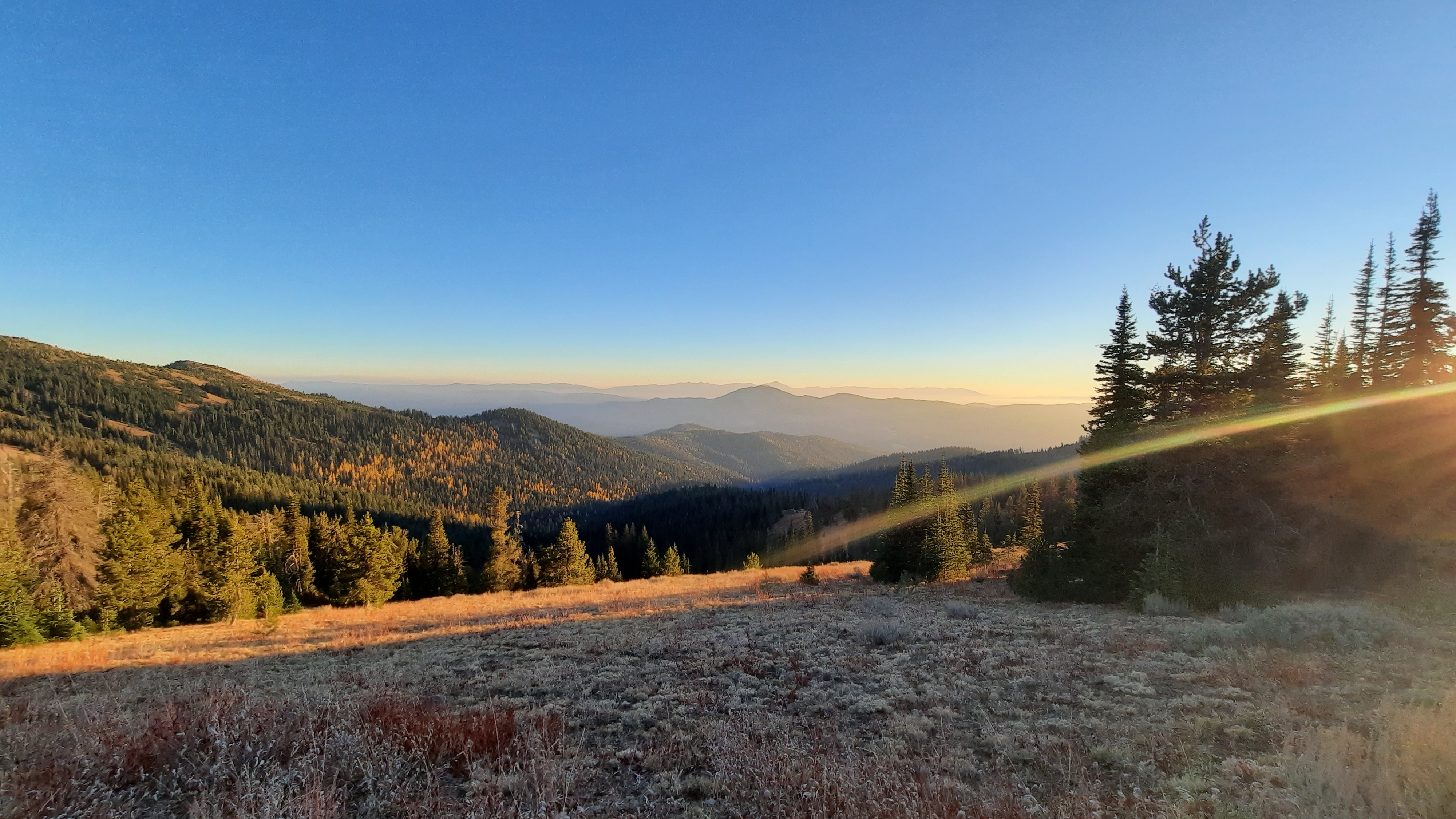
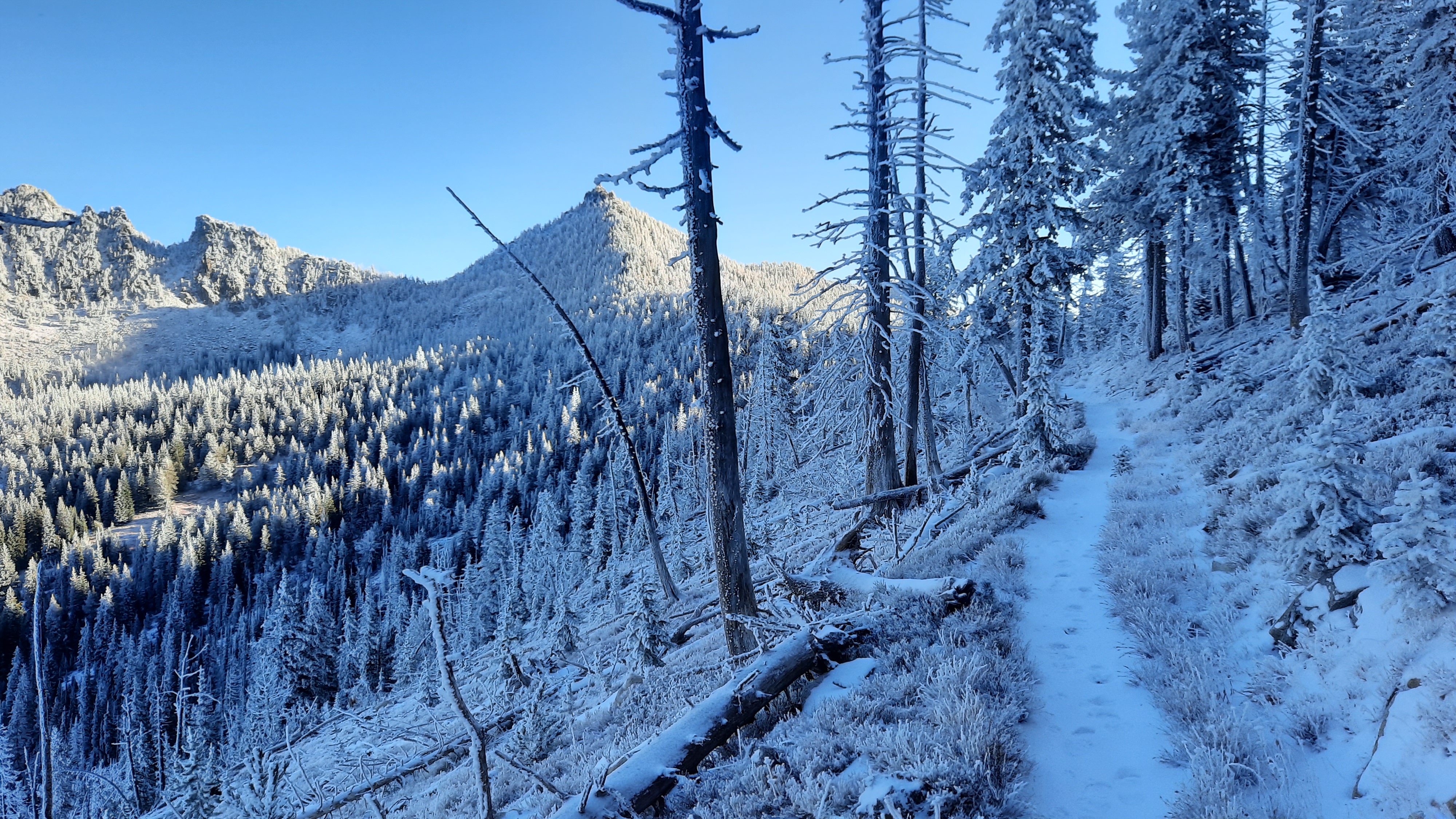
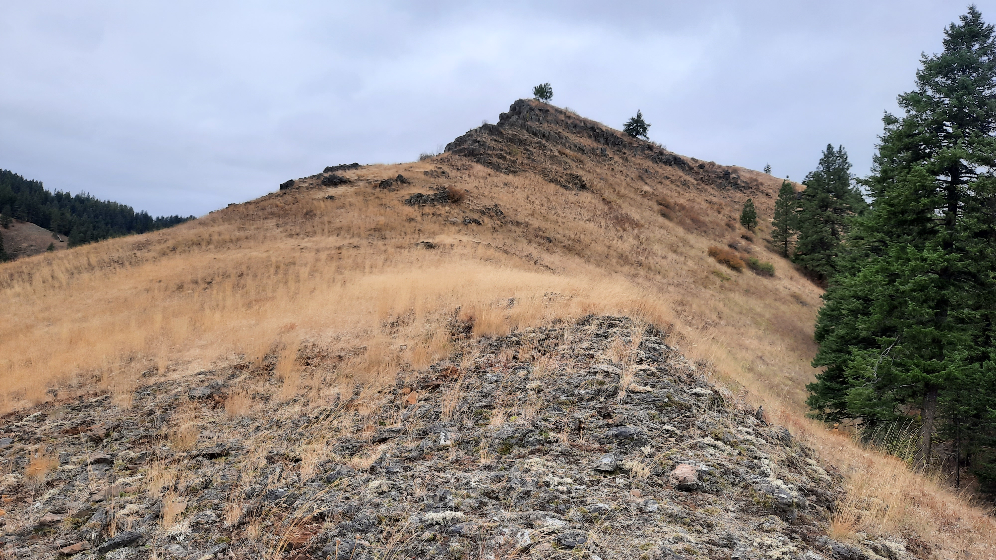
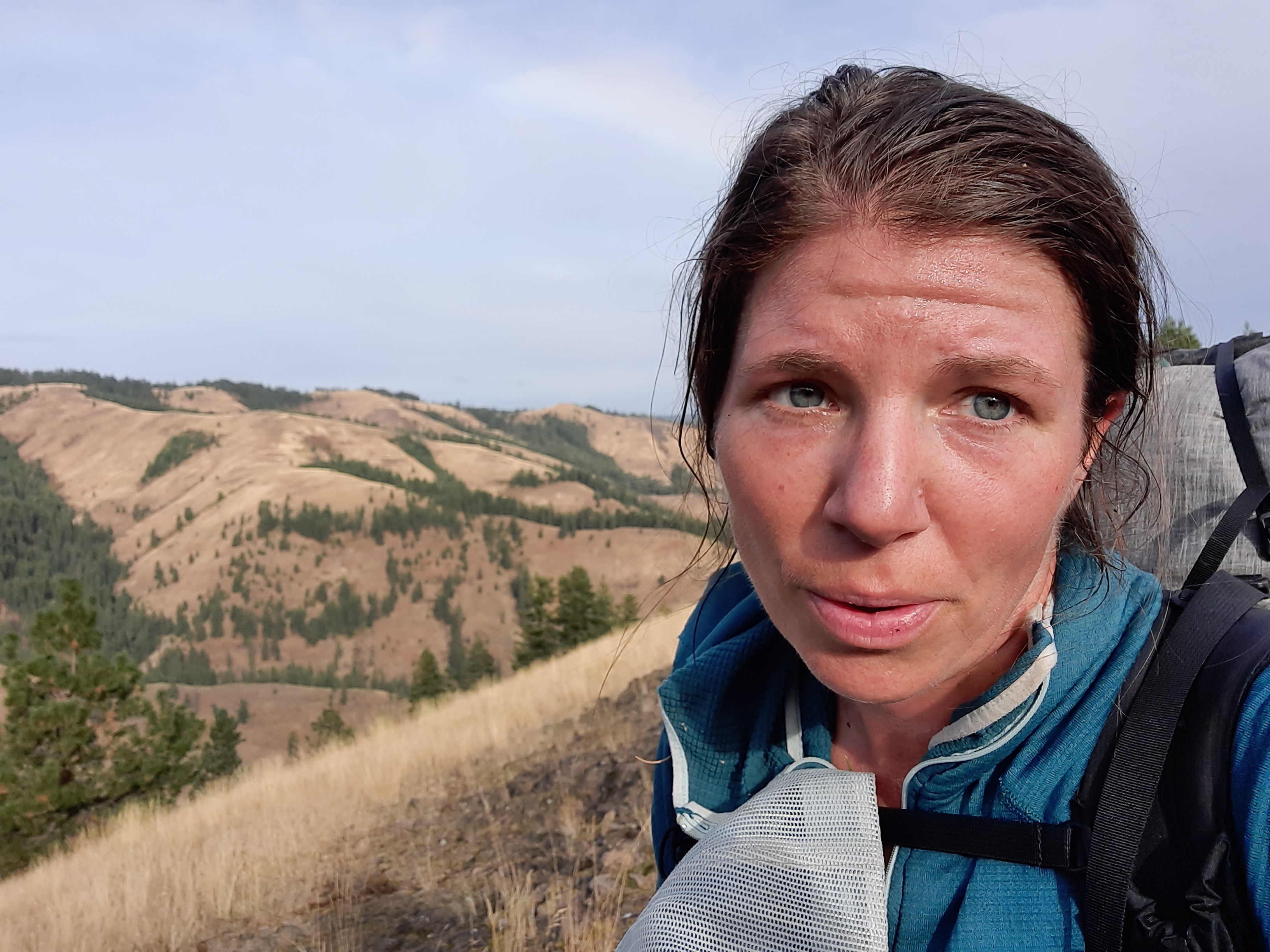
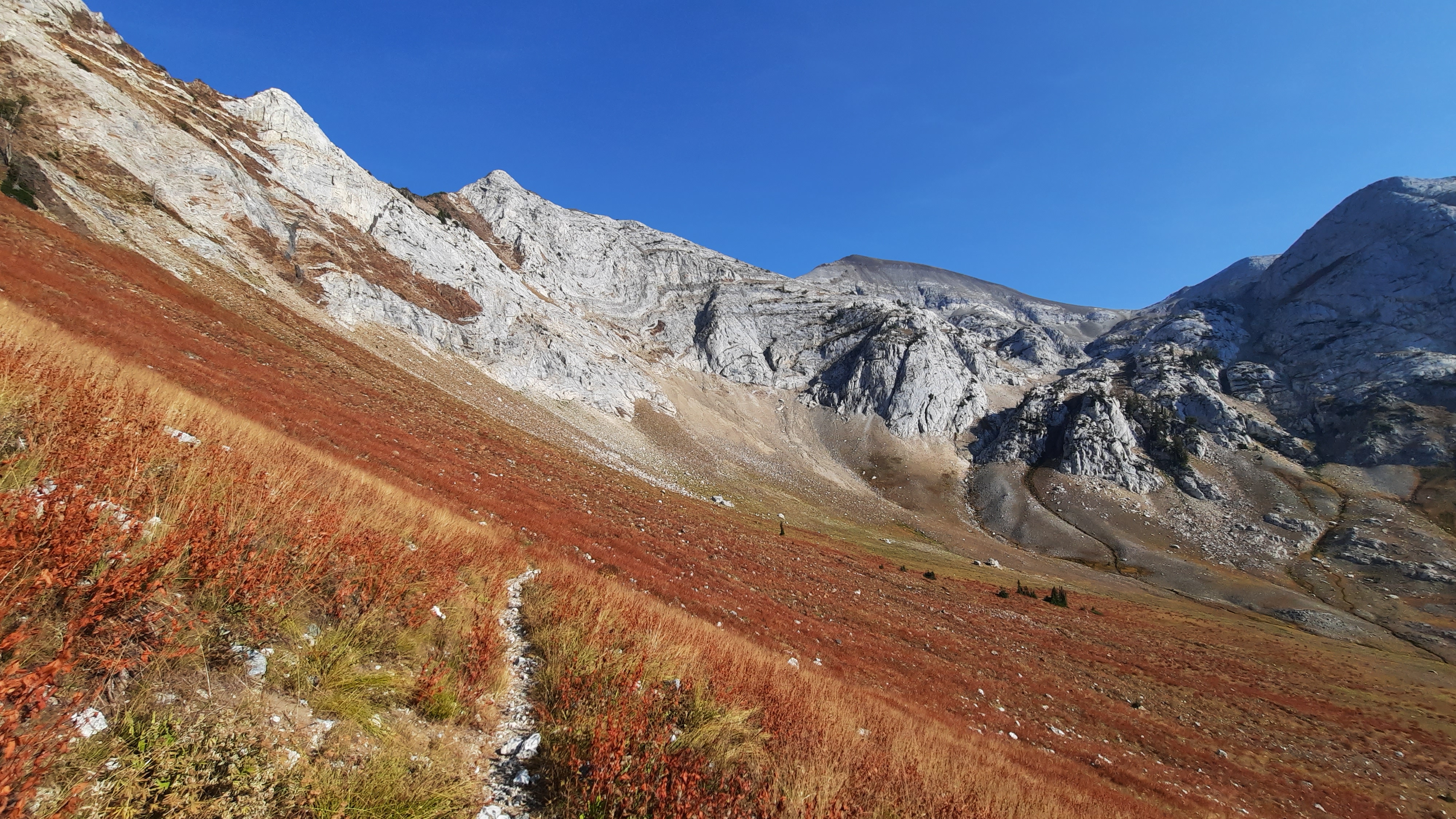
Pack on, I hiked to the summit of Crown Point and paused to take it all in. Wow.
Going up and over was proving to be easier than the one little steep section yesterday, and I was happy with my route choice. The ground was still slick in places with snow, so I held hands with the trees so they could help me control my descent on the frozen patches, and now my hands smell like evergreens….mmmmmmm.
Then I found the trail! And I was expecting a bushwack, but it wasn’t…there were a few trees to navigate around, but the going was good.
I got water at a creek and continued on beautiful wonderful trail for a few more miles. The forest was green, the ground white and yellow from dropped Larch needles, and the sunlight flitered through the trees to dapple the trail and forest (and me) in light. It was incredible.
I was in the flow. Me and the world…vibeing.
Towards a road the trail was buried under more trees, and after some rummaging around between a bunch of dead fall I noticed a cut end of a log and yelled out, “trail!” That had been our habit on the PCT in the Sierra Mountains in 2006. So much of our route was covered in snow that when we did find the elusive tread we yelled “trail!” triumphantly in awe that we could stay on track in the white cold that blanketed the land. It was a true test of our map and terrain reading skills, especially in the days before everyone carried a gps. And I was not included in that “our”…the PCT was my first experience with map reading and navigating. I would look over other hiker’s shoulders as they were looking at maps and placing ourselves. Yes, there was a day when I didn’t have the skills.
I had found the trail, then promptly lost it again.
Today I couldn’t get enough of the “cheezy” almonds I was carrying from Gather Nuts. The “cheeze” was nutritional yeast, and my body wanted it. (Reminder…some of my sponsors have given me coupon codes to share with you…all are listed on my gear list page).
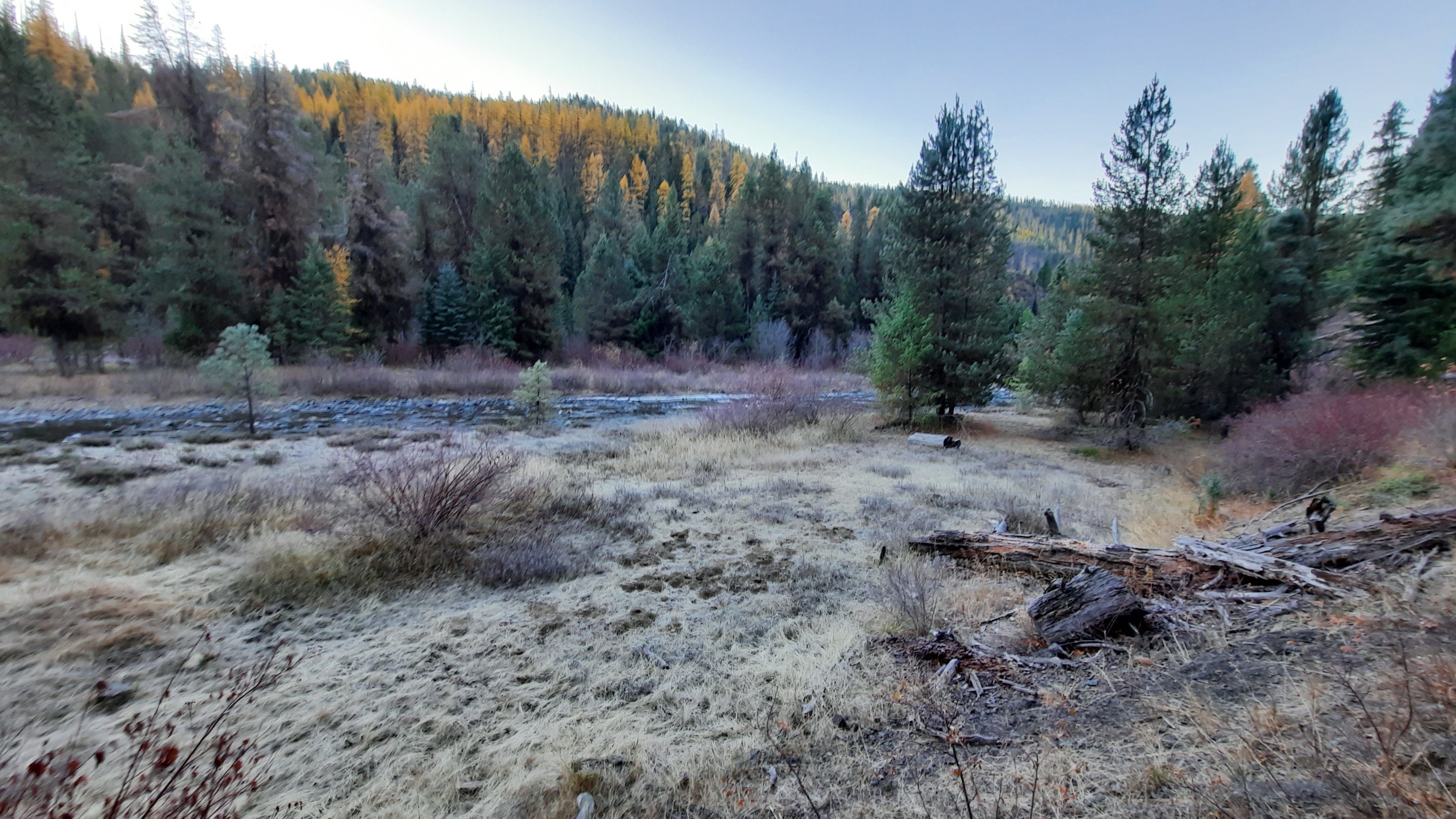
I had a break once I got to the road junction. Oh, to linger in the sun. Shoes off, the air warmer than it’s been in weeks. Late October what?!?!
I took the long-cut in front of me. There was a short-cut road walk through the forest, or a long-cut up to some views and around the forest. Jared said the way up had some lovely views, so I went that way. And up was an understatement. The roads around here are steeper than trail! But at the top of that climb was the skyline of the Elkhorn Crest Trail again…it looked so different. No snow at all anywhere. I was happy I was up there for the brief moment in time when it was all frosty white. I see how lucky that was now.
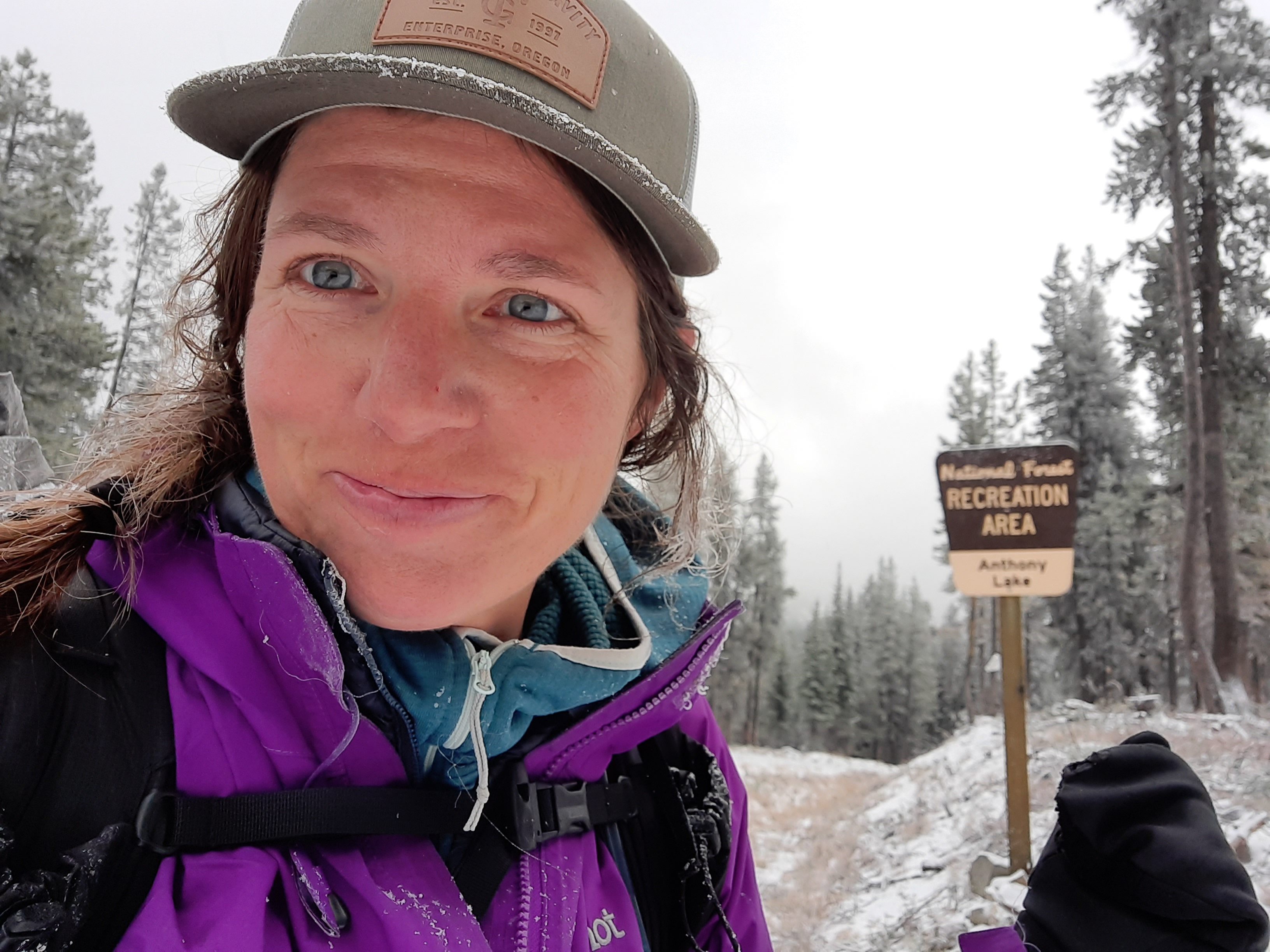
Lots of roads, but then trail! Beautiful, glorious, cleared trail! I popped out on a road and crossed to the Crane Creek Trailhead which will usher me back into the North Fork John Day Wilderness again. There were orange caution vests about…today was the start of elk rifle season…and I was prepared in my bright red wind jacket and my own day-glow orange vest draped over the back of my pack. There would be no mistaking me for an elk.
The next 4.5 miles were a walk along the quiet creek; meadows lined much of the route until I got to a steep gorge where the water filtered through ice that still edged the rocks. The different states of water created all sorts of sculptures and fascinating features as the water flowed through and over and under.
I popped out on the North Fork of the John Day River and spied a big horse camp. I forded the icy water to the trail on the other side.
I turned a corner and there sat three Coors Light beers in the middle on the trail. I don’t mind if I do! I picked one up, popped it open, and enjoyed the frosty cold beverage as I walked a few more miles till I found a lovely spot for me and my tent. Ok Blue Mountains Trail, this is the second unopened beer you have left for me on the trail. You really are magical. Have you heard the phrase: “The trail provides?” It seems the BMT is taking that to a new level.