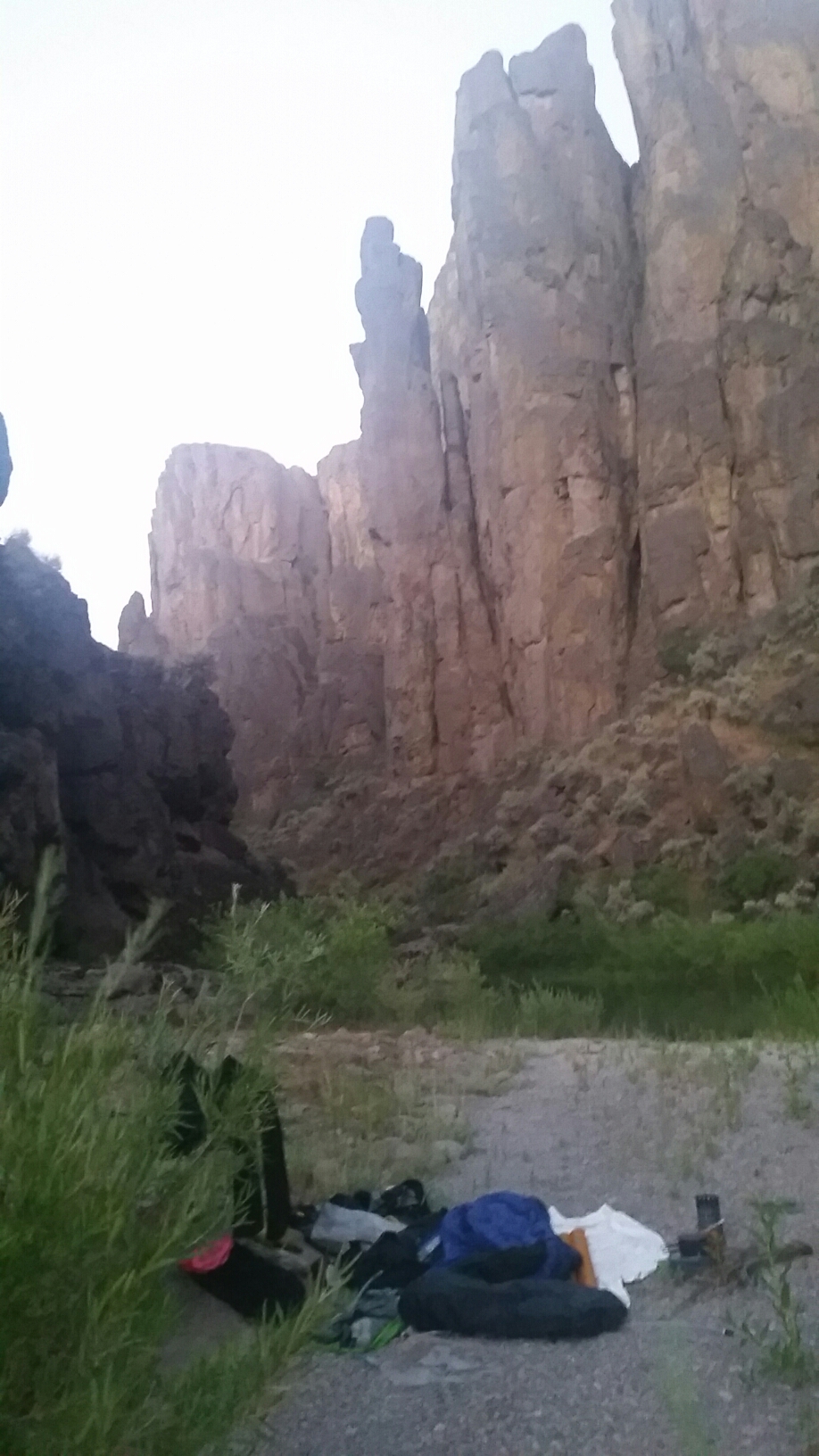
I slept well despite being visited by some animal in the night. I think it might have been a raccoon after all the dead fish.
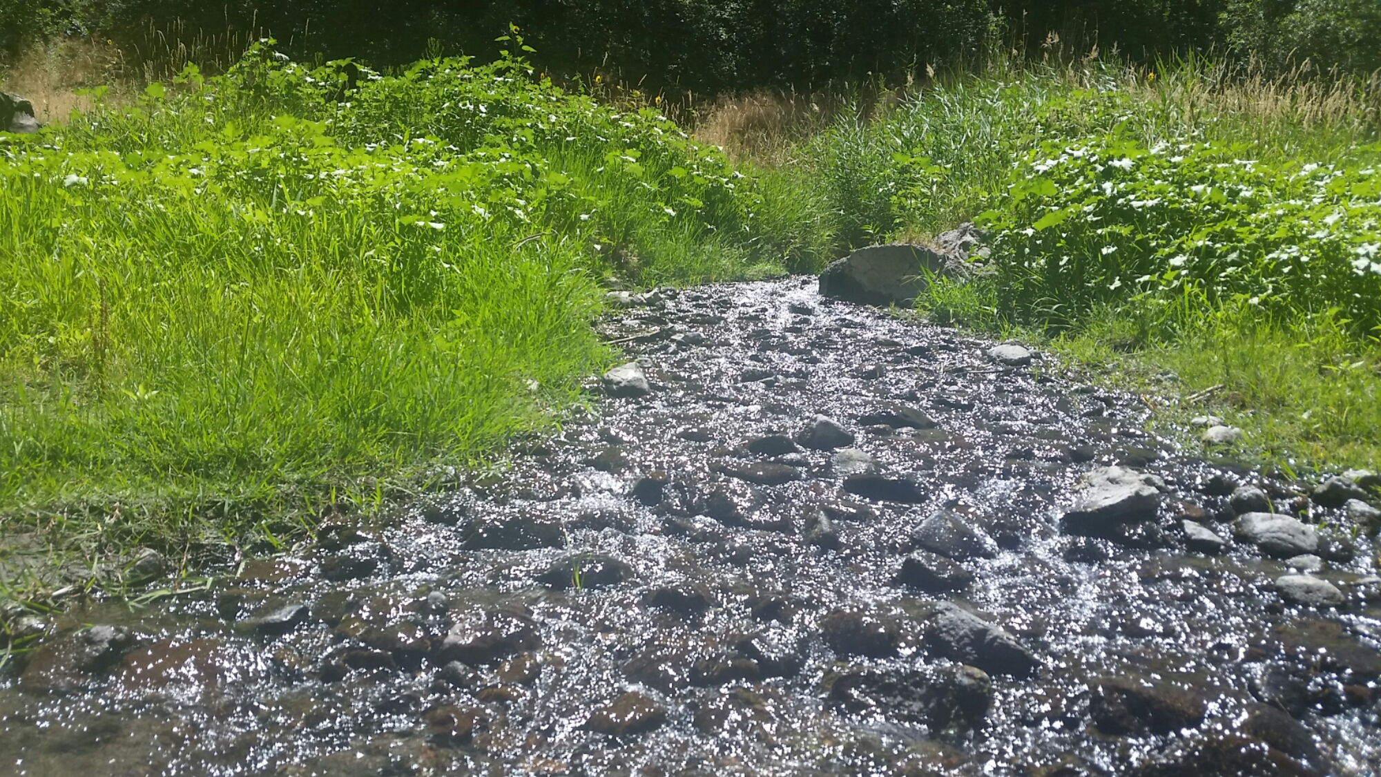
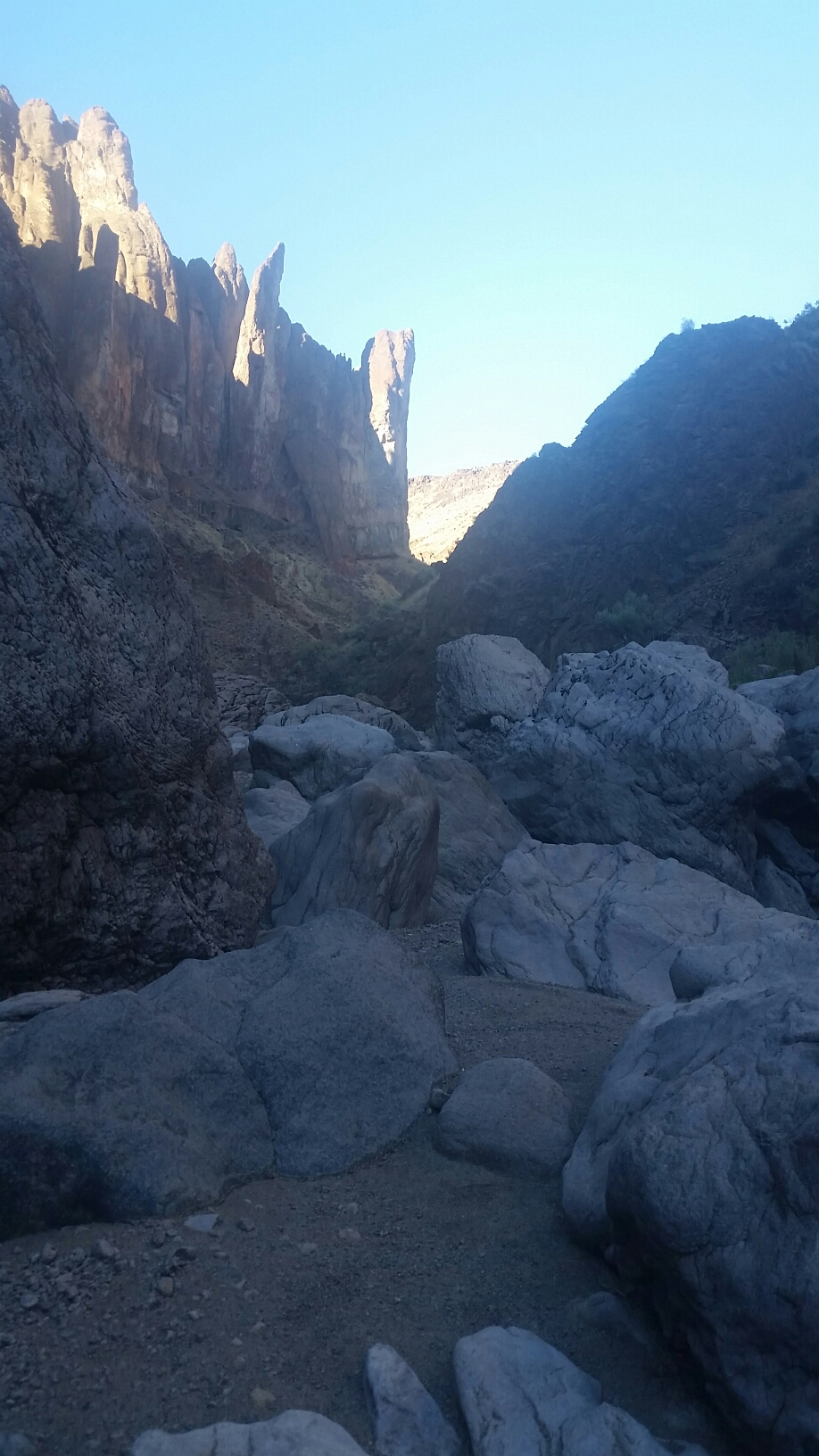
After my coffee I loaded my boat and started paddling the last few miles to the take out. I soon came upon Willow Creek where the trail meets the reservoir. I saw where hikers will skirt the edge of the water, and after Spring Creek will need to climb up about 100′ to avoid some pretty steep terrain along the water. Spring Creek even had a little trickle in it.

Gittin it done!
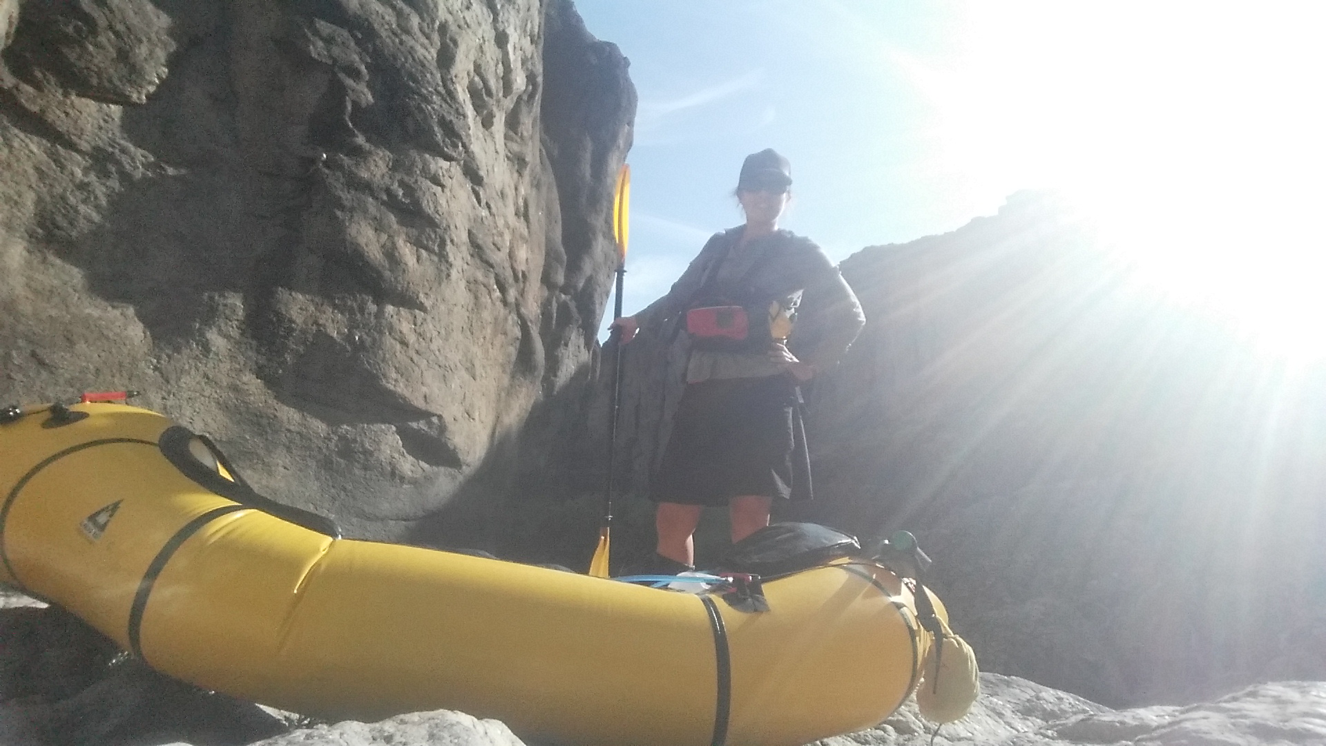
I got to the boat ramp just as the only car in sight was leaving. I took the next hour to transition to my hiking gear and fill up my 5 liters of water. Just as I was leaving a pickup comes in and pulls over. Ross and his friend were out for a drive, and we chatted for a few minutes about my trip and the incredible history of the area. They gave me a bottle of cold water before they left, thanks guys!
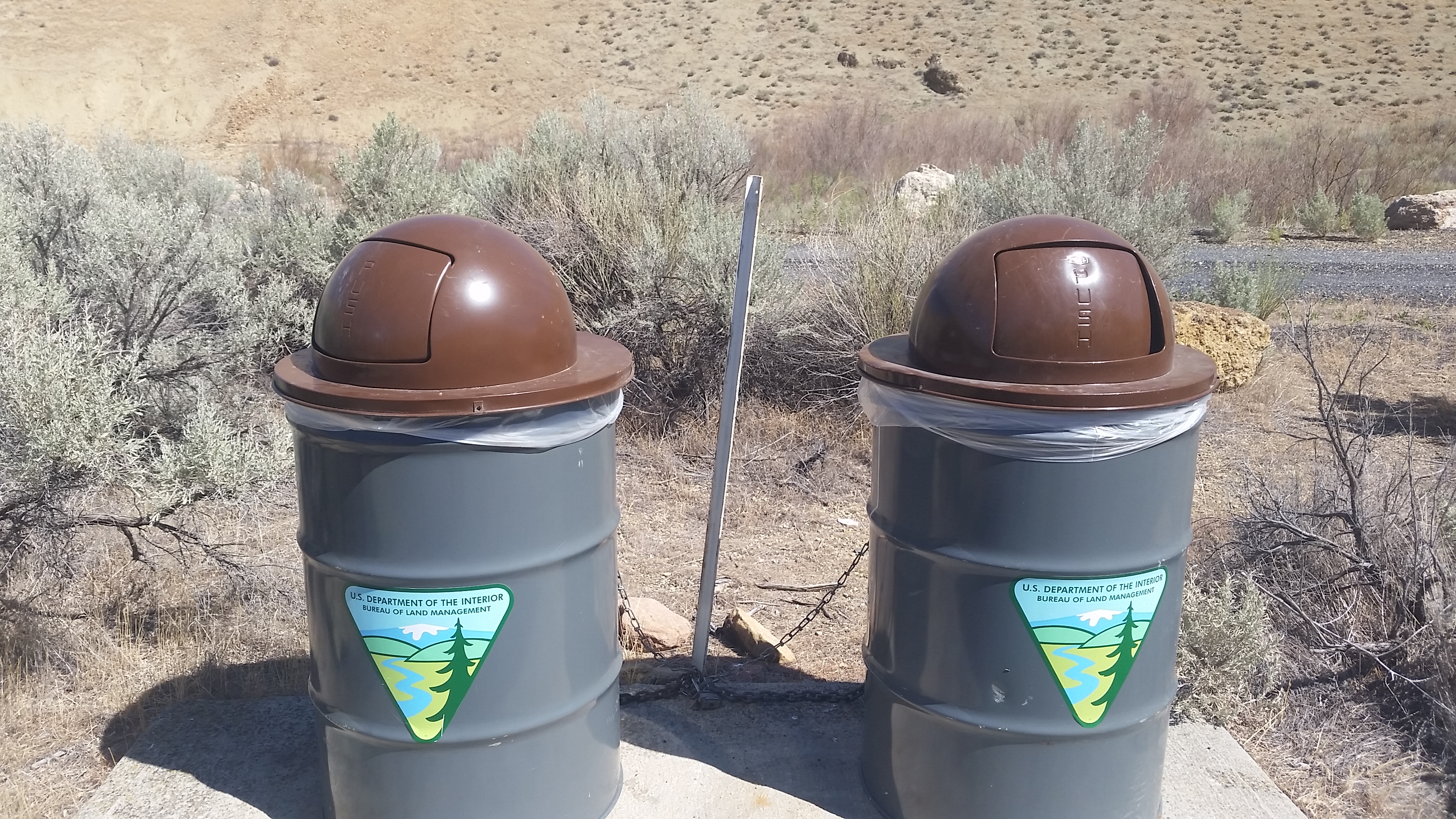
Trash cans at Lesley Gulch! It’s the little things…
As I walked up the road I immediately began second guessing my plan to hike the remaining 30 miles to the end. It was hot. So hot that I thought I might get myself in trouble. Heat exhaustion, heat stroke…I didn’t like my chances.
I sat down on the side of the road trying to decide what to do. Night hike? Paddle to the end? Get a ride out? Being this close to the end I’m mentally almost checked out. Packing up here would be so easy…but I’m so close. What to do…
After a long break I decided to go back to the water and inflate my boat and paddle to the end point. As I was walking back to the boat launch a truck pulled over and asked if I wanted a ride. “Sure!” I said, relieved to not have to walk that hot mile again. I hopped in the back of their pick up and they drop me off at the sheltered picnic tables where I would repack my boat. The couple was from Portland and were very curious about the Oregon Desert Trail and in fact they had seen the Patagonia article that Jeff Browning had written about running this section. I’m pretty sure they came out here because of that article and they loved the Owyhee region so much that they thought they would bring their kids here next year instead of Zion as they had originally planned. They were true trail angels and left me with a cold Gatorade and can of Guinness for later.
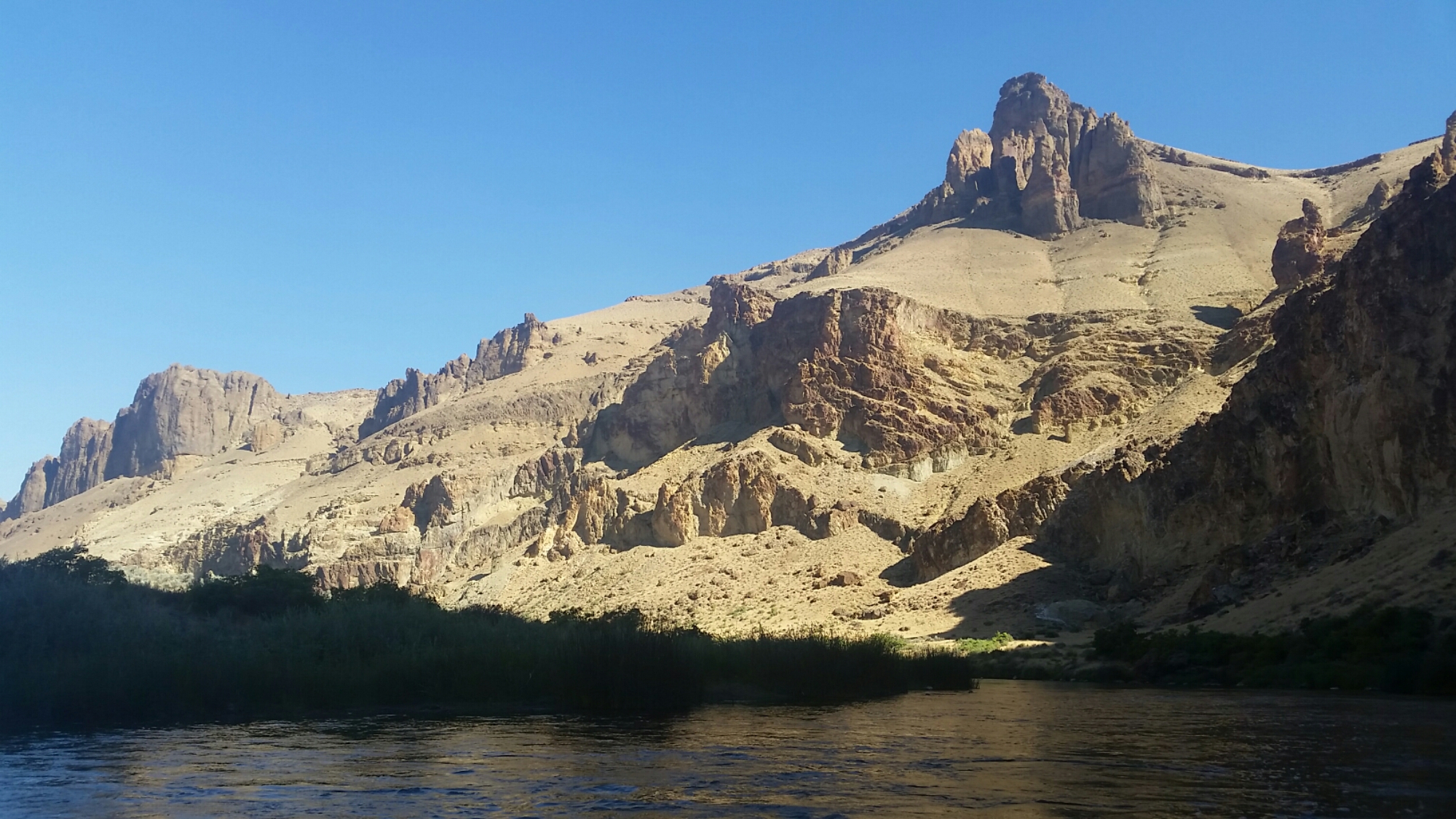
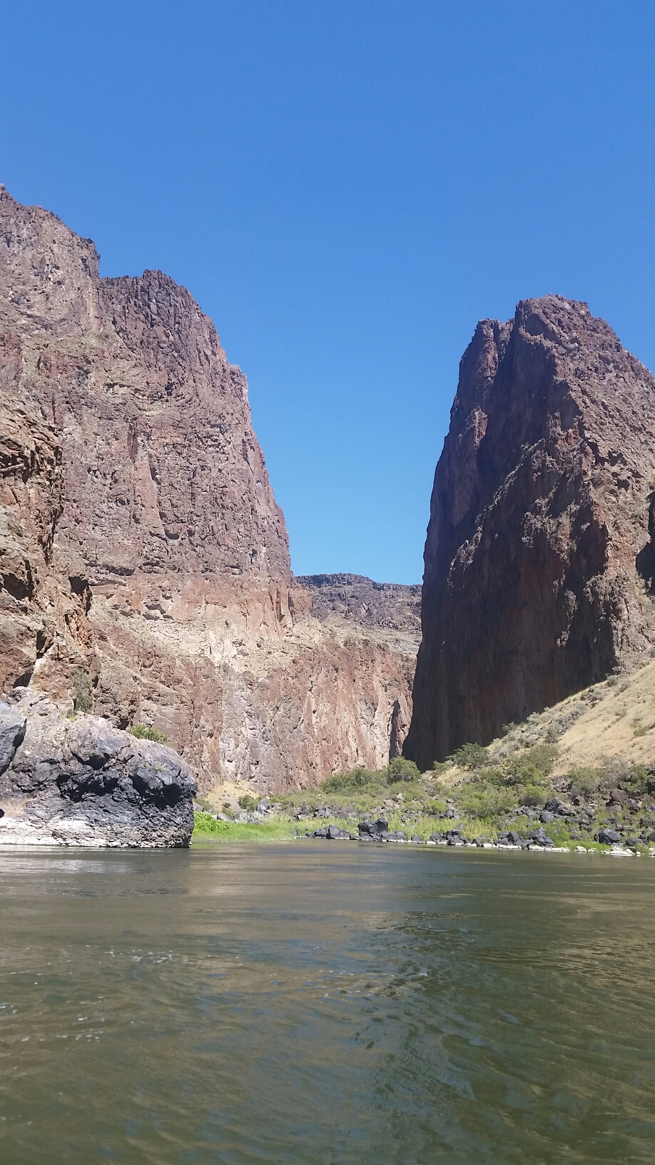
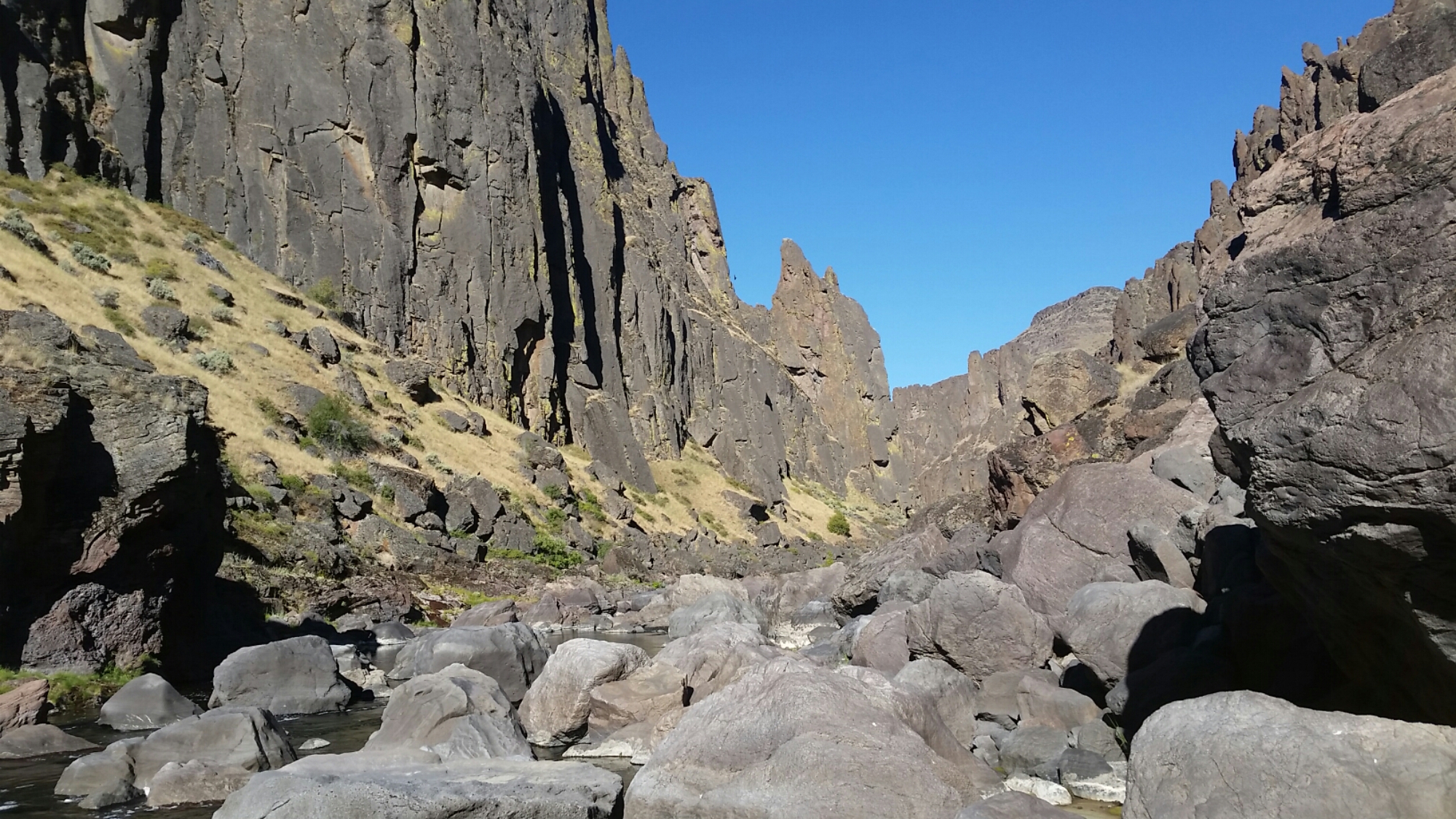
I had been hesitant to paddle in Lake Owyhee because paddling flat water in the packcraft is not very efficient, but I seem to do OK on the slow river this week, and given it was so hot out this seemed like the best decision.
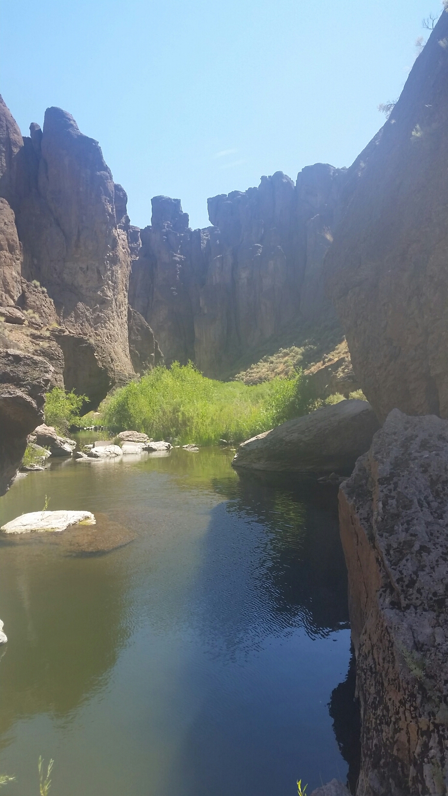
I texted Kirk the change of plans and I paddled for a few hours. When the wind began to pick up I pulled over and made camp. The water levels are about 15 feet below where you can tell they normally are. There are less dead fish but I still had to flip a few away from my camp spot. The water has a filmy green algae floating in it, and since I’ve been swimming frequently now I smell like algae and dead fish too.
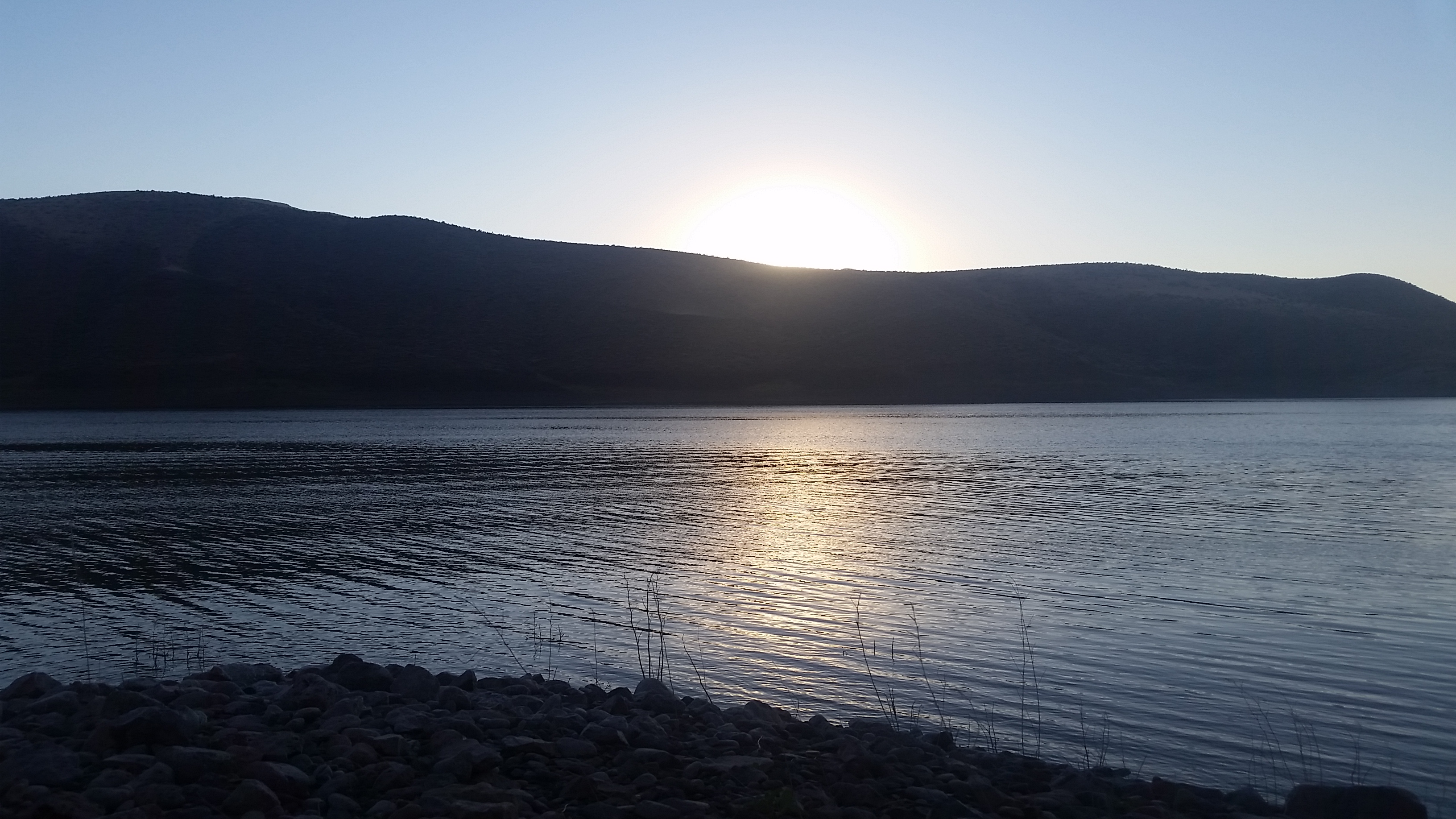
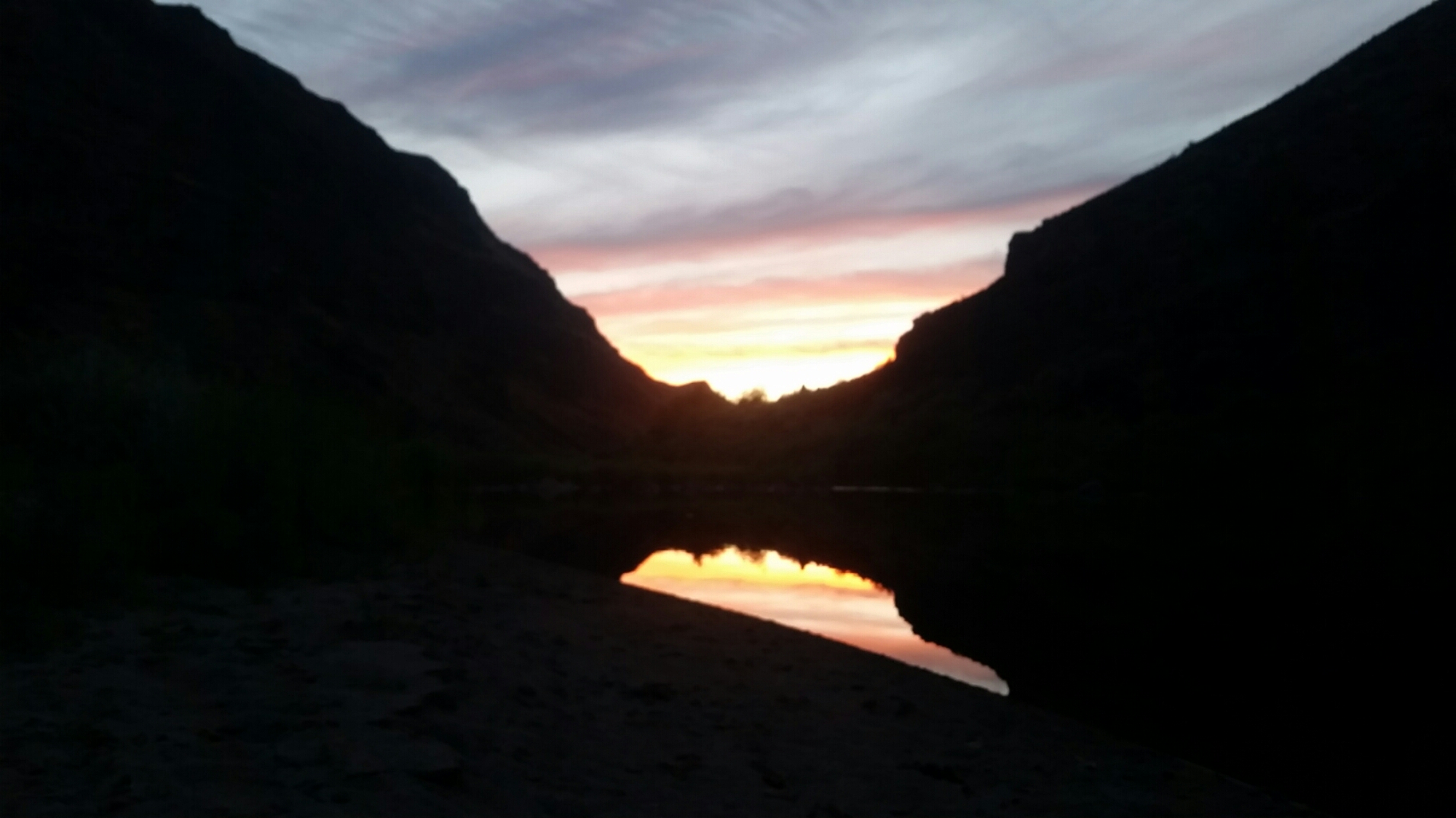
The best part of the day was when that hot hot sun set.
I not sure how many miles it is to the end at the Indians Springs campground but I’ve been using the tracking function on my gaia gps app so I should know when I get there. I’m guessing it’s about 20 miles from where I am. Kirk later texting me that it was over 100 degrees out. No wonder if feels so bloody hot. I’m really glad I decided not to hike; it would have been a nightmare. I hope Christof who is trying to run the trail right now is doing okay in the heat. I’ve been thinking about him a lot out here; when I was in Rome he was approximately halfway, but its been much hotter since then. I’m looking forwad to finding out how he’s doing. And getting in some air conditioning.
Update: Christof finished his run of the trail on July 29! 18 days, 750 miles.