Oregon Coast Trail: A day – 16ish miles

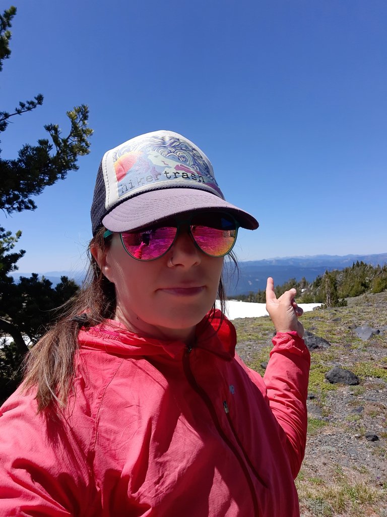
Nothing like a little adversity to put some pep in your step.

Low tide was at 4:45am. The Sixes river crossing was 5ish miles from our campground. The Elk River was another handful of miles past that. Both should be crossed at low to mid tides. High tide is at 11:15am. What time should I start?

😬

Add in storm surges and rain.

😬😬

I decided on a 4:30am start, 3:50am wake up to make coffee and pack my day bag.

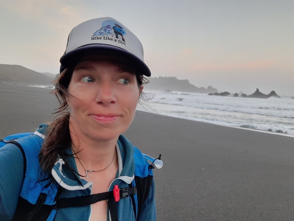
Out by headlamp. I should get to the first river crossing just at first light. No problem, right? Just hike hard and don’t stop.

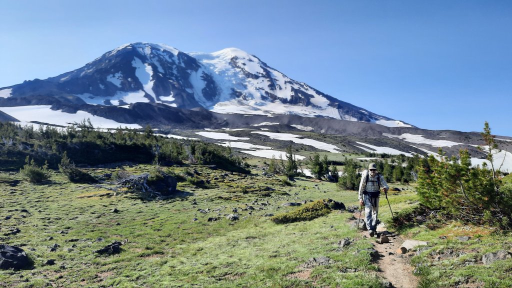
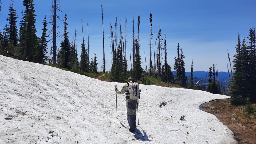
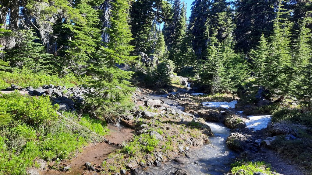
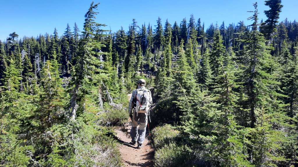
Fortunately, Kirk and I hiked a few miles of this section of the Oregon Coast Trail a few days ago when it was merely pouring, not dark and pouring. It was a lovely little coastal tree tunnel of a hike then. Now it is a dank dripping dark tunnel of odd shapes playing in the shadows of my headlamp. Let’s do this!

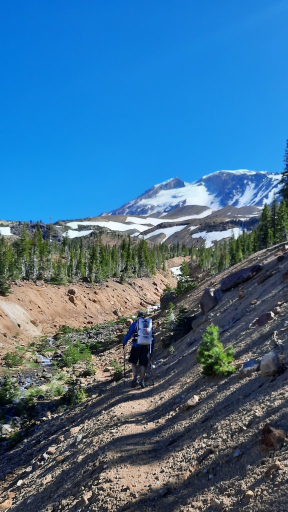
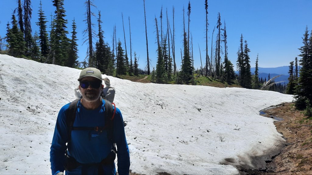
Kirk and I are based out of Flores Lake for the last week of September for some much-needed R&R. Kirk has fallen down the foil boarding rabbit hole for a while now, and we were camping next to one of the best places to foil board in Oregon. (The link is not a photo of Kirk…maybe one day he’ll get some air!) Flores Lake is an inland lake that sits a mere sand dune away from the ocean, and all that wind is perfect for wings, kites, and sails.

He saw water. I saw trail.

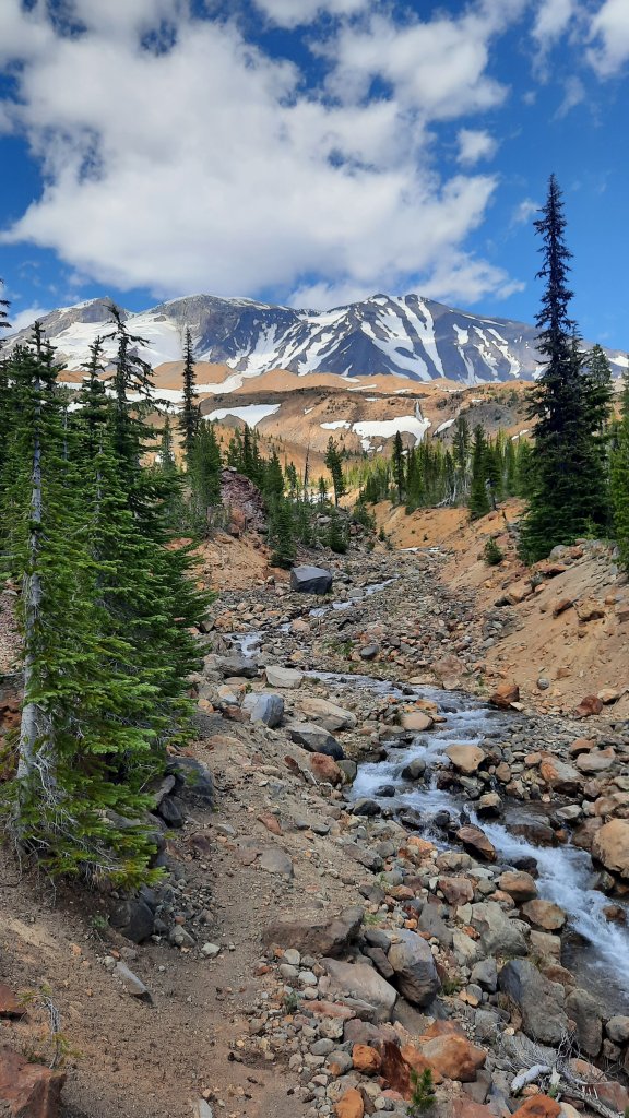
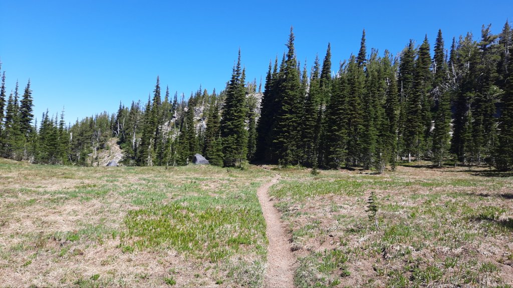
We were also camping on the Oregon Coast Trail, well, everywhere on the coast is the Oregon Coast Trail. I had done small sections here and there, but nothing very deliberate. This would be the same: more opportunistic than intentional. I perused my copy of Bonnie Henderson’s Hiking the Oregon Coast Trail. Bonnie’s book is a wonderful resource and has most of the information you could want…aside from real-time conditions, which turns out is very important! I can imagine hiking the whole trail is a daily race against the tides…but then again there is something wonderfully humbling about walking next to the ocean. Your agenda becomes very small next to the expanse. You are on ocean time out here, and that is something you can’t forget.

But back to the hike.

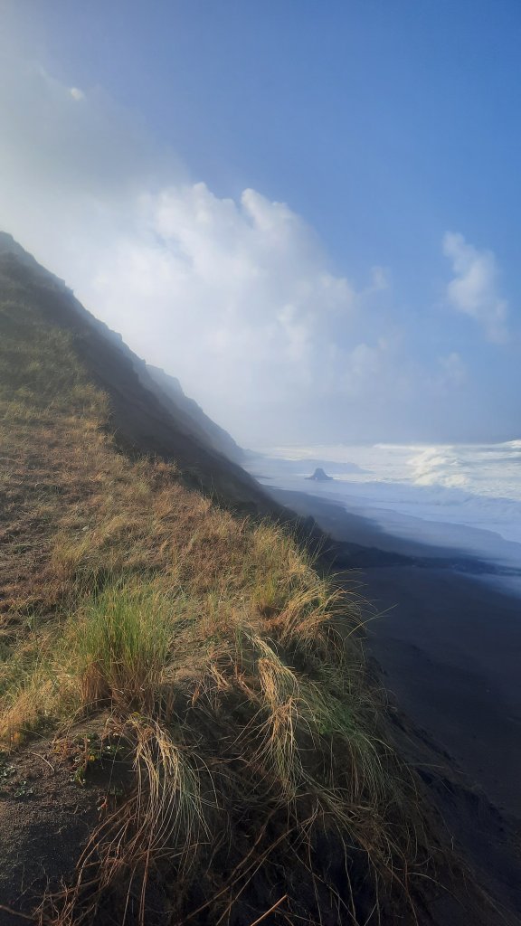
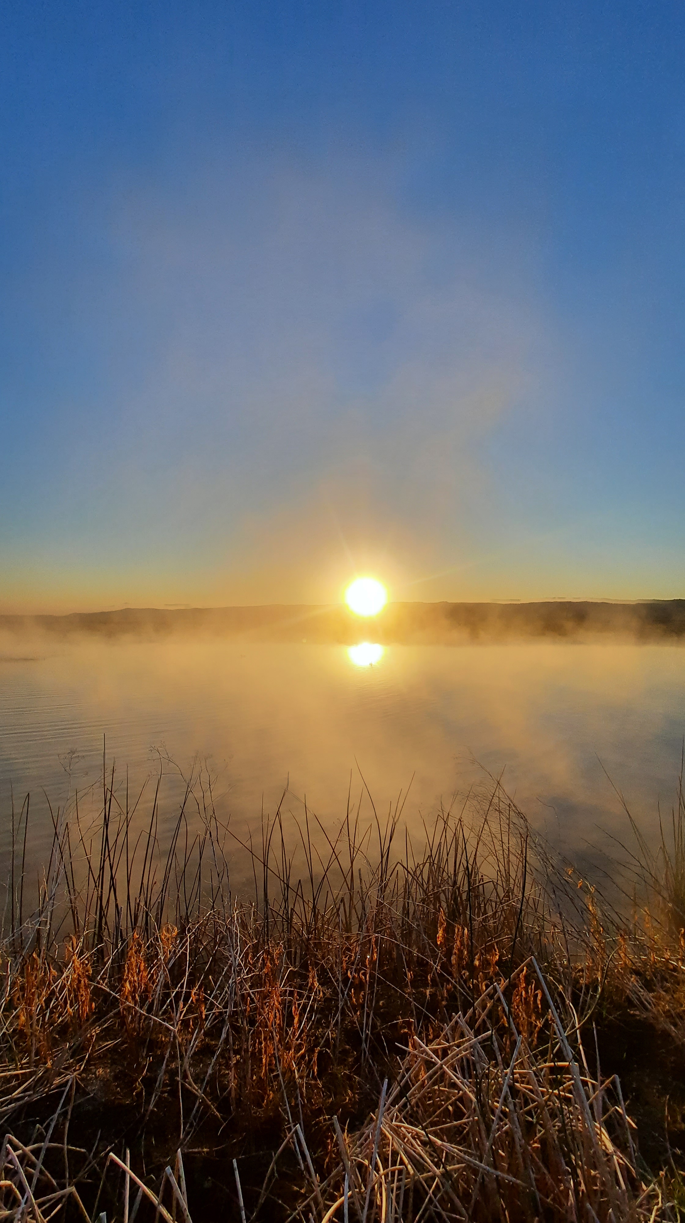
The sky dried up shortly after I left the warm camper, and brought a brillant blue to keep me company.

I kept a brisk pace and made it through the river fords in time. Both crossings were almost fanny pack deep. Almost, but not quite.

I thought I could relax then…I had been hiking hard for about five hours and was ready for a sit-down. I found a bluff perched over the incoming tide and puzzled over the next section. The guidebook didn’t say anything about high tide and the beach disappearing on the last stretch to Port Orford, but there I was, looking down at a beach with just feet of sand showing and the tide continuing to rise. No mam! I would NOT be walking that spit of beach. It must be the storm surges, surging up on the beach I was supposed to walk. I could wait hours for it to come back down again, or find a way around.

That’s a hard no for me.

After quite the deliberation and some fancy map work, I managed to get myself to Highway 101 and continued my hike south from there. It wasn’t as picturesque as the beach would have been, but it was safer, and on a thru-hike, it’s about connecting footsteps, right?

But I wasn’t on a thru-hike. I was on a day hike. 😔

Nevertheless, I did what all good thru-hikers do when they get to town: look for food. I came up to Crazy Norwegian’s Fish and Chips shop and ordered a snack while I waited for Kirk to come meet me for lunch.

The higher-than-usual tides and river crossings certainly make the Oregon Coast Trail something to respect and plan for. When I come back I’ll bring a packraft….those river crossings would be a cinch most of the time with one of the tiny inflatable boats like I used on the Columbia Plateau Route this spring.

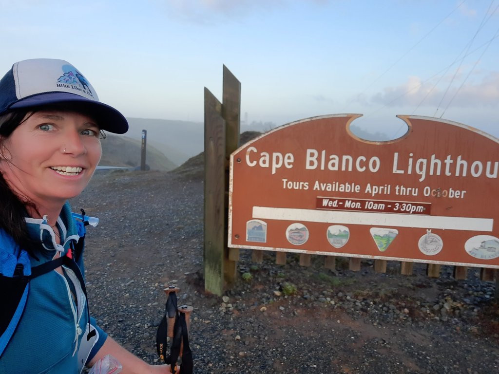
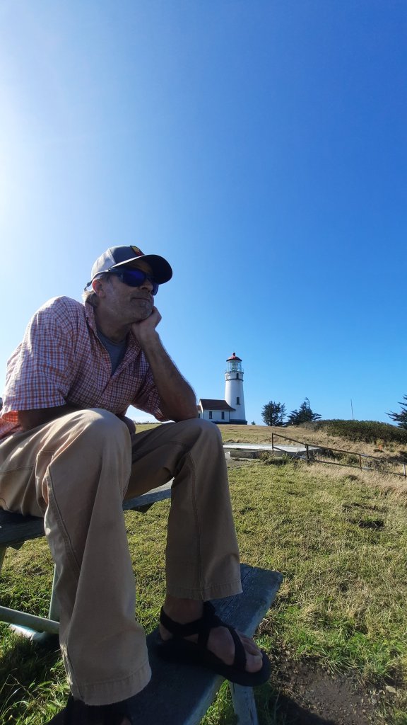
The rest of the afternoon we did the tourist thing, walked the beach (!!) And visited the Cape Blanco light house which I had crusied by hours ago.

I’m not sure when I’ll be back to hike more (or all), but you can be sure it is on my list, that ever-growing list of trails and routes. I’ll be back, oh yes! I’ll be back.

If you have read this far, thanks! If you want a sneak peak at what I’m up to next, click here. More info coming soon 🙂

Upcoming Events

I’ve got lots of great things on tap this summer/fall. If you are interested in catching me for an online talk, conference presentation, stewardship trip, or backpacking class check out some of my upcoming events (more coming soon). You can always find an up-to-date list on my website here.

  • August 16, 12pm – Free online presentation for the Mountain Lion Foundation
    • Hiking Through Lion Country
      • Name a long-distance trail and Renee “She-ra” Patrick has either hiked it (Pacific Crest Trail, Continental Divide Trail, Appalachian Trail), designed it (Oregon Desert Trail, Blue Mountains Trail), or it’s the next trail on her bucket list (Pacific Northwest Trail). Renee has encountered a cougar – once – in well over 11,000 miles of hiking. In this talk, she’ll share practical advice for how to coexist with wildlife while out on trail, highlight key conservation issues you could be hiking right through and share a few inspiring stories of hikers who have become terrific advocates for wildlife and wildlife habitat.
    • Register here
  • August 19, 10am – PCT Days – Free presentation
    • How do we Improve the Long-Distance Trail Experience?
      • Have you ever had an idea of how to create a better trail experience for yourself or others? Are trails meeting the needs of everyone in our community? Join Long-Distance Trail Consultant Renee “She-ra” Patrick to discuss improving the trail experience, applying UX Design principles to our long trails, and creating an environment where hikers can learn about the environmental, cultural, and natural elements that make each long-distance trail unique.
    • Find out more info here
  • September 10-14 – Shift Summit – Speed talk
    • Creating Conservation Advocates Through Long-Distance Hiking
      • The conference is a national gathering of great minds who care about improving the intersection of nature and preventive health for humans and lands. Attendees tend to be researchers, policy managers, health providers, planners, governmental, outdoor recreation, business, non-profit, military, foundations and philanthropic funders, educators, retailers, faith-based, conservationists, and/or nature-intervention professionals and organizations.
    • Register here
  • September 18-21 – ONDA volunteer trip
    • Steens Mountain Wilderness Trail Maintenance
      • Join me and the Oregon Natural Desert Association to partner with the Burns BLM for National Public Lands Day to improve trail conditions and increase access to other stunning areas of the Steens Mountain Wilderness.
    • Register here (trip full)
  • November 2-4 – Oregon Outdoor Recreation Summit
    • Apply UX Design Principles to Your Trail Projects
      • The 2023 summit will bring together Oregon’s outdoor community to learn, build relationships, and find solutions to the challenges we face in developing and elevating outdoor recreation opportunities to best serve Oregon communities and celebrate and protect our natural, cultural, and historic wonders.
    • Registration opens soon
  • November 8 & 11 – Central Oregon Community College Class
    • Cold Weather Backpacking on the Oregon Desert Trail
      • In a classroom session, I discuss strategies to stay comfortable, safe, and strong during cold-weather backpacking trips, followed up by a day hike in the Oregon Badlands Wilderness along the first section of the Oregon Desert Trail.
    • Register here

Mt. Adams – Day 5

We have been enjoying sleeping in out here; there is no need to rouse ourselves at any particular time. The trail will be there no matter when we start off, and the mild mileage lends itself to flowing days that can just happen without too much effort. I quite like it.

There were only a few miles left to intersect with the Cold Springs Trail that would deliver us back down onto the car, and we enjoyed the cool, bug-free morning walk. The sky had started to haze up the past day or so, and we theorized that a fire or two probably broke out while we were meandering on the mountain. Layer we found out the Tunnel Fire in the Columbia Gorge had burned up 10 houses and had reached about 500 acres.


Kirk won the first-to-spot-the-cars game, and before we knew it, we were slowly making our way back down the bumpy road, eating many of the snacks we left in the car.

A short trip to a burger place in The Dalles produced one of the largest burgers we had ever seen, and Kirk did his best to eat what he could…but five days of hiking wasn’t enough to create a hunger that can polish off a burger as big as your head.


Then the drive home….since we got home on a hot afternoon, there was time for a river float with my dear friend Carrie… a highly recommended way to finish a trip!

Mt. Adams – Day 4

Brrrrr, I was borderline warm enough at 7,000′ last night in my 40-degree quilt. At least the cold sent the mosquitos to bed… When I woke up, I was able to spend at least part of the morning away from my netting and spray.

Kirk and I took our coffee up the mountain a short way and absorbed the layers of mountains on mountains the stretched as far as the eye could see.


Our goal today would be to turn around and hike back towards the start….out and backs aren’t usually my thing, but when traversing around a mountain, the change in direction does bring different aspects to light.

We hiked the hike, passing just one hiker going north who looked suspiciously fast and lean….a PCT thru-hiker trying their luck on this northern section? The unprecedented levels of snow in the Sierra mountains this year have thru-hikers scrambling to find suitable sections to hike. July seems doable up here right now….


This trip has been particularly helpful in letting some new ideas percolate (ideas for the new business that is….). One outcome from the hiker survey that I launched in March were the very high numbers of long-distance backpackers who want to learn about, and be engaged in, environmental and conservation issues that affect the trails they hike. I had been primarily focused on infusing that information within the trail materials by working with the trail organizations, but now I see other opportunities to work directly with hikers….thus some of my expanded services I announced recently. But I have other ideas too. Oh yes! On this hike, I kept working at one particular idea that has been floating around for about six months now. I would pick it up, think on it a bit, put it away, pick it up again, modify it a little, and little by little, I think I have a really great concept. Walking helps me work these ideas out. Walking is the best.

The incessant bity bugs made stopping for breaks unpleasant, so we kept going, taking small respites in windy spots when we could. We did notice, though, that when we got closer to the south side of the mountain (and an old burn) that the mosquitos lessened. Perhaps there were fewer pockets of trees for them to hide out in?? The wind had less resistance in the burn and could blow them all to the northwest side of the mountain? We weren’t complaining! Whatever the magic that kept them away was most welcome.

Too buggy to stop for lunch, so pocket lunch!


We both got stumbly towards late afternoon and settled in a creek-adjacent campsite just a few miles from the trailhead. All of our good food was gone, and we regretted the last-minute decision a few days ago to leave extra snacks in the car. They wouldn’t have been extra after all. We would have eaten them all!


We played cards and closed our eyes early. It’s nice to have sounds of rushing water tonight.

Mt Adams – Day 3


We weren’t blasted by sand and grit during the night, and the clear skies throughout the night and morning promised a brilliant day.

From our perch above Crystal Lake we had a magnificent sunrise…even though we were camping on the western slopes of this mountain, the light found us early and warmed up the mosquitos faster than we would have liked.


The order of the day? Walk. Not too far, not too close, we wanted to walk just the right amount so we could backtrack tomorrow and cover most of the miles back to the trailhead and have a quick up and out on our last day. So, we set our sights on a place called high camp on the northern folds of Adams and set off through the mosquito haze.

Oh PCT, you are my muse. Could there be a more perfect trail? Of course there can be, but this one has just got it all. Today: views, views, and more views. We were inching closer to Mt. Rainier – that hulk of snow and ice had its own trail around the mountain…Kirk and I hiked that one the first year we started dating…the Wonderland Trail is extremely spectacular, but this Adams hike has got me all awestruck because of its even keel…the well graded trail is just so dreamy. We don’t have to work as hard as we did on the Wonderland.


Anyway, we stop for a short break on a lava flow, hoping a breeze will keep the monsters at bay, and it kind of works. But the best bet is to stay covered up and not give them a chance at skin.


Soon, we are at the side trail to go up, but this is no forgotten side trail like the one to Crystal Lake; this one had a lot of footprints. This one was well loved.

And it went up! We climbed and climbed to top out on a broad flat with trails criss-crossing the deep green alpine vegetation. This area had just started blooming where the snow recently receded and the sun just warmed. We crossed snow filled ravines and found the perfect perch right below the crumbling glaciers of the mountain above and to the side: Mt. Saint Helens features prominently on the horizon….the view was all mountains, every direction.


It was early, so we spent time reading, napping, exploring, playing cards, and just looking at the endless views.

Sunset was magnificent.

Mt. Adams – Day 2


The beasts have woken. They haven’t gotten insanely bloodthirsty yet, but with each hot summer minute, more and more mosquitos hatch and hone in.

We picked an extremely scenic yet windy spot for our tent last night. Once the sun went down, the winds picked up and started splashing up a fine volcanic sand into the air. We were already dozing by this time, and the increasingly gritty air roused Kirk. He got up to put the fly on the tent, but everything was already covered in sand. In the morning, piles of sand were in every little crevice, even our eyes.

First creek of the day: fash wash.


The trail around Mt Adams is blissfully graded. Even though we hadn’t met up with the PCT yet (we would get there about mid-day), the trail followed the contour lines of elevation most delightfully. The walking was wonderful. Of course, this was early season, so numerous blow-downs created tree gauntlets.

But now: the aches. My hip still hurt. But it was more like a dull ache today. I must have pulled a muscle climbing over one of the first fallen trees. It wasn’t debilitating, but I slowed my roll anyway. Oh, my hips!

The snow drifts increased in number and size as we worked our way to the western side of the mountain. Kirk put on his gortex socks, and I put on my chacos. We had two different strategies for dealing with the slushy snow.

PCT!!


The trail’s character didn’t change much when we reached the PCT; we were half expecting a wide superhighway of a trail, but it stayed 12″ and moderate. We did see many more footprints, though, and one woman with a tiny dog on a tiny leash.

Our goal was a high alpine lake. One map I had showed a trail to Crystal Lake, the other one didn’t. Then we missed the trail junction…the sign could have been under snow…but we found our way up, and faint traces of a trail disappeared under snow drifts and trees that had shattered in 200 pieces when they hit the ground.


Ironically, we started to see footprints, and when getting to the little aquamarine blue lake, met the two other backpackers (there have been very few people up here). There was room for all, so we hiked up past the lake to find the perfect nook with a view. This spot had trees for hammock time and enough shelter from the wind that we expect to be sand-in-the-face-free in the morning.

Except the lack of wind meant the beasts were out. And they were thirsty.

Mt. Adams – Day 1

This isn’t a thru-hike of Mt. Adams. This is a dabbling around Mt. Adams. A meandering, a wandering.

Sure, we could hike all the way around (it’s about 40 miles and requires a short cross-country talus/scrambly section through part of the Yakima Reservation (advanced permit and permission needed), but we don’t want to go that far.

Sure, we could climb the mountain, but I have done that before, and I’m not a mountain climber (I don’t really get excited by getting to the top of things), so instead Kirk and I are going to hike out and back, touch part of the PCT on the west side, and just enjoy our Mt. Adams dabbling.

I was stoked to get Kirk on a trail, too. We definitely trend more heavily to the water in the summer. Sweating up the side of a mountain can be a little brutal on an 80 degree day, but my vague recollections of a stunning cruisy trail in an alpine wonderland when I hiked the PCT in 2006 was quite appealing.

We left Bend early afternoon and fought our way through the growing throngs of vacationers and their RVs and boats tied precariously to the tops of their Subarus. It would be faster for us to drive up to Washington and the side of Mt. Adams than some of the other destinations in Oregon we had been thinking about. I forget about Washington sometimes!

The last hour of driving up to the Cold Springs Trailhead where our hike would start was a progressive nail biter. The road got increasingly rutted and narrow the higher we climbed in my little Honda Fit (oh please little car, please make it!) When big dipping swales across the road started popping up (to divert water), I scraped bottom a few times and crossed my fingers. Just as I was getting real nervous about the drive, we were there. Cars and trucks filled in the little parking spaces between small stands of trees and open burn area.

We found a spot just big enough for our little car (note: we weren’t the smallest car up here!) and started packing up.

There was little planning for this trip, so a rushed trip to the grocery store on the way up provided our 4-day food provisions. We repackaged and shuffled things in and out of stuff sacks before we were ready to go.

Then, hiking.

We walked through the old burn…it continued in and out of view as we worked our way up 1000ish feet to the Round the Mountain Trail.


Immediately, my right hip started hurting. Like a real hurt.

This was baffling: it hadn’t been bothering me at all before I started walking today. This felt odd and different. It felt like an injury, but there was no injury. Did I sit weird on the drive up? I guess I’m of an age where things like this can happen without warning. One minute, you are fine and going to multiple yoga classes a week. The next, you are limping up the side of a mountain.

We walked and I tried not to think about it. Today was just about getting a few miles up, so we soon found camp a few hundred feet above the trail, and I broke out the feast.


The evening put on a good show, and we watched the sinking sun in a bug-free bliss, happy, full, and living large.

Backpacker Radio #207 | Renee “She-ra” Patrick

I’m back!

I had a wonderful conversation with Zach and Juliana with Backpacker Radio in early June…we talked about lots of fun things (of course all trail related)…

You can listen here:

Or watch here:

If you haven’t heard my first conversation with Backpacker Radio, check it out here.

And, I announced my new services for hikers. Now you can work with me to:

  • PLAN A TRIP
    • Identify trip ideas that fit your skill and fitness levels.​
    • Get advice on planning logistics and resupply strategies.
    • Discuss gear options for different climates and seasons.
  • EXPLORE SOLO BACKPACKING
    • Plan your first solo backpacking trip.
    • Get advice to feel safe, comfortable, and most importantly, have fun when hiking alone.
    • Identify solo backpacking trip options.
  • ADVICE & COACHING
    • Talk through your backpacking goals and plans.
    • Get advice on gear or get a pack shakedown.
    • Discuss strategies about skill development, goal setting, planning, and more.
    • Learn how to hike a route.
    • Explore environmental advocacy ideas for your next hike.
  • DESIGN A LOGO
    • Develop the perfect logo for your trail name.
    • Brainstorm a visual identity.
    • Discuss a branding strategy.

To learn more book a free 20-minute meeting with me.

I have a summer logo special going on too (50% off through August)

Generosity and Gratitude

Imagine this sunrise. Close your eyes and soak in the warmth.

This song stats playing:

You are grateful. For this moment, for the light, for the music, and for the overwhelming desire to share this feeling with as many people as possible.

Now read this page from The Intersectional Environmentalist:

I can make a difference. You can make a difference.

May your day be filled with hope, optimism, and purpose.